Welsh's Clump

Wood, Forest in Roxburghshire

Scotland

Welsh's Clump

River Teviot, Nisbet From the bridge on the B6400.
River Teviot, Nisbet Credit: JThomas

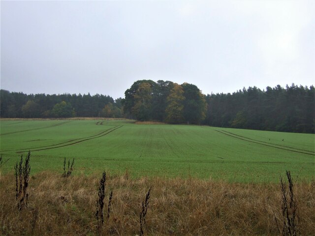
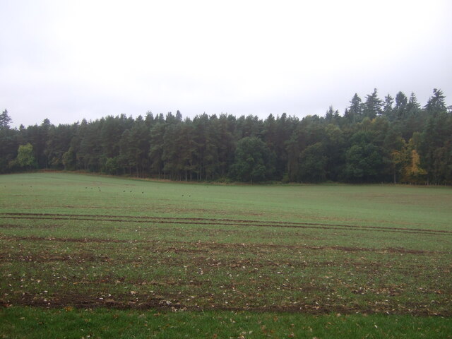
Welsh's Clump is a picturesque wood located in Roxburghshire, Scotland. Situated near the village of Hawick, this forested area covers an approximate area of 10 hectares. It is known for its natural beauty and serenity, attracting nature enthusiasts and outdoor lovers.

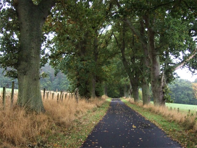
The woodland is predominantly made up of a mix of broadleaf trees, including oak, birch, beech, and ash. These trees create a dense canopy, providing shade and shelter for a variety of flora and fauna. The forest floor is adorned with a carpet of mosses, ferns, and wildflowers, adding to the area's charm.

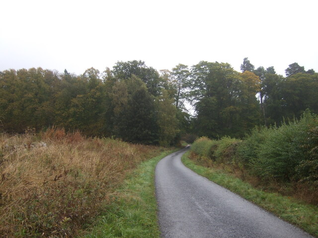
Welsh's Clump offers a network of well-maintained trails, allowing visitors to explore the wood at their own pace. These paths wind through the forest, leading to stunning viewpoints and hidden gems within the woodland. There are also benches strategically placed along the trails, inviting visitors to pause and enjoy the tranquility of the surroundings.

The wood is home to a diverse range of wildlife. Birdwatchers can spot species such as woodpeckers, owls, and various songbirds, while lucky visitors may catch a glimpse of red squirrels or roe deer. The peaceful atmosphere and natural habitat make Welsh's Clump an ideal location for wildlife observation and photography.

Welsh's Clump is a popular destination for outdoor activities, including walking, hiking, and nature photography. It offers a peaceful retreat from the hustle and bustle of everyday life, allowing visitors to immerse themselves in the beauty of nature. The wood's accessibility and well-maintained trails make it an enjoyable experience for people of all ages and abilities.

If you have any feedback on the listing, please let us know in the comments section below.

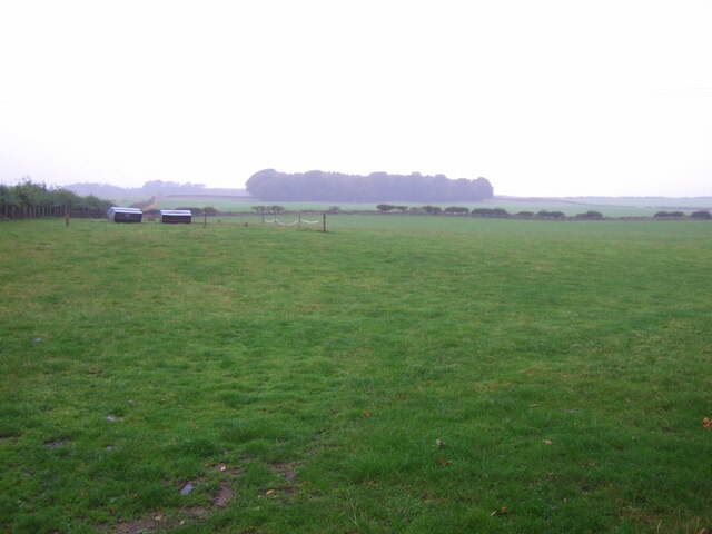
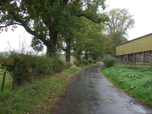
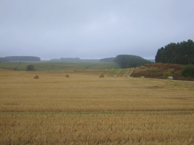
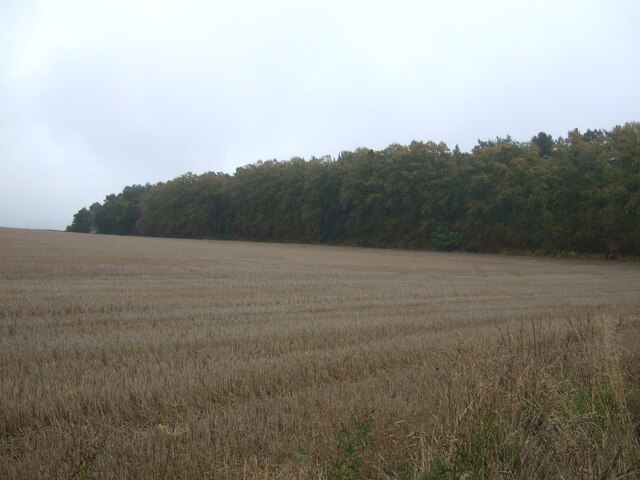
Welsh's Clump Images

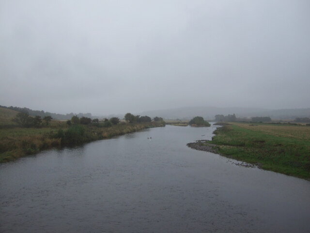
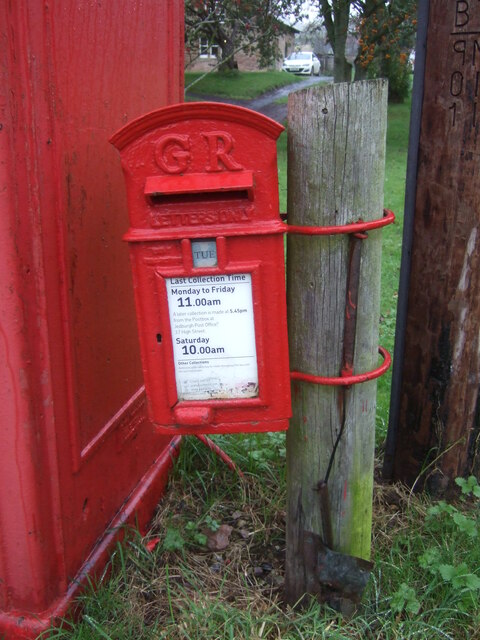
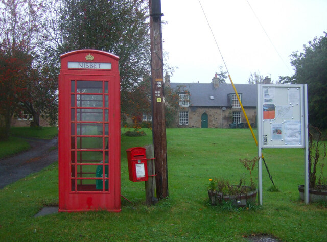
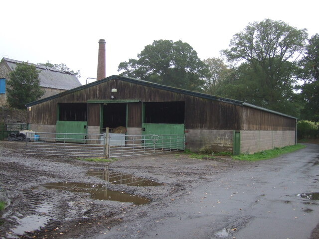
Images are sourced within 2km of 55.53351/-2.538056 or Grid Reference NT6626. Thanks to Geograph Open Source API. All images are credited.

River Teviot, Nisbet From the bridge on the B6400.
River Teviot, Nisbet
From the bridge on the B6400.
George V postbox, Nisbet Postbox No. TD8 96.

See <a href="https://www.geograph.org.uk/photo/7020744">NT6725 : George V postbox and telephone box, Nisbet</a> for context.
George V postbox, Nisbet
Postbox No. TD8 96. See NT6725 : George V postbox and telephone box, Nisbet for context.
George V postbox and telephone box, Nisbet Showing position of Postbox No. TD8 96.
Telephone box now houses a defibrillator.

See <a href="https://www.geograph.org.uk/photo/7020742">NT6725 : George V postbox, Nisbet</a> for postbox.
George V postbox and telephone box, Nisbet
Showing position of Postbox No. TD8 96. Telephone box now houses a defibrillator. See NT6725 : George V postbox, Nisbet for postbox.
Barn, East Nisbet
Barn, East Nisbet
Grazing, East Nisbet On a dreich day (hence lack of light and colour).
Grazing, East Nisbet
On a dreich day (hence lack of light and colour).
Minor road, East Nisbet Towards Roxburgh.
Minor road, East Nisbet
Towards Roxburgh.
Stubble field, Pirnie Bales still out on the field.
Stubble field, Pirnie
Bales still out on the field.
Farm track near Pirnie
Grazing near Pirnie
Grazing near Pirnie
Minor road near Pirnie Towards Fairnington.
Minor road near Pirnie
Towards Fairnington.
Ploughed field near Fairnington Towards Major's Plantation.
Ploughed field near Fairnington
Towards Major's Plantation.
Ploughed field near Fairnington Towards distant woodland and the Waterloo Monument on Peniel Heugh.
Ploughed field near Fairnington
Towards distant woodland and the Waterloo Monument on Peniel Heugh.
Minor road Fairnington
Stubble field and woodland, Under Snipecleuch
Minor road into woodland, Under Snipecleuch
Winter cereal crop and woodland near Woodside
Minor road towards the B6400 With sturdy roadside trees to catch the idiot drivers.
Minor road towards the B6400
With sturdy roadside trees to catch the idiot drivers.
Emerging crop towards The Moor woodland Looking down a valley.
Emerging crop towards The Moor woodland
Looking down a valley.
Show me another place!

Welsh's Clump is located at Grid Ref: NT6626 (Lat: 55.53351, Lng: -2.538056)

Unitary Authority: The Scottish Borders

Police Authority: The Lothians and Scottish Borders

What 3 Words

///widely.explained.chambers. Near Jedburgh, Scottish Borders

Related Wikis

Nearby Amenities

Located within 500m of 55.53351,-2.538056
Nisbet Hillhead
Place: hamlet
Lat/Long: 55.5327698/-2.540195
Power: pole
Lat/Long: 55.5303576/-2.5348795
Power: pole
Lat/Long: 55.5307744/-2.5357885
Power: pole
Lat/Long: 55.5313384/-2.5370245
Power: pole
Lat/Long: 55.5319009/-2.538227
Power: pole
Lat/Long: 55.5323701/-2.5392312
Power: pole
Lat/Long: 55.5329071/-2.5404029
The data included in this document is from www.openstreetmap.org. The data is made available under ODbL.

Have you been to Welsh's Clump?

Leave your review of Welsh's Clump below (or comments, questions and feedback).