Blackrig Plantation
Wood, Forest in Roxburghshire
Scotland
Blackrig Plantation
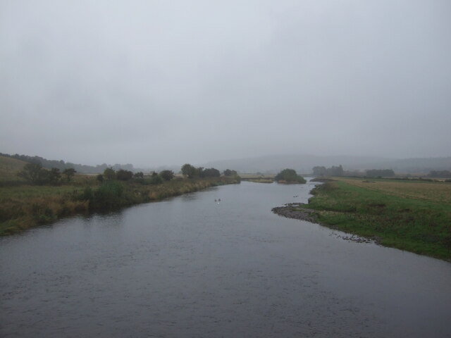
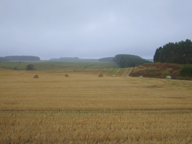
Blackrig Plantation is a sprawling woodland located in Roxburghshire, a county in the southern part of Scotland. Covering an extensive area, the plantation is renowned for its picturesque beauty and diverse flora and fauna. It is situated near the village of Eddleston, just a short distance from the Scottish Borders.
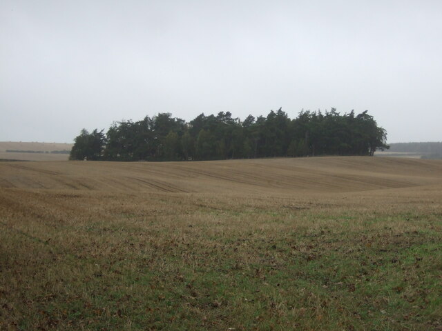
The plantation is predominantly composed of various species of trees, including oak, birch, and pine, which create a dense, enchanting forest setting. The mixture of deciduous and coniferous trees provides a rich tapestry of colors throughout the seasons, with vibrant greens in the spring and summer, and warm hues of red and gold in the autumn.
Blackrig Plantation is a haven for wildlife enthusiasts, as it offers a habitat for a wide range of animals. Visitors can spot numerous species of birds, such as woodpeckers, owls, and finches, as well as small mammals like red squirrels and roe deer. The plantation also boasts a diverse array of plant life, including bluebells, ferns, and mosses, which contribute to the overall charm and tranquility of the area.
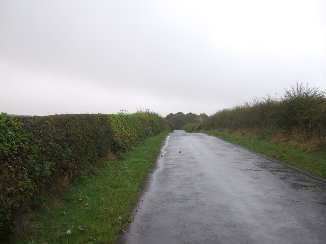
Walking trails wind their way through the plantation, allowing visitors to explore and immerse themselves in the natural beauty of the woodland. These well-maintained paths offer a variety of routes, catering to different levels of fitness and interests. The plantation also provides opportunities for recreational activities like picnicking and photography, making it an ideal destination for families and nature enthusiasts alike.
In conclusion, Blackrig Plantation in Roxburghshire is a captivating woodland retreat that offers a peaceful escape from the hustle and bustle of everyday life. Its stunning scenery, diverse wildlife, and well-marked trails make it a must-visit destination for those seeking a connection with nature.
If you have any feedback on the listing, please let us know in the comments section below.
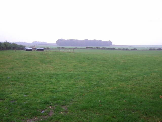
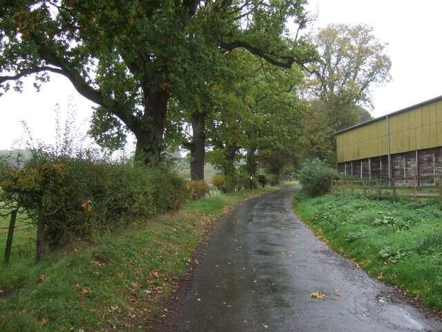
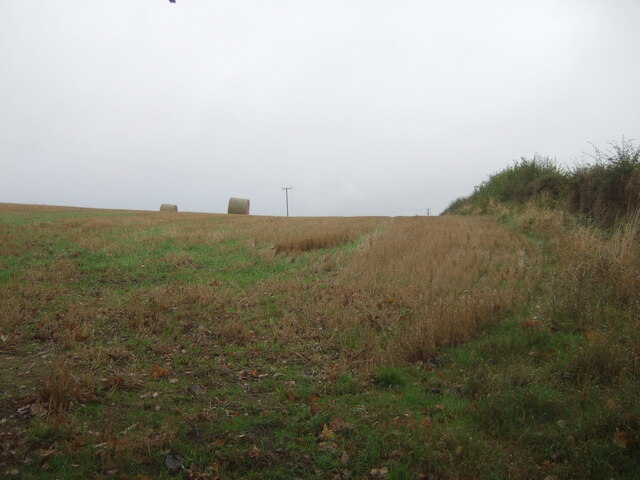
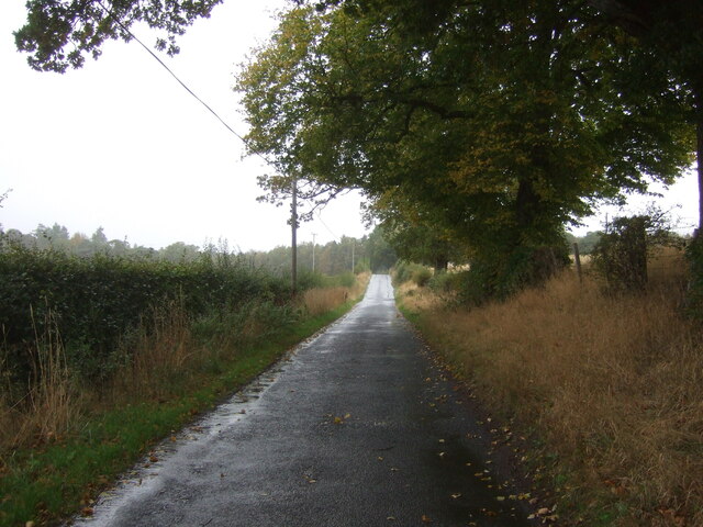
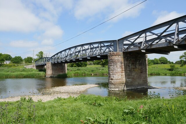
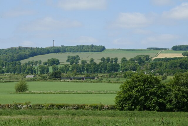
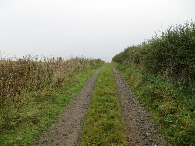
Blackrig Plantation Images
Images are sourced within 2km of 55.536496/-2.5291446 or Grid Reference NT6627. Thanks to Geograph Open Source API. All images are credited.


Blackrig Plantation is located at Grid Ref: NT6627 (Lat: 55.536496, Lng: -2.5291446)
Unitary Authority: The Scottish Borders
Police Authority: The Lothians and Scottish Borders
What 3 Words
///evidently.rubble.necklaces. Near Jedburgh, Scottish Borders
Nearby Locations
Related Wikis

Waterloo Monument
The Waterloo Monument near Ancrum in the Scottish Borders is a 150-foot tower, built between 1817 and 1824 to commemorate the Battle of Waterloo. It was...

Peniel Heugh
Peniel Heugh (237 m) is a hill near Ancrum and Nisbet in the Scottish Borders area of Scotland. On it stands the Waterloo Monument. == Geology == The heugh...

Nisbet railway station
Nisbet railway station served the hamlet of Nisbet, Scottish Borders, Scotland from 1856 to 1948, on the Jedburgh Railway. == History == The station opened...

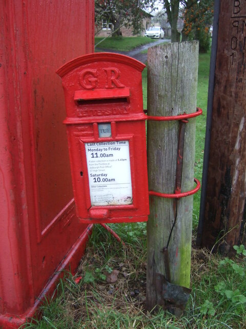
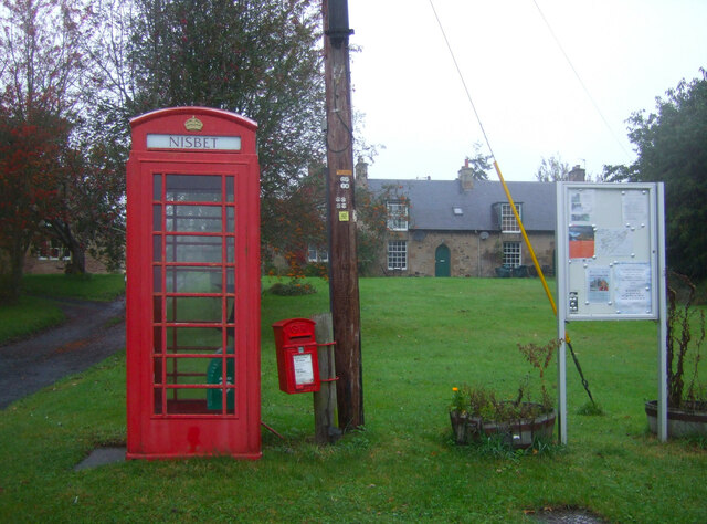
Nisbet, Scottish Borders
Nisbet is a small hamlet on the B6400, in Roxburghshire, along the River Teviot, in the Scottish Borders area of Scotland. It is located 5.5 kilometres...

Jed Water
The Jed Water is a river and a tributary of the River Teviot in the Borders region of Scotland. In total the Jed Water is over 21.75 miles (35.00 km) long...

Monteviot House
Monteviot House is the early 18th century home of the Marquess of Lothian, the politician better known as Michael Ancram. It is located on the River Teviot...

Jedfoot railway station
Jedfoot railway station served the town of Jedburgh, Scottish Borders, Scotland from 1856 to 1948 on the Jedburgh Railway. == History == The station opened...

Kirkbank railway station
Kirkbank railway station served Old Ormiston, in the Scottish Borders, Scotland from 1856 to 1948 on the Jedburgh Railway. == History == The station opened...
Nearby Amenities
Located within 500m of 55.536496,-2.5291446Have you been to Blackrig Plantation?
Leave your review of Blackrig Plantation below (or comments, questions and feedback).