Blackrig Pond
Lake, Pool, Pond, Freshwater Marsh in Roxburghshire
Scotland
Blackrig Pond
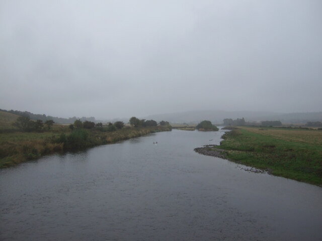
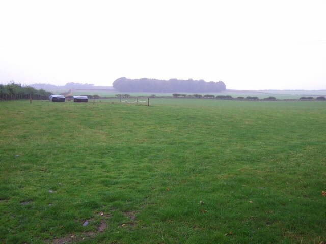
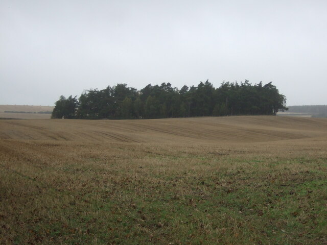
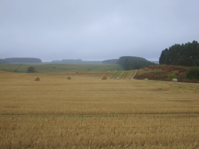
Blackrig Pond is a small freshwater pond situated in Roxburghshire, Scotland. It is nestled within the picturesque landscape of the Scottish Borders, surrounded by rolling hills and lush greenery. The pond covers an area of approximately 0.5 acres and is known for its tranquil atmosphere and natural beauty.
The water of Blackrig Pond is crystal clear and is fed by natural springs and rainfall. It is home to a variety of aquatic plants and wildlife, making it a popular spot for nature enthusiasts and birdwatchers. The pond provides a habitat for a diverse range of species, including ducks, swans, and various types of fish.
Surrounded by a dense growth of reeds and rushes, Blackrig Pond also acts as a freshwater marsh, providing a breeding ground and shelter for numerous amphibians and insects. Its marshy edges are often teeming with life, with frogs, toads, and dragonflies being commonly sighted.
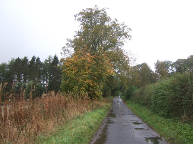
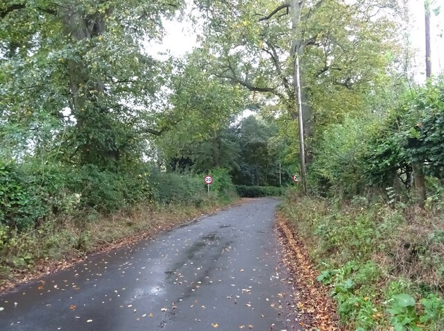
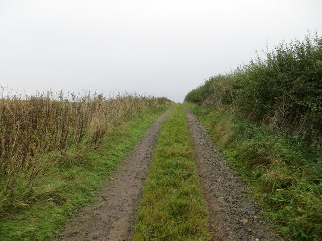
The pond is easily accessible to the public, with a footpath leading to its banks. It offers a peaceful and serene environment for visitors, who can enjoy the scenic views and observe the abundant wildlife. Blackrig Pond is a haven for nature lovers, providing a glimpse into the natural wonders of Roxburghshire and offering a refuge from the hustle and bustle of everyday life.
If you have any feedback on the listing, please let us know in the comments section below.
Blackrig Pond Images
Images are sourced within 2km of 55.537493/-2.5293164 or Grid Reference NT6627. Thanks to Geograph Open Source API. All images are credited.


Blackrig Pond is located at Grid Ref: NT6627 (Lat: 55.537493, Lng: -2.5293164)
Unitary Authority: The Scottish Borders
Police Authority: The Lothians and Scottish Borders
What 3 Words
///threading.score.slows. Near Jedburgh, Scottish Borders
Nearby Locations
Related Wikis

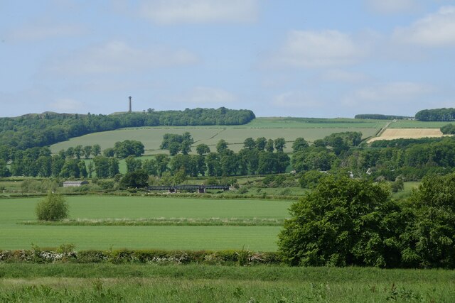
Waterloo Monument
The Waterloo Monument near Ancrum in the Scottish Borders is a 150-foot tower, built between 1817 and 1824 to commemorate the Battle of Waterloo. It was...

Peniel Heugh
Peniel Heugh (; 237 m) is a hill near Ancrum and Nisbet in the Scottish Borders area of Scotland. On it stands the Waterloo Monument. == Geology == The...

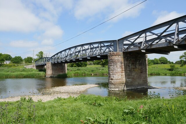
Nisbet railway station
Nisbet railway station served the hamlet of Nisbet, Scottish Borders, Scotland from 1856 to 1948, on the Jedburgh Railway. == History == The station opened...

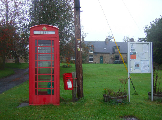
Nisbet, Scottish Borders
Nisbet is a small hamlet on the B6400, in Roxburghshire, along the River Teviot, in the Scottish Borders area of Scotland. It is located 5.5 kilometres...
Nearby Amenities
Located within 500m of 55.537493,-2.5293164Have you been to Blackrig Pond?
Leave your review of Blackrig Pond below (or comments, questions and feedback).