Currie's Clump
Wood, Forest in Roxburghshire
Scotland
Currie's Clump
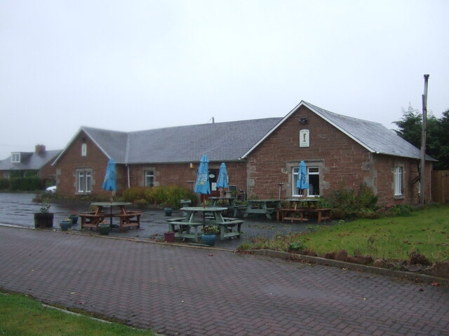
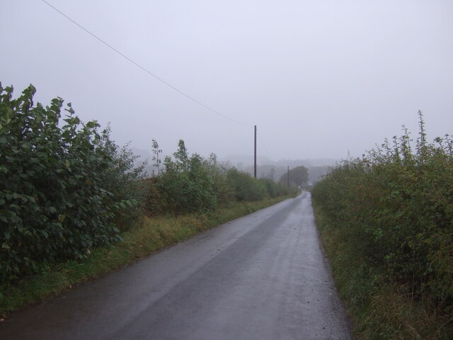
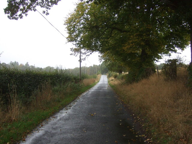
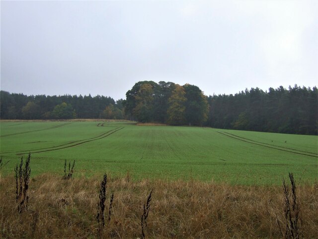
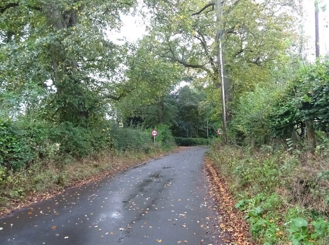
Currie's Clump is a stunning woodland located in Roxburghshire, Scotland. This enchanting forest covers an area of approximately 30 hectares and is situated near the village of Ancrum. The Clump is renowned for its beauty, offering visitors a tranquil and picturesque escape from the hustle and bustle of daily life.
The woodland is predominantly composed of native tree species, including oak, birch, and beech, creating a diverse and vibrant ecosystem. The towering trees form a dense canopy that provides shade and shelter for a variety of wildlife, such as red squirrels, roe deer, and a multitude of bird species. The forest floor is adorned with a carpet of wildflowers and ferns, adding to the area's natural charm.
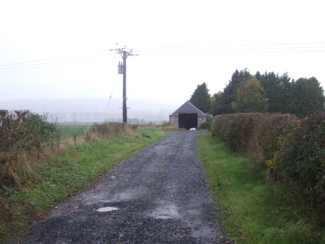
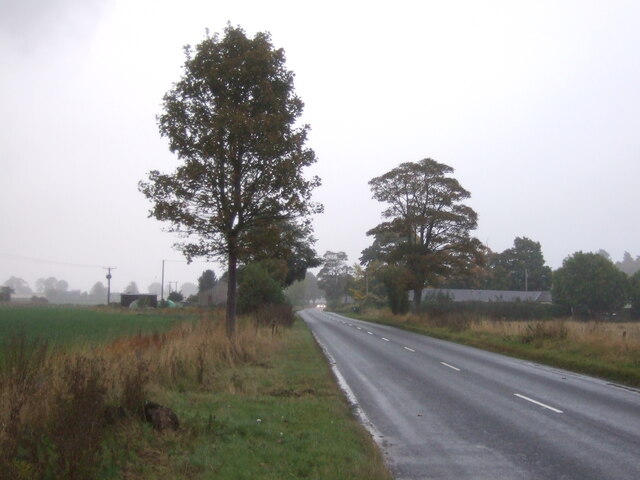
Currie's Clump is crisscrossed by a network of well-maintained trails, allowing visitors to explore the woodland at their own pace. These paths meander through ancient groves, alongside babbling brooks, and up gentle inclines, providing breathtaking views of the surrounding countryside. The Clump is a popular destination for walkers, joggers, and nature enthusiasts who appreciate the tranquility and beauty of the natural world.
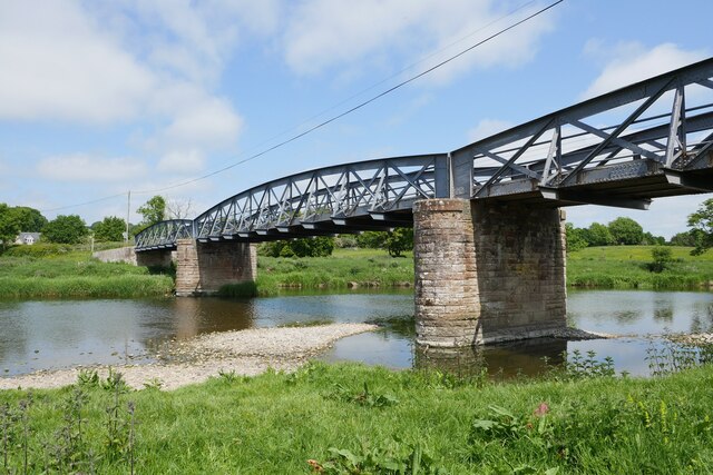
The woodland also holds historical significance, as it was once part of the Currie estate, owned by the Currie family for several generations. Remnants of the estate, including a small stone bridge and old boundary walls, can still be seen within the woodland, adding a touch of nostalgia to the experience.
Overall, Currie's Clump is a captivating woodland in Roxburghshire, offering visitors a chance to immerse themselves in nature's splendor and discover the rich biodiversity and history of the area.
If you have any feedback on the listing, please let us know in the comments section below.
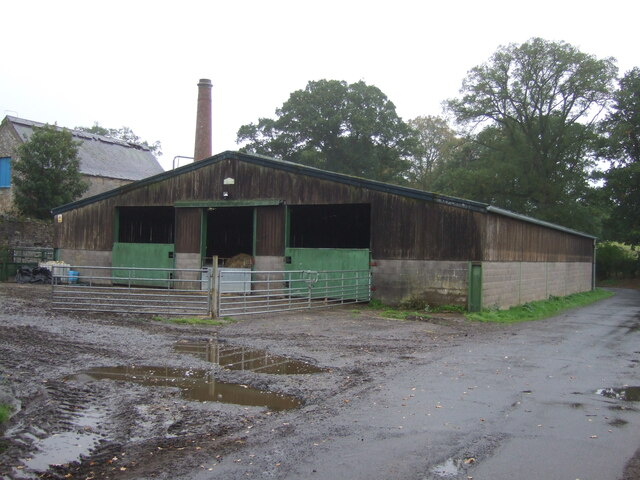
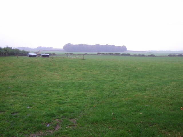
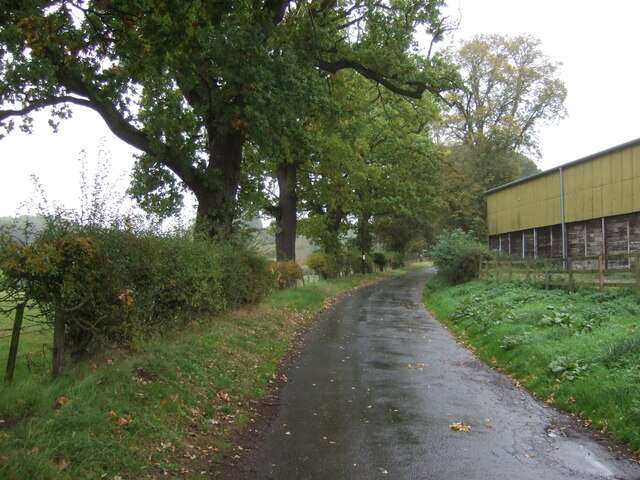
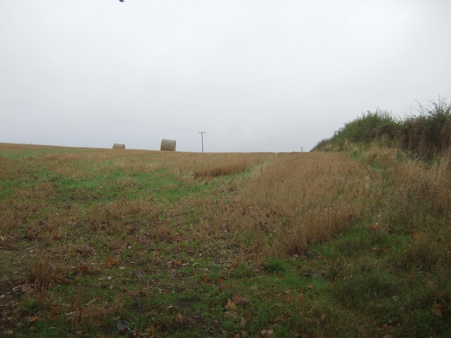
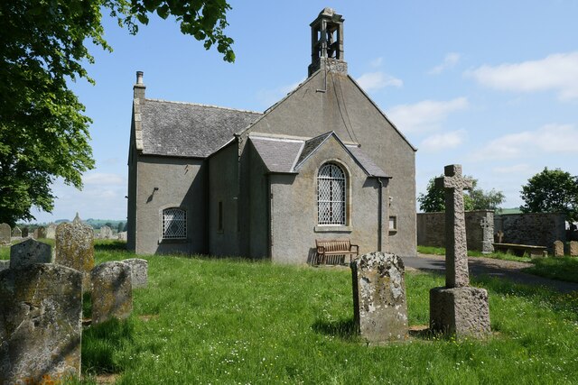
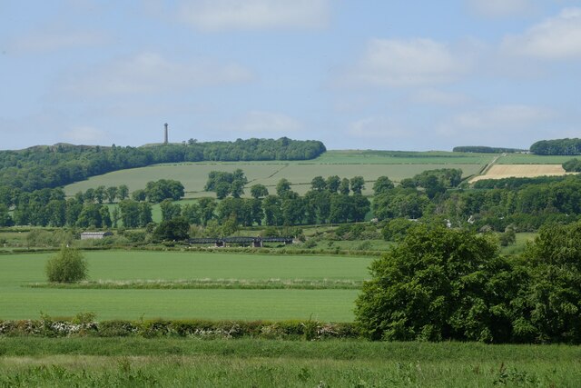
Currie's Clump Images
Images are sourced within 2km of 55.527286/-2.5291476 or Grid Reference NT6626. Thanks to Geograph Open Source API. All images are credited.
Currie's Clump is located at Grid Ref: NT6626 (Lat: 55.527286, Lng: -2.5291476)
Unitary Authority: The Scottish Borders
Police Authority: The Lothians and Scottish Borders
What 3 Words
///intrigues.prep.ramp. Near Jedburgh, Scottish Borders
Nearby Locations
Related Wikis

Nisbet railway station
Nisbet railway station served the hamlet of Nisbet, Scottish Borders, Scotland from 1856 to 1948, on the Jedburgh Railway. == History == The station opened...

Waterloo Monument
The Waterloo Monument near Ancrum in the Scottish Borders is a 150-foot tower, built between 1817 and 1824 to commemorate the Battle of Waterloo. It was...

Peniel Heugh
Peniel Heugh (237 m) is a hill near Ancrum and Nisbet in the Scottish Borders area of Scotland. On it stands the Waterloo Monument. == Geology == The heugh...

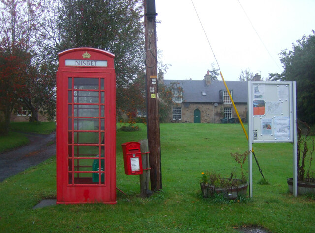
Nisbet, Scottish Borders
Nisbet is a small hamlet on the B6400, in Roxburghshire, along the River Teviot, in the Scottish Borders area of Scotland. It is located 5.5 kilometres...

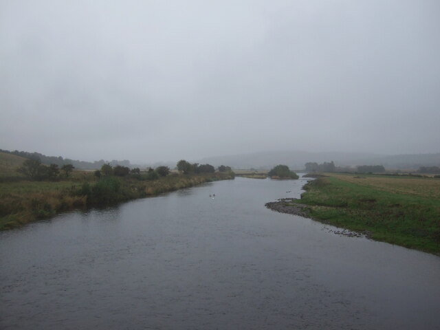
Jed Water
The Jed Water is a river and a tributary of the River Teviot in the Borders region of Scotland. In total the Jed Water is over 21.75 miles (35.00 km) long...

Jedfoot railway station
Jedfoot railway station served the town of Jedburgh, Scottish Borders, Scotland from 1856 to 1948 on the Jedburgh Railway. == History == The station opened...

Monteviot House
Monteviot House is the early 18th century home of the Marquess of Lothian, the politician better known as Michael Ancram. It is located on the River Teviot...

Bonjedward
Bonjedward (Scottish Gaelic: Bun Jedward) is a hamlet in the Scottish Borders area of Scotland, two miles north of Jedburgh where the Jed Water joins the...
Nearby Amenities
Located within 500m of 55.527286,-2.5291476Have you been to Currie's Clump?
Leave your review of Currie's Clump below (or comments, questions and feedback).