Undercleuch Plantation
Wood, Forest in Roxburghshire
Scotland
Undercleuch Plantation
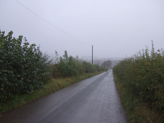
Undercleuch Plantation is a sprawling woodland located in Roxburghshire, Scotland. Covering an expansive area, it is primarily known for its dense forest and diverse range of plant and animal species. The plantation is nestled amidst rolling hills, offering breathtaking views of the surrounding landscape.
The woodland is predominantly made up of coniferous trees, including Scots pine, Sitka spruce, and Douglas fir. These towering trees create a dense canopy that provides a habitat for numerous bird species, such as the crossbill and the goldeneye. Additionally, the woodland supports a thriving population of small mammals, including red squirrels and roe deer.
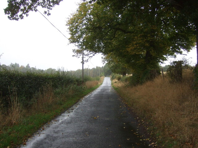
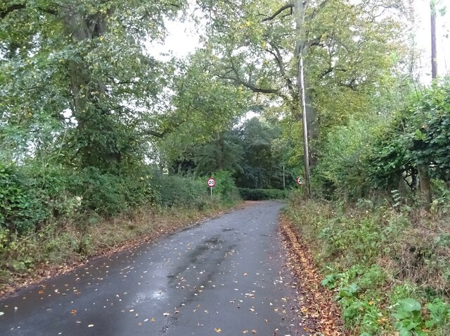
Undercleuch Plantation is a popular destination for nature lovers and outdoor enthusiasts. It features a network of well-maintained walking trails that wind through the forest, allowing visitors to explore its natural beauty. These trails offer a range of difficulty levels, catering to both casual walkers and more experienced hikers.
The plantation is also home to a variety of flora, with wildflowers such as bluebells and primroses carpeting the forest floor during spring. The diverse ecosystem of Undercleuch Plantation makes it an important site for conservation efforts, as it supports endangered plant species and provides a sanctuary for wildlife.
In addition to its natural beauty, Undercleuch Plantation holds historical significance. The woodland was once part of a larger estate and has witnessed centuries of human activity. Remnants of old boundary walls and structures can still be spotted, serving as a reminder of the area's rich heritage.
Overall, Undercleuch Plantation is a captivating destination that offers a tranquil escape into nature, combining scenic beauty, biodiversity, and historical charm.
If you have any feedback on the listing, please let us know in the comments section below.
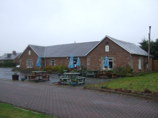
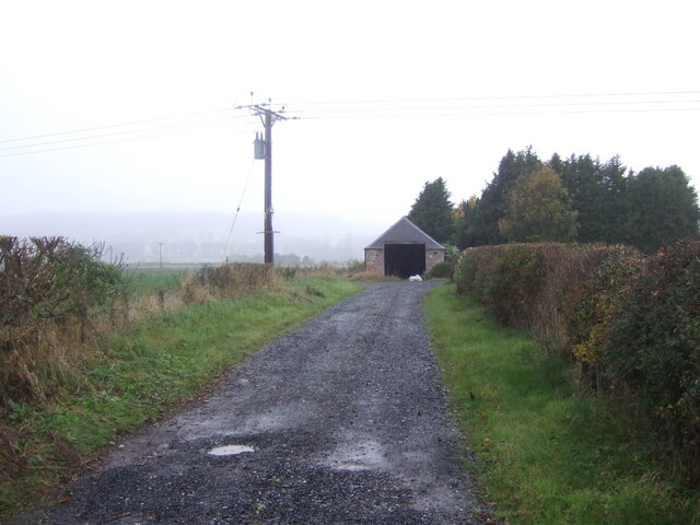
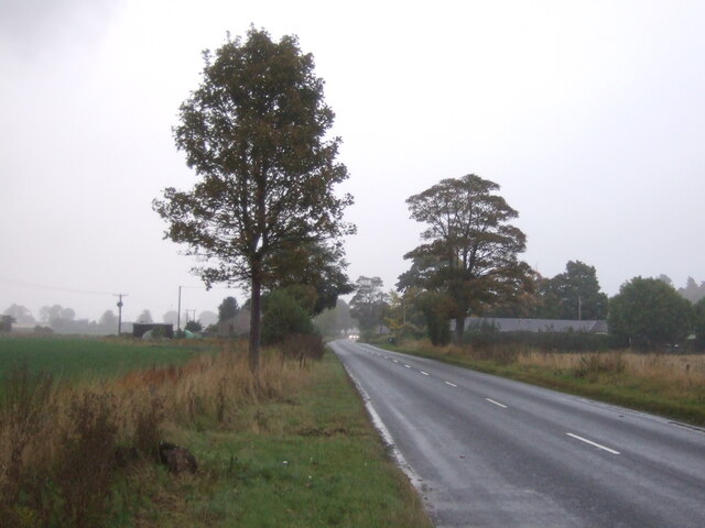
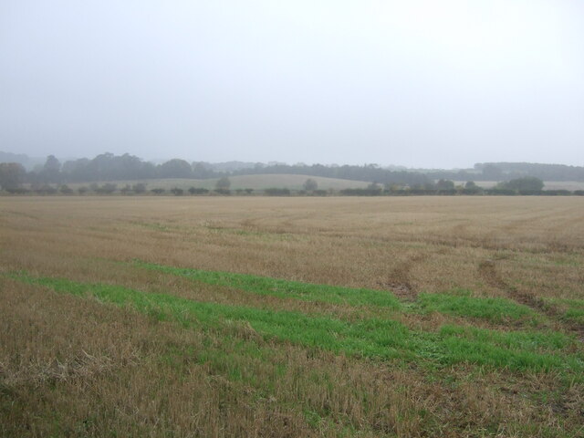
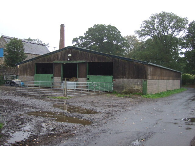
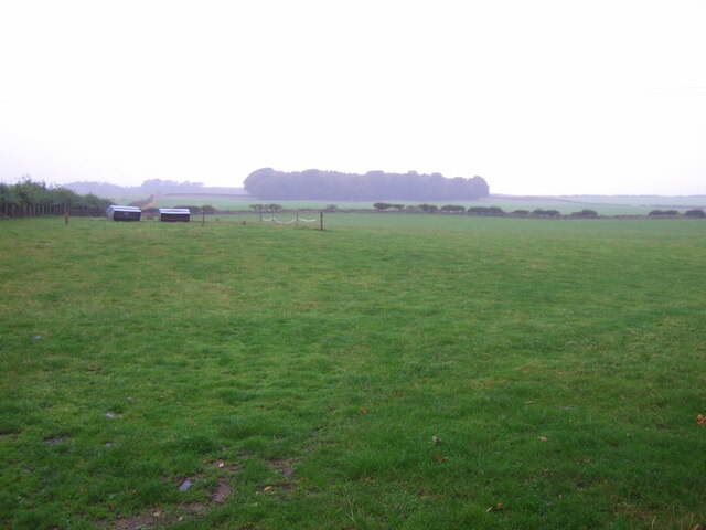
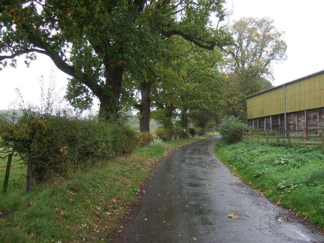
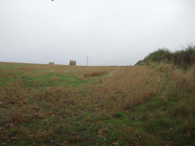
Undercleuch Plantation Images
Images are sourced within 2km of 55.526978/-2.5255159 or Grid Reference NT6626. Thanks to Geograph Open Source API. All images are credited.


Undercleuch Plantation is located at Grid Ref: NT6626 (Lat: 55.526978, Lng: -2.5255159)
Unitary Authority: The Scottish Borders
Police Authority: The Lothians and Scottish Borders
What 3 Words
///seemingly.asteroid.chucked. Near Jedburgh, Scottish Borders
Nearby Locations
Related Wikis

Nisbet railway station
Nisbet railway station served the hamlet of Nisbet, Scottish Borders, Scotland from 1856 to 1948, on the Jedburgh Railway. == History == The station opened...

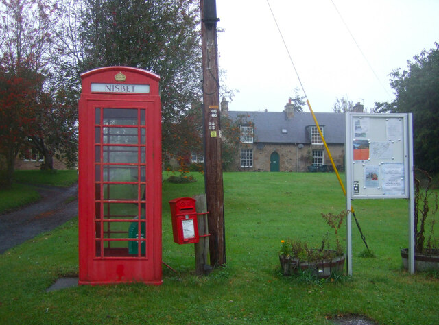
Nisbet, Scottish Borders
Nisbet is a small hamlet on the B6400, in Roxburghshire, along the River Teviot, in the Scottish Borders area of Scotland. It is located 5.5 kilometres...

Waterloo Monument
The Waterloo Monument near Ancrum in the Scottish Borders is a 150-foot tower, built between 1817 and 1824 to commemorate the Battle of Waterloo. It was...

Peniel Heugh
Peniel Heugh (237 m) is a hill near Ancrum and Nisbet in the Scottish Borders area of Scotland. On it stands the Waterloo Monument. == Geology == The heugh...

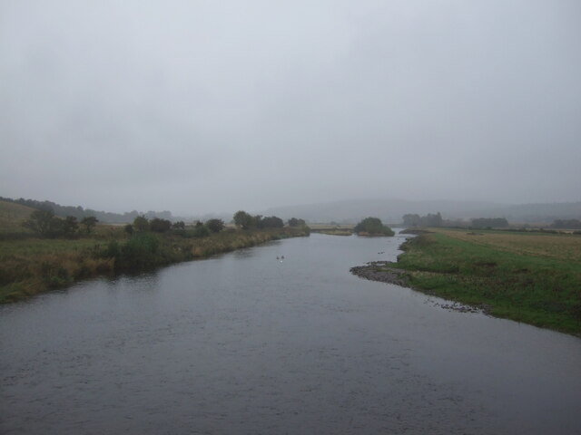
Jed Water
The Jed Water is a river and a tributary of the River Teviot in the Borders region of Scotland. In total the Jed Water is over 21.75 miles (35.00 km) long...

Jedfoot railway station
Jedfoot railway station served the town of Jedburgh, Scottish Borders, Scotland from 1856 to 1948 on the Jedburgh Railway. == History == The station opened...

Monteviot House
Monteviot House is the early 18th century home of the Marquess of Lothian, the politician better known as Michael Ancram. It is located on the River Teviot...

Bonjedward
Bonjedward (Scottish Gaelic: Bun Jedward) is a hamlet in the Scottish Borders area of Scotland, two miles north of Jedburgh where the Jed Water joins the...
Nearby Amenities
Located within 500m of 55.526978,-2.5255159Have you been to Undercleuch Plantation?
Leave your review of Undercleuch Plantation below (or comments, questions and feedback).