Christmas Wood

Wood, Forest in Berwickshire

Scotland

Christmas Wood

'Tattie' field north of Macks Mill
'Tattie' field north of Macks Mill Credit: ian shiell

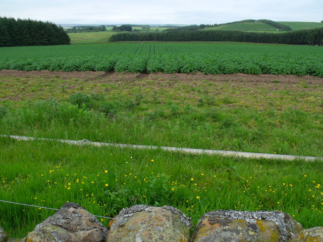
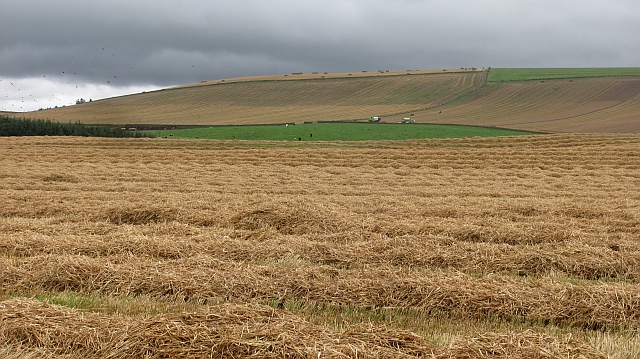
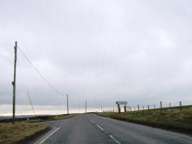
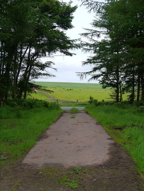
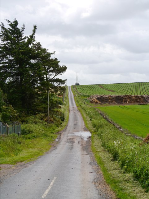
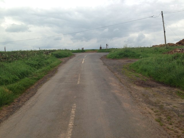
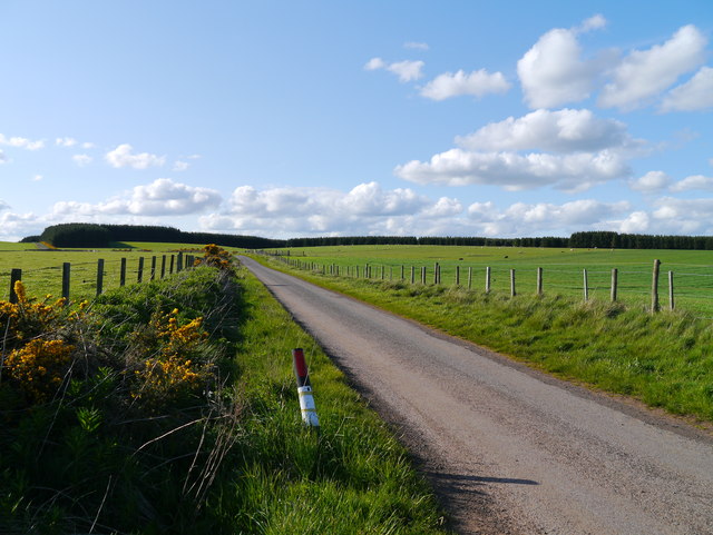
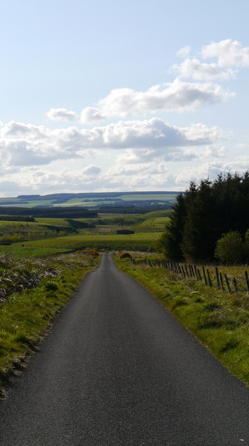
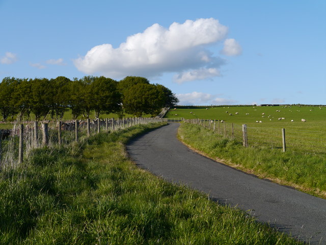
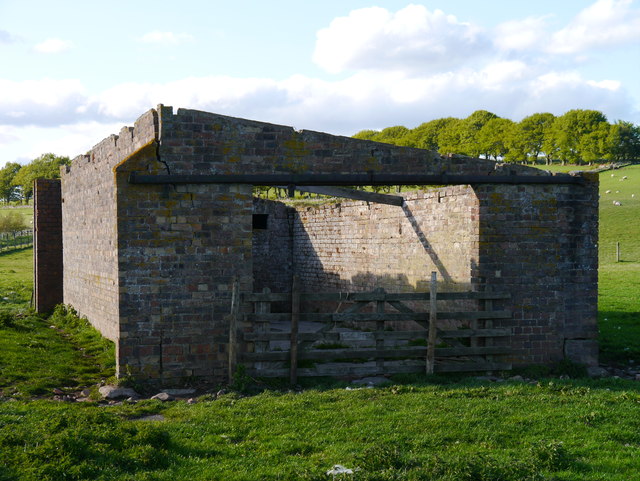
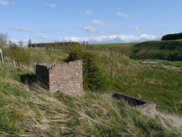
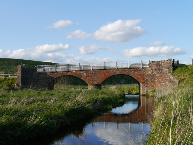
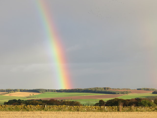
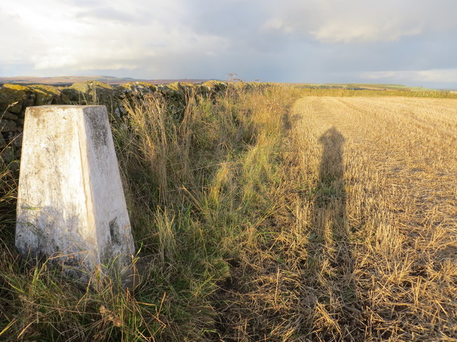
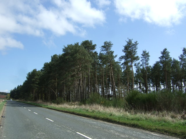
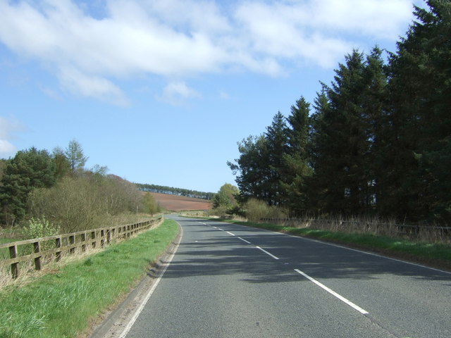
Christmas Wood is a charming forest located in Berwickshire, Scotland. Covering an area of approximately 100 acres, this wood is known for its picturesque scenery and tranquil atmosphere. The wood is predominantly made up of a mix of native deciduous and coniferous trees, creating a diverse and vibrant ecosystem.

During the winter months, Christmas Wood transforms into a magical wonderland with snow-covered trees and a peaceful ambiance that evokes a sense of holiday spirit. Visitors can enjoy leisurely walks along the well-maintained paths, taking in the beauty of the surrounding nature and listening to the soothing sounds of birds chirping and leaves rustling in the wind.

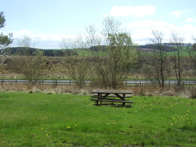
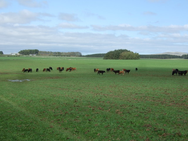
Christmas Wood is a popular destination for nature lovers, hikers, and families looking to escape the hustle and bustle of city life. The wood offers a variety of flora and fauna, making it a haven for wildlife enthusiasts and photographers alike. Whether you're looking for a peaceful retreat or a scenic spot for a leisurely stroll, Christmas Wood is sure to delight visitors of all ages.

If you have any feedback on the listing, please let us know in the comments section below.

Christmas Wood Images

Images are sourced within 2km of 55.717825/-2.5281085 or Grid Reference NT6647. Thanks to Geograph Open Source API. All images are credited.

'Tattie' field north of Macks Mill
Rumbleton Law Harvest time on Rumbleton Law, a hill that is usually under cereals.
Rumbleton Law
Harvest time on Rumbleton Law, a hill that is usually under cereals.
A697 westbound
A697 westbound
View Onto The A697 A small access track in a shelterbelt adjacent to Rumbletonrig permitting access to arable and farm storage.
View Onto The A697
A small access track in a shelterbelt adjacent to Rumbletonrig permitting access to arable and farm storage.
Minor Road At Rumbleton Law A minor road leading off the A697 (behind the camera), with the eastern edge of Rumbleton Law to the right of shot.
Minor Road At Rumbleton Law
A minor road leading off the A697 (behind the camera), with the eastern edge of Rumbleton Law to the right of shot.
Road junction near Rumbletonrig
The Road Is Long ...with not so many a winding turn.  The road to Halliburton, above Greenlaw, is deceptively long and takes the visitor through improved pastureland and beside coniferous plantations.
The Road Is Long
...with not so many a winding turn. The road to Halliburton, above Greenlaw, is deceptively long and takes the visitor through improved pastureland and beside coniferous plantations.
A View To The Lammermuirs Heading down a section of Halliburton Road to the crossing over the Blackadder Water.
A View To The Lammermuirs
Heading down a section of Halliburton Road to the crossing over the Blackadder Water.
Approach To A Beech-lined Avenue No doubt helpful in keeping snow off the road in winter to some extent, this Beech-lined approach to Halliburton Farm (off to the left of shot) is in full leaf.
Approach To A Beech-lined Avenue
No doubt helpful in keeping snow off the road in winter to some extent, this Beech-lined approach to Halliburton Farm (off to the left of shot) is in full leaf.
Remains Of A Pumping Station As yet I have been unable to find any information on this building, other than it was present in mapping as far back as 1965.  My theory is that it was a pumping station for water abstracted from the upper reaches of the Blackadder Water, a few hundred metres to the west.  To the right of this building, in the middle of a field, are the remains of a small brick structure.  There are also other structures on the slope overlooking the floodplain of the Blackadder Water, to the west.
Remains Of A Pumping Station
As yet I have been unable to find any information on this building, other than it was present in mapping as far back as 1965. My theory is that it was a pumping station for water abstracted from the upper reaches of the Blackadder Water, a few hundred metres to the west. To the right of this building, in the middle of a field, are the remains of a small brick structure. There are also other structures on the slope overlooking the floodplain of the Blackadder Water, to the west.
Structures Overlooking The Blackadder Water Two small structures adjacent to the presumed remains of a pumping station near Halliburton Farm.  The Blackadder Water floodplain can be noted to the right of the image.
Structures Overlooking The Blackadder Water
Two small structures adjacent to the presumed remains of a pumping station near Halliburton Farm. The Blackadder Water floodplain can be noted to the right of the image.
Sandstone Bridge Over The Blackadder Water A twin-arched sandstone bridge carrying Halliburton Road over the upper reaches of the Blackadder Water.  An inscription between the two arches on this (upstream) side of the bridge notes that the bridge dates from 1869.
Sandstone Bridge Over The Blackadder Water
A twin-arched sandstone bridge carrying Halliburton Road over the upper reaches of the Blackadder Water. An inscription between the two arches on this (upstream) side of the bridge notes that the bridge dates from 1869.
Agricultural view from Rumbleton Law Triangulation Pillar with bonus rainbow Looking south-eastward.
Agricultural view from Rumbleton Law Triangulation Pillar with bonus rainbow
Looking south-eastward.
Wallside view of harvested field at Rumbleton Law Triangulation Pillar Looking north-eastward.
Wallside view of harvested field at Rumbleton Law Triangulation Pillar
Looking north-eastward.
Hexpath picnic area Just off the A697.
Hexpath picnic area
Just off the A697.
Woodland beside the A697
A697, Hexpath Looking east.
A697, Hexpath
Looking east.
Cattle grazing near Hexpathdean Bridge
Show me another place!

Christmas Wood is located at Grid Ref: NT6647 (Lat: 55.717825, Lng: -2.5281085)

Unitary Authority: The Scottish Borders

Police Authority: The Lothians and Scottish Borders

What 3 Words

///humans.plot.turntable. Near Earlston, Scottish Borders

Nearby Locations

Hill Wood Christmas Wood

Related Wikis

Blackcastle Rings

The Blackcastle Rings are earthworks and a promontory fort in the Parish of Greenlaw, above the left bank of the Blackadder Water, in the Scottish Borders...

Greenlaw Moor

Greenlaw Moor is an area of raised heather moorland in the foothills of the Lammermuir Hills, in the Scottish Borders area of Scotland. Located north of...

Houndslow

Houndslow is a hamlet in the Scottish Borders area of Scotland. It is situated on the A697, about 5 miles (8.0 km) west of Greenlaw, and 3 miles (4.8 km...

Berwickshire

Berwickshire (; Scottish Gaelic: Siorrachd Bhearaig) is a historic county, registration county and lieutenancy area in south-eastern Scotland, on the English...

Nearby Amenities

Located within 500m of 55.717825,-2.5281085
The data included in this document is from www.openstreetmap.org. The data is made available under ODbL.

Have you been to Christmas Wood?

Leave your review of Christmas Wood below (or comments, questions and feedback).