Hill Wood

Wood, Forest in Berwickshire

Scotland

Hill Wood

Is this anither yin o' thae Geographers Jessie? Herd of cows in occupation of point 191 seeking the breeze.
Is this anither yin o' thae Geographers Jessie? Credit: ian shiell

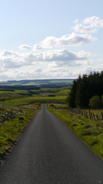
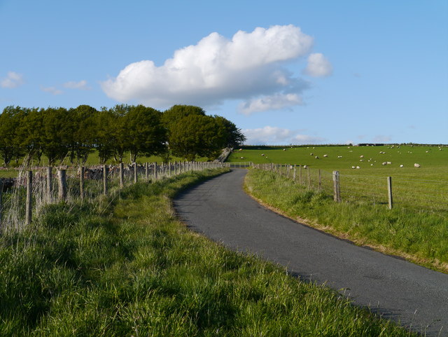
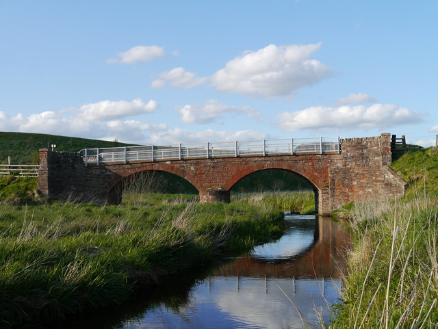
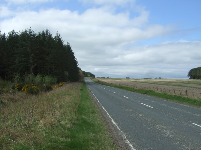
Hill Wood, located in Berwickshire, Scotland, is a picturesque and expansive forest that covers an area of approximately 250 acres. Nestled within the beautiful countryside, it is an idyllic destination for nature lovers, hikers, and those seeking tranquility in the midst of lush greenery.

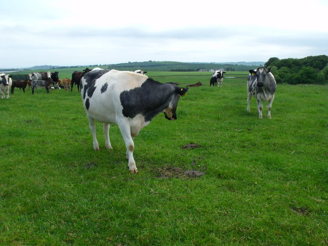
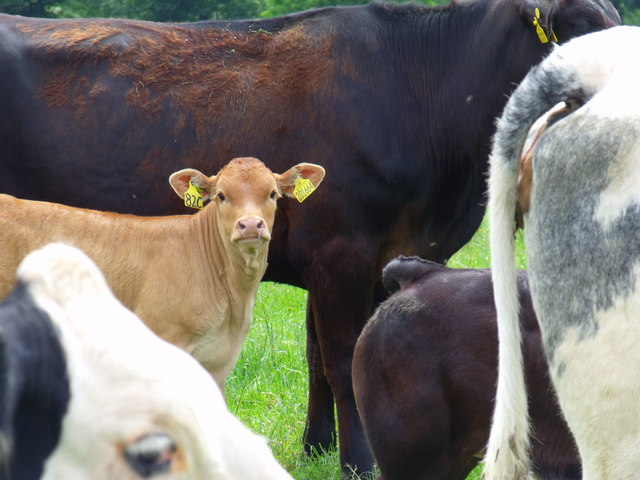
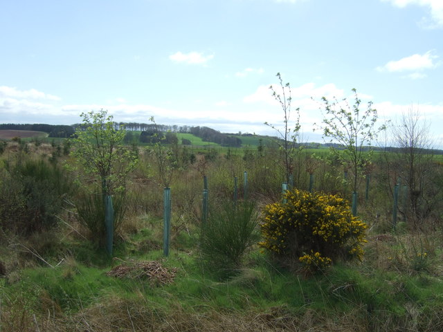
The wood is predominantly composed of native broadleaf trees such as oak, beech, and birch, creating a diverse and vibrant ecosystem. The dense canopy provides a haven for numerous species of birds, insects, and small mammals, making it a fantastic spot for wildlife enthusiasts and birdwatchers.

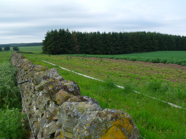
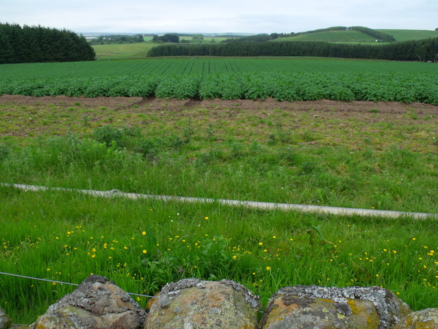
The wood is crisscrossed by a network of well-maintained trails, allowing visitors to explore and discover its hidden treasures. These trails cater to various levels of fitness, with options for leisurely strolls or more strenuous hikes. Along the way, visitors will encounter charming streams, enchanting clearings, and breathtaking viewpoints that offer panoramic vistas of the surrounding landscapes.

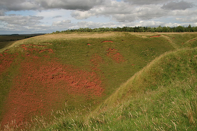
Hill Wood also boasts a rich historical significance. It is believed to have been part of the ancient Caledonian Forest, which once covered vast areas of Scotland thousands of years ago. This adds an element of intrigue and mystery to the wood, as visitors can imagine the stories that lie within its ancient roots.

In conclusion, Hill Wood in Berwickshire is a captivating and enchanting forest that offers a haven of natural beauty and serenity. Its diverse flora and fauna, well-maintained trails, and historical significance make it an ideal destination for those seeking a peaceful retreat in the heart of nature.

If you have any feedback on the listing, please let us know in the comments section below.
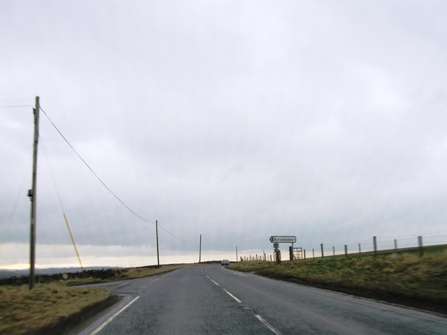
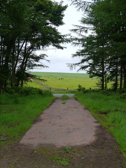
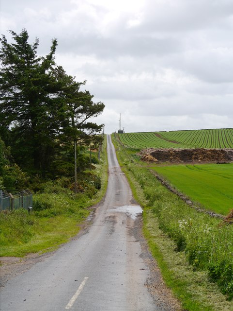
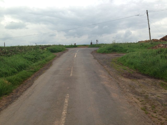
Hill Wood Images

Images are sourced within 2km of 55.719486/-2.5345779 or Grid Reference NT6647. Thanks to Geograph Open Source API. All images are credited.

Is this anither yin o' thae Geographers Jessie? Herd of cows in occupation of point 191 seeking the breeze.
Is this anither yin o' thae Geographers Jessie?
Herd of cows in occupation of point 191 seeking the breeze.
South end of plantation near Shining Pool Notice the irrigation pipe parallel with the dyke - ready for the 'tattie' crop.
South end of plantation near Shining Pool
Notice the irrigation pipe parallel with the dyke - ready for the 'tattie' crop.
'Tattie' field north of Macks Mill
Calf in herd
Calf in herd
A697 westbound
A697 westbound
View Onto The A697 A small access track in a shelterbelt adjacent to Rumbletonrig permitting access to arable and farm storage.
View Onto The A697
A small access track in a shelterbelt adjacent to Rumbletonrig permitting access to arable and farm storage.
Minor Road At Rumbleton Law A minor road leading off the A697 (behind the camera), with the eastern edge of Rumbleton Law to the right of shot.
Minor Road At Rumbleton Law
A minor road leading off the A697 (behind the camera), with the eastern edge of Rumbleton Law to the right of shot.
Road junction near Rumbletonrig
A View To The Lammermuirs Heading down a section of Halliburton Road to the crossing over the Blackadder Water.
A View To The Lammermuirs
Heading down a section of Halliburton Road to the crossing over the Blackadder Water.
Approach To A Beech-lined Avenue No doubt helpful in keeping snow off the road in winter to some extent, this Beech-lined approach to Halliburton Farm (off to the left of shot) is in full leaf.
Approach To A Beech-lined Avenue
No doubt helpful in keeping snow off the road in winter to some extent, this Beech-lined approach to Halliburton Farm (off to the left of shot) is in full leaf.
Remains Of A Pumping Station As yet I have been unable to find any information on this building, other than it was present in mapping as far back as 1965.  My theory is that it was a pumping station for water abstracted from the upper reaches of the Blackadder Water, a few hundred metres to the west.  To the right of this building, in the middle of a field, are the remains of a small brick structure.  There are also other structures on the slope overlooking the floodplain of the Blackadder Water, to the west.
Remains Of A Pumping Station
As yet I have been unable to find any information on this building, other than it was present in mapping as far back as 1965. My theory is that it was a pumping station for water abstracted from the upper reaches of the Blackadder Water, a few hundred metres to the west. To the right of this building, in the middle of a field, are the remains of a small brick structure. There are also other structures on the slope overlooking the floodplain of the Blackadder Water, to the west.
Structures Overlooking The Blackadder Water Two small structures adjacent to the presumed remains of a pumping station near Halliburton Farm.  The Blackadder Water floodplain can be noted to the right of the image.
Structures Overlooking The Blackadder Water
Two small structures adjacent to the presumed remains of a pumping station near Halliburton Farm. The Blackadder Water floodplain can be noted to the right of the image.
Sandstone Bridge Over The Blackadder Water A twin-arched sandstone bridge carrying Halliburton Road over the upper reaches of the Blackadder Water.  An inscription between the two arches on this (upstream) side of the bridge notes that the bridge dates from 1869.
Sandstone Bridge Over The Blackadder Water
A twin-arched sandstone bridge carrying Halliburton Road over the upper reaches of the Blackadder Water. An inscription between the two arches on this (upstream) side of the bridge notes that the bridge dates from 1869.
Agricultural view from Rumbleton Law Triangulation Pillar with bonus rainbow Looking south-eastward.
Agricultural view from Rumbleton Law Triangulation Pillar with bonus rainbow
Looking south-eastward.
Wallside view of harvested field at Rumbleton Law Triangulation Pillar Looking north-eastward.
Wallside view of harvested field at Rumbleton Law Triangulation Pillar
Looking north-eastward.
Track through Houndslow Wood Access to the fields beyond from the A697.
Track through Houndslow Wood
Access to the fields beyond from the A697.
Young woodland south of the A697
A697 towards Lauder Looking north west beside Houndslow Wood.
A697 towards Lauder
Looking north west beside Houndslow Wood.
Show me another place!

Hill Wood is located at Grid Ref: NT6647 (Lat: 55.719486, Lng: -2.5345779)

Unitary Authority: The Scottish Borders

Police Authority: The Lothians and Scottish Borders

What 3 Words

///panicking.prevents.automate. Near Earlston, Scottish Borders

Nearby Locations

Christmas Wood Hill Wood

Related Wikis

Blackcastle Rings

The Blackcastle Rings are earthworks and a promontory fort in the Parish of Greenlaw, above the left bank of the Blackadder Water, in the Scottish Borders...

Greenlaw Moor

Greenlaw Moor is an area of raised heather moorland in the foothills of the Lammermuir Hills, in the Scottish Borders area of Scotland. Located north of...

Houndslow

Houndslow is a hamlet in the Scottish Borders area of Scotland. It is situated on the A697, about 5 miles (8.0 km) west of Greenlaw, and 3 miles (4.8 km...

Bassendean, Scottish Borders

Bassendean is a village in the Scottish Borders area of Scotland, 4 kilometres (2.5 mi) south of Westruther and 3 kilometres (1.9 mi) north-west of Gordon...

Westruther

Westruther is a village on the B6465, in the Scottish Borders area of Scotland, on the lower slopes of the Lammermuir Hills, in the former Berwickshire...

Blackadder Water

Blackadder Water () is a river in Berwickshire in the Scottish Borders area of Scotland, forming part of the River Tweed system. It reached 2.84m at Mouthbridge...

Berwickshire

Berwickshire (; Scottish Gaelic: Siorrachd Bhearaig) is a historic county, registration county and lieutenancy area in south-eastern Scotland, on the English...

Gordon (NBR) railway station

Gordon railway station served the village of Gordon, Scottish Borders, Scotland from 1863 to 1948 on the Berwickshire Railway. == History == The station...

Nearby Amenities

Located within 500m of 55.719486,-2.5345779
Ele: 223
Natural: peak
Lat/Long: 55.7156001/-2.5381992
Power: pole
Lat/Long: 55.7211696/-2.5418676
Power: pole
Lat/Long: 55.7205081/-2.5413363
Power: pole
Lat/Long: 55.7197736/-2.5407491
Power: pole
Lat/Long: 55.7190935/-2.5401898
Power: pole
Lat/Long: 55.7184033/-2.5396483
Power: pole
Lat/Long: 55.7177275/-2.5390992
Power: pole
Lat/Long: 55.7170473/-2.5385527
Power: pole
Lat/Long: 55.7164129/-2.5384459
Power: pole
Lat/Long: 55.7157857/-2.5383163
The data included in this document is from www.openstreetmap.org. The data is made available under ODbL.

Have you been to Hill Wood?

Leave your review of Hill Wood below (or comments, questions and feedback).