Towerburn Wood

Wood, Forest in Roxburghshire

Scotland

Towerburn Wood

Footpath  coming  out  of  Natural  Wood  onto  farmland The footpath then becomes a track to fields. Looking toward Hunthill Farm
Footpath coming out of Natural Wood onto farmland Credit: Martin Dawes

Towerburn Wood is a pristine forest located in the region of Roxburghshire, Scotland. Spanning over an area of approximately 500 hectares, this captivating woodland is characterized by its rich biodiversity and stunning natural beauty.

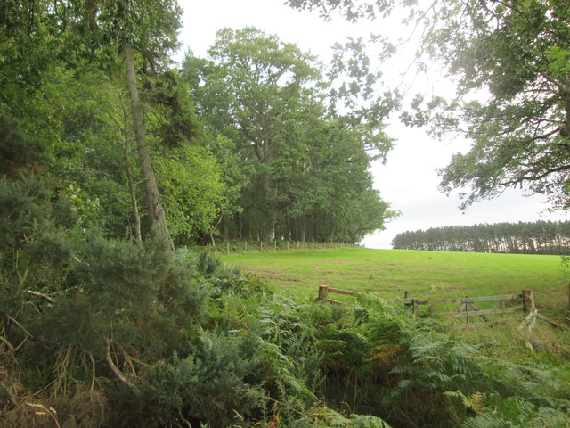
The wood is predominantly composed of native broadleaf species, such as oak, birch, and ash, which create a diverse and vibrant ecosystem. Towerburn Wood is known for its well-preserved ancient oak trees, some of which are believed to be hundreds of years old, adding a sense of grandeur to the landscape.

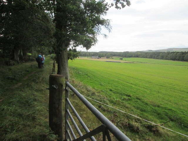
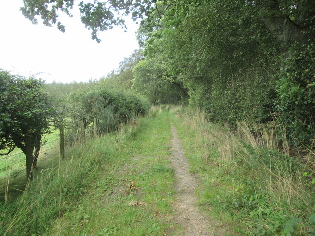
The forest is crisscrossed with a network of well-maintained trails, making it easily accessible for visitors to explore and enjoy its wonders. These trails lead visitors through enchanting glades, alongside babbling streams, and offer breathtaking views of the surrounding countryside.

Towerburn Wood is home to a wide array of wildlife species, including red squirrels, roe deer, and a variety of bird species. The forest provides a crucial habitat for these creatures, offering them shelter, food, and protection.

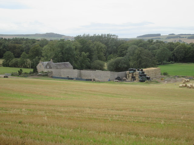
The wood also holds historical significance, with remnants of ancient settlements and defensive structures scattered throughout the area. Towerburn, a medieval tower house that once stood proudly in the forest, lends its name to the woodland.

Towerburn Wood is a true gem of Roxburghshire, attracting nature enthusiasts, hikers, and photographers alike. Its pristine environment and natural charm make it a perfect destination for those seeking tranquility and a deep connection with nature.

If you have any feedback on the listing, please let us know in the comments section below.

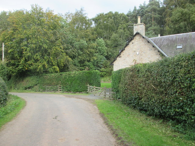
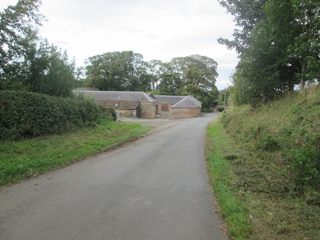
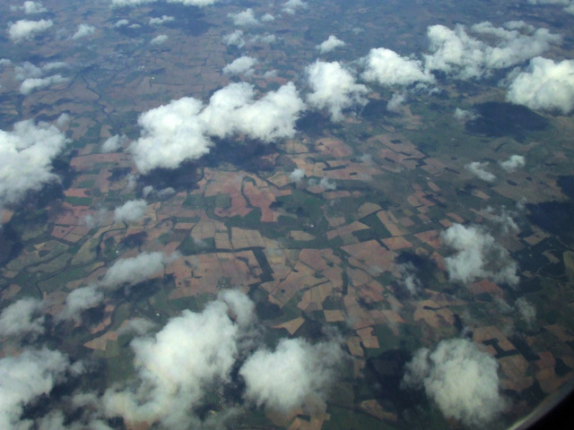
Towerburn Wood Images

Images are sourced within 2km of 55.483498/-2.5314877 or Grid Reference NT6621. Thanks to Geograph Open Source API. All images are credited.

Footpath  coming  out  of  Natural  Wood  onto  farmland The footpath then becomes a track to fields. Looking toward Hunthill Farm
Footpath coming out of Natural Wood onto farmland
The footpath then becomes a track to fields. Looking toward Hunthill Farm
Field  and  edge  of  Natural  Wood
Field and edge of Natural Wood
Footpath  back  into  Natural  Wood
Footpath back into Natural Wood
Over  field  to  Hunthill  Farm From track from Natural Wood
Over field to Hunthill Farm
From track from Natural Wood
Lane  and  Coach  House The footpath from Hunthill through the woods comes out on to the lane here
Lane and Coach House
The footpath from Hunthill through the woods comes out on to the lane here
Howden  Farm  buildings  alongside  road
Howden Farm buildings alongside road
Indian Mutiny Memorial near Jedburgh A memorial fountain or well by the A68 south of the town. Two local families lost relatives in the Indian Mutiny uprising in 1857, resulting in this memorial fountain by the roadside, dated 1857. The panel is inscribed 

To the women and children who suffered in India during the Sepoy mutiny.

The fountain is known locally as the 'Dribbly Well'. (From the information panel on the west side of the road).
Indian Mutiny Memorial near Jedburgh
A memorial fountain or well by the A68 south of the town. Two local families lost relatives in the Indian Mutiny uprising in 1857, resulting in this memorial fountain by the roadside, dated 1857. The panel is inscribed To the women and children who suffered in India during the Sepoy mutiny. The fountain is known locally as the 'Dribbly Well'. (From the information panel on the west side of the road).
Bridge at Allar's Mill, Jedburgh A bridge over the Jed Water giving access to the old mill buildings now used as a storage depot.
Bridge at Allar's Mill, Jedburgh
A bridge over the Jed Water giving access to the old mill buildings now used as a storage depot.
Stripwood, Howden A long strip between Howden and Hunthill. A track runs down this one.
Stripwood, Howden
A long strip between Howden and Hunthill. A track runs down this one.
On the road near Howden farm The country lane to Scraesburgh on the E side of Jedburgh on a November morning.
On the road near Howden farm
The country lane to Scraesburgh on the E side of Jedburgh on a November morning.
Woodland path, Howden The path goes to the drive at Hunthill and is part of the Jedburgh East Circular walk.
Woodland path, Howden
The path goes to the drive at Hunthill and is part of the Jedburgh East Circular walk.
Path below Hunthill The path here crosses the Howden Burn which is little more than a field drain at this point, but increases in size as it flows round NE to turn SW and eventually join the Jed Water.
Path below Hunthill
The path here crosses the Howden Burn which is little more than a field drain at this point, but increases in size as it flows round NE to turn SW and eventually join the Jed Water.
Hunthill Farm Often farms in Scotland are known just by their name without 'Farm' being added, but in this case the word is included, since Hunthill (the estate house) is nearby.
Hunthill Farm
Often farms in Scotland are known just by their name without 'Farm' being added, but in this case the word is included, since Hunthill (the estate house) is nearby.
Lion gatepost, Hunthill One of two stone lions rampant surmounting gateposts on the drive to Hunthill.  Each is holding a shield bearing arms - this is the one on the E side.
Lion gatepost, Hunthill
One of two stone lions rampant surmounting gateposts on the drive to Hunthill. Each is holding a shield bearing arms - this is the one on the E side.
Lion gatepost, Hunthill (2) One of two stone lions rampant surmounting gateposts on the drive to Hunthill.  Each is holding a shield bearing arms - this is the one on the W side.
Lion gatepost, Hunthill (2)
One of two stone lions rampant surmounting gateposts on the drive to Hunthill. Each is holding a shield bearing arms - this is the one on the W side.
Track in Natural Wood Natural Wood lies between Hunthill and Over Thickside Farm in an area of woodlands and strip woods amongst the arable fields and pastures. The track is on the route of the Jedburgh East Circular walk and gave quite soft going in places on the wet ground.
Track in Natural Wood
Natural Wood lies between Hunthill and Over Thickside Farm in an area of woodlands and strip woods amongst the arable fields and pastures. The track is on the route of the Jedburgh East Circular walk and gave quite soft going in places on the wet ground.
Dere Street from the air Jedburgh is obscured by cloud at the bottom of the photo. The Roman Road Dere Street can be seen running almost horizontally just below the centre of the photo which was taken from a Prague bound flight from Edinburgh.
Dere Street from the air
Jedburgh is obscured by cloud at the bottom of the photo. The Roman Road Dere Street can be seen running almost horizontally just below the centre of the photo which was taken from a Prague bound flight from Edinburgh.
Houses on Castle Gate, Jedburgh
Show me another place!

Towerburn Wood is located at Grid Ref: NT6621 (Lat: 55.483498, Lng: -2.5314877)

Unitary Authority: The Scottish Borders

Police Authority: The Lothians and Scottish Borders

What 3 Words

///react.caskets.describes. Near Jedburgh, Scottish Borders

Related Wikis

Hartrigge House

Hartrigge House or Stewartfield House was a country house in Jedburgh in the Scottish Borders. Its first owner was in 1614 and it was rebuilt in 1854....

Jedburgh railway station

Jedburgh railway station served the town of Jedburgh, Scottish Borders, Scotland from 1856 to 1964 on the Jedburgh Railway. == History == The station opened...

Jedburgh

Jedburgh (; Scottish Gaelic: Deadard; Scots: Jeddart or Jethart) is a town and former royal burgh in the Scottish Borders and the traditional county town...

Canongate Bridge

The Canongate Bridge is a pedestrian bridge in the Scottish Borders town of Jedburgh. It was built as the town's main bridge over the Jed Water in the...

Nearby Amenities

Located within 500m of 55.483498,-2.5314877
Hartrigge
Place: hamlet
Lat/Long: 55.4839426/-2.5384142
Oldhall
Place: hamlet
Lat/Long: 55.4859471/-2.5341201
Noexit: yes
Lat/Long: 55.4829828/-2.5386056
Noexit: yes
Lat/Long: 55.4836984/-2.5360179
Noexit: yes
Lat/Long: 55.4837689/-2.5379211
Barrier: stile
Lat/Long: 55.4850276/-2.5355644
Power: pole
Lat/Long: 55.4859364/-2.5370348
Power: pole
Lat/Long: 55.4857788/-2.5365996
Power: pole
Lat/Long: 55.4852726/-2.5352194
Power: pole
Lat/Long: 55.4845241/-2.5352812
Power: pole
Lat/Long: 55.4838179/-2.5353533
Power: pole
Lat/Long: 55.4828622/-2.5336822
Power: pole
Lat/Long: 55.4822931/-2.5326882
Power: pole
Lat/Long: 55.4817416/-2.5317355
Power: pole
Lat/Long: 55.4811783/-2.5307647
Power: pole
Lat/Long: 55.4879388/-2.5319376
Power: pole
Lat/Long: 55.4873961/-2.5324243
Power: pole
Lat/Long: 55.486865/-2.5328904
Power: pole
Lat/Long: 55.4863471/-2.5333693
Power: pole
Lat/Long: 55.4859488/-2.5338122
Power: pole
Lat/Long: 55.4858613/-2.5340053
Power: pole
Lat/Long: 55.4855636/-2.534613
The data included in this document is from www.openstreetmap.org. The data is made available under ODbL.

Have you been to Towerburn Wood?

Leave your review of Towerburn Wood below (or comments, questions and feedback).