Willieswell Plantation
Wood, Forest in Berwickshire
Scotland
Willieswell Plantation
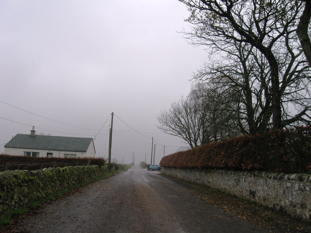
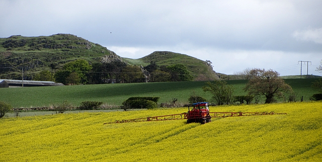
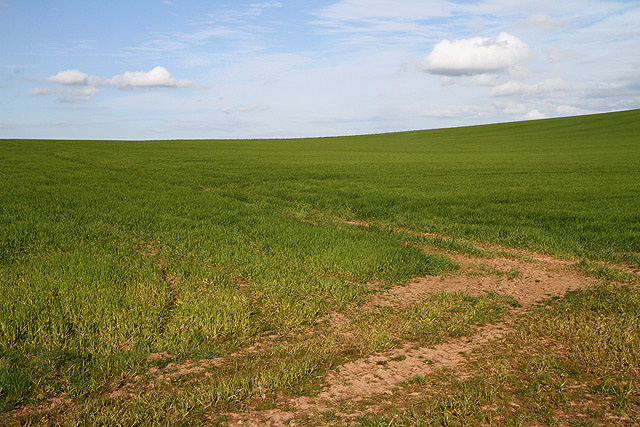
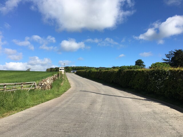
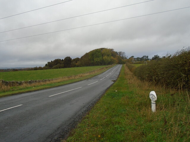
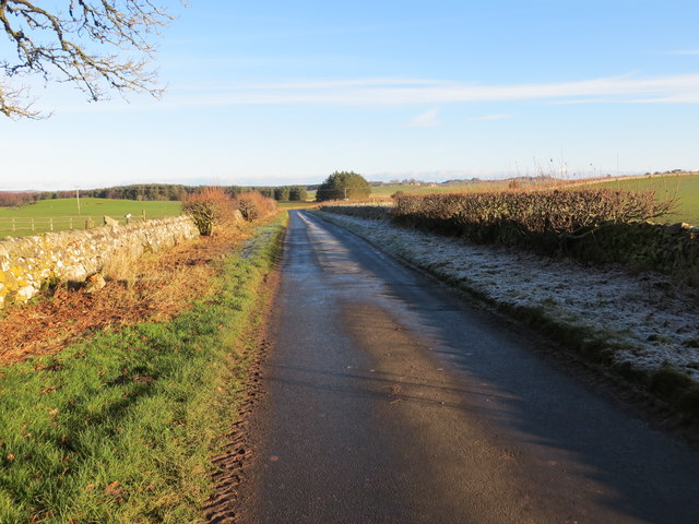
Willieswell Plantation is a large woodland area located in Berwickshire, Scotland. Covering approximately 200 acres, this plantation is a mix of both native and exotic tree species, creating a diverse and picturesque landscape.
The woodland is a popular destination for nature lovers and outdoor enthusiasts, offering a network of walking trails that wind through the trees and provide opportunities for wildlife spotting. Visitors may come across a variety of bird species, including woodpeckers, owls, and red kites, as well as mammals such as red squirrels and deer.
The plantation is well-maintained and managed by the local forestry commission, ensuring the health and sustainability of the trees and surrounding ecosystem. In addition to its natural beauty, Willieswell Plantation also serves as an important resource for the local community, providing timber for construction and fuel.
Overall, Willieswell Plantation is a tranquil and scenic woodland area that offers a peaceful retreat for those looking to escape the hustle and bustle of everyday life and immerse themselves in the beauty of nature.
If you have any feedback on the listing, please let us know in the comments section below.
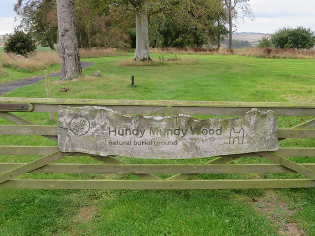
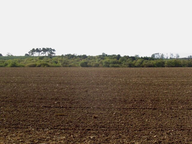
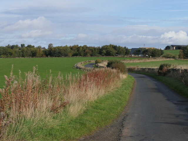
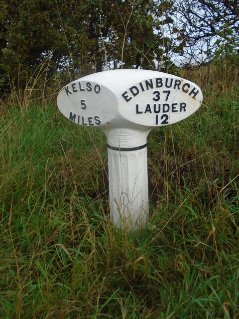
Willieswell Plantation Images
Images are sourced within 2km of 55.642864/-2.5335175 or Grid Reference NT6638. Thanks to Geograph Open Source API. All images are credited.

Willieswell Plantation is located at Grid Ref: NT6638 (Lat: 55.642864, Lng: -2.5335175)
Unitary Authority: The Scottish Borders
Police Authority: The Lothians and Scottish Borders
What 3 Words
///sulky.rezoning.tailors. Near Kelso, Scottish Borders
Nearby Locations
Related Wikis

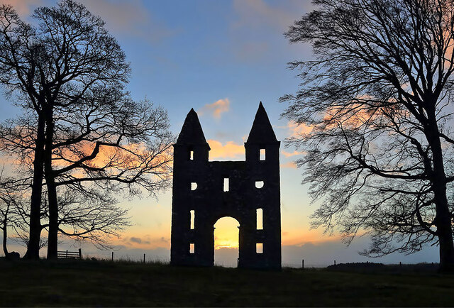
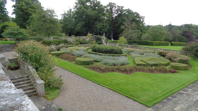
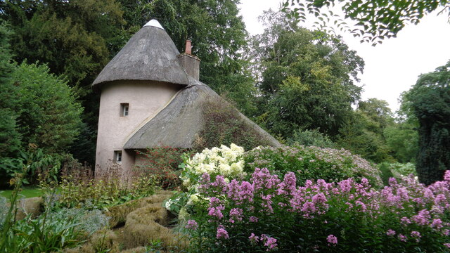
Mellerstain House
Mellerstain House is a stately home around 8 miles (13 kilometres) north of Kelso in the Borders, Scotland. It is currently the home of George Baillie...

Nenthorn
Nenthorn is a parish and hamlet in the south of the historic county of Berwickshire in the Scottish Borders area of Scotland. It is included in the Floors...

Smailholm
Smailholm (Scots: Smailhowm) is a small village in the historic county of Roxburghshire in south-east Scotland. It is at grid reference NT648364 and straddles...

Gordon, Scottish Borders
Gordon is a village in the Scottish Borders area of Scotland, within the historic county of Berwickshire. The village sits on the crossroads of the A6105...
Nearby Amenities
Located within 500m of 55.642864,-2.5335175Have you been to Willieswell Plantation?
Leave your review of Willieswell Plantation below (or comments, questions and feedback).