Smithy Wood
Wood, Forest in Kincardineshire
Scotland
Smithy Wood
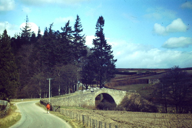
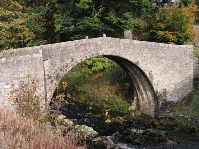
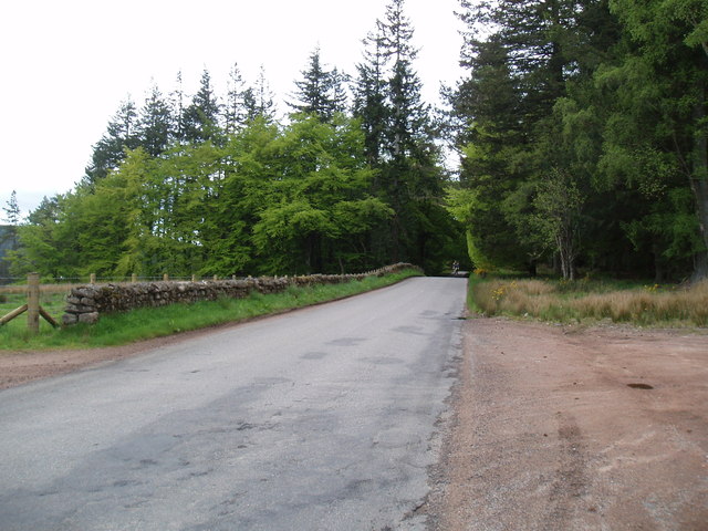
Smithy Wood is a woodland area located in Kincardineshire, Scotland. It covers an area of approximately 500 acres and is characterized by its diverse range of flora and fauna. The wood is a mixture of mature trees, including oak, beech, and birch, and younger saplings, creating a rich and varied habitat.
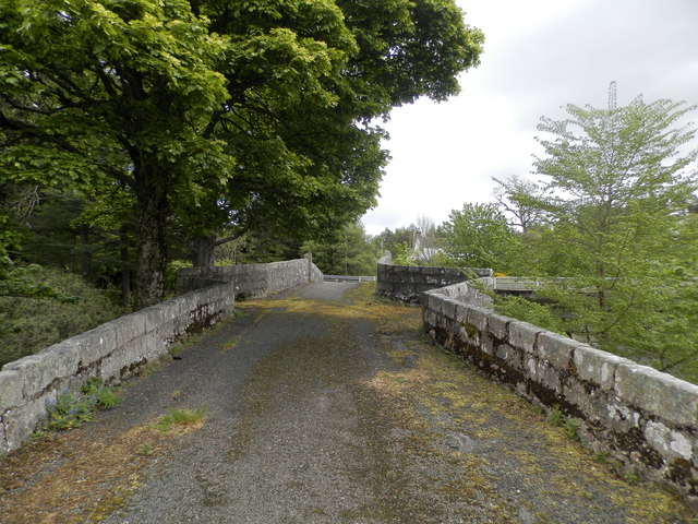
The wood is home to numerous wildlife species, including deer, foxes, badgers, and a variety of bird species. It provides a vital sanctuary for these animals, offering shelter and a source of food. The wood also contains a number of well-maintained footpaths and trails, making it a popular destination for walkers and nature enthusiasts.
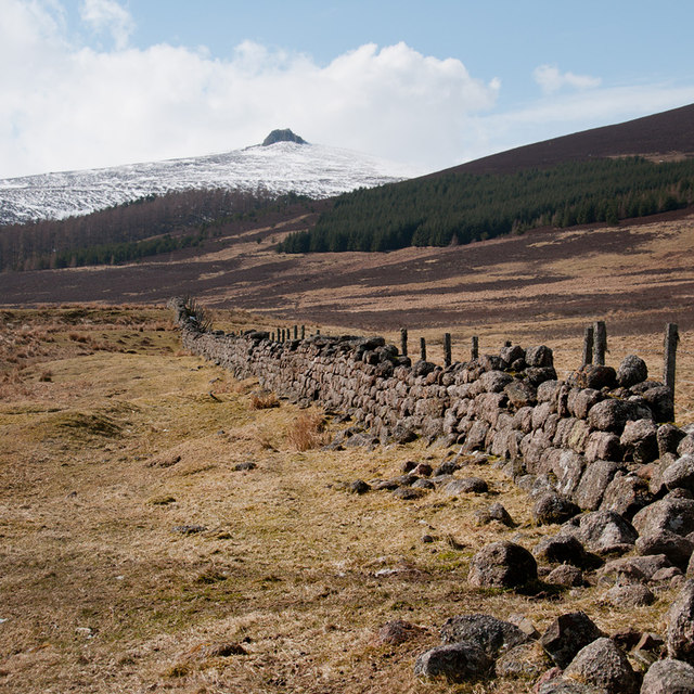
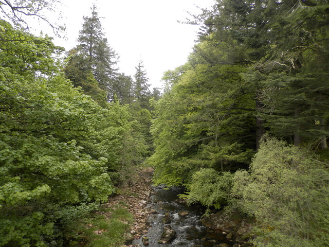
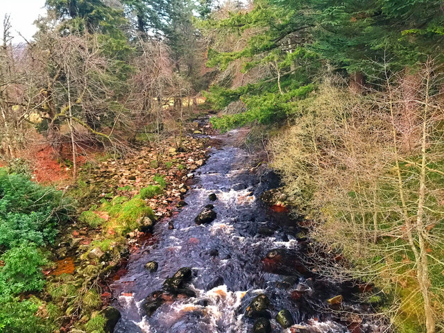
Smithy Wood has a long history, dating back several centuries. It was once part of a larger estate owned by the local aristocracy, and remnants of old stone walls and ruins can still be found scattered throughout the wood. The area also features a small stream that meanders through the trees, adding to the natural beauty of the landscape.
In recent years, Smithy Wood has become the focus of conservation efforts, with local authorities and environmental organizations working together to protect and preserve its unique ecosystem. This includes regular maintenance and monitoring of the wood, as well as educational programs to raise awareness about the importance of the woodland.
Overall, Smithy Wood in Kincardineshire is a cherished natural resource, providing a haven for wildlife and a tranquil escape for visitors. Its mix of ancient trees, diverse wildlife, and historical significance make it a truly special place to explore and appreciate the beauty of the natural world.
If you have any feedback on the listing, please let us know in the comments section below.
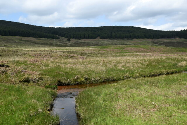
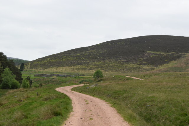
Smithy Wood Images
Images are sourced within 2km of 56.972102/-2.5763969 or Grid Reference NO6586. Thanks to Geograph Open Source API. All images are credited.


Smithy Wood is located at Grid Ref: NO6586 (Lat: 56.972102, Lng: -2.5763969)
Unitary Authority: Aberdeenshire
Police Authority: North East
What 3 Words
///founding.buddy.seatbelt. Near Banchory, Aberdeenshire
Nearby Locations
Related Wikis

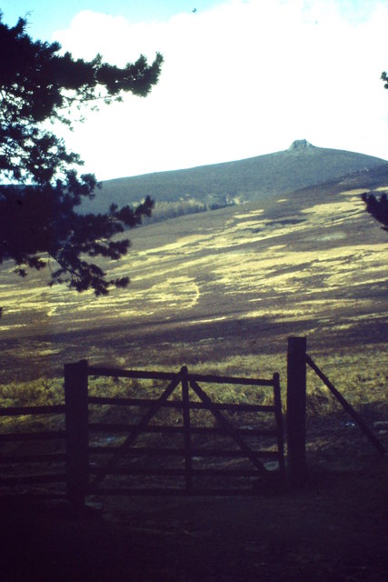
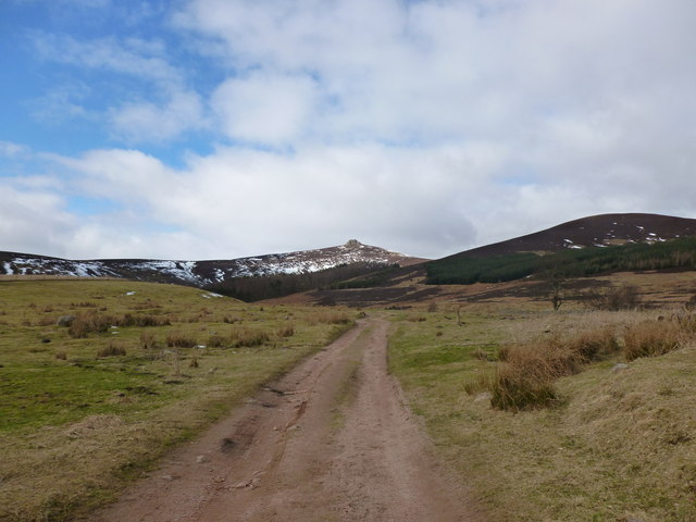
Clachnaben
Clachnaben (archaically "Cloch-na'bain"; Scottish Gaelic: "Clach na Beinne") is a 589-metre hill in Glen Dye, Aberdeenshire, Scotland. It is a distinctive...

Water of Aven
The Water of Aven (or A'an) (Scottish Gaelic: an t-Uisge Bàn) is a tributary of the Water of Feugh, itself the largest tributary of the River Dee, Aberdeenshire...

Strachan, Aberdeenshire
Strachan is a village in Aberdeenshire, Scotland that lies along the Water of Feugh, a tributary of the River Dee, Aberdeenshire, a few miles southwest...

Easter Clune Castle
Easter Clune Castle is a ruined 16th-century tower house, about 6 miles (9.7 km) south-west of Banchory, Aberdeenshire, Scotland, and south of the Water...
Nearby Amenities
Located within 500m of 56.972102,-2.5763969Have you been to Smithy Wood?
Leave your review of Smithy Wood below (or comments, questions and feedback).