Heathery Wood
Wood, Forest in Kincardineshire
Scotland
Heathery Wood
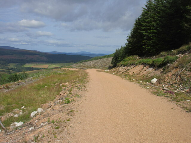
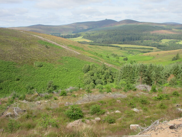
Heathery Wood is a beautiful forest located in Kincardineshire, Scotland. Covering an area of approximately 100 acres, it is known for its lush greenery and diverse wildlife. The wood is situated near the town of Stonehaven, making it easily accessible for locals and tourists alike.
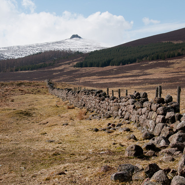
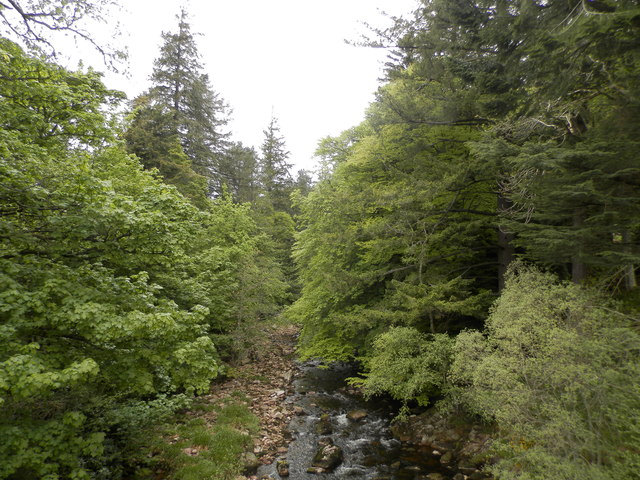
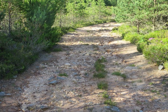
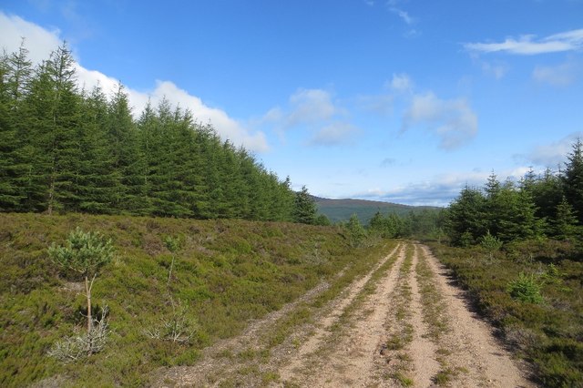
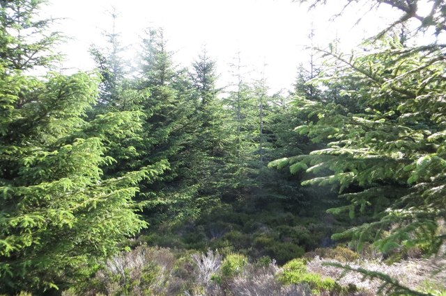
The forest is predominantly made up of broadleaf trees such as oak, beech, and birch, creating a stunning canopy of vibrant foliage. The woodland floor is blanketed with heather, giving the forest its name and adding a touch of purple to the landscape during the summer months. This creates a picturesque setting that is perfect for nature lovers and photographers.
Heathery Wood is home to a wide range of wildlife, including deer, foxes, and a variety of bird species. Birdwatchers will be delighted by the chance to spot species such as woodpeckers, owls, and buzzards. The forest also provides habitats for smaller creatures like squirrels, badgers, and rabbits.
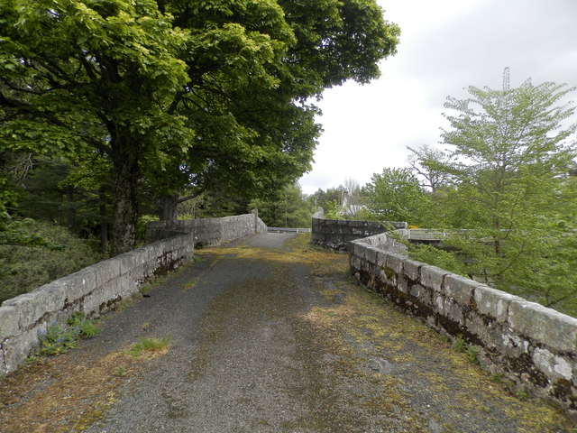
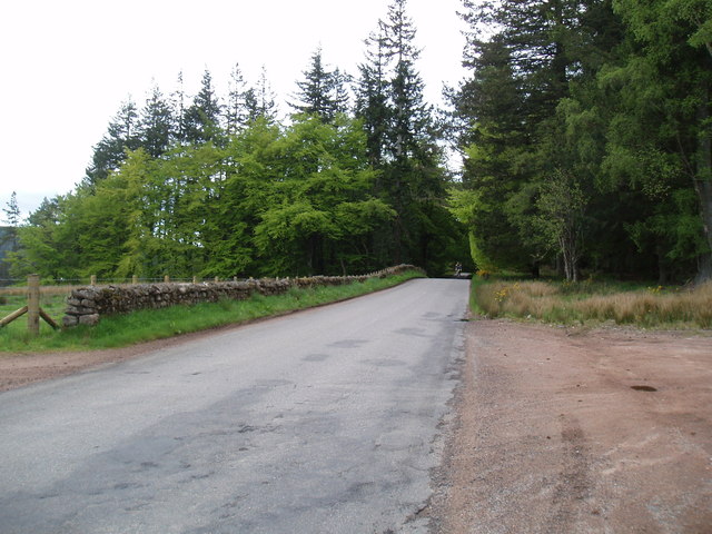
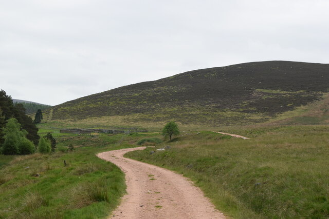
Visitors to Heathery Wood can enjoy a network of well-maintained trails that wind through the forest, providing opportunities for walking, jogging, and cycling. These paths are suitable for people of all ages and fitness levels, making it an ideal location for a family day out or a peaceful retreat.
Overall, Heathery Wood offers a captivating natural environment filled with diverse flora and fauna. Its accessibility and scenic beauty make it a popular destination for nature enthusiasts looking to immerse themselves in the tranquility of the Scottish countryside.
If you have any feedback on the listing, please let us know in the comments section below.
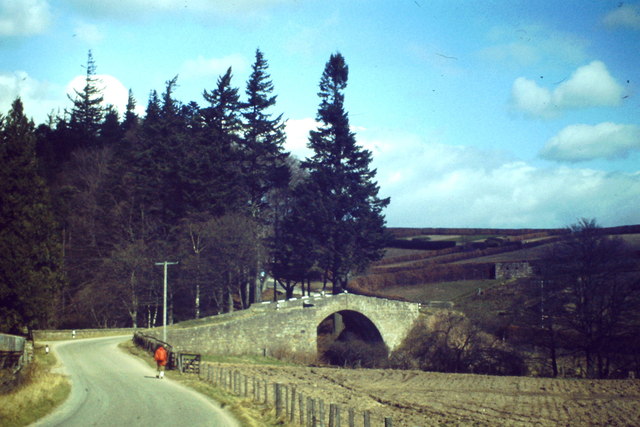
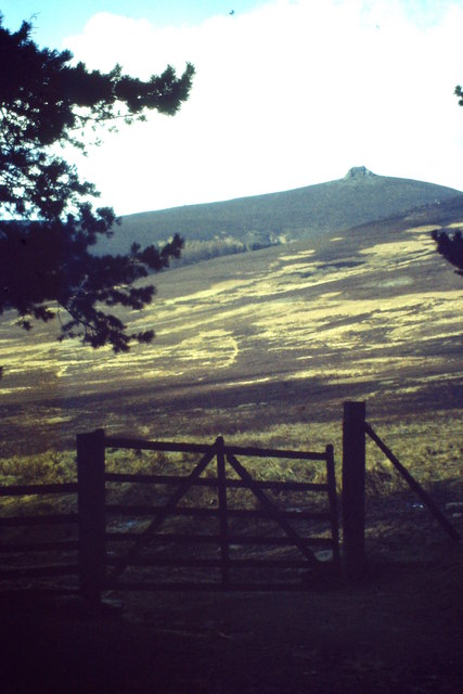
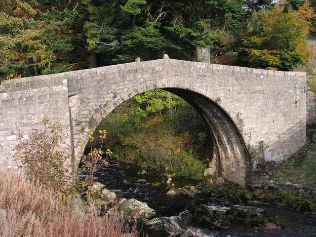
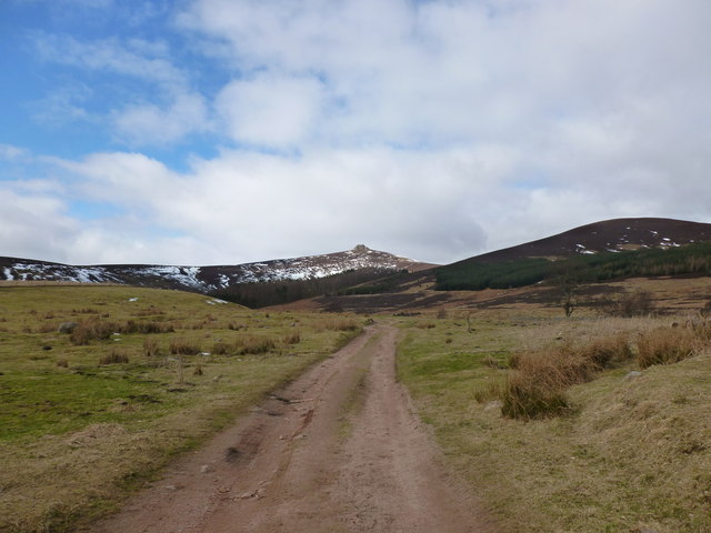
Heathery Wood Images
Images are sourced within 2km of 56.967846/-2.5620715 or Grid Reference NO6586. Thanks to Geograph Open Source API. All images are credited.


Heathery Wood is located at Grid Ref: NO6586 (Lat: 56.967846, Lng: -2.5620715)
Unitary Authority: Aberdeenshire
Police Authority: North East
What 3 Words
///girder.lived.joints. Near Banchory, Aberdeenshire
Nearby Locations
Related Wikis

Clachnaben
Clachnaben (archaically "Cloch-na'bain"; Scottish Gaelic: "Clach na Beinne") is a 589-metre hill in Glen Dye, Aberdeenshire, Scotland. It is a distinctive...

Cairn O' Mounth
Cairn O' Mounth/Cairn O' Mount (Scottish Gaelic: Càrn Mhon) is a high mountain pass in Aberdeenshire, Scotland. The place name is a survival of the ancient...

Drumtochty Forest
Drumtochty Forest is a coniferous woodland in Kincardineshire, Scotland. In earlier times this forest was associated with Drumtochty Castle. Other notable...

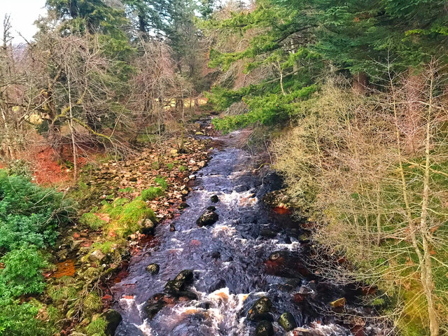
Water of Aven
The Water of Aven (or A'an) (Scottish Gaelic: an t-Uisge Bàn) is a tributary of the Water of Feugh, itself the largest tributary of the River Dee, Aberdeenshire...

Strachan, Aberdeenshire
Strachan is a village in Aberdeenshire, Scotland that lies along the Water of Feugh, a tributary of the River Dee, Aberdeenshire, a few miles southwest...

Kincardineshire
Kincardineshire, also known as the Mearns (from the Scottish Gaelic A' Mhaoirne meaning "the Stewartry"), is a historic county, registration county and...
Easter Clune Castle
Easter Clune Castle is a ruined 16th-century tower house, about 6 miles (9.7 km) south-west of Banchory, Aberdeenshire, Scotland, and south of the Water...

Finzean
Finzean (; Scottish Gaelic: Fìnnean) is a rural community, electoral polling district, community council area and former ecclesiastical parish, which forms...
Nearby Amenities
Located within 500m of 56.967846,-2.5620715Have you been to Heathery Wood?
Leave your review of Heathery Wood below (or comments, questions and feedback).