McCall's Strip

Wood, Forest in Roxburghshire

Scotland

McCall's Strip

Road, farmland
Road, farmland Credit: Alex McGregor

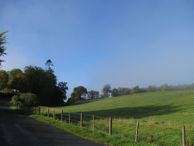
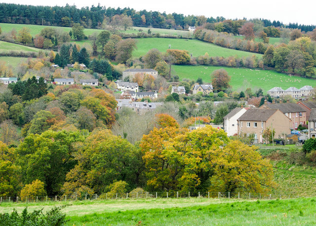
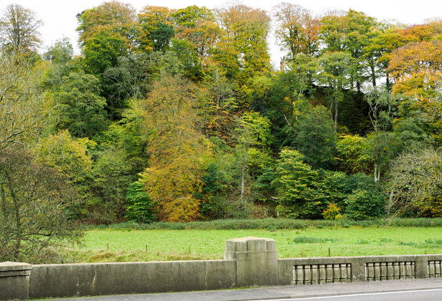
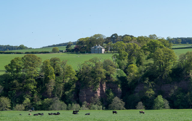
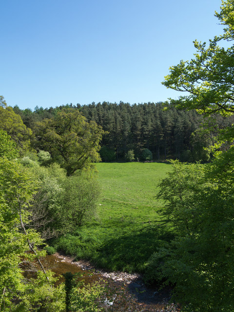
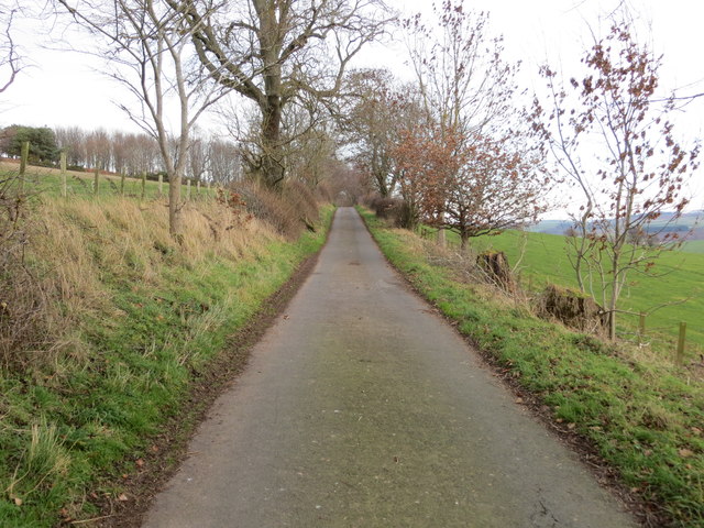
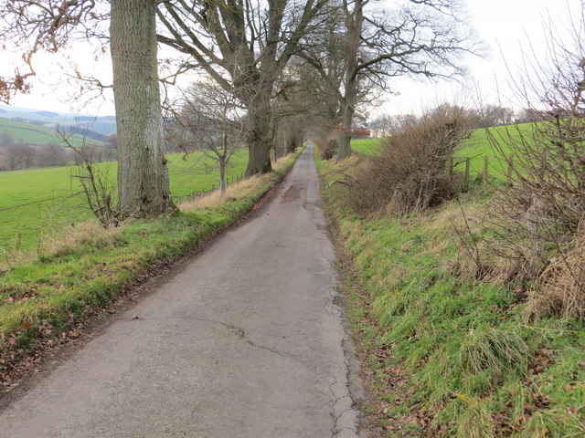
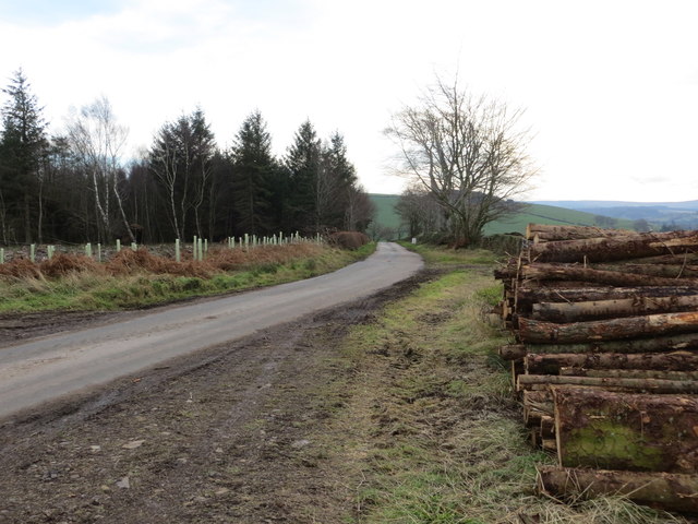
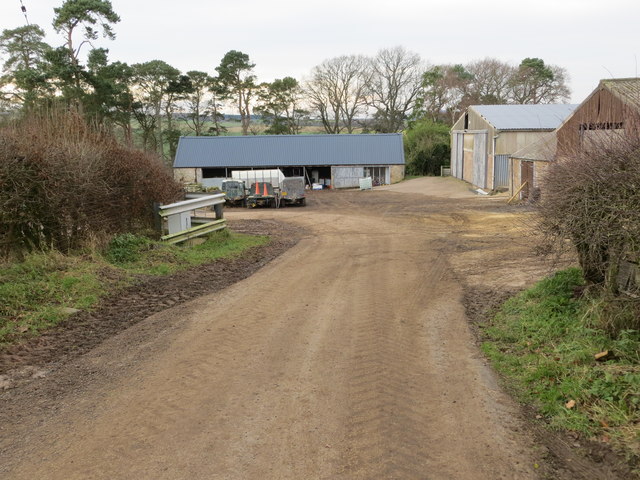
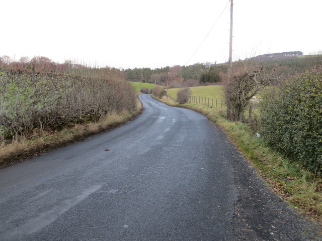
McCall's Strip, located in Roxburghshire, Scotland, is a picturesque wood and forest area that offers visitors a tranquil and enchanting experience. Covering an extensive area, this natural wonderland is home to a diverse range of flora and fauna, making it a haven for nature enthusiasts and wildlife lovers.

The woodlands of McCall's Strip are predominantly populated by ancient oak trees, their branches stretching towards the sky, creating a magical canopy overhead. The forest floor is blanketed in a thick layer of moss and ferns, giving it a lush and vibrant appearance. The air is filled with the sweet scent of pine, adding to the overall sensory experience.

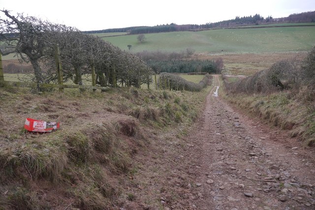
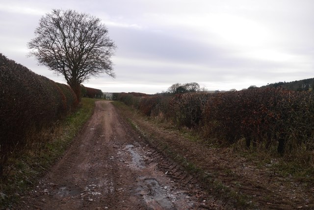
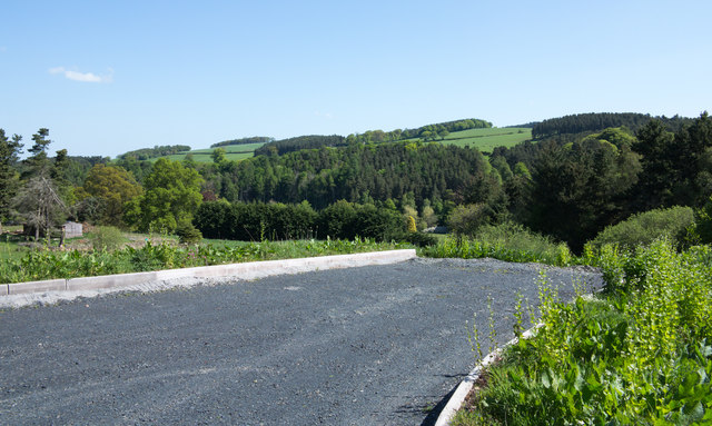
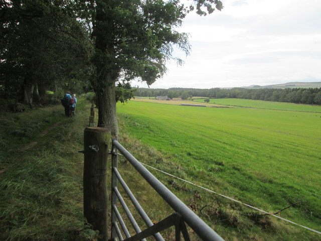
Visitors to McCall's Strip can embark on leisurely walks along the well-maintained trails that wind through the woods. These pathways lead to hidden clearings, where visitors can pause and immerse themselves in the peacefulness of nature. There are also designated picnic areas where families and friends can relax and enjoy a meal surrounded by the beauty of the forest.

The forest is teeming with wildlife, providing ample opportunities for birdwatching and animal spotting. Red squirrels can often be seen darting through the trees, while deer roam freely in the distance. Bird species such as woodpeckers, owls, and various songbirds create a symphony of melodies, adding an auditory dimension to this natural paradise.

Overall, McCall's Strip in Roxburghshire is a captivating wood and forest area that offers a serene and awe-inspiring experience. With its ancient trees, vibrant flora, and abundant wildlife, it is a place where visitors can reconnect with nature and find solace in its peaceful embrace.

If you have any feedback on the listing, please let us know in the comments section below.

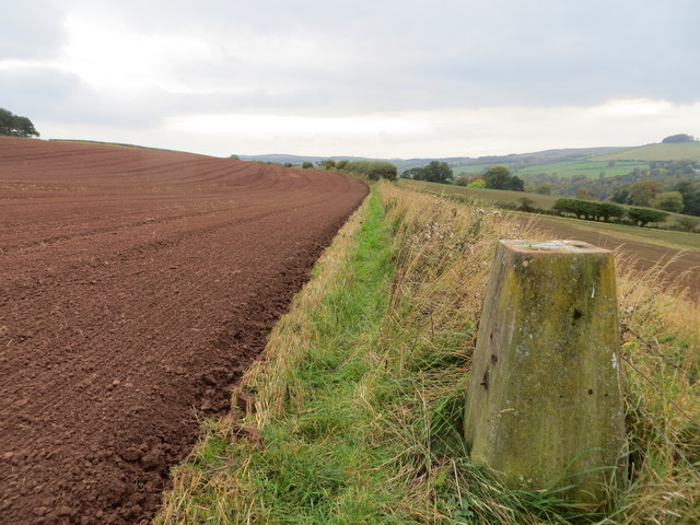
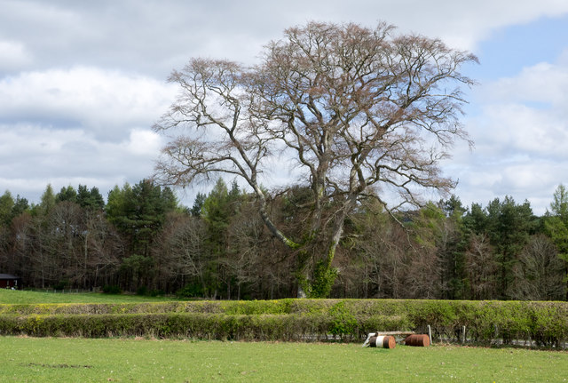
McCall's Strip Images

Images are sourced within 2km of 55.456422/-2.5401681 or Grid Reference NT6518. Thanks to Geograph Open Source API. All images are credited.

Road, farmland
Road, farmland
Field edge view from Howden Triangulation Pillar Looking south-westward.
Field edge view from Howden Triangulation Pillar
Looking south-westward.
Linthaugh Cottage
Linthaugh Cottage
Hedges and oil drums The A68 runs between the two hedge lines. The oil drums appear to be part of a jump for horses - there are other similar things in the field.
Hedges and oil drums
The A68 runs between the two hedge lines. The oil drums appear to be part of a jump for horses - there are other similar things in the field.
Autumnal trees at edge of Howdenburn Glen The Howden Burn (of the Howdenburn Glen) is a minor stream entering the Jed Water to the south of Jedburgh. The houses beyond are of course in the town.
Autumnal trees at edge of Howdenburn Glen
The Howden Burn (of the Howdenburn Glen) is a minor stream entering the Jed Water to the south of Jedburgh. The houses beyond are of course in the town.
Deciduous woodland on slope beyond Hundalee Bridge The trees are on a steep slope with exposed rock. One of the parapets of Hundalee Bridge is in the foreground.
Deciduous woodland on slope beyond Hundalee Bridge
The trees are on a steep slope with exposed rock. One of the parapets of Hundalee Bridge is in the foreground.
Oxnam to Mossburnford road A steep section, used as a field access route.
Oxnam to Mossburnford road
A steep section, used as a field access route.
Oxnam to Mossburnford road Approaching Mossburnford on a farm road. Looks muddy, but today it was frozen solid.
Oxnam to Mossburnford road
Approaching Mossburnford on a farm road. Looks muddy, but today it was frozen solid.
Sandstone crag above Jed Water The crag is seen across a field with cattle, descending from the A68 a few kilometres south of Jedburgh.
Sandstone crag above Jed Water
The crag is seen across a field with cattle, descending from the A68 a few kilometres south of Jedburgh.
A road going nowhere A curious stretch of road! It's broad as it leaves the A68 to the west but it ends within perhaps 30 metres of the junction and the height of the kerbstones and roughness of surface shows that no 'black top' has been applied. Beyond the road end a slope descends so steeply towards the Jed Water that is seems unlikely that it would continue directly in that direction.
A road going nowhere
A curious stretch of road! It's broad as it leaves the A68 to the west but it ends within perhaps 30 metres of the junction and the height of the kerbstones and roughness of surface shows that no 'black top' has been applied. Beyond the road end a slope descends so steeply towards the Jed Water that is seems unlikely that it would continue directly in that direction.
Jed Water below the A68 The river, Jed Water, flowing below a steep slope just south of Jedburgh.
Jed Water below the A68
The river, Jed Water, flowing below a steep slope just south of Jedburgh.
A68 at Inchbonny Bridge
Minor road approaching Violet Strip Looking north-eastward.
Minor road approaching Violet Strip
Looking north-eastward.
Minor road heading in the direction of Mossburnford Looking south-westward.
Minor road heading in the direction of Mossburnford
Looking south-westward.
Harvested timber awaiting beside a road near to Mossburnfoot for onward transportation Looking south-eastward.
Harvested timber awaiting beside a road near to Mossburnfoot for onward transportation
Looking south-eastward.
The end of a minor road at Kersheugh Farm Looking south-westward.
The end of a minor road at Kersheugh Farm
Looking south-westward.
Road (B6357) near Lintalee Looking north-eastward towards the A68.
Road (B6357) near Lintalee
Looking north-eastward towards the A68.
Footpath  coming  out  of  Natural  Wood  onto  farmland The footpath then becomes a track to fields. Looking toward Hunthill Farm
Footpath coming out of Natural Wood onto farmland
The footpath then becomes a track to fields. Looking toward Hunthill Farm
Show me another place!

McCall's Strip is located at Grid Ref: NT6518 (Lat: 55.456422, Lng: -2.5401681)

Unitary Authority: The Scottish Borders

Police Authority: The Lothians and Scottish Borders

What 3 Words

///rekindle.marathon.when. Near Jedburgh, Scottish Borders

Related Wikis

Ferniehirst Castle

Ferniehirst Castle (sometimes spelled Ferniehurst) is an L-shaped construction on the east bank of the Jed Water, about a mile and a half south of Jedburgh...

Capon Oak Tree

The Capon Oak Tree is one of the last surviving trees of the ancient Jedforest, close to Jed Water, a small river which has cut a course below soft sandstone...

Jedforest

Jedforest is an historic forest in the Scottish Borders, that has been heavily wooded in the past. It is close to Jed Water and the town of Jedburgh, from...

Jedburgh Castle

Jedburgh Castle was a castle at Jedburgh in Scotland. It was fought over during the Wars of Scottish Independence, and was demolished by the Scots commanded...

Jedburgh

Jedburgh (; Scottish Gaelic: Deadard; Scots: Jeddart or Jethart) is a town and former royal burgh in the Scottish Borders and the traditional county town...

Jedburgh Abbey

Jedburgh Abbey, a ruined Augustinian abbey which was founded in the 12th century, is situated in the town of Jedburgh, in the Scottish Borders 10 miles...

Bairnkine

Bairnkine is a hamlet on the Jed Water in the Scottish Borders area of Scotland, on the A68, south of Jedburgh. Other places nearby include Abbotrule,...

Canongate Bridge

The Canongate Bridge is a pedestrian bridge in the Scottish Borders town of Jedburgh. It was built as the town's main bridge over the Jed Water in the...

Nearby Amenities

Located within 500m of 55.456422,-2.5401681
Power: pole
Lat/Long: 55.4553007/-2.5450044
Power: pole
Lat/Long: 55.4549163/-2.545462
Power: pole
Lat/Long: 55.4543125/-2.5461808
The data included in this document is from www.openstreetmap.org. The data is made available under ODbL.

Have you been to McCall's Strip?

Leave your review of McCall's Strip below (or comments, questions and feedback).