Blackstock Wood
Wood, Forest in Aberdeenshire
Scotland
Blackstock Wood
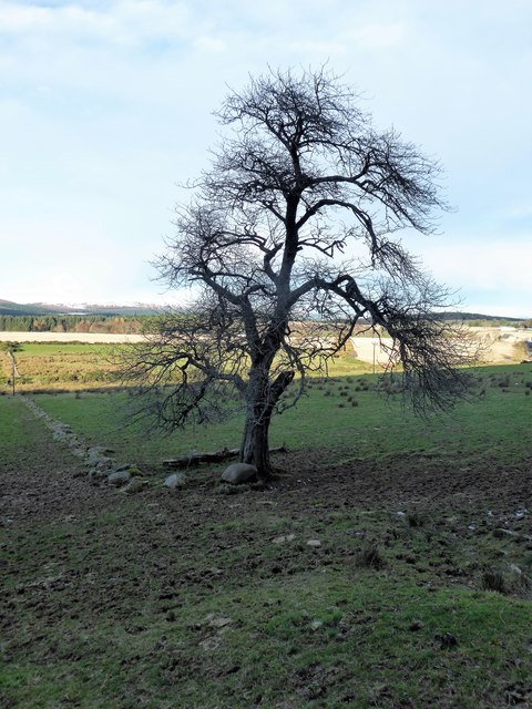
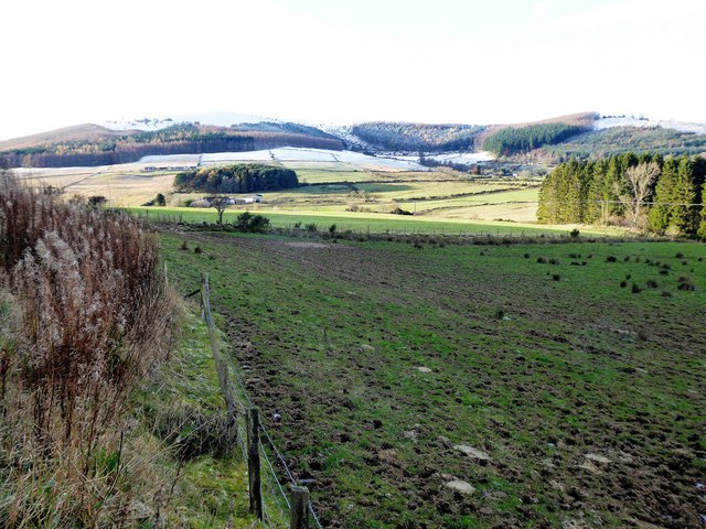
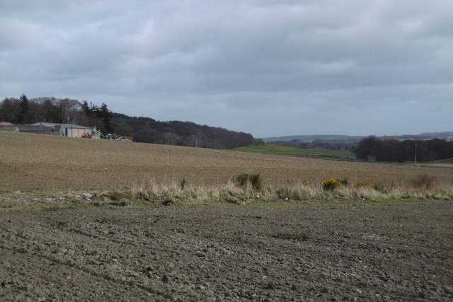
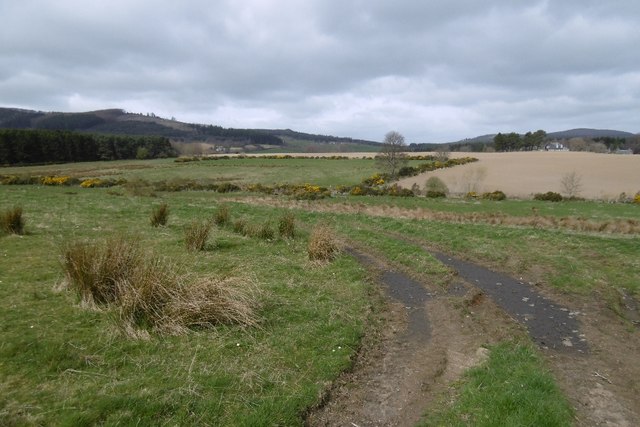
Blackstock Wood is a dense forest located in Aberdeenshire, Scotland. Spanning over a considerable area, this woodland is a natural haven for various species of flora and fauna. The forest is characterized by its towering, mature trees that create a dense canopy, allowing only dappled sunlight to filter through. The predominant tree species found here include oak, birch, and pine, which provide a diverse habitat for wildlife.
The forest floor of Blackstock Wood is covered in a thick layer of decomposing leaves, creating a fertile ground for numerous plant species to thrive. Mosses, ferns, and wildflowers can be found in abundance, adding to the natural beauty of the wood. The undergrowth is teeming with small mammals, such as voles, shrews, and mice, which find shelter among fallen logs and dense vegetation.
Blackstock Wood is also home to a wide range of bird species, making it a birdwatcher's paradise. Visitors can spot birds like woodpeckers, thrushes, and owls, as well as various birds of prey such as buzzards and kestrels. Additionally, the forest provides a habitat for larger mammals, including deer and foxes, which can occasionally be spotted by lucky observers.
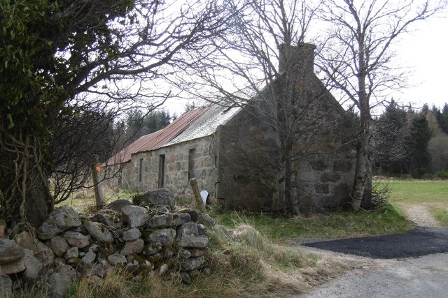
The tranquil atmosphere and scenic beauty of Blackstock Wood make it a popular destination for nature enthusiasts, hikers, and photographers. Several well-marked trails crisscross the forest, allowing visitors to explore its wonders at their own pace. With its rich biodiversity and serene ambiance, Blackstock Wood offers a peaceful retreat where one can immerse themselves in the beauty of nature.
If you have any feedback on the listing, please let us know in the comments section below.
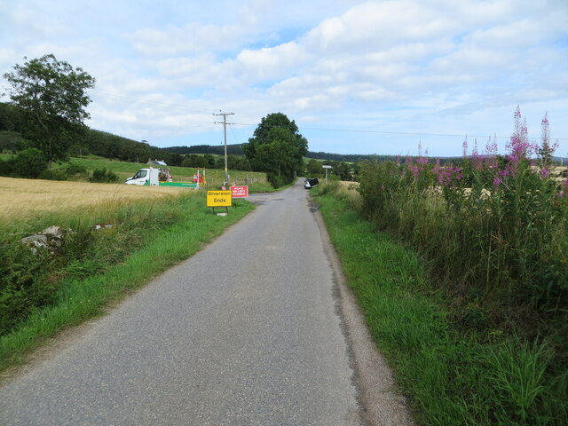
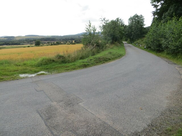
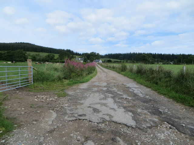
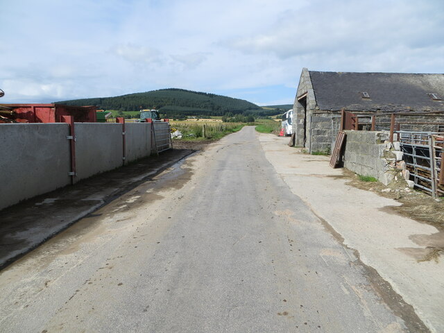
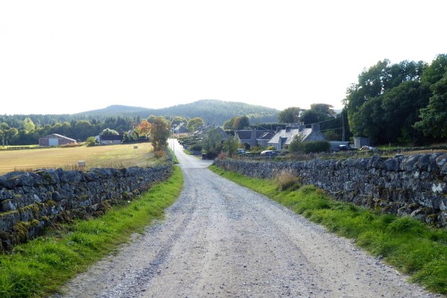
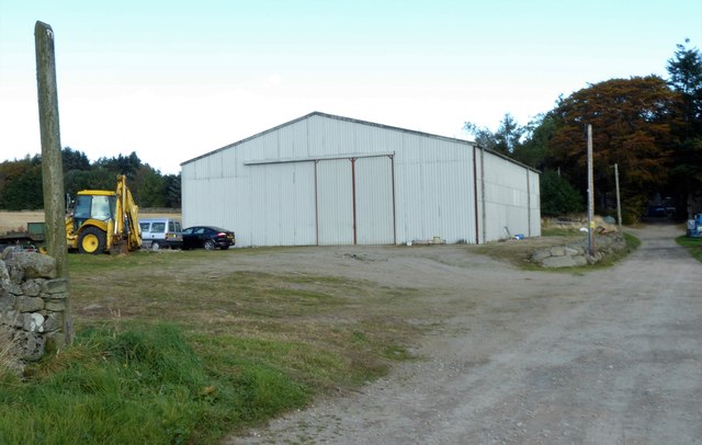
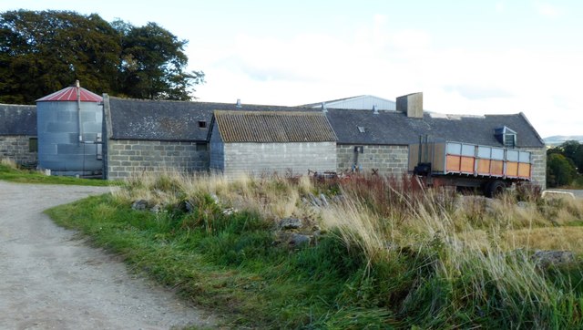
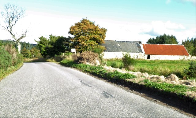
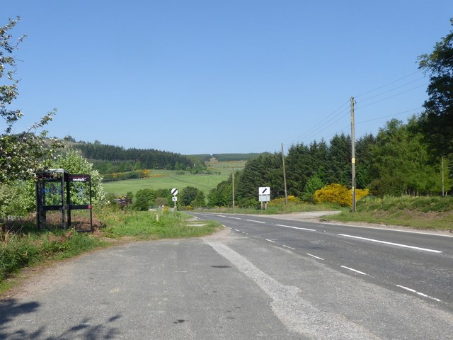
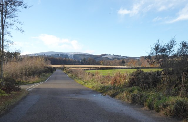
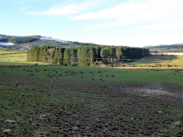
Blackstock Wood Images
Images are sourced within 2km of 57.180458/-2.5649825 or Grid Reference NJ6510. Thanks to Geograph Open Source API. All images are credited.
Blackstock Wood is located at Grid Ref: NJ6510 (Lat: 57.180458, Lng: -2.5649825)
Unitary Authority: Aberdeenshire
Police Authority: North East
What 3 Words
///lawn.scored.dairy. Near Sauchen, Aberdeenshire
Nearby Locations
Related Wikis

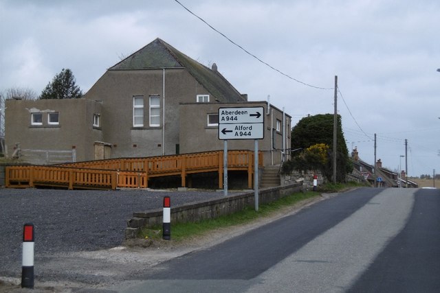
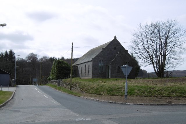
Tillyfourie
Tillyfourie is a hamlet in Aberdeenshire, Scotland. It is situated at the junction between the A944 road and the B993 road. A disused quarry and a stone...

A944 road
The A944 road connects Aberdeen with Strathdon in north-east Scotland. == Route == It originates at the Lang Stracht in the city, which is a re-routing...

Tillycairn Castle
Tillycairn Castle is an L-plan castle, dating from the 16th century, standing on high ground around 2.0 miles (3.2 km) south-east of Cluny in Aberdeenshire...
Tillyfourie railway station
Tillyfourie railway station was a railway station serving Tillyfourie, Aberdeenshire, Scotland. The station opened on 2 June 1860 on the Alford Valley...
Nearby Amenities
Located within 500m of 57.180458,-2.5649825Have you been to Blackstock Wood?
Leave your review of Blackstock Wood below (or comments, questions and feedback).