Bridge Wood
Wood, Forest in Kincardineshire
Scotland
Bridge Wood
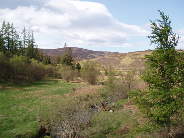
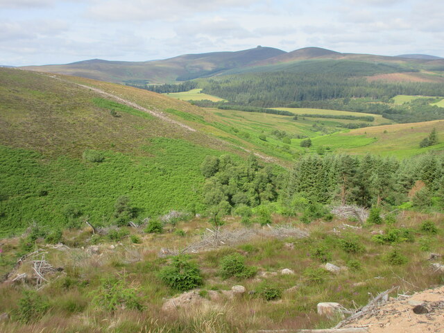
Bridge Wood is a captivating forest located in the region of Kincardineshire, Scotland. It covers an expansive area of land and is nestled between the towns of Stonehaven and Banchory. This picturesque woodland boasts a rich history and offers a tranquil escape for nature enthusiasts and outdoor adventurers alike.
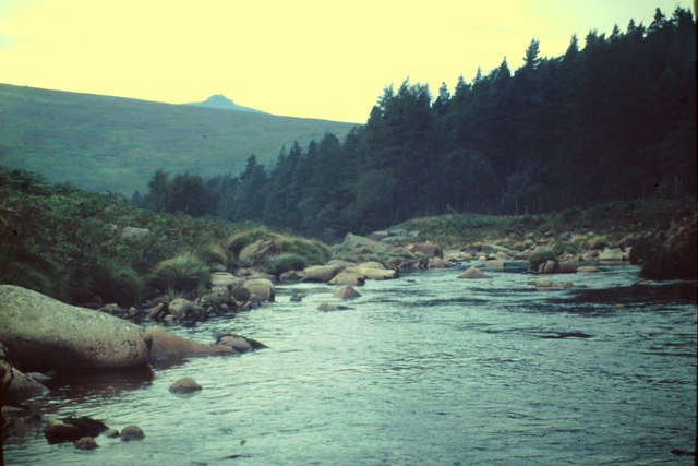
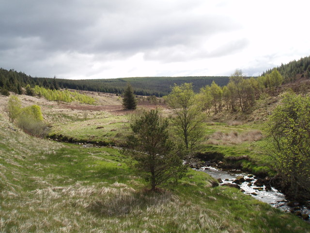
The forest is primarily composed of native species, including oak, birch, and pine trees, which create a diverse and vibrant ecosystem. The dense foliage provides a haven for a wide variety of wildlife, including deer, squirrels, and a plethora of bird species. Visitors often find themselves captivated by the harmonious sounds of birdsong echoing through the forest.
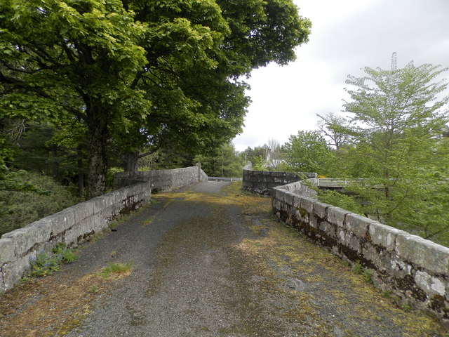
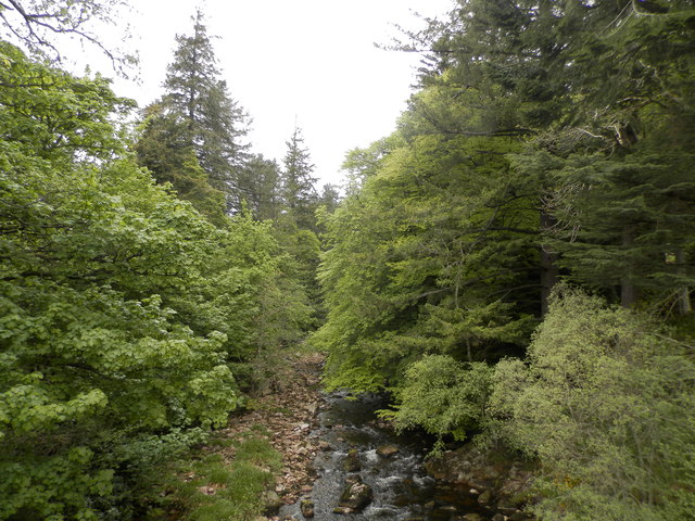
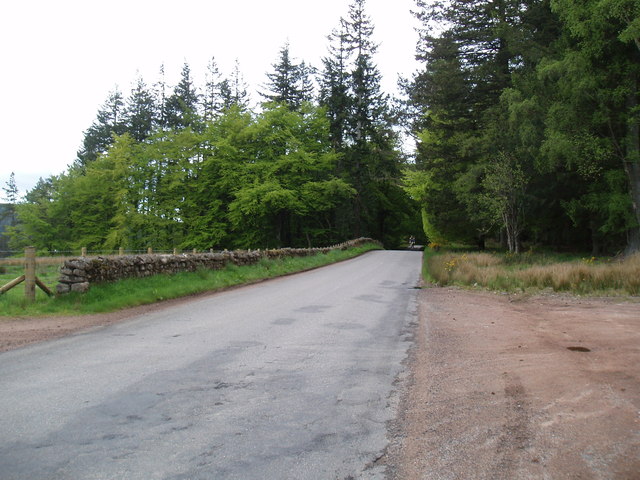
Bridge Wood is interwoven with a network of well-maintained walking trails, offering visitors the opportunity to explore its natural beauty and immerse themselves in the enchanting surroundings. The trails wind through the wood, leading to breathtaking viewpoints and hidden gems, such as a babbling brook or a secluded clearing.
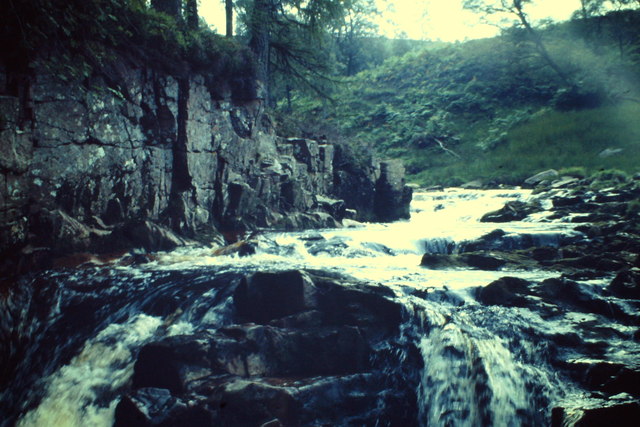
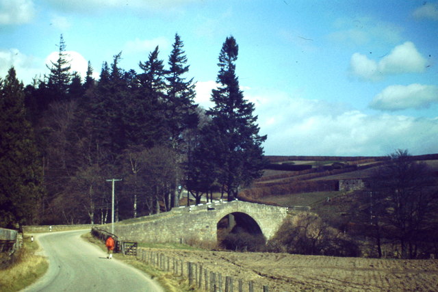
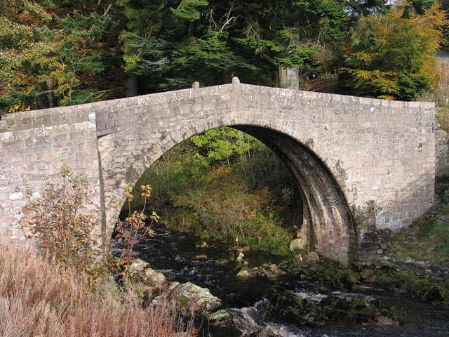
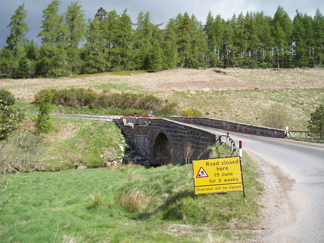
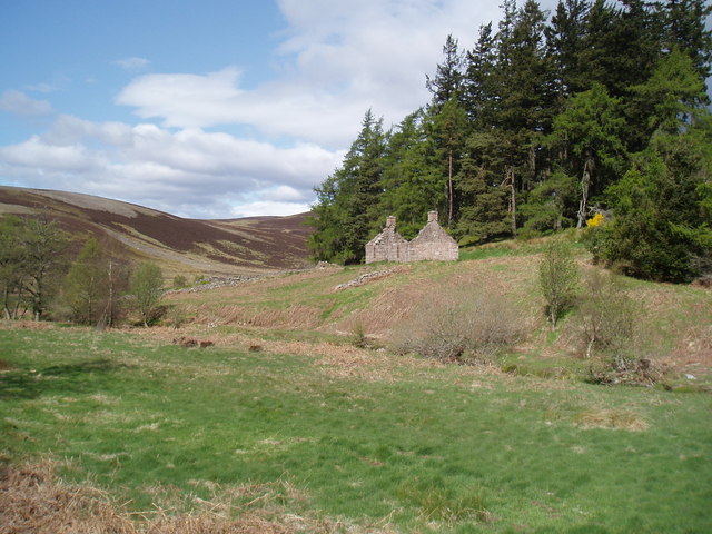
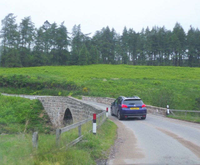
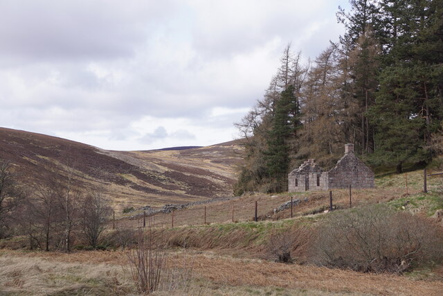
The forest is also home to an abundance of historical sites, including the remains of an ancient bridge that once served as a vital crossing point over the nearby river. These remnants serve as a reminder of the area's past and add an intriguing element to the woodland experience.
Bridge Wood, with its magnificent trees, diverse wildlife, and historical significance, is a true gem within Kincardineshire. Whether one seeks a peaceful stroll through nature, a bird-watching expedition, or a glimpse into the region's past, this forest offers an unforgettable experience for all who visit.
If you have any feedback on the listing, please let us know in the comments section below.
Bridge Wood Images
Images are sourced within 2km of 56.966394/-2.5711775 or Grid Reference NO6586. Thanks to Geograph Open Source API. All images are credited.
Bridge Wood is located at Grid Ref: NO6586 (Lat: 56.966394, Lng: -2.5711775)
Unitary Authority: Aberdeenshire
Police Authority: North East
What 3 Words
///rings.weekend.parading. Near Banchory, Aberdeenshire
Nearby Locations
Related Wikis

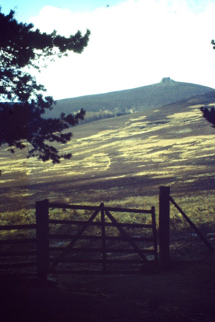
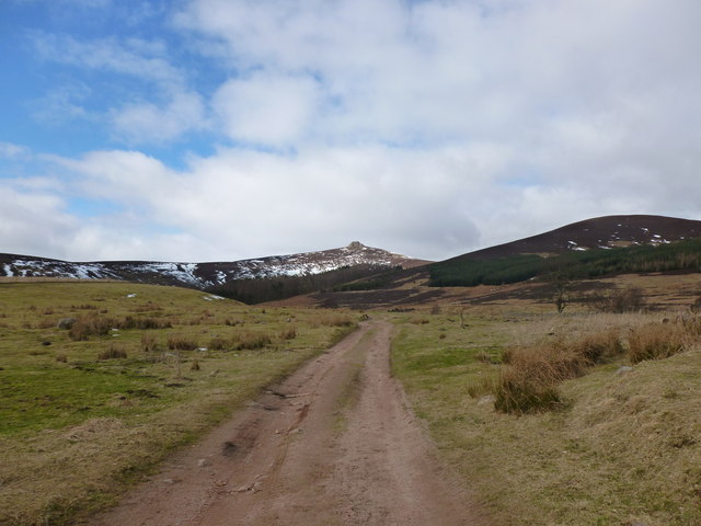
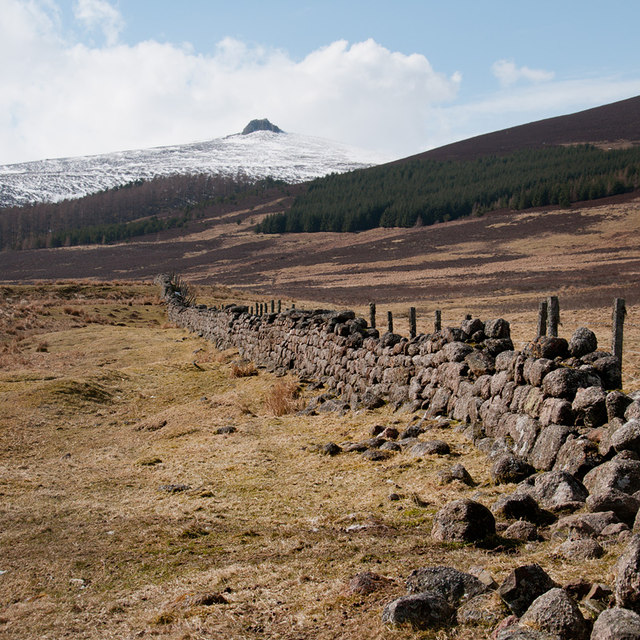
Clachnaben
Clachnaben (archaically "Cloch-na'bain"; Scottish Gaelic: "Clach na Beinne") is a 589-metre hill in Glen Dye, Aberdeenshire, Scotland. It is a distinctive...

Cairn O' Mounth
Cairn O' Mounth/Cairn O' Mount (Scottish Gaelic: Càrn Mhon) is a high mountain pass in Aberdeenshire, Scotland. The place name is a survival of the ancient...

Water of Aven
The Water of Aven (or A'an) (Scottish Gaelic: an t-Uisge Bàn) is a tributary of the Water of Feugh, itself the largest tributary of the River Dee, Aberdeenshire...

Drumtochty Forest
Drumtochty Forest is a coniferous woodland in Kincardineshire, Scotland. In earlier times this forest was associated with Drumtochty Castle. Other notable...
Related Videos


The Stables Drive 29/1/22, Glendye Estate. in 4K UHD
Armed only with 3 spaniel's, a stick and sheer will, an intrepid beater tackles the unholy Stables drive head on....... All footage shot ...

Glendye Wedding Videoography || Amy : Cameron || Slow Dancing in the Dark
How did you meet? We met at blockbuster(RIP) in 2011 when we were both working there. we started dating in mid-2013 when ...
Nearby Amenities
Located within 500m of 56.966394,-2.5711775Have you been to Bridge Wood?
Leave your review of Bridge Wood below (or comments, questions and feedback).