Hamlyn's Plantation

Wood, Forest in Kincardineshire

Scotland

Hamlyn's Plantation

Minor road near Glassel
Minor road near Glassel Credit: Steven Brown

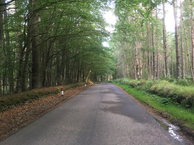
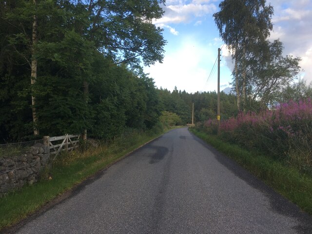
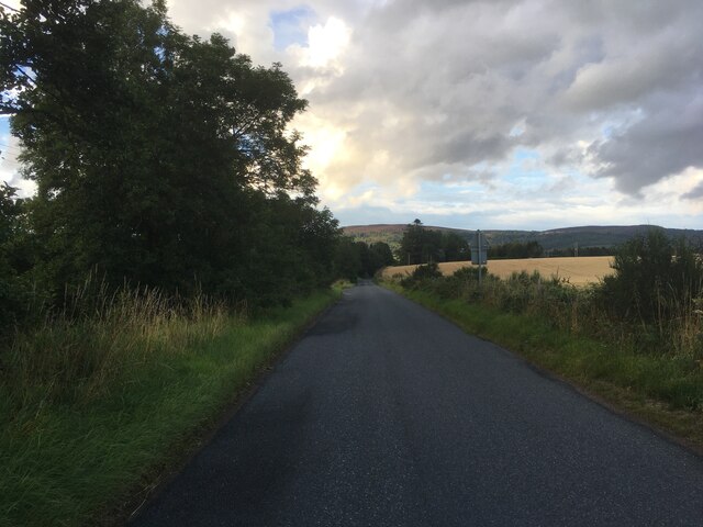
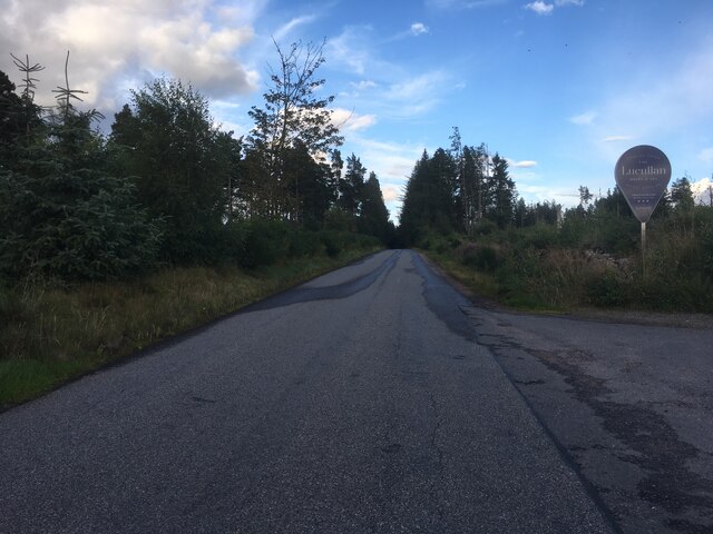
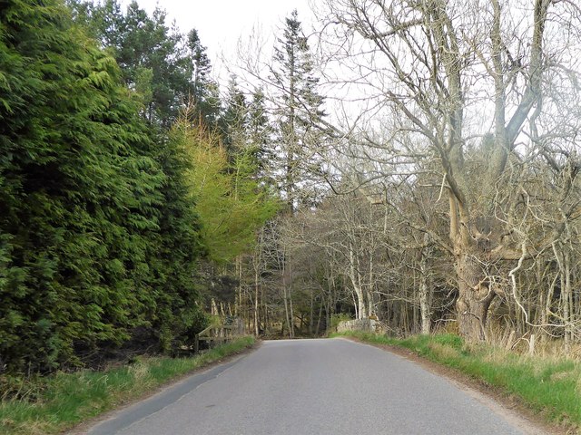
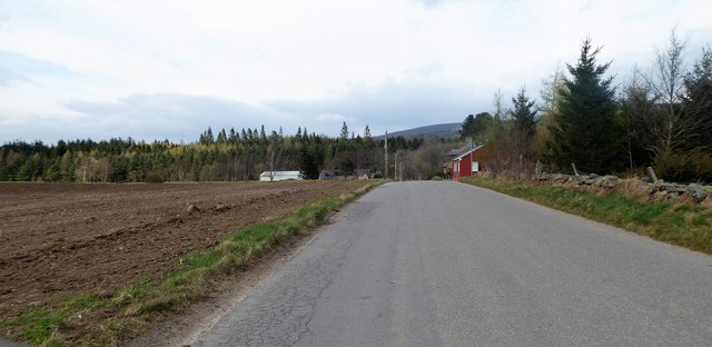
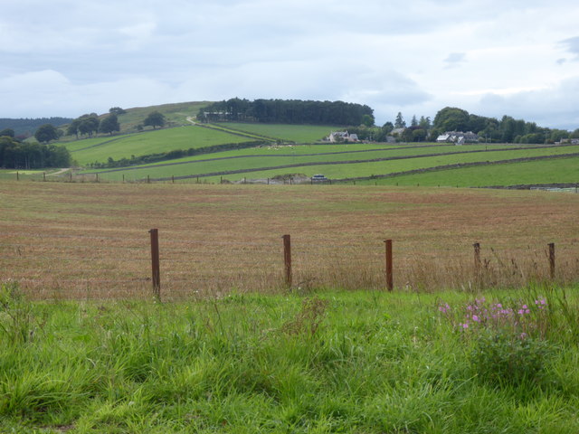
Hamlyn's Plantation is a picturesque woodland area located in Kincardineshire, Scotland. Covering an extensive area of lush greenery, this plantation is known for its diverse collection of trees and the tranquil ambiance it offers to visitors.

Spanning over several acres, Hamlyn's Plantation is home to a variety of tree species, including oak, birch, beech, and ash, among others. The dense canopy formed by these trees provides a natural shelter for a wide range of wildlife, making it a popular spot for birdwatching and nature enthusiasts. The woodland floor is adorned with a carpet of wildflowers, adding to the beauty of the landscape.

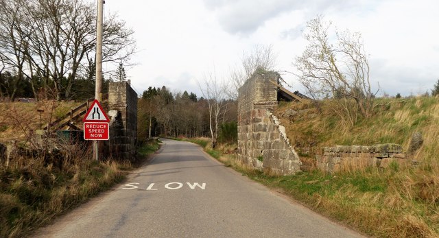
The plantation offers several well-marked walking trails, allowing visitors to explore and immerse themselves in the serenity of the forest. These trails cater to all levels of fitness, ranging from easy strolls to more challenging hikes. Along the way, hikers may encounter small streams and ponds, adding a touch of tranquility to their journey.

Hamlyn's Plantation also serves as an important habitat for various woodland creatures, such as deer, squirrels, and a variety of bird species. Birdwatchers will find this location particularly appealing, as they may catch sight of elusive species, including woodpeckers and owls.

Whether one seeks a peaceful stroll, a wildlife encounter, or simply a place to connect with nature, Hamlyn's Plantation in Kincardineshire offers an idyllic setting for all. Its natural beauty and rich biodiversity make it a must-visit destination for those seeking a respite from the bustle of everyday life.

If you have any feedback on the listing, please let us know in the comments section below.

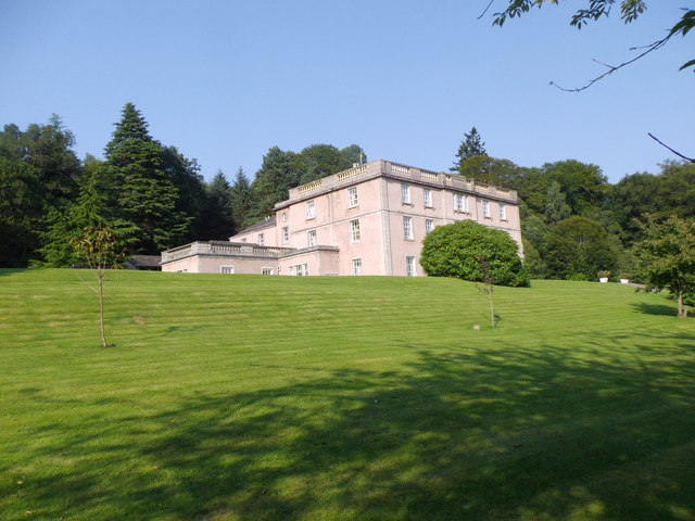
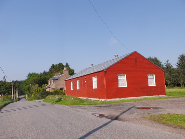
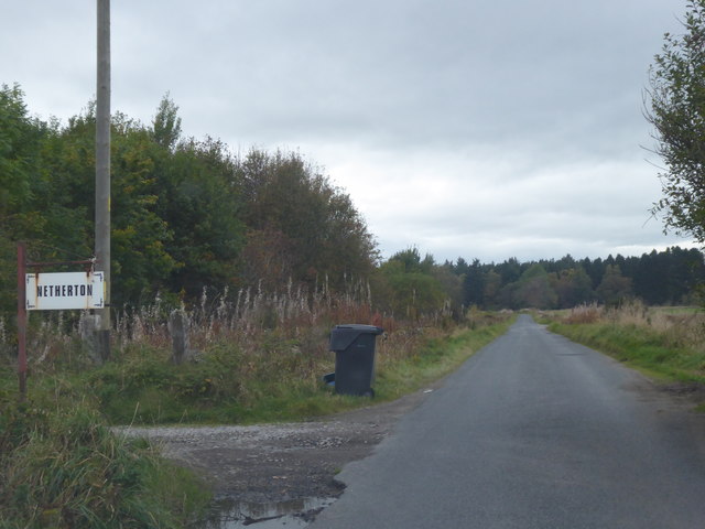
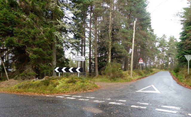
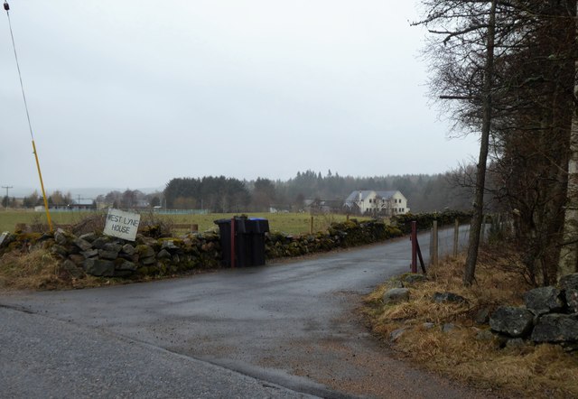
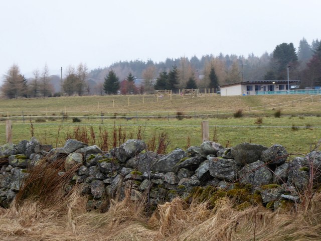
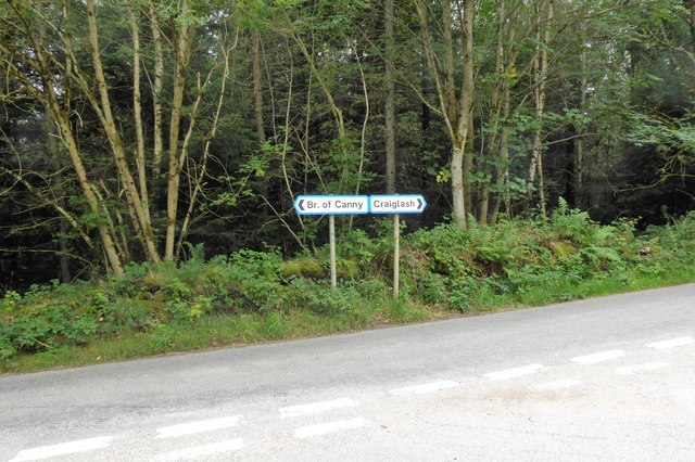
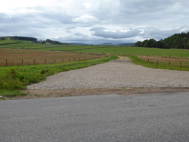
Hamlyn's Plantation Images

Images are sourced within 2km of 57.069766/-2.5731775 or Grid Reference NO6597. Thanks to Geograph Open Source API. All images are credited.

Minor road near Glassel
Minor road near Pittenkerrie
Minor road near Brathens
Minor road past Jampots Wood
View of Inchmarlo House From the estate road to Westfield.
View of Inchmarlo House
From the estate road to Westfield.
Glassel village hall (2015) By a minor road between Torphins and Banchory. Weatherboarding a vibrant colour in this afternoon sunshine.
Glassel village hall (2015)
By a minor road between Torphins and Banchory. Weatherboarding a vibrant colour in this afternoon sunshine.
Access track to Netherton (Nether Brathens) Refuse bin out for waste collection by the public road.
Access track to Netherton (Nether Brathens)
Refuse bin out for waste collection by the public road.
Junction in Brathens Moss Access to Brathens Business Park; off Banchory to Glassel road.
Junction in Brathens Moss
Access to Brathens Business Park; off Banchory to Glassel road.
Bridge over Beltie Burn On a minor road at Glassel; Bogarn Wood ahead.
Bridge over Beltie Burn
On a minor road at Glassel; Bogarn Wood ahead.
Dismantled Railway Bridge over minor road At Glassel; the 'road narrows' warning sign is for a blind hump-back stone bridge over the Beltie Burn a short distance ahead.
Dismantled Railway Bridge over minor road
At Glassel; the 'road narrows' warning sign is for a blind hump-back stone bridge over the Beltie Burn a short distance ahead.
Approach to Glassel village hall From near a minor road junction to its south.
Approach to Glassel village hall
From near a minor road junction to its south.
Glassel Village Hall (2017) Not much changed since 2015 (cf <a href="https://www.geograph.org.uk/photo/4628866">NO6599 : Glassel village hall (2015)</a>)
Glassel Village Hall (2017)
Not much changed since 2015 (cf NO6599 : Glassel village hall (2015))
Access to West Lyne House This 'new build' now has a name.
Access to West Lyne House
This 'new build' now has a name.
Stables and paddock, Glassel
Signpost at junction near Sunnyview Seen as arriving from Glassel. 
The present unclassified Bridge of Canny to Craiglash road was part of the route of the original North Deeside road between Kincardine O'Neil and Banchory, but long since superseded by the A93 trunk road close by to the south. (Craiglash is currently the site of a working granite quarry).
Signpost at junction near Sunnyview
Seen as arriving from Glassel. The present unclassified Bridge of Canny to Craiglash road was part of the route of the original North Deeside road between Kincardine O'Neil and Banchory, but long since superseded by the A93 trunk road close by to the south. (Craiglash is currently the site of a working granite quarry).
A new road in preparation From Glassel Village Hall towards Mains of Easter Beltie (on Hill of Beltie: top left). Track not yet mapped.
A new road in preparation
From Glassel Village Hall towards Mains of Easter Beltie (on Hill of Beltie: top left). Track not yet mapped.
View to Hill of Beltie summit (195m asl) From minor road near Glassel Village Hall.
View to Hill of Beltie summit (195m asl)
From minor road near Glassel Village Hall.
Name sign for West Lyne House A relatively new build on the disused Deeside Railway track.
Name sign for West Lyne House
A relatively new build on the disused Deeside Railway track.
Show me another place!

Hamlyn's Plantation is located at Grid Ref: NO6597 (Lat: 57.069766, Lng: -2.5731775)

Unitary Authority: Aberdeenshire

Police Authority: North East

What 3 Words

///stormed.sticks.clashing. Near Torphins, Aberdeenshire

Related Wikis

Glassel railway station

Glassel railway station is a disused railway station in Britain. It served Glassel House, the Mill of Beltie and the local farms and the inhabitants of...

Beltie Burn

The Beltie Burn is a burn in Aberdeenshire, Scotland, which below Torphins and Glassel is known as the Burn of Canny. It begins in the hill of Benaquhallie...

Brathens

Brathens is a village in Aberdeenshire, Scotland. == References ==

Glen o' Dee Hospital

Glen o' Dee Hospital is situated in the west end of Banchory, Aberdeenshire, Scotland. It is a small community hospital that provides services for the...

Related Videos

Glassel Stone Circle

Donations much appreciated https://www.paypal.com/paypalme/larrybees This tiny but attractive stone circle stands in a clearing ...

Nearby Amenities

Located within 500m of 57.069766,-2.5731775
Power: pole
Lat/Long: 57.0680057/-2.5666141
Power: pole
Lat/Long: 57.0677299/-2.5671325
Power: pole
Lat/Long: 57.0673553/-2.5684662
Power: pole
Lat/Long: 57.0671987/-2.5697733
Power: pole
Lat/Long: 57.0670361/-2.571127
Power: pole
Lat/Long: 57.0669241/-2.5720619
Power: pole
Lat/Long: 57.0668001/-2.573163
Power: pole
Lat/Long: 57.0660135/-2.574366
Power: pole
Lat/Long: 57.0654817/-2.575157
Power: pole
Lat/Long: 57.0737528/-2.5703848
Power: pole
Lat/Long: 57.0741141/-2.5715989
Power: pole
Lat/Long: 57.0728869/-2.5785311
Power: pole
Lat/Long: 57.0731736/-2.5779263
Power: pole
Lat/Long: 57.073695/-2.5768341
Power: pole
Lat/Long: 57.065778/-2.5762425
Power: pole
Lat/Long: 57.0661274/-2.5774965
Power: pole
Lat/Long: 57.0662189/-2.5778222
The data included in this document is from www.openstreetmap.org. The data is made available under ODbL.

Have you been to Hamlyn's Plantation?

Leave your review of Hamlyn's Plantation below (or comments, questions and feedback).