School Wood

Wood, Forest in Roxburghshire

Scotland

School Wood

Road, farmland
Road, farmland Credit: Alex McGregor

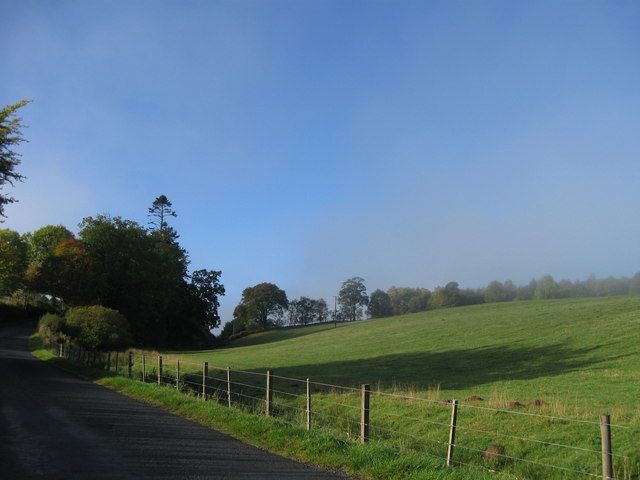
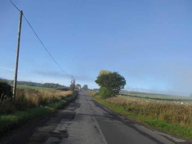
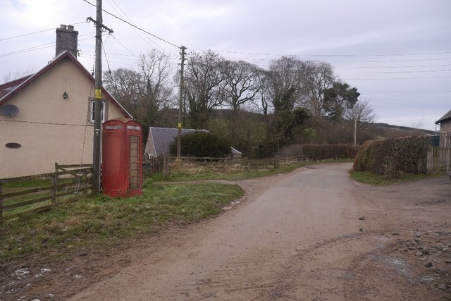
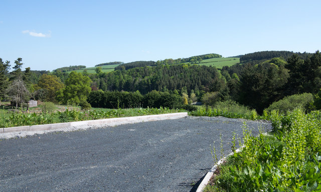
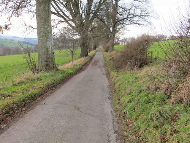
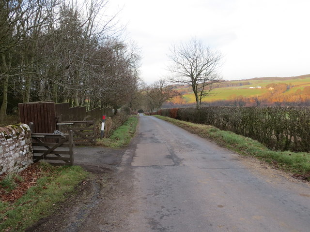
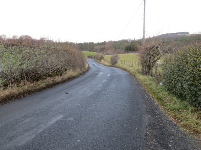
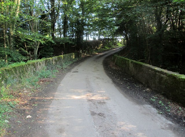
School Wood is a captivating forest located in Roxburghshire, a county in the Scottish Borders region of Scotland. It covers an area of approximately 100 acres and is situated on the outskirts of the charming village of Roxburgh. The wood is easily accessible, lying just off the A68 road, making it a popular destination for locals and tourists alike.

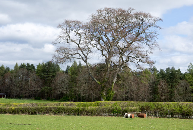
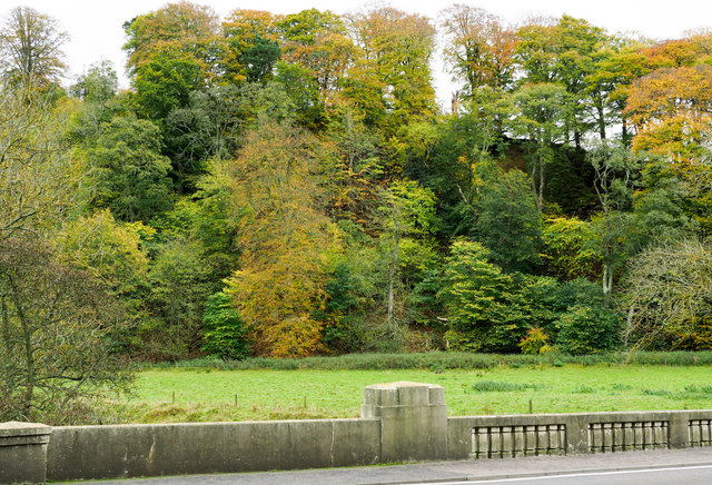
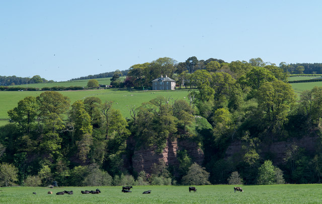
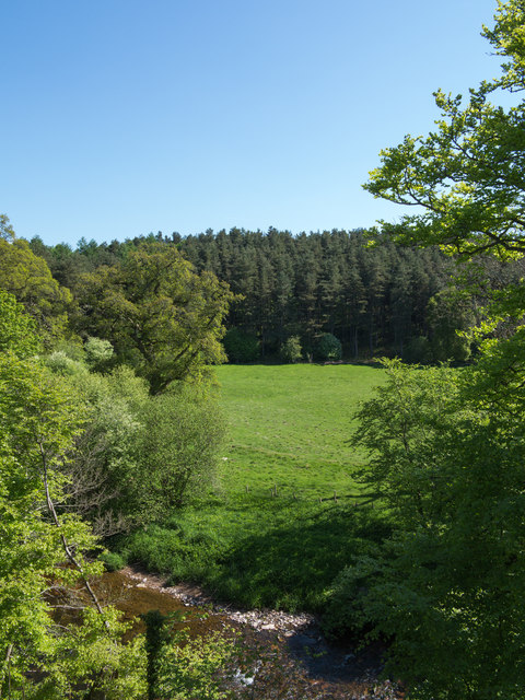
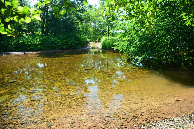
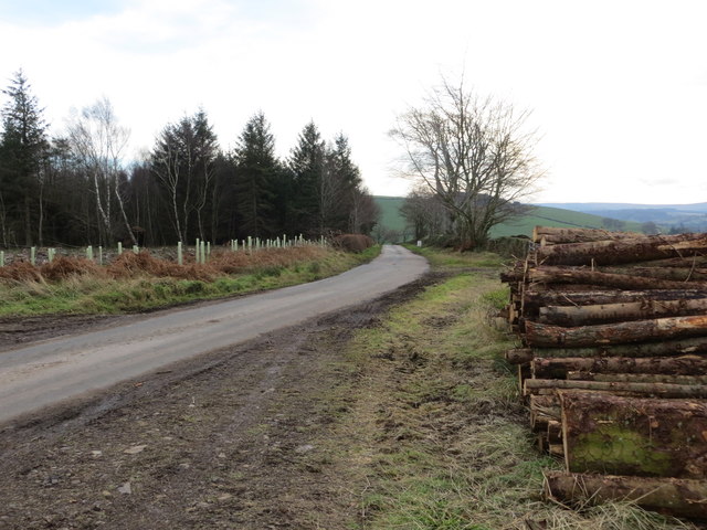
The forest is a mix of both deciduous and coniferous trees, creating a diverse and picturesque landscape. It is home to a wide range of flora and fauna, including oak, birch, beech, and pine trees. The forest floor is covered in a thick carpet of mosses, ferns, and wildflowers, adding to its natural beauty.

School Wood offers a range of recreational activities for visitors to enjoy. There are several well-maintained walking trails that wind through the forest, allowing visitors to immerse themselves in the serene surroundings. These trails cater to all fitness levels, from gentle strolls to more challenging hikes for the adventurous.

The forest also provides a habitat for an array of wildlife. Birdwatchers can spot a variety of species, including woodpeckers, owls, and buzzards. Small mammals such as deer, foxes, and rabbits can also be seen in the wood. Nature enthusiasts can enjoy observing these creatures in their natural habitat.

For those seeking a tranquil retreat or a place to reconnect with nature, School Wood in Roxburghshire is a perfect choice. Its stunning scenery, diverse wildlife, and well-maintained trails make it an idyllic destination for all nature lovers to explore and appreciate.

If you have any feedback on the listing, please let us know in the comments section below.

School Wood Images

Images are sourced within 2km of 55.447015/-2.5540461 or Grid Reference NT6517. Thanks to Geograph Open Source API. All images are credited.

Road, farmland
Road, farmland
B6357 southbound
B6357 southbound
River cliff by Jed Water From Jed Water Caravan Park.
River cliff by Jed Water
From Jed Water Caravan Park.
Linthaugh Cottage
Linthaugh Cottage
Hedges and oil drums The A68 runs between the two hedge lines. The oil drums appear to be part of a jump for horses - there are other similar things in the field.
Hedges and oil drums
The A68 runs between the two hedge lines. The oil drums appear to be part of a jump for horses - there are other similar things in the field.
Deciduous woodland on slope beyond Hundalee Bridge The trees are on a steep slope with exposed rock. One of the parapets of Hundalee Bridge is in the foreground.
Deciduous woodland on slope beyond Hundalee Bridge
The trees are on a steep slope with exposed rock. One of the parapets of Hundalee Bridge is in the foreground.
Telephone box, Mossburnford
Sandstone crag above Jed Water The crag is seen across a field with cattle, descending from the A68 a few kilometres south of Jedburgh.
Sandstone crag above Jed Water
The crag is seen across a field with cattle, descending from the A68 a few kilometres south of Jedburgh.
A road going nowhere A curious stretch of road! It's broad as it leaves the A68 to the west but it ends within perhaps 30 metres of the junction and the height of the kerbstones and roughness of surface shows that no 'black top' has been applied. Beyond the road end a slope descends so steeply towards the Jed Water that is seems unlikely that it would continue directly in that direction.
A road going nowhere
A curious stretch of road! It's broad as it leaves the A68 to the west but it ends within perhaps 30 metres of the junction and the height of the kerbstones and roughness of surface shows that no 'black top' has been applied. Beyond the road end a slope descends so steeply towards the Jed Water that is seems unlikely that it would continue directly in that direction.
Jed Water below the A68 The river, Jed Water, flowing below a steep slope just south of Jedburgh.
Jed Water below the A68
The river, Jed Water, flowing below a steep slope just south of Jedburgh.
Mossburn Ford Mossburn Ford is found on Jed Water.
Mossburn Ford
Mossburn Ford is found on Jed Water.
Minor road heading in the direction of Mossburnford Looking south-westward.
Minor road heading in the direction of Mossburnford
Looking south-westward.
Harvested timber awaiting beside a road near to Mossburnfoot for onward transportation Looking south-eastward.
Harvested timber awaiting beside a road near to Mossburnfoot for onward transportation
Looking south-eastward.
The end of a minor road at Kersheugh Farm Looking south-westward.
The end of a minor road at Kersheugh Farm
Looking south-westward.
Minor road beside Bairnkine Plantation Looking northward.
Minor road beside Bairnkine Plantation
Looking northward.
Hedge-lined minor road at Bairnkine Looking southward.
Hedge-lined minor road at Bairnkine
Looking southward.
Road (B6357) near Lintalee Looking north-eastward towards the A68.
Road (B6357) near Lintalee
Looking north-eastward towards the A68.
Bridge  on  access  road  from  Hundalee  Farm There is a date stone 1971 on the left hand side, I presume that this replaced a previous bridge
Bridge on access road from Hundalee Farm
There is a date stone 1971 on the left hand side, I presume that this replaced a previous bridge
Show me another place!

School Wood is located at Grid Ref: NT6517 (Lat: 55.447015, Lng: -2.5540461)

Unitary Authority: The Scottish Borders

Police Authority: The Lothians and Scottish Borders

What 3 Words

///rooting.molars.airfields. Near Jedburgh, Scottish Borders

Related Wikis

Ferniehirst Castle

Ferniehirst Castle (sometimes spelled Ferniehurst) is an L-shaped construction on the east bank of the Jed Water, about a mile and a half south of Jedburgh...

Bairnkine

Bairnkine is a hamlet on the Jed Water in the Scottish Borders area of Scotland, on the A68, south of Jedburgh. Other places nearby include Abbotrule,...

Jedforest

Jedforest is an historic forest in the Scottish Borders, that has been heavily wooded in the past. It is close to Jed Water and the town of Jedburgh, from...

Capon Oak Tree

The Capon Oak Tree is one of the last surviving trees of the ancient Jedforest, close to Jed Water, a small river which has cut a course below soft sandstone...

Nearby Amenities

Located within 500m of 55.447015,-2.5540461
Ferniehurst Mill
Source Location: Bing
Source Name: survey (sign at end of driveway)
Tourism: guest_house
Website: http://www.ferniehirstmill.co.uk/
Lat/Long: 55.4464847/-2.5478052
Power: pole
Lat/Long: 55.4470987/-2.5474528
Power: pole
Lat/Long: 55.4473587/-2.546705
Ferniehirst Mill
Place: hamlet
Lat/Long: 55.4462708/-2.5476455
Glendouglas School
Place: hamlet
Lat/Long: 55.4456139/-2.5529701
Glendouglas
Place: hamlet
Lat/Long: 55.4507513/-2.5506576
Little Dean
Place: locality
Lat/Long: 55.4486418/-2.5472295
Material: wood
Power: pole
Lat/Long: 55.4461279/-2.5501819
Material: wood
Power: pole
Lat/Long: 55.4458884/-2.5508411
Material: wood
Power: pole
Lat/Long: 55.4454955/-2.5519458
Material: wood
Power: pole
Lat/Long: 55.4455963/-2.5523964
Power: pole
Lat/Long: 55.4456255/-2.5530968
The data included in this document is from www.openstreetmap.org. The data is made available under ODbL.

Have you been to School Wood?

Leave your review of School Wood below (or comments, questions and feedback).