Ferniehirst Castle

Heritage Site in Roxburghshire

Scotland

Ferniehirst Castle

Road, farmland
Road, farmland Credit: Alex McGregor

Ferniehirst Castle is a historic fortress located in the scenic countryside of Roxburghshire, Scotland. Recognized as a heritage site, this imposing castle holds great significance in the region's history.

Believed to have been established in the 14th century, Ferniehirst Castle stands as a testament to the architectural prowess of that era. The castle's design showcases a harmonious blend of medieval and Renaissance elements, with its distinctive square tower and fortified walls. Over the centuries, the castle underwent several renovations and additions, resulting in a unique amalgamation of architectural styles.

Ferniehirst Castle played a prominent role in the tumultuous history of the Scottish Borders. It served as a stronghold for the powerful Kerr family, who were influential Border Reivers during the 16th and 17th centuries. The castle's strategic location near the English border made it a target for frequent attacks and sieges.

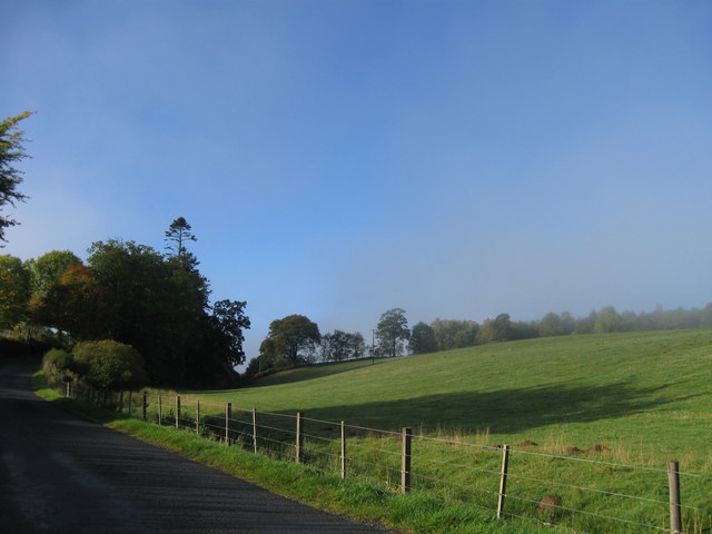
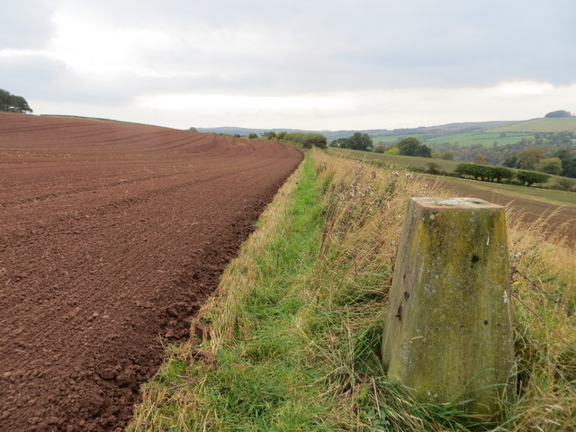
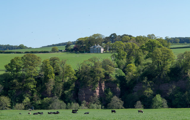
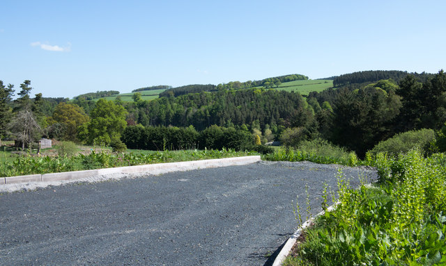
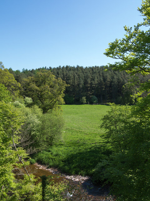
Today, Ferniehirst Castle stands as a captivating reminder of Scotland's past. Visitors can explore the castle's well-preserved interiors, which house a wealth of historical artifacts and period furnishings. The castle's expansive grounds offer picturesque views of the surrounding landscape, providing an opportunity for leisurely walks and photography.

Guided tours are available to visitors, providing insights into the castle's rich history and offering a glimpse into the lives of its former inhabitants. With its captivating architecture and historical significance, Ferniehirst Castle is a must-visit destination for history enthusiasts and those seeking to immerse themselves in Scotland's fascinating past.

If you have any feedback on the listing, please let us know in the comments section below.

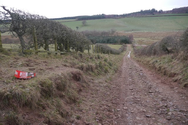
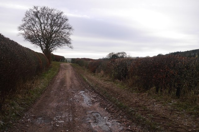
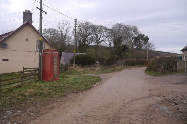
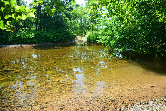
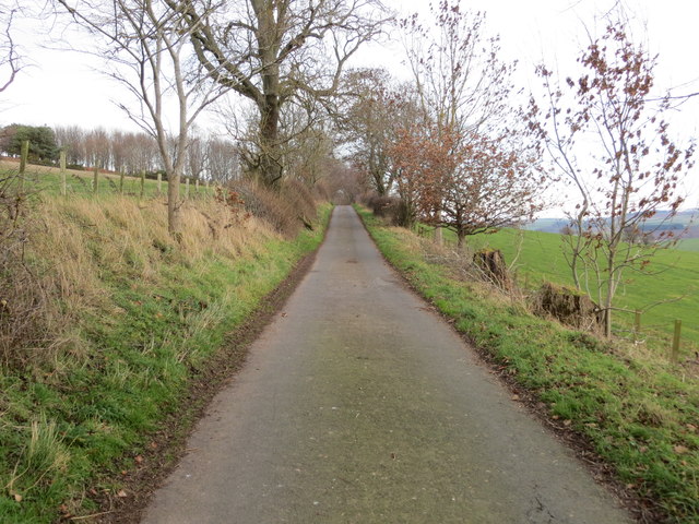
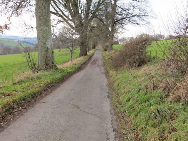
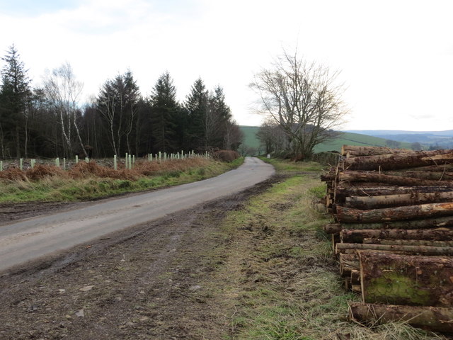
Ferniehirst Castle Images

Images are sourced within 2km of 55.45/-2.545 or Grid Reference NT6517. Thanks to Geograph Open Source API. All images are credited.

Road, farmland
Road, farmland
Field edge view from Howden Triangulation Pillar Looking south-westward.
Field edge view from Howden Triangulation Pillar
Looking south-westward.
River cliff by Jed Water From Jed Water Caravan Park.
River cliff by Jed Water
From Jed Water Caravan Park.
Linthaugh Cottage
Linthaugh Cottage
Hedges and oil drums The A68 runs between the two hedge lines. The oil drums appear to be part of a jump for horses - there are other similar things in the field.
Hedges and oil drums
The A68 runs between the two hedge lines. The oil drums appear to be part of a jump for horses - there are other similar things in the field.
Autumnal trees at edge of Howdenburn Glen The Howden Burn (of the Howdenburn Glen) is a minor stream entering the Jed Water to the south of Jedburgh. The houses beyond are of course in the town.
Autumnal trees at edge of Howdenburn Glen
The Howden Burn (of the Howdenburn Glen) is a minor stream entering the Jed Water to the south of Jedburgh. The houses beyond are of course in the town.
Deciduous woodland on slope beyond Hundalee Bridge The trees are on a steep slope with exposed rock. One of the parapets of Hundalee Bridge is in the foreground.
Deciduous woodland on slope beyond Hundalee Bridge
The trees are on a steep slope with exposed rock. One of the parapets of Hundalee Bridge is in the foreground.
Peel Clumps A circular oak wood surrounded by an earth wall.
Peel Clumps
A circular oak wood surrounded by an earth wall.
Oxnam to Mossburnford road A steep section, used as a field access route.
Oxnam to Mossburnford road
A steep section, used as a field access route.
Oxnam to Mossburnford road Approaching Mossburnford on a farm road. Looks muddy, but today it was frozen solid.
Oxnam to Mossburnford road
Approaching Mossburnford on a farm road. Looks muddy, but today it was frozen solid.
Telephone box, Mossburnford
Sandstone crag above Jed Water The crag is seen across a field with cattle, descending from the A68 a few kilometres south of Jedburgh.
Sandstone crag above Jed Water
The crag is seen across a field with cattle, descending from the A68 a few kilometres south of Jedburgh.
A road going nowhere A curious stretch of road! It's broad as it leaves the A68 to the west but it ends within perhaps 30 metres of the junction and the height of the kerbstones and roughness of surface shows that no 'black top' has been applied. Beyond the road end a slope descends so steeply towards the Jed Water that is seems unlikely that it would continue directly in that direction.
A road going nowhere
A curious stretch of road! It's broad as it leaves the A68 to the west but it ends within perhaps 30 metres of the junction and the height of the kerbstones and roughness of surface shows that no 'black top' has been applied. Beyond the road end a slope descends so steeply towards the Jed Water that is seems unlikely that it would continue directly in that direction.
Jed Water below the A68 The river, Jed Water, flowing below a steep slope just south of Jedburgh.
Jed Water below the A68
The river, Jed Water, flowing below a steep slope just south of Jedburgh.
Mossburn Ford Mossburn Ford is found on Jed Water.
Mossburn Ford
Mossburn Ford is found on Jed Water.
Minor road approaching Violet Strip Looking north-eastward.
Minor road approaching Violet Strip
Looking north-eastward.
Minor road heading in the direction of Mossburnford Looking south-westward.
Minor road heading in the direction of Mossburnford
Looking south-westward.
Harvested timber awaiting beside a road near to Mossburnfoot for onward transportation Looking south-eastward.
Harvested timber awaiting beside a road near to Mossburnfoot for onward transportation
Looking south-eastward.
Show me another place!

Ferniehirst Castle is located at Grid Ref: NT6517 (Lat: 55.45, Lng: -2.545)

Unitary Authority: The Scottish Borders

Police Authority: The Lothians and Scottish Borders

What 3 Words

///news.cove.failed. Near Jedburgh, Scottish Borders

Related Wikis

Ferniehirst Castle

Ferniehirst Castle (sometimes spelled Ferniehurst) is an L-shaped construction on the east bank of the Jed Water, about a mile and a half south of Jedburgh...
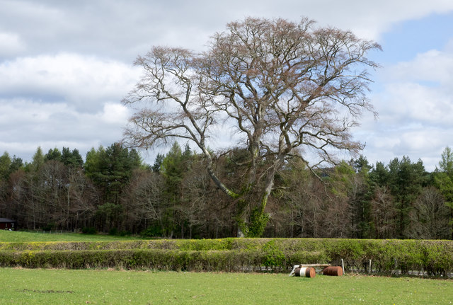
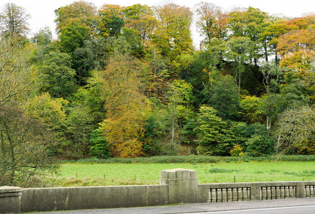
Jedforest

Jedforest is an historic forest in the Scottish Borders, that has been heavily wooded in the past. It is close to Jed Water and the town of Jedburgh, from...
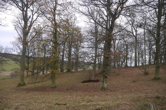
Capon Oak Tree

The Capon Oak Tree is one of the last surviving trees of the ancient Jedforest, close to Jed Water, a small river which has cut a course below soft sandstone...
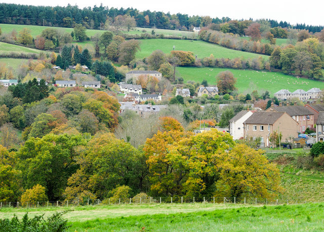
Bairnkine

Bairnkine is a hamlet on the Jed Water in the Scottish Borders area of Scotland, on the A68, south of Jedburgh. Other places nearby include Abbotrule,...

Related Videos

Uncover captivating stories within these historic walls📜🗝️ #scotland #travel #shorts #viral

Embark on a Historical Journey at Jedburgh Castle Jail & Museum! 🗝️ Immerse yourself in Scotland's rich heritage as we ...

Journey in the castle's living room📜🏰| Ferniehirst Castle #scotland #shorts #travel #jedburgh

Embark on a captivating journey with me as we explore the enchanting Ferniehirst Castle, unraveling the mysteries hidden within ...

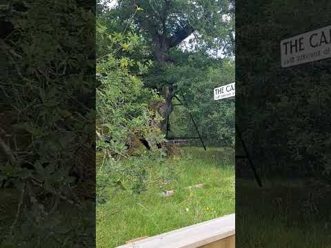
The Hidden Secret of Scotland's Jedforest🌲| The Capon Tree Jedburgh #scotland #viral #travel

The majestic Capon Oak Tree stands as a resilient testament to the enduring legacy of the ancient Scottish Jedforest. Nestled ...

Exploring Castle Grounds 🌳🚶‍♂️| Ferniehirst Castle Jedburgh, Scotland #scotland #viral #travel

Embark on a fascinating adventure through the halls of history at Ferniehirst Castle in Jedburgh, Scotland. Discover the castle's ...

Nearby Amenities

Located within 500m of 55.45,-2.545
Ferniehurst Mill
Source Location: Bing
Source Name: survey (sign at end of driveway)
Tourism: guest_house
Website: http://www.ferniehirstmill.co.uk/
Lat/Long: 55.4464847/-2.5478052
Power: pole
Lat/Long: 55.4470987/-2.5474528
Power: pole
Lat/Long: 55.4473587/-2.546705
Power: pole
Lat/Long: 55.4476349/-2.5459687
Power: pole
Lat/Long: 55.4477444/-2.5393368
Power: pole
Lat/Long: 55.4479633/-2.5450157
Power: pole
Lat/Long: 55.4482972/-2.5441144
Power: pole
Lat/Long: 55.4483472/-2.540313
Power: pole
Lat/Long: 55.4489394/-2.5412296
Power: pole
Lat/Long: 55.4489548/-2.5431898
Power: pole
Lat/Long: 55.4495871/-2.5423103
Power: pole
Lat/Long: 55.4503751/-2.5435695
Power: pole
Lat/Long: 55.4510797/-2.5446893
Power: pole
Lat/Long: 55.4517691/-2.5458973
Power: pole
Lat/Long: 55.4521867/-2.5465531
Ferniehirst Mill
Place: hamlet
Lat/Long: 55.4462708/-2.5476455
Glendouglas
Place: hamlet
Lat/Long: 55.4507513/-2.5506576
Barrier: fence
Note: Was a gate, surveyed and gate is boarded up
Lat/Long: 55.4479314/-2.5461299
Little Dean
Place: locality
Lat/Long: 55.4486418/-2.5472295
Muckle Dean
Place: locality
Lat/Long: 55.4506711/-2.5447458
Barrier: stile
Lat/Long: 55.4509113/-2.5456993
Barrier: stile
Material: wood
Stile: stepover
Lat/Long: 55.4482382/-2.5440861
Power: pole
Lat/Long: 55.4543125/-2.5461808
Power: pole
Lat/Long: 55.4537018/-2.5469063
Power: pole
Lat/Long: 55.4524355/-2.5496864
Power: pole
Lat/Long: 55.4528127/-2.5488228
Power: pole
Lat/Long: 55.4534364/-2.5487369
Power: pole
Lat/Long: 55.4530987/-2.5481361
Power: pole
Lat/Long: 55.452618/-2.5472617
The data included in this document is from www.openstreetmap.org. The data is made available under ODbL.

Have you been to Ferniehirst Castle?

Leave your review of Ferniehirst Castle below (or comments, questions and feedback).