Newbigging Belt

Wood, Forest in Kincardineshire

Scotland

Newbigging Belt

Ready to sow fields A field already for this years crops
Ready to sow fields Credit: Ralph Greig

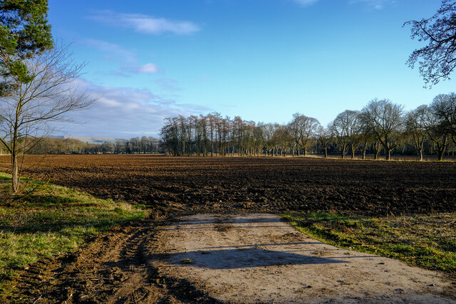
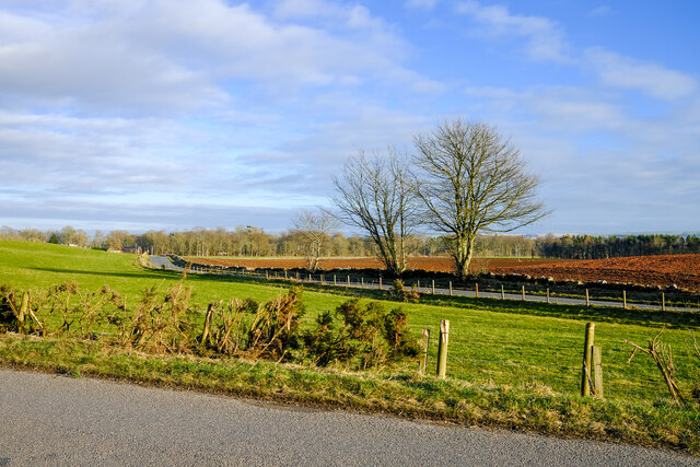
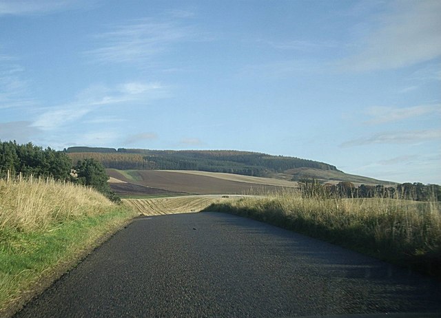
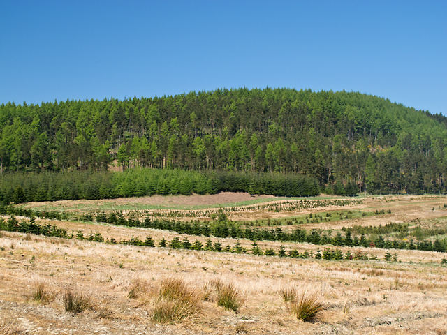
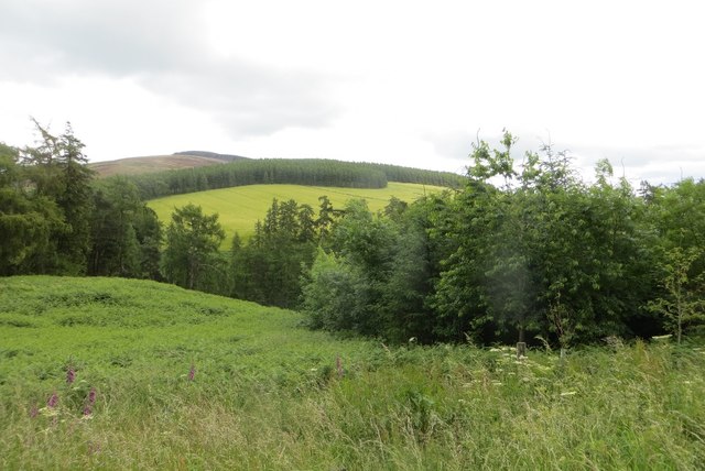
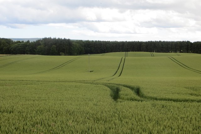
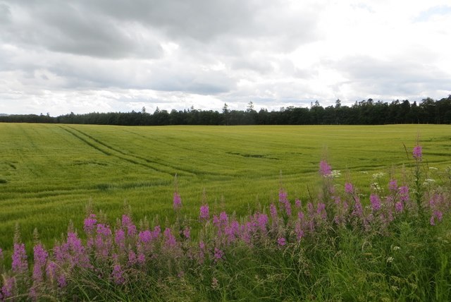
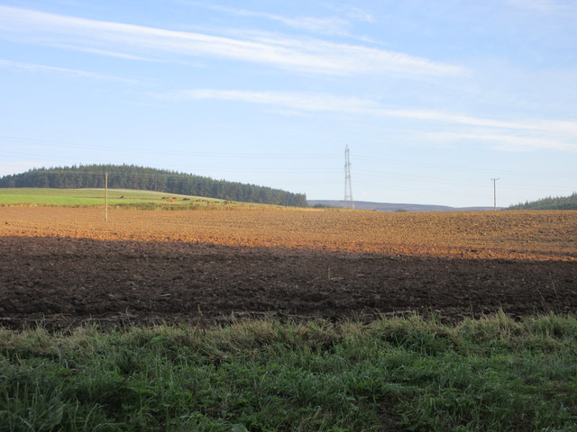
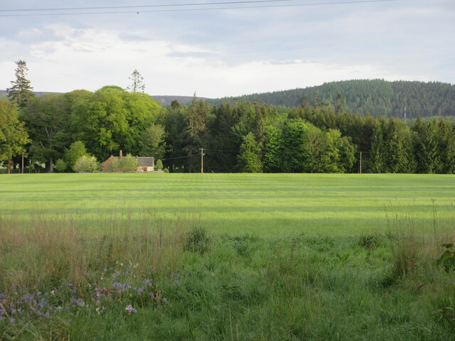
Newbigging Belt is a charming wood located in the county of Kincardineshire, Scotland. Situated near the town of Newbigging, this forested area covers an approximate area of 200 acres. It is nestled between rolling hills and offers stunning views of the surrounding countryside.

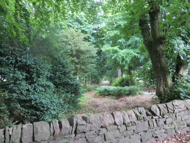
The wood is primarily composed of native broadleaf trees, including oak, beech, and birch. These trees create a diverse ecosystem, providing a habitat for various wildlife species such as red squirrels, roe deer, and a variety of birds. The forest floor is adorned with a carpet of wildflowers and ferns, adding to the natural beauty of the area.

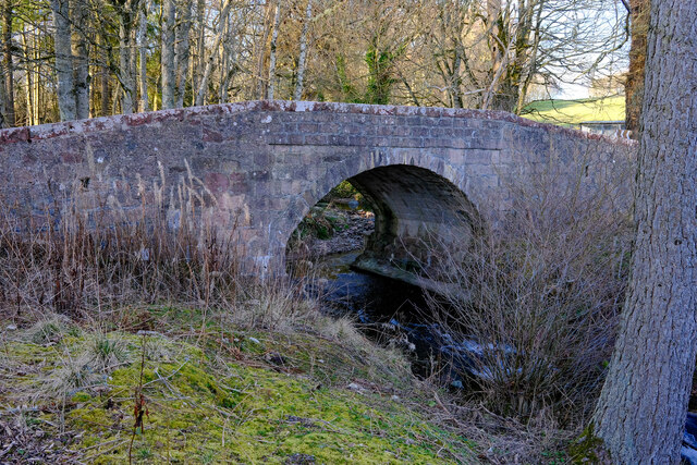
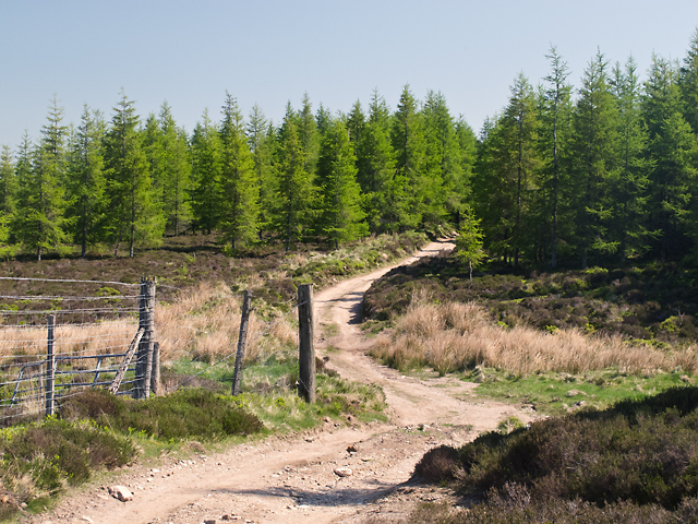
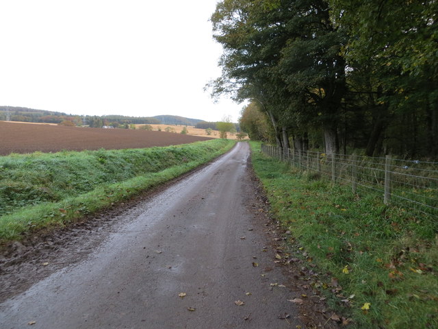
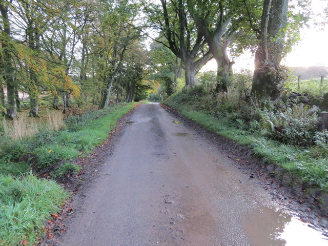
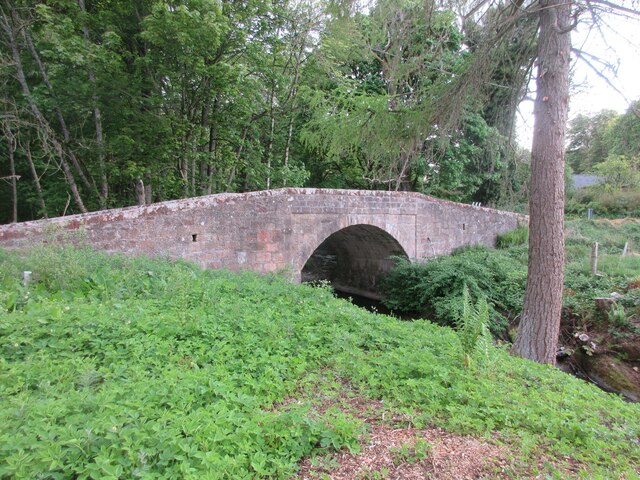
Newbigging Belt boasts several well-maintained walking trails, making it a popular destination for nature enthusiasts and hikers alike. Visitors can explore the wood's network of paths, which lead to hidden glens, serene ponds, and picturesque viewpoints. Along the way, informative signage provides interesting facts about the local flora and fauna, enhancing the educational value of the experience.

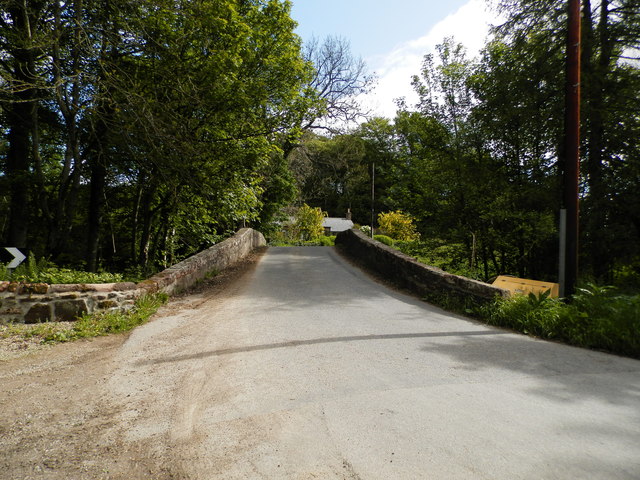
For those seeking a peaceful retreat, Newbigging Belt offers designated picnic areas, where visitors can relax and enjoy the tranquil surroundings. The wood also has a small parking area, ensuring convenient access for visitors arriving by car.

Overall, Newbigging Belt is a scenic and ecologically diverse woodland that offers a delightful escape from the hustle and bustle of everyday life. With its well-maintained trails, stunning views, and abundant wildlife, it provides a perfect opportunity to immerse oneself in nature and enjoy the beauty of Kincardineshire.

If you have any feedback on the listing, please let us know in the comments section below.

Newbigging Belt Images

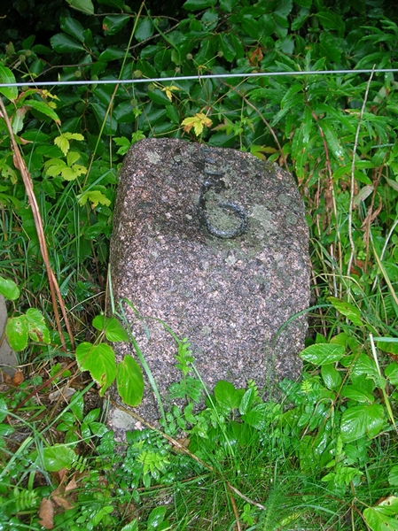
Images are sourced within 2km of 56.878035/-2.5802804 or Grid Reference NO6476. Thanks to Geograph Open Source API. All images are credited.

Ready to sow fields A field already for this years crops
Ready to sow fields
A field already for this years crops
Craigmoston Bridge The bridge over the Craigmoston Burn
Craigmoston Bridge
The bridge over the Craigmoston Burn
Two roads and a field Just a simple roadside view of this square
Two roads and a field
Just a simple roadside view of this square
Covered reservoir On hunters hill
Covered reservoir
On hunters hill
B974 by Bank of Gallowhillston On road between Fettercairn and Banchory.
B974 by Bank of Gallowhillston
On road between Fettercairn and Banchory.
Brunt Hill Agricultural land on the lower slopes of Brunt Hill, with Garrol Wood visible in the distance.
Brunt Hill
Agricultural land on the lower slopes of Brunt Hill, with Garrol Wood visible in the distance.
Track on Brunt Hill A track to the north of Brunt Hill - this leads onto the hillside in the vicinity of Hound Hillock 2km distant.
Track on Brunt Hill
A track to the north of Brunt Hill - this leads onto the hillside in the vicinity of Hound Hillock 2km distant.
Craigmoston Bridge
Craigmoston Bridge
Above the Devilly Burn View towards Strathfinella Hill from the B974.
Above the Devilly Burn
View towards Strathfinella Hill from the B974.
Wheat field, Boghall Near Fettercairn, Kincardineshire.
Wheat field, Boghall
Near Fettercairn, Kincardineshire.
Barley, Craigmoston Arable land near Fettercairn.
Barley, Craigmoston
Arable land near Fettercairn.
Road to Fettercairn House Within a strip wood.
Road to Fettercairn House
Within a strip wood.
Old Milestone by the B974, Cairn O'Mount Road, Craigmoston Aberdeen granite by the B974, in parish of Fordun (Aberdeen District), Craigmoston.

Inscription reads:-
6
(To Edzell)

Surveyed

Milestone Society National ID: AD_FTBN06
Old Milestone by the B974, Cairn O'Mount Road, Craigmoston
Aberdeen granite by the B974, in parish of Fordun (Aberdeen District), Craigmoston. Inscription reads:- 6 (To Edzell) Surveyed Milestone Society National ID: AD_FTBN06
Ploughed field at Thainston Ploughed field between Nether and Upper Thainston.
Ploughed field at Thainston
Ploughed field between Nether and Upper Thainston.
Start of a track at Nether Thainston that gives access to Fasque Looking north-eastward.
Start of a track at Nether Thainston that gives access to Fasque
Looking north-eastward.
Tree-lined track between Nether Thainston and Fasque Looking eastward towards North Lodge.
Tree-lined track between Nether Thainston and Fasque
Looking eastward towards North Lodge.
Field at Fasque Green field off the B974 near the Mains of Fasque.
Field at Fasque
Green field off the B974 near the Mains of Fasque.
Craigmoston Bridge The hump-backed Craigmoston Bridge viewed from the south.
Craigmoston Bridge
The hump-backed Craigmoston Bridge viewed from the south.
Show me another place!

Newbigging Belt is located at Grid Ref: NO6476 (Lat: 56.878035, Lng: -2.5802804)

Unitary Authority: Aberdeenshire

Police Authority: North East

What 3 Words

///price.blacked.functions. Near Laurencekirk, Aberdeenshire

Related Wikis

Fasque House

Fasque, also known as Fasque House or Fasque Castle, is a mansion in Aberdeenshire, Scotland, situated near the village of Fettercairn, in the former county...

Kincardine, Aberdeenshire

Kincardine was a burgh in Scotland, near the present-day village of Fettercairn. It served as the first county town of Kincardineshire. The settlement...

Fettercairn distillery

Fettercairn distillery is a whisky distillery in Fettercairn. Situated under the Grampian foothills in the Howe of Mearns, Fettercairn town’s name is...

Fettercairn

Fettercairn (, Scottish Gaelic: Fothair Chàrdain) is a small village in Aberdeenshire, Scotland, northwest of Laurencekirk in Aberdeenshire on the B966...

Nearby Amenities

Located within 500m of 56.878035,-2.5802804
Power: tower
Lat/Long: 56.8802943/-2.5784646
Power: tower
Lat/Long: 56.8779577/-2.5872204
Power: tower
Lat/Long: 56.8790485/-2.5831329
Power: pole
Lat/Long: 56.8737379/-2.5814257
Power: pole
Lat/Long: 56.8744215/-2.5821207
Power: pole
Lat/Long: 56.8750937/-2.582801
Power: pole
Lat/Long: 56.8757716/-2.5834812
Power: pole
Lat/Long: 56.876423/-2.5841383
The data included in this document is from www.openstreetmap.org. The data is made available under ODbL.

Have you been to Newbigging Belt?

Leave your review of Newbigging Belt below (or comments, questions and feedback).