Bogendollo Belt
Wood, Forest in Kincardineshire
Scotland
Bogendollo Belt
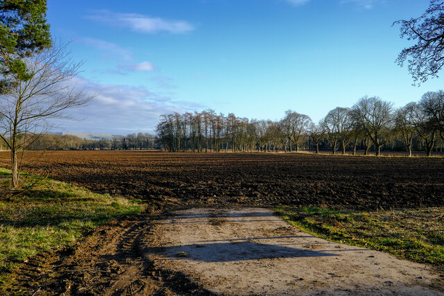
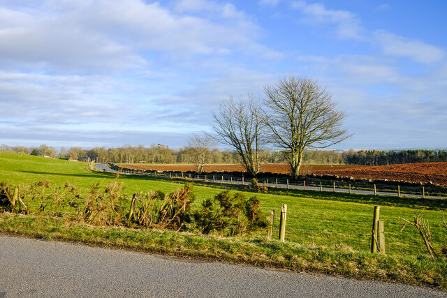
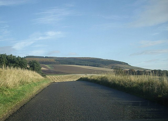
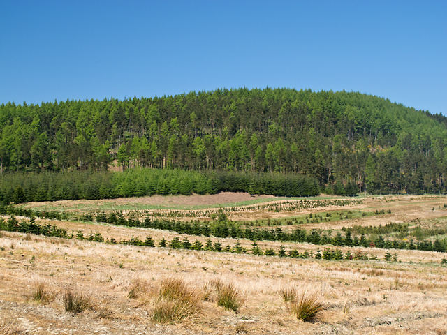
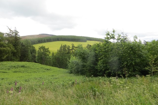
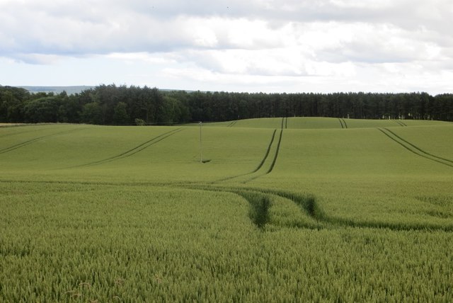
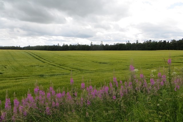
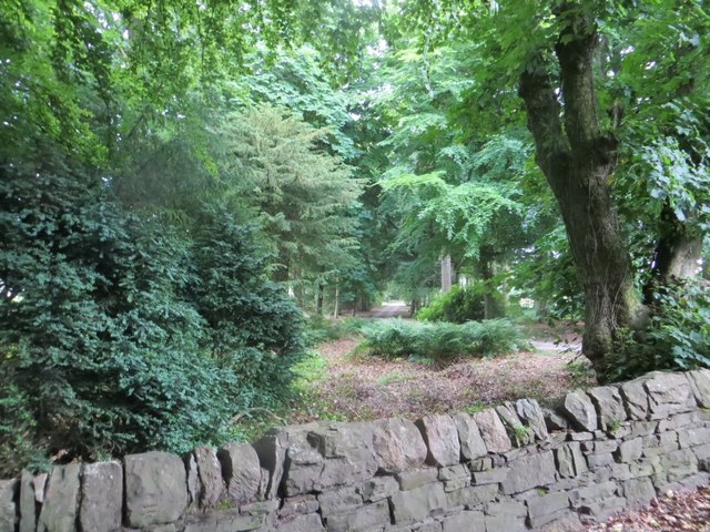
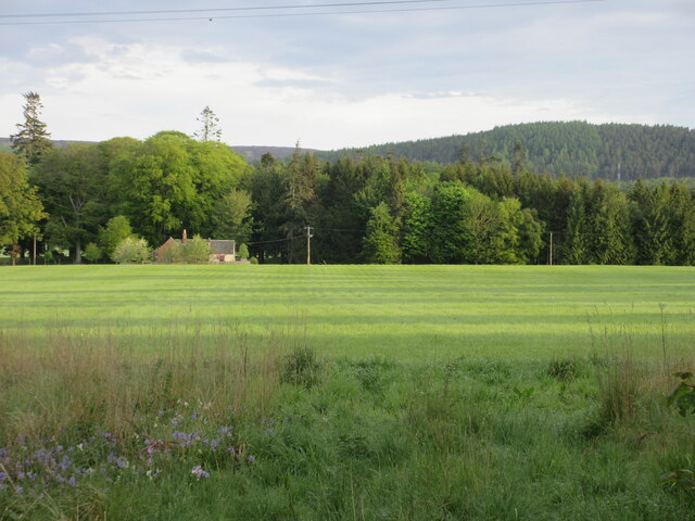
The Bogendollo Belt is a woodland area located in Kincardineshire, Scotland. Covering an approximate area of x hectares, it is a significant natural resource in the region. The belt is situated on the northeastern edge of the Cairngorms National Park, offering a picturesque landscape with a diverse range of flora and fauna.
The woodland predominantly consists of mature mixed deciduous trees, including oak, birch, and beech, providing a rich habitat for various wildlife species. The dense canopy offers shelter and nesting sites for birds such as woodpeckers, owls, and various songbirds. Mammals, including red squirrels, deer, and badgers, can also be spotted within the belt.
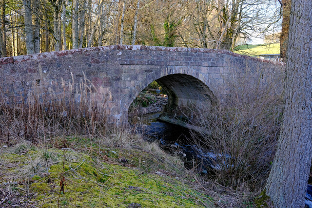
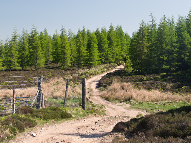
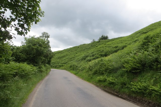
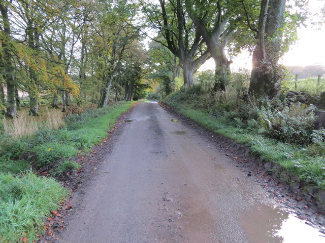
The Bogendollo Belt is crisscrossed by a network of well-maintained footpaths, making it easily accessible for nature enthusiasts and hikers. These trails offer an opportunity to explore the woodland's beauty and observe its natural wonders up close. The area is also popular for recreational activities such as picnicking and nature photography.
In addition to its ecological significance, the Bogendollo Belt plays a crucial role in water catchment and flood prevention. The woodland acts as a natural barrier, reducing surface runoff and soil erosion. It also helps maintain water quality in nearby streams and rivers.
Efforts have been made to preserve and protect the Bogendollo Belt, ensuring its ecological integrity and promoting sustainable management practices. Local conservation organizations, in collaboration with governmental bodies, actively manage the woodland to maintain its biodiversity and support its long-term sustainability.
If you have any feedback on the listing, please let us know in the comments section below.
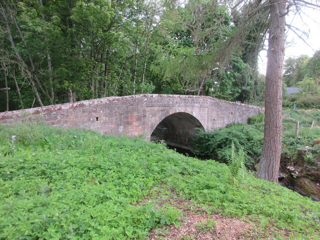
Bogendollo Belt Images
Images are sourced within 2km of 56.878717/-2.5765172 or Grid Reference NO6476. Thanks to Geograph Open Source API. All images are credited.

Bogendollo Belt is located at Grid Ref: NO6476 (Lat: 56.878717, Lng: -2.5765172)
Unitary Authority: Aberdeenshire
Police Authority: North East
What 3 Words
///manliness.fiction.inspected. Near Laurencekirk, Aberdeenshire
Nearby Locations
Related Wikis

Fasque House
Fasque, also known as Fasque House or Fasque Castle, is a mansion in Aberdeenshire, Scotland, situated near the village of Fettercairn, in the former county...

Kincardine, Aberdeenshire
Kincardine was a burgh in Scotland, near the present-day village of Fettercairn. It served as the first county town of Kincardineshire. The settlement...

Fettercairn distillery
Fettercairn distillery is a whisky distillery in Fettercairn. Situated under the Grampian foothills in the Howe of Mearns, Fettercairn town’s name is...

Fettercairn
Fettercairn (, Scottish Gaelic: Fothair Chàrdain) is a small village in Aberdeenshire, Scotland, northwest of Laurencekirk in Aberdeenshire on the B966...
Nearby Amenities
Located within 500m of 56.878717,-2.5765172Have you been to Bogendollo Belt?
Leave your review of Bogendollo Belt below (or comments, questions and feedback).