Pincushion Plantation

Wood, Forest in Roxburghshire

Scotland

Pincushion Plantation

Smailholm Tower From the south west.
'Smailholm Tower is a peel tower at Smailholm, around five miles (8 km) west of Kelso in the Scottish Borders. Its dramatic situation, atop a crag of Lady Hill, commands wide views over the surrounding countryside. 
In June 2007, it was awarded the maximum "five-star" status as a tourist attraction from VisitScotland, a rating bestowed on only eight other sites in Scotland.' <span class="nowrap"><a title="https://en.wikipedia.org/wiki/Smailholm_Tower" rel="nofollow ugc noopener" href="https://en.wikipedia.org/wiki/Smailholm_Tower">Link</a><img style="margin-left:2px;" alt="External link" title="External link - shift click to open in new window" src="https://s1.geograph.org.uk/img/external.png" width="10" height="10"/></span>
Smailholm Tower Credit: Russel Wills

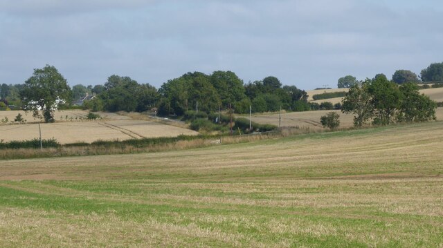
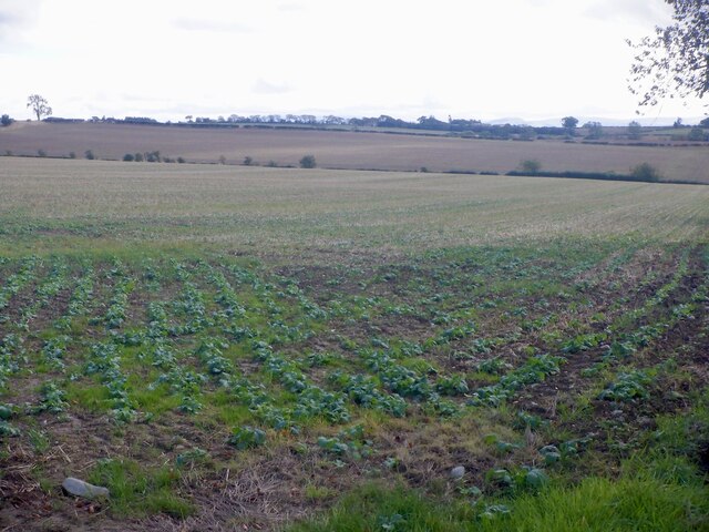
Pincushion Plantation is a picturesque woodland area located in Roxburghshire, Scotland. Spread over an approximate area of 500 acres, it is known for its diverse range of plant and animal species, making it an important ecological site. The plantation is situated in close proximity to the Roxburgh Forest, further adding to its natural beauty.

The woodland is predominantly composed of coniferous trees, including Scots pine, Douglas fir, and Sitka spruce. These trees provide a dense canopy, creating a shaded and tranquil environment within the plantation. Underneath the towering conifers, a variety of native plant species can be found, including bluebells, wild garlic, and ferns.

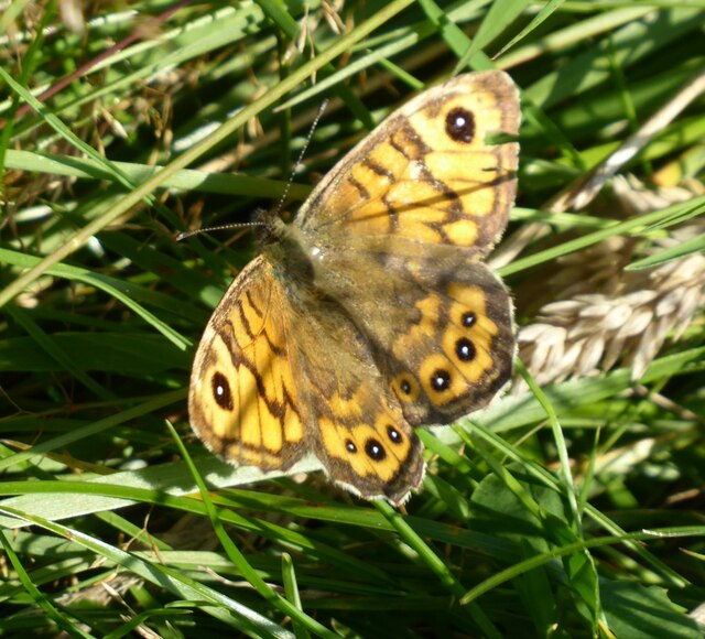
Pincushion Plantation is not only a haven for flora, but it is also home to numerous fauna species. The woodland provides a suitable habitat for various bird species, such as the great spotted woodpecker, tawny owl, and goldcrest. Mammals like red squirrels, roe deer, and badgers are frequently spotted in the area as well.

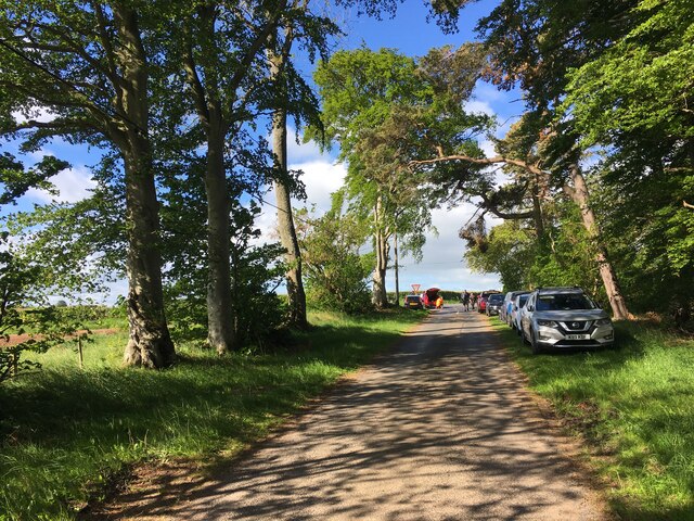
Visitors to Pincushion Plantation can enjoy several walking trails that wind through the woodland, offering stunning views of the surrounding countryside. The plantation also boasts a picnic area, allowing visitors to relax and immerse themselves in the peaceful ambiance of the woodland.

Given its natural beauty and ecological significance, Pincushion Plantation is a popular destination for nature lovers, hikers, and wildlife enthusiasts. It serves as a reminder of the importance of preserving and appreciating the natural wonders that Scotland has to offer.

If you have any feedback on the listing, please let us know in the comments section below.

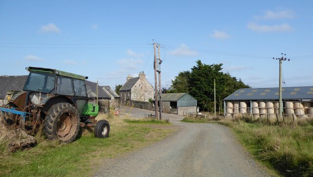
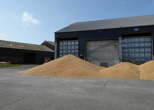
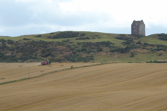
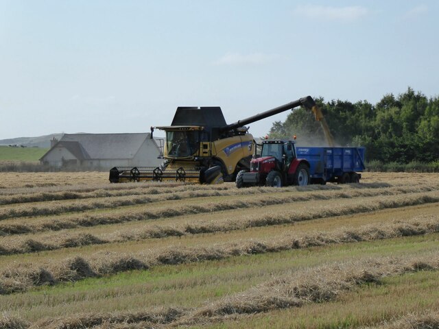
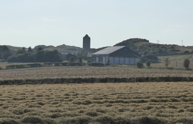
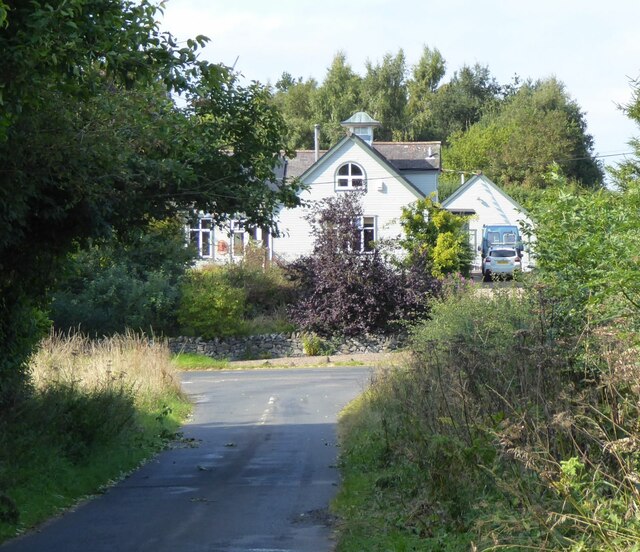
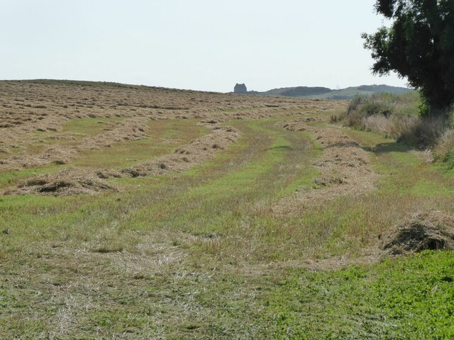
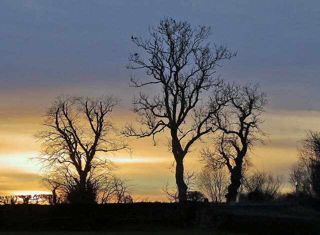
Pincushion Plantation Images

Images are sourced within 2km of 55.60938/-2.5608103 or Grid Reference NT6435. Thanks to Geograph Open Source API. All images are credited.

Smailholm Tower From the south west.
'Smailholm Tower is a peel tower at Smailholm, around five miles (8 km) west of Kelso in the Scottish Borders. Its dramatic situation, atop a crag of Lady Hill, commands wide views over the surrounding countryside. 
In June 2007, it was awarded the maximum "five-star" status as a tourist attraction from VisitScotland, a rating bestowed on only eight other sites in Scotland.' <span class="nowrap"><a title="https://en.wikipedia.org/wiki/Smailholm_Tower" rel="nofollow ugc noopener" href="https://en.wikipedia.org/wiki/Smailholm_Tower">Link</a><img style="margin-left:2px;" alt="External link" title="External link - shift click to open in new window" src="https://s1.geograph.org.uk/img/external.png" width="10" height="10"/></span>
Smailholm Tower
From the south west. 'Smailholm Tower is a peel tower at Smailholm, around five miles (8 km) west of Kelso in the Scottish Borders. Its dramatic situation, atop a crag of Lady Hill, commands wide views over the surrounding countryside. In June 2007, it was awarded the maximum "five-star" status as a tourist attraction from VisitScotland, a rating bestowed on only eight other sites in Scotland.' LinkExternal link
Smailholm Tower from the west Difficult of access!
Smailholm Tower from the west
Difficult of access!
Wall Brown butterfly (Lasiommata megera) On the grass below Smailholm Tower.
Wall Brown butterfly (Lasiommata megera)
On the grass below Smailholm Tower.
Stubble and cylindrical straw bales Near New Smailholm Farm.
Stubble and cylindrical straw bales
Near New Smailholm Farm.
Stubble and uncut cereal crops Approaching Glennewton and Smailholm.
Stubble and uncut cereal crops
Approaching Glennewton and Smailholm.
Sandyknowe Farm The farmhouse and steading of Sandyknowe lie to the east of Smailholm Tower. The site is associated with Sir Walter Scott, who after falling ill as a child, was moved here to the country from Edinburgh.
Sandyknowe was farmed by Scott's grandfather, and it was while he stayed at the farm that Scott was told stories of Border history and folklore by his aunt and grandmother. These had a profound impact on the future writer, inspiring him to write the works of historical romance for which he is renowned.
Sandyknowe Farm
The farmhouse and steading of Sandyknowe lie to the east of Smailholm Tower. The site is associated with Sir Walter Scott, who after falling ill as a child, was moved here to the country from Edinburgh. Sandyknowe was farmed by Scott's grandfather, and it was while he stayed at the farm that Scott was told stories of Border history and folklore by his aunt and grandmother. These had a profound impact on the future writer, inspiring him to write the works of historical romance for which he is renowned.
Cereal piled in the farmyard At Sandyknowe.
Would it be better in a silo?
Cereal piled in the farmyard
At Sandyknowe. Would it be better in a silo?
Baling the straw below Smailholm Tower The crop has been taken and piled at Sandyknowe farm.
See  <a title="https://www.geograph.org.uk/photo/6959114" href="https://www.geograph.org.uk/photo/6959114">Link</a>
Baling the straw below Smailholm Tower
The crop has been taken and piled at Sandyknowe farm. See Link
The last strip of cereal to be combine harvested With Miens Neuk in the background.
The field now awaits the baler!
The last strip of cereal to be combine harvested
With Miens Neuk in the background. The field now awaits the baler!
Fields waiting for the baler After combine harvesting.
Smailholm Tower in the background.
Fields waiting for the baler
After combine harvesting. Smailholm Tower in the background.
Approaching Smailholm village From Over Town and Sandyknowe.
Approaching Smailholm village
From Over Town and Sandyknowe.
Field margin after harvesting Straw still to be collected and baled.
Smailholm Tower is visible from miles around!
Field margin after harvesting
Straw still to be collected and baled. Smailholm Tower is visible from miles around!
Charterhouse Wood A wide strip, recently felled and replanted.
Charterhouse Wood
A wide strip, recently felled and replanted.
Field, Millfield Mertoun Estate.
Field, Millfield
Mertoun Estate.
Winter trees at Smailholm The trees by the B6397 on the southeast side of Smailholm village were viewed from a field boundary.
Winter trees at Smailholm
The trees by the B6397 on the southeast side of Smailholm village were viewed from a field boundary.
Smailholm Tower Viewed against a snow covered Cheviot from the slopes of Brotherstone Hill.
Smailholm Tower
Viewed against a snow covered Cheviot from the slopes of Brotherstone Hill.
Minor road near Mellerstain Mill
Smailholm Tower Quite a trek to reach!
Smailholm Tower
Quite a trek to reach!
Show me another place!

Pincushion Plantation is located at Grid Ref: NT6435 (Lat: 55.60938, Lng: -2.5608103)

Unitary Authority: The Scottish Borders

Police Authority: The Lothians and Scottish Borders

What 3 Words

///adopts.evening.duties. Near Saint Boswells, Scottish Borders

Related Wikis

Smailholm

Smailholm (Scots: Smailhowm) is a small village in the historic county of Roxburghshire in south-east Scotland. It is at grid reference NT648364 and straddles...
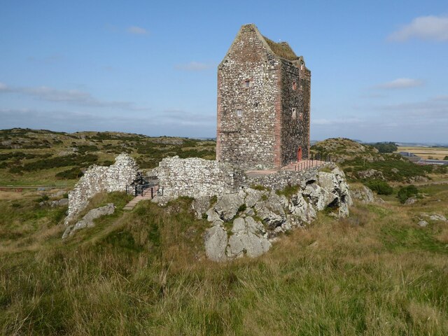
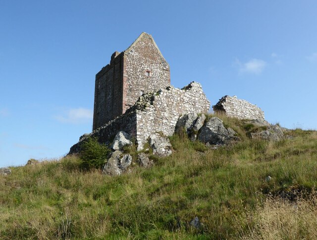
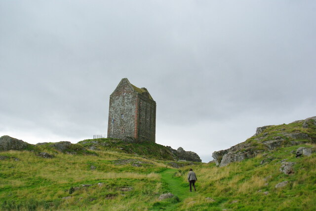
Smailholm Tower

Smailholm Tower is a peel tower at Smailholm, around five miles (8 km) west of Kelso in the Scottish Borders. Its dramatic situation, atop a crag of Lady...
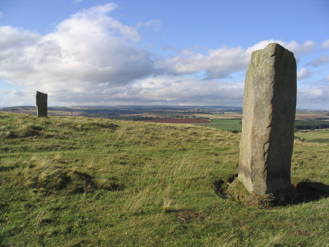
Brotherstone Hill

Brotherstone Hill is a hill near St. Boswells and the Eildon Hills in the Scottish Borders area of Scotland, with two standing stones from the megalithic...

Makerstoun

Makerstoun is a parish in the Scottish Borders area of Scotland, as well as the historic county of Roxburghshire, 4 miles (6 km) south-west of Kelso.The...

Borders Abbeys Way

The Borders Abbeys Way is a long-distance footpath in the Scottish Borders area of Scotland. It is a circular walkway and is 109 kilometres (68 mi) in...

Bemersyde Moss

Bemersyde Moss is a Scottish Wildlife Trust nature reserve and a Site of Special Scientific Interest at Bemersyde in the Scottish Borders area of Scotland...

Nenthorn

Nenthorn is a parish and hamlet in the south of the historic county of Berwickshire in the Scottish Borders area of Scotland. It is included in the Floors...

Mellerstain House

Mellerstain House is a stately home around 8 miles (13 kilometres) north of Kelso in the Borders, Scotland. It is currently the home of George Baillie...

Nearby Amenities

Located within 500m of 55.60938,-2.5608103
Natural: peak
Lat/Long: 55.6101849/-2.5548402
Give Way
Direction: backward
Lat/Long: 55.6093697/-2.5624752
Power: pole
Lat/Long: 55.6056729/-2.5574799
Power: pole
Lat/Long: 55.6062497/-2.5564715
Power: pole
Lat/Long: 55.6066892/-2.5556593
The data included in this document is from www.openstreetmap.org. The data is made available under ODbL.

Have you been to Pincushion Plantation?

Leave your review of Pincushion Plantation below (or comments, questions and feedback).