Greystane Wood
Wood, Forest in Kincardineshire
Scotland
Greystane Wood
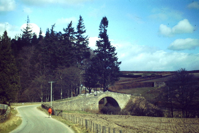
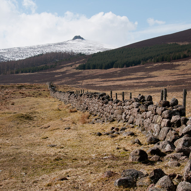
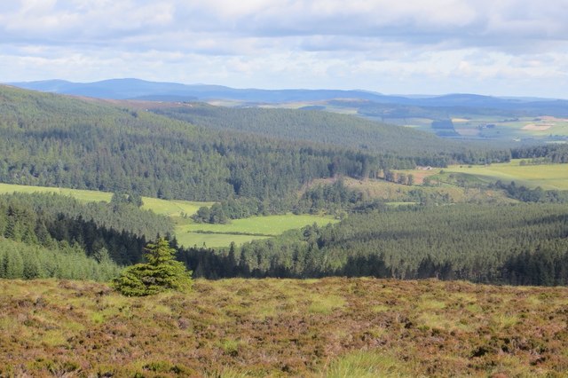
Greystane Wood, located in Kincardineshire, Scotland, is a picturesque forest that boasts a rich history and abundant natural beauty. Spread across an area of approximately 500 acres, this woodland area is a haven for nature enthusiasts and outdoor lovers.
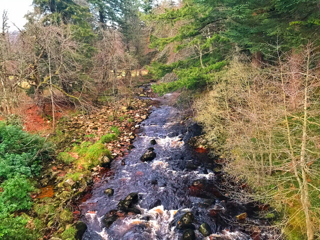
The forest is primarily composed of native broadleaf trees, including oak, birch, and beech, which create a diverse and vibrant ecosystem. The dense canopy of the trees provides shelter for a wide variety of wildlife, including red squirrels, roe deer, and a myriad of bird species, making it a popular spot for birdwatching and animal spotting.
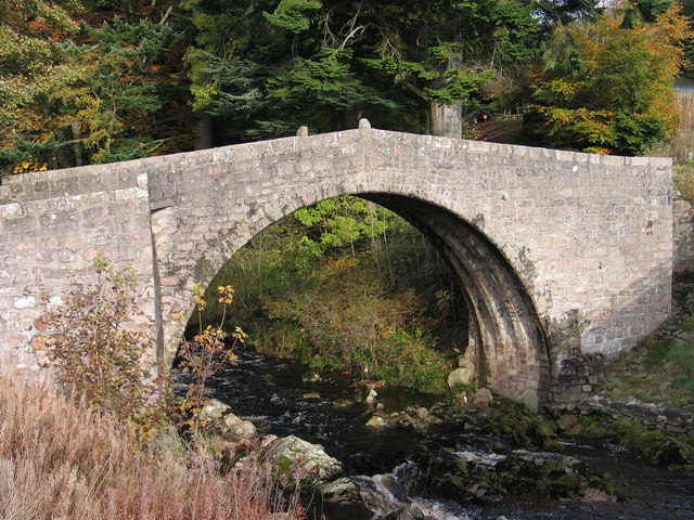
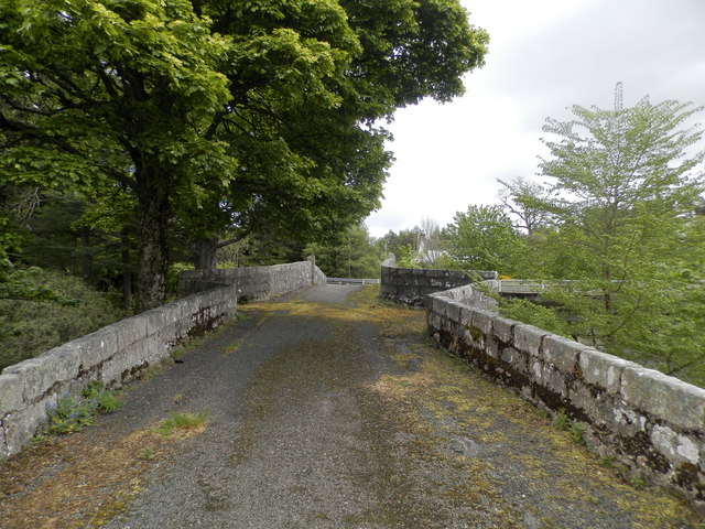
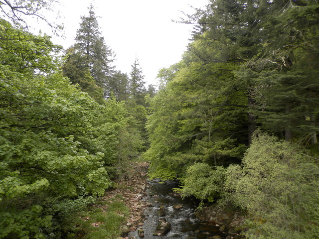
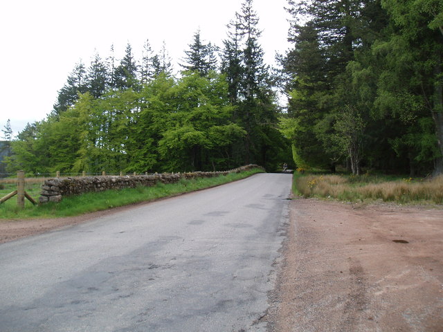
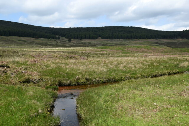
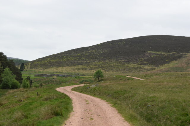
The wood is crisscrossed with a network of well-maintained footpaths, allowing visitors to explore the area and immerse themselves in its tranquil ambiance. These paths wind through the forest, passing by serene streams, wildflower meadows, and ancient ruins, adding an element of intrigue and history to the woodland experience.
One notable feature of Greystane Wood is the presence of a small, secluded loch nestled within its boundaries. This body of water, known as Loch Greystane, offers a peaceful spot for fishing or simply enjoying the scenic views.
The forest is open to the public year-round, and visitors can partake in various recreational activities such as hiking, picnicking, and wildlife photography. Additionally, the wood is well-connected to nearby towns, allowing for easy access and making it a popular destination for both locals and tourists alike.
In summary, Greystane Wood is a captivating woodland area in Kincardineshire, Scotland, offering a blend of natural beauty, historic charm, and recreational opportunities for all who visit.
If you have any feedback on the listing, please let us know in the comments section below.
Greystane Wood Images
Images are sourced within 2km of 56.972516/-2.5820125 or Grid Reference NO6486. Thanks to Geograph Open Source API. All images are credited.


Greystane Wood is located at Grid Ref: NO6486 (Lat: 56.972516, Lng: -2.5820125)
Unitary Authority: Aberdeenshire
Police Authority: North East
What 3 Words
///runs.transcribes.watch. Near Banchory, Aberdeenshire
Nearby Locations
Related Wikis

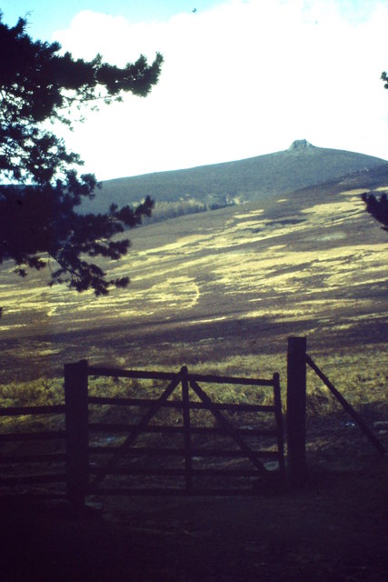
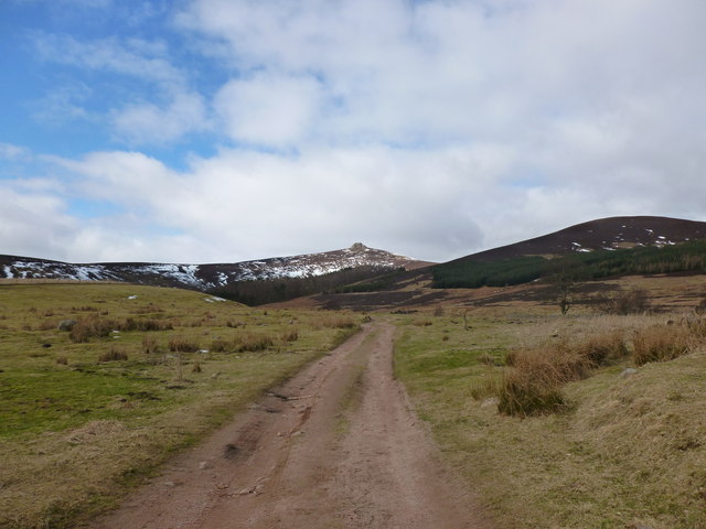
Clachnaben
Clachnaben (archaically "Cloch-na'bain"; Scottish Gaelic: "Clach na Beinne") is a 589-metre hill in Glen Dye, Aberdeenshire, Scotland. It is a distinctive...

Water of Aven
The Water of Aven (or A'an) (Scottish Gaelic: an t-Uisge Bàn) is a tributary of the Water of Feugh, itself the largest tributary of the River Dee, Aberdeenshire...

Easter Clune Castle
Easter Clune Castle is a ruined 16th-century tower house, about 6 miles (9.7 km) south-west of Banchory, Aberdeenshire, Scotland, and south of the Water...

Strachan, Aberdeenshire
Strachan is a village in Aberdeenshire, Scotland that lies along the Water of Feugh, a tributary of the River Dee, Aberdeenshire, a few miles southwest...
Nearby Amenities
Located within 500m of 56.972516,-2.5820125Have you been to Greystane Wood?
Leave your review of Greystane Wood below (or comments, questions and feedback).