Kennel Wood

Wood, Forest in Kincardineshire

Scotland

Kennel Wood

River Dye by Spital Rocky reach of the river below the Bridge of Dye.
River Dye by Spital Credit: Colin Smith

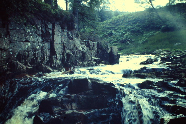
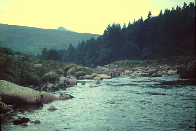
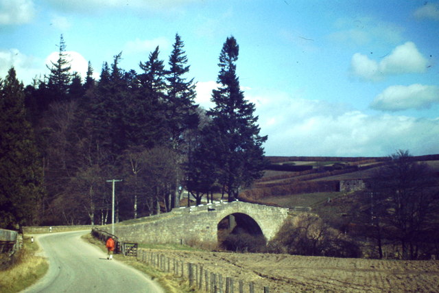
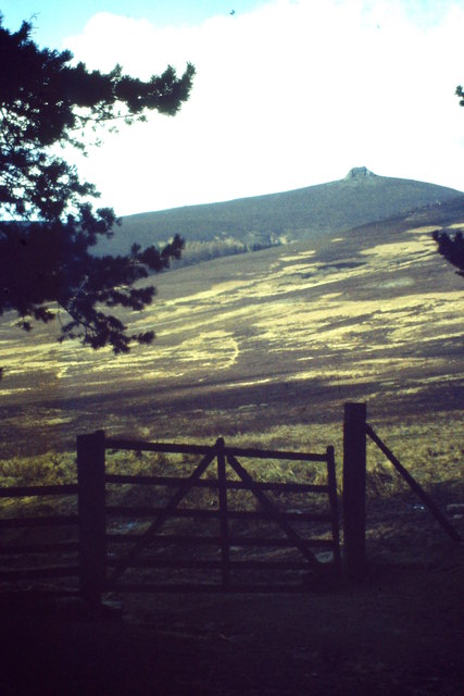
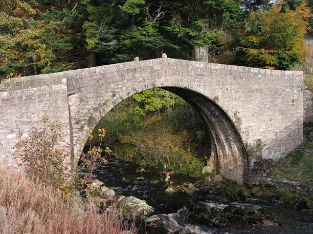
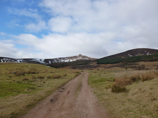
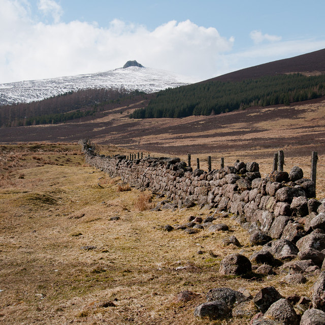
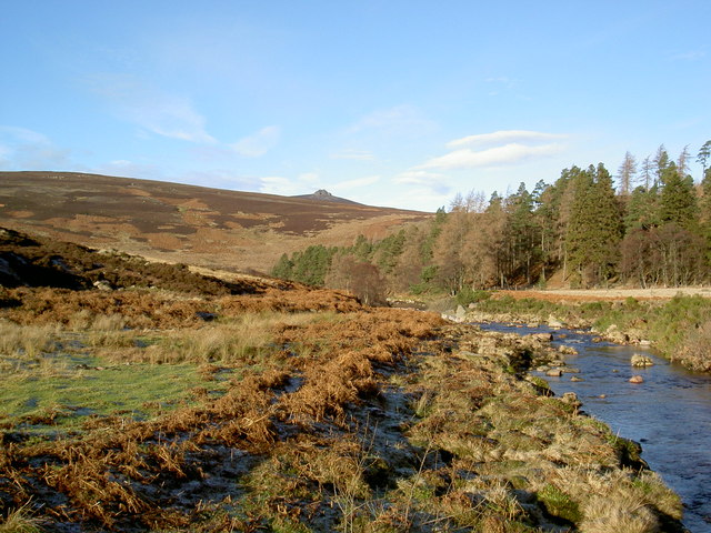
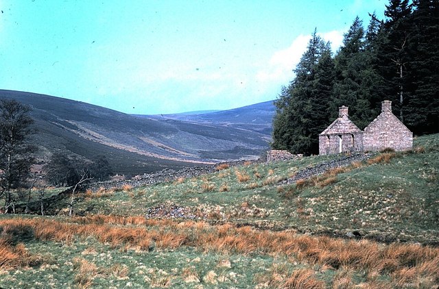
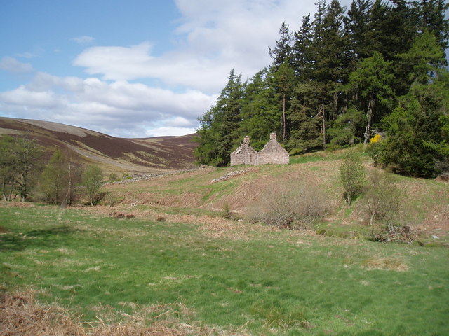
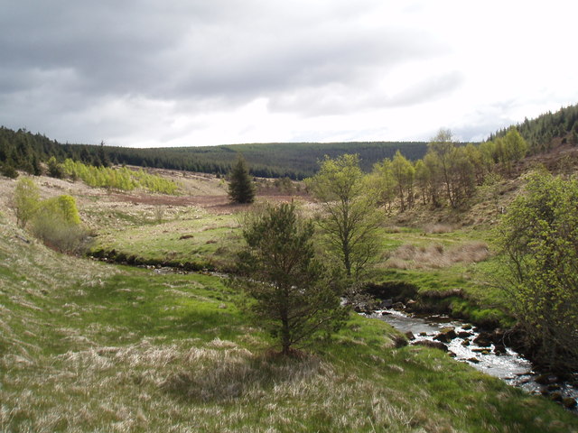
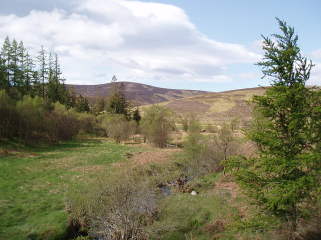
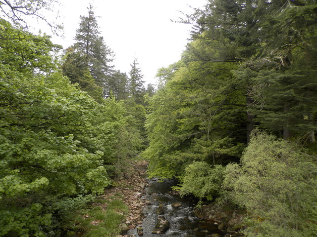
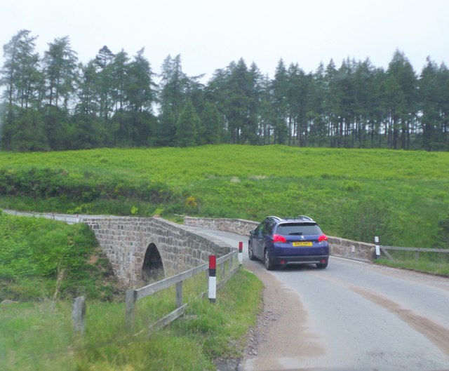
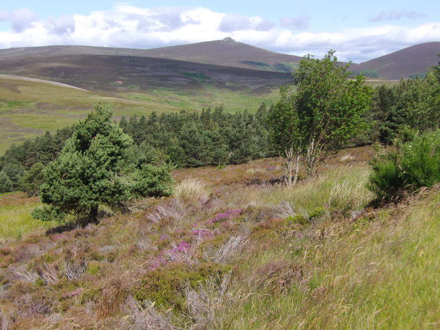
Kennel Wood is a beautiful forest located in Kincardineshire, Scotland. Covering an area of approximately 200 hectares, this wood is a popular destination for nature lovers and outdoor enthusiasts. The forest is home to a diverse range of plant and animal species, including oak, birch, and pine trees, as well as red squirrels, deer, and a variety of bird species.

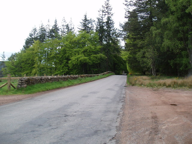
Visitors to Kennel Wood can enjoy a network of well-maintained walking trails that wind through the peaceful woodland, offering stunning views of the surrounding countryside. The forest is also a great spot for picnicking, birdwatching, and photography.

Kennel Wood is managed by the Forestry Commission Scotland, which works to maintain the health and biodiversity of the forest while also ensuring that it remains accessible to the public. The wood is a designated Site of Special Scientific Interest (SSSI), highlighting its importance for conservation and biodiversity.

Overall, Kennel Wood is a tranquil and picturesque forest that offers visitors the chance to escape the hustle and bustle of everyday life and immerse themselves in the natural beauty of the Scottish countryside.

If you have any feedback on the listing, please let us know in the comments section below.
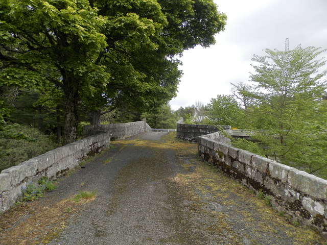
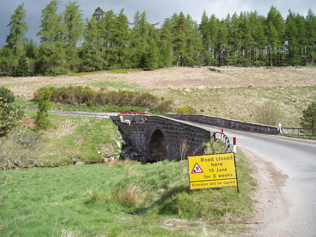
Kennel Wood Images

Images are sourced within 2km of 56.966541/-2.5783669 or Grid Reference NO6486. Thanks to Geograph Open Source API. All images are credited.

River Dye by Spital Rocky reach of the river below the Bridge of Dye.
River Dye by Spital
Rocky reach of the river below the Bridge of Dye.
Glen Dye The Dye flowing down to the Dee. Clochnaben is on the skyline.
Glen Dye
The Dye flowing down to the Dee. Clochnaben is on the skyline.
Bridge of Dye Old road bridge spanning the Water of Dye. It is now superseded by a new bridge to the east.
Bridge of Dye
Old road bridge spanning the Water of Dye. It is now superseded by a new bridge to the east.
Near Glendye Lodge View from lower slopes of Scolly's Hill, across heather moorland, towards Clachnaben with its distinctive tor.
Near Glendye Lodge
View from lower slopes of Scolly's Hill, across heather moorland, towards Clachnaben with its distinctive tor.
Old bridge at Bridge of Dye The B974 passes through the small settlement at Bridge of Dye crossing the Water o' Dye by a modern bridge which replaced this one, built in 1680.
Old bridge at Bridge of Dye
The B974 passes through the small settlement at Bridge of Dye crossing the Water o' Dye by a modern bridge which replaced this one, built in 1680.
Track to Clachnaben The track heads west from Glen Dye towards Clachnaben, a popular short hillwalk
Track to Clachnaben
The track heads west from Glen Dye towards Clachnaben, a popular short hillwalk
Remains of a dyke in Glen Dye Clachnaben is in the distance
Remains of a dyke in Glen Dye
Clachnaben is in the distance
Water of Dye
Water of Dye
Spital Cottage (Ruin) in Glen Dye Seen across the Water of Dye, from B974.
Spital Cottage (Ruin) in Glen Dye
Seen across the Water of Dye, from B974.
The Bridge of Dye The original Bridge of Dye
The Bridge of Dye
The original Bridge of Dye
Bridge over The Spital Burn This bridge crosses The Spital Burn near to its confluence with The Water of Dye
Bridge over The Spital Burn
This bridge crosses The Spital Burn near to its confluence with The Water of Dye
Spital Cottage
Spital Cottage
The Spital Burn
The Spital Burn
The Spital Burn The Spital Burn near to its confluence with The Water of Dye
The Spital Burn
The Spital Burn near to its confluence with The Water of Dye
The Water of Dye from the old Bridge of Dye
The B974 near Scolly's Cross
Bridge over the Spital Burn Carrying the Old Military Road (B974) north towards Deeside.
Bridge over the Spital Burn
Carrying the Old Military Road (B974) north towards Deeside.
View down Glen Dye from B974 With Clach-na-Ben on the horizon.
View down Glen Dye from B974
With Clach-na-Ben on the horizon.
Show me another place!

Kennel Wood is located at Grid Ref: NO6486 (Lat: 56.966541, Lng: -2.5783669)

Unitary Authority: Aberdeenshire

Police Authority: North East

What 3 Words

///madder.grasp.scarcely. Near Banchory, Aberdeenshire

Nearby Locations

Kennel Wood Greystane Wood

Related Wikis

Clachnaben

Clachnaben (archaically "Cloch-na'bain"; Scottish Gaelic: "Clach na Beinne") is a 589-metre hill in Glen Dye, Aberdeenshire, Scotland. It is a distinctive...

Cairn o' Mount

The Cairn o' Mount or Cairn o' Mounth is a hill in Aberdeenshire, Scotland, rising to 455 metres (1,493 ft). The B974 road crosses its summit, connecting...

Water of Aven

The Water of Aven (or A'an) (Scottish Gaelic: an t-Uisge Bàn) is a tributary of the Water of Feugh, itself the largest tributary of the River Dee, Aberdeenshire...

Easter Clune Castle

Easter Clune Castle is a ruined 16th-century tower house, about 6 miles (9.7 km) south-west of Banchory, Aberdeenshire, Scotland, and south of the Water...

Nearby Amenities

Located within 500m of 56.966541,-2.5783669
Bridge of Dye
Place: hamlet
Lat/Long: 56.9643221/-2.5739827
Glendye Lodge
Place: hamlet
Lat/Long: 56.9656898/-2.584753
Power: pole
Lat/Long: 56.9678836/-2.5826552
Power: pole
Lat/Long: 56.9673599/-2.5816753
Power: pole
Lat/Long: 56.9668175/-2.5806967
Power: pole
Lat/Long: 56.966299/-2.5797264
Power: pole
Lat/Long: 56.9701164/-2.5754537
Power: pole
Lat/Long: 56.9696345/-2.5763241
Power: pole
Lat/Long: 56.9693883/-2.5772164
Power: pole
Lat/Long: 56.9691645/-2.5781197
Power: pole
Lat/Long: 56.9688407/-2.5792748
Power: pole
Lat/Long: 56.9683424/-2.5809745
Power: pole
Lat/Long: 56.9675561/-2.5837158
Power: pole
Lat/Long: 56.967242/-2.5847833
Power: pole
Lat/Long: 56.9669063/-2.5859001
Power: pole
Lat/Long: 56.9691093/-2.5755221
Power: pole
Lat/Long: 56.9685647/-2.5746818
Power: pole
Lat/Long: 56.96805/-2.5738771
Power: pole
Lat/Long: 56.9674606/-2.573784
Power: pole
Lat/Long: 56.9669011/-2.5736992
Power: pole
Lat/Long: 56.9663341/-2.5736089
Power: pole
Lat/Long: 56.9657566/-2.5735103
Power: pole
Lat/Long: 56.9630647/-2.5759313
Power: pole
Lat/Long: 56.963446/-2.575633
Power: pole
Lat/Long: 56.9638362/-2.5753565
Power: pole
Lat/Long: 56.9645271/-2.5748871
Power: pole
Lat/Long: 56.9652657/-2.5741193
Power: pole
Lat/Long: 56.9643048/-2.5777721
Power: pole
Lat/Long: 56.9641115/-2.5769934
Power: pole
Lat/Long: 56.963922/-2.5763036
Power: pole
Lat/Long: 56.9641347/-2.576476
Power: pole
Lat/Long: 56.9643697/-2.5766854
The data included in this document is from www.openstreetmap.org. The data is made available under ODbL.

Have you been to Kennel Wood?

Leave your review of Kennel Wood below (or comments, questions and feedback).