Craigspark Plantation

Wood, Forest in Roxburghshire

Scotland

Craigspark Plantation

Crop field near Rutherford Burnside Towards Hardie's Burn Strip woodland.
Crop field near Rutherford Burnside Credit: JThomas

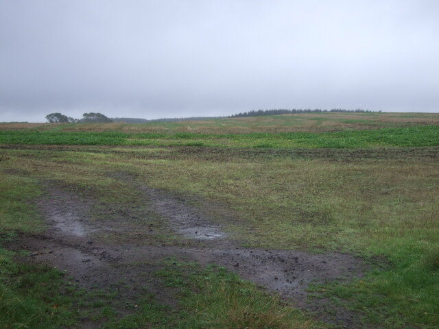
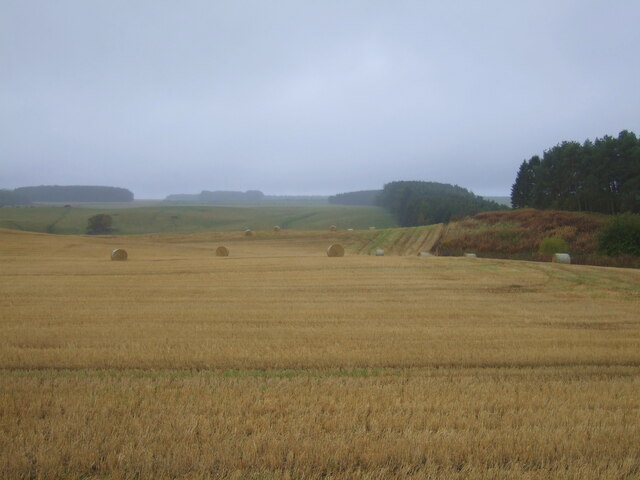
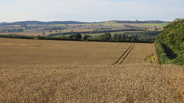
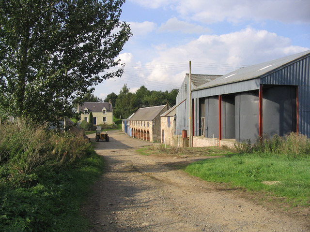
Craigspark Plantation is a sprawling woodland located in Roxburghshire, Scotland. Covering a vast area of approximately 500 acres, it is a haven for nature enthusiasts and outdoor enthusiasts alike. The plantation is situated in a picturesque setting, nestled between the rolling hills and lush green landscapes of the Scottish Borders.

The woodland is predominantly composed of a mix of native tree species, including oak, birch, and beech. These trees provide a rich and diverse habitat for a wide variety of flora and fauna. The plantation is known for its vibrant display of wildflowers during the spring and summer months, attracting an array of butterflies, bees, and other pollinators.

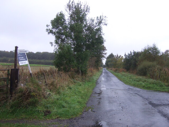
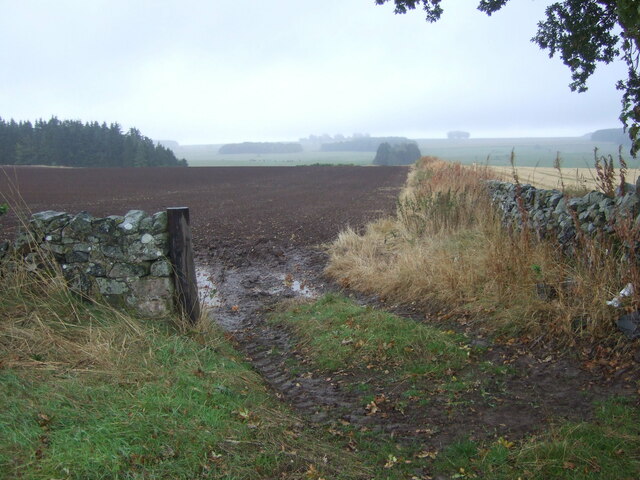
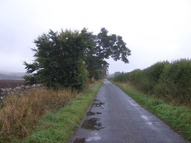
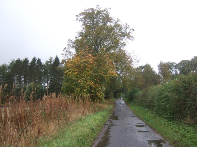
Craigspark Plantation offers a network of well-maintained walking trails, allowing visitors to explore its natural beauty at their own pace. The paths wind their way through the woodland, passing by tranquil streams and small ponds, creating a serene and peaceful atmosphere. There are also several viewpoints throughout the plantation, providing panoramic views of the surrounding countryside.

The woodland is home to a diverse range of wildlife, including red squirrels, roe deer, and a multitude of bird species such as woodpeckers and nuthatches. Nature enthusiasts can enjoy birdwatching, as well as the opportunity to spot other elusive creatures such as badgers and foxes.

With its stunning scenery, abundant wildlife, and peaceful atmosphere, Craigspark Plantation is a true gem in the heart of Roxburghshire. It provides a perfect escape from the hustle and bustle of everyday life, allowing visitors to connect with nature and immerse themselves in the beauty of the Scottish countryside.

If you have any feedback on the listing, please let us know in the comments section below.

Craigspark Plantation Images

Images are sourced within 2km of 55.552852/-2.5610033 or Grid Reference NT6428. Thanks to Geograph Open Source API. All images are credited.

Crop field near Rutherford Burnside Towards Hardie's Burn Strip woodland.
Crop field near Rutherford Burnside
Towards Hardie's Burn Strip woodland.
Minor road near Rutherford Burnside Towards Pirnie.
Minor road near Rutherford Burnside
Towards Pirnie.
Field entrance near Pirnie
Minor road towards Pirnie
Stubble field, Pirnie Bales still out on the field.
Stubble field, Pirnie
Bales still out on the field.
Minor road, Pirnie On a damp morning in Autumn.
Minor road, Pirnie
On a damp morning in Autumn.
Farm track near Pirnie
Grazing near Pirnie
Grazing near Pirnie
Minor road near Pirnie Towards Fairnington.
Minor road near Pirnie
Towards Fairnington.
Ploughed field near Fairnington Towards Major's Plantation.
Ploughed field near Fairnington
Towards Major's Plantation.
Ploughed field near Fairnington Towards distant woodland and the Waterloo Monument on Peniel Heugh.
Ploughed field near Fairnington
Towards distant woodland and the Waterloo Monument on Peniel Heugh.
Minor road Fairnington
Prepared field and woodland near Fairnington
Minor beside woodland near Fairnington Towards Muirhouselaw.
Minor beside woodland near Fairnington
Towards Muirhouselaw.
Border Berries at Rutherford Farm Two large fields on the south side of the main farm buildings are used during the summer months as a pick your own fruit farm. The main fruits are strawberries, raspberries, gooseberries, red currants and black currants. On this occasion I was picking strawberries.
Border Berries at Rutherford Farm
Two large fields on the south side of the main farm buildings are used during the summer months as a pick your own fruit farm. The main fruits are strawberries, raspberries, gooseberries, red currants and black currants. On this occasion I was picking strawberries.
Border Berries A large area on the south side of Rutherford Farm buildings is used during the summer months as a pick your own fruit farm. The main fruits are strawberries, raspberries, gooseberries, red currants, black currants, Tay berries and black berries. Due to an unseasonably cold spring and recent inclement weather some fruits will ripen later than usual but strawberries were ready for picking on my visit.
Border Berries
A large area on the south side of Rutherford Farm buildings is used during the summer months as a pick your own fruit farm. The main fruits are strawberries, raspberries, gooseberries, red currants, black currants, Tay berries and black berries. Due to an unseasonably cold spring and recent inclement weather some fruits will ripen later than usual but strawberries were ready for picking on my visit.
Wheat, Rutherford The excellent harvest weather of 2013.
Wheat, Rutherford
The excellent harvest weather of 2013.
Rutherford Farm
Rutherford Farm
Show me another place!

Craigspark Plantation is located at Grid Ref: NT6428 (Lat: 55.552852, Lng: -2.5610033)

Unitary Authority: The Scottish Borders

Police Authority: The Lothians and Scottish Borders

What 3 Words

///constants.jumpy.irritable. Near Saint Boswells, Scottish Borders

Related Wikis

Rutherford railway station

Rutherford railway station served the parish of Maxton, Roxburghshire, Scotland from 1851 to 1964 on the Kelso Line. == History == The station opened in...

Peniel Heugh

Peniel Heugh (237 m) is a hill near Ancrum and Nisbet in the Scottish Borders area of Scotland. On it stands the Waterloo Monument. == Geology == The heugh...

Waterloo Monument

The Waterloo Monument near Ancrum in the Scottish Borders is a 150-foot tower, built between 1817 and 1824 to commemorate the Battle of Waterloo. It was...

Borders Abbeys Way

The Borders Abbeys Way is a long-distance footpath in the Scottish Borders area of Scotland. It is a circular walkway and is 109 kilometres (68 mi) in...

Nearby Amenities

Located within 500m of 55.552852,-2.5610033
Pirnie House
Place: hamlet
Lat/Long: 55.5494985/-2.5582752
Natural: peak
Lat/Long: 55.55249/-2.5662915
Power: pole
Lat/Long: 55.5484632/-2.559934
Power: pole
Lat/Long: 55.5491712/-2.5597048
The data included in this document is from www.openstreetmap.org. The data is made available under ODbL.

Have you been to Craigspark Plantation?

Leave your review of Craigspark Plantation below (or comments, questions and feedback).