Wood of Newbigging

Wood, Forest in Kincardineshire

Scotland

Wood of Newbigging

Craigmoston Bridge The bridge over the Craigmoston Burn
Craigmoston Bridge Credit: Ralph Greig

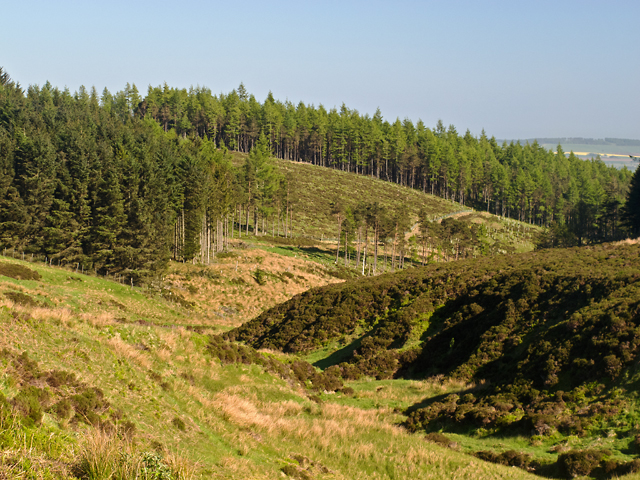
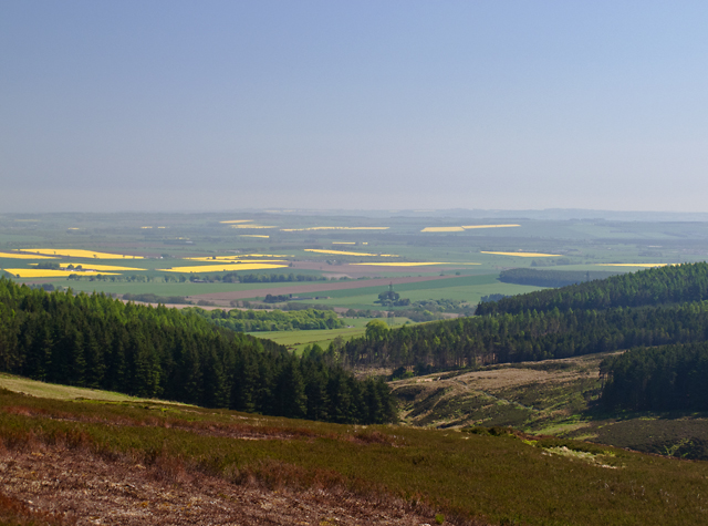
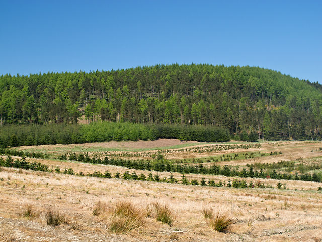
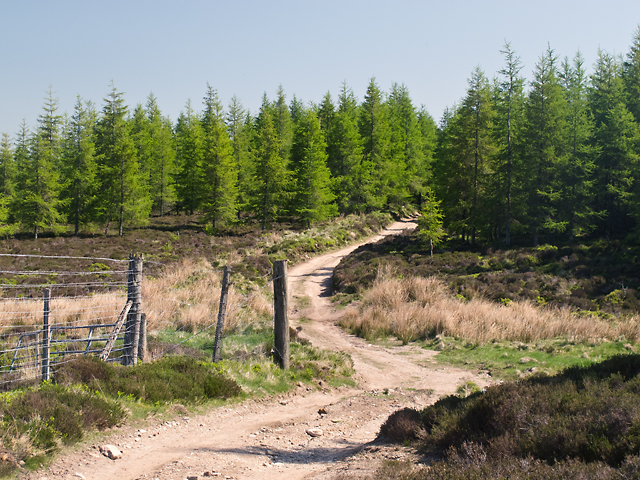
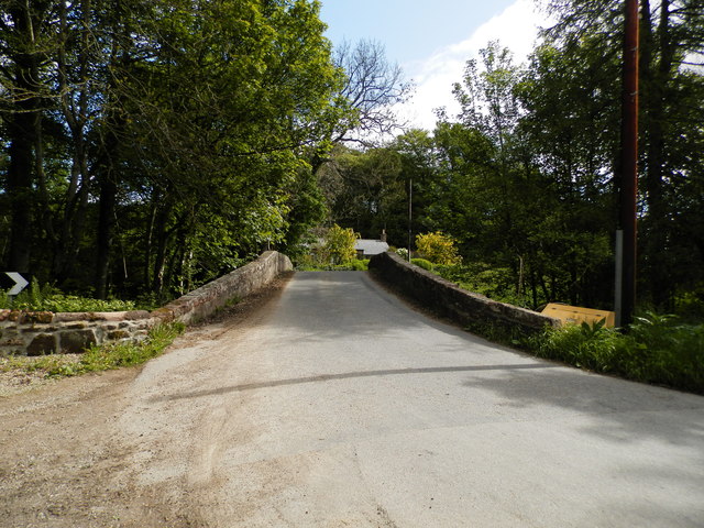
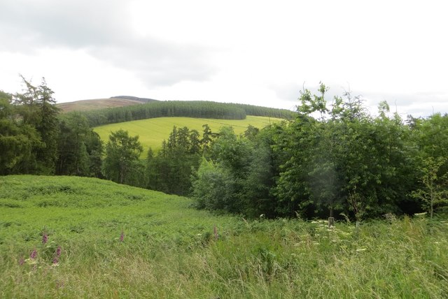
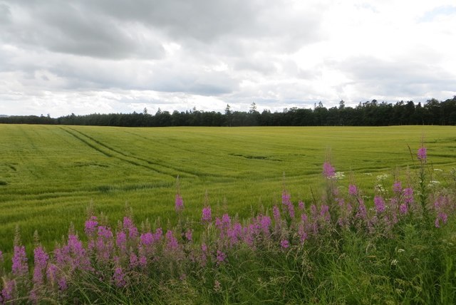
Wood of Newbigging is a lush forest located in Kincardineshire, Scotland. It spans over a vast area and is renowned for its natural beauty and diverse range of flora and fauna. The forest is situated in a rural area, surrounded by picturesque countryside, making it a popular destination for nature enthusiasts and hikers.

The Wood of Newbigging is characterized by its dense canopy, which consists primarily of native tree species, such as oak, birch, and beech. These trees provide ample shade, creating a serene and cool atmosphere within the forest. Additionally, the forest floor is adorned with a plethora of vibrant wildflowers and mosses, adding to its enchanting appeal.

Wildlife thrives within the Wood of Newbigging, making it an ideal spot for wildlife observation. The forest is home to a variety of bird species, including woodpeckers, owls, and thrushes. Mammals such as red squirrels, deer, and foxes can also be spotted within the forest, adding to the rich biodiversity of the area.

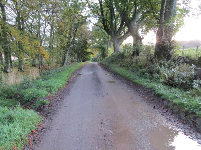
For outdoor enthusiasts, the Wood of Newbigging offers numerous walking trails and paths that wind through the forest, allowing visitors to explore its natural wonders. These trails vary in difficulty, catering to both casual walkers and more experienced hikers. Along the way, visitors can enjoy the tranquil ambiance of the forest and may even stumble upon hidden gems such as small streams and secluded picnic spots.

Overall, the Wood of Newbigging is a captivating forest with its breathtaking scenery, diverse wildlife, and well-maintained trails, making it a must-visit destination for nature lovers and those seeking a peaceful escape from the hustle and bustle of everyday life.

If you have any feedback on the listing, please let us know in the comments section below.

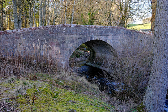
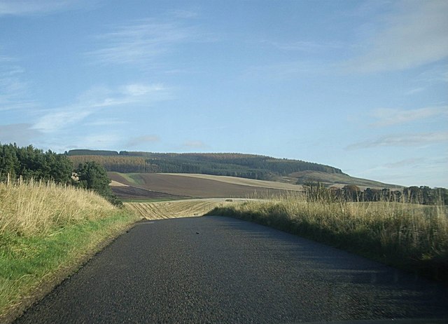
Wood of Newbigging Images

Images are sourced within 2km of 56.881141/-2.5828556 or Grid Reference NO6476. Thanks to Geograph Open Source API. All images are credited.

Craigmoston Bridge The bridge over the Craigmoston Burn
Craigmoston Bridge
The bridge over the Craigmoston Burn
B974 by Bank of Gallowhillston On road between Fettercairn and Banchory.
B974 by Bank of Gallowhillston
On road between Fettercairn and Banchory.
Wood of Mon Duff The Wood of Mon Duff, viewed along the course of the Burn of Cauldcots, which supplied the Fettercairn Distillery 4km to the south-east.
Wood of Mon Duff
The Wood of Mon Duff, viewed along the course of the Burn of Cauldcots, which supplied the Fettercairn Distillery 4km to the south-east.
Brunt Hill A view towards forestry plantations on Brunt Hill (left of image), with the patchwork field pattern of the Howe of the Mearns visible in the distance. Oil-seed rape fields are particularly prominent. Visibility is limited by extensive haze in a period of unusually warm weather.
Brunt Hill
A view towards forestry plantations on Brunt Hill (left of image), with the patchwork field pattern of the Howe of the Mearns visible in the distance. Oil-seed rape fields are particularly prominent. Visibility is limited by extensive haze in a period of unusually warm weather.
Brunt Hill Agricultural land on the lower slopes of Brunt Hill, with Garrol Wood visible in the distance.
Brunt Hill
Agricultural land on the lower slopes of Brunt Hill, with Garrol Wood visible in the distance.
Track on Brunt Hill A track to the north of Brunt Hill - this leads onto the hillside in the vicinity of Hound Hillock 2km distant.
Track on Brunt Hill
A track to the north of Brunt Hill - this leads onto the hillside in the vicinity of Hound Hillock 2km distant.
Back Burn of Arnbarrow
Craigmoston Bridge
Craigmoston Bridge
Above the Devilly Burn View towards Strathfinella Hill from the B974.
Above the Devilly Burn
View towards Strathfinella Hill from the B974.
Barley, Craigmoston Arable land near Fettercairn.
Barley, Craigmoston
Arable land near Fettercairn.
Old Milestone by the B974, Cairn O'Mount Road, Craigmoston Aberdeen granite by the B974, in parish of Fordun (Aberdeen District), Craigmoston.

Inscription reads:-
6
(To Edzell)

Surveyed

Milestone Society National ID: AD_FTBN06
Old Milestone by the B974, Cairn O'Mount Road, Craigmoston
Aberdeen granite by the B974, in parish of Fordun (Aberdeen District), Craigmoston. Inscription reads:- 6 (To Edzell) Surveyed Milestone Society National ID: AD_FTBN06
Tree-lined track between Nether Thainston and Fasque Looking eastward towards North Lodge.
Tree-lined track between Nether Thainston and Fasque
Looking eastward towards North Lodge.
Craigmoston Bridge The hump-backed Craigmoston Bridge viewed from the south.
Craigmoston Bridge
The hump-backed Craigmoston Bridge viewed from the south.
Power Lines in the Howe of the Mearns
Ruin on the Cairn o Mount road
Craigmoston Bridge by Fasque House Fasque House - home of the Gladstones since Victorian times
Craigmoston Bridge by Fasque House
Fasque House - home of the Gladstones since Victorian times
Fasque House This property dates from 1809 and was the family home of Victorian Prime Minister William Gladstone (although Gladstone was not born here). See <span class="nowrap"><a title="http://en.wikipedia.org/wiki/Fasque_House" rel="nofollow ugc noopener" href="http://en.wikipedia.org/wiki/Fasque_House">Link</a><img style="margin-left:2px;" alt="External link" title="External link - shift click to open in new window" src="https://s1.geograph.org.uk/img/external.png" width="10" height="10"/></span>
Fasque House
This property dates from 1809 and was the family home of Victorian Prime Minister William Gladstone (although Gladstone was not born here). See LinkExternal link
Show me another place!

Wood of Newbigging is located at Grid Ref: NO6476 (Lat: 56.881141, Lng: -2.5828556)

Unitary Authority: Aberdeenshire

Police Authority: North East

What 3 Words

///donation.reason.chitchat. Near Laurencekirk, Aberdeenshire

Related Wikis

Fasque House

Fasque, also known as Fasque House or Fasque Castle, is a mansion in Aberdeenshire, Scotland, situated near the village of Fettercairn, in the former county...

Kincardine, Aberdeenshire

Kincardine was a burgh in Scotland, near the present-day village of Fettercairn. It served as the first county town of Kincardineshire. The settlement...

Fettercairn distillery

Fettercairn distillery is a whisky distillery in Fettercairn. Situated under the Grampian foothills in the Howe of Mearns, Fettercairn town’s name is...

Fettercairn

Fettercairn (, Scottish Gaelic: Fothair Chàrdain) is a small village in Aberdeenshire, Scotland, northwest of Laurencekirk in Aberdeenshire on the B966...

Nearby Amenities

Located within 500m of 56.881141,-2.5828556
Power: tower
Lat/Long: 56.8802943/-2.5784646
Power: tower
Lat/Long: 56.8779577/-2.5872204
Power: tower
Lat/Long: 56.8790485/-2.5831329
The data included in this document is from www.openstreetmap.org. The data is made available under ODbL.

Have you been to Wood of Newbigging?

Leave your review of Wood of Newbigging below (or comments, questions and feedback).