Whiteside Plantation
Wood, Forest in Berwickshire
Scotland
Whiteside Plantation
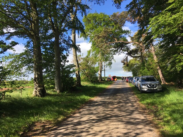
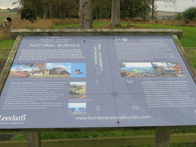
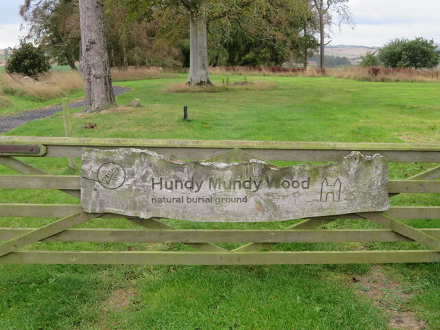
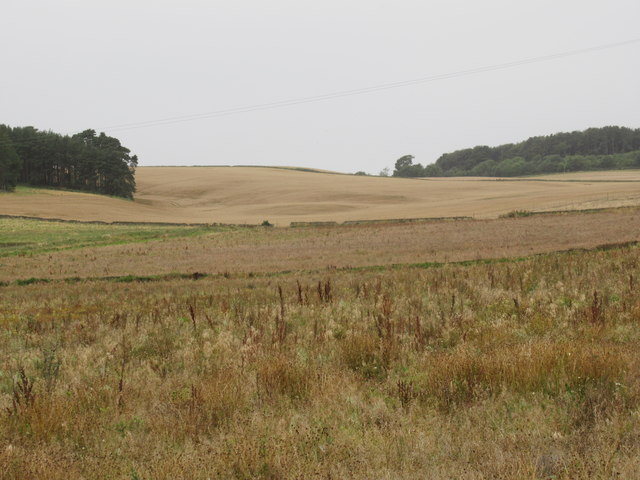
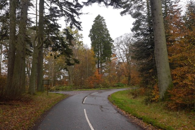
Whiteside Plantation is a picturesque woodland estate located in the rural area of Berwickshire, Scotland. Spread over a vast area of lush greenery, the plantation is renowned for its magnificent woodlands and diverse ecosystem. It attracts nature enthusiasts, hikers, and birdwatchers from far and wide.
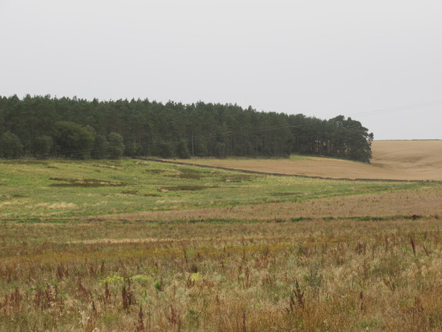
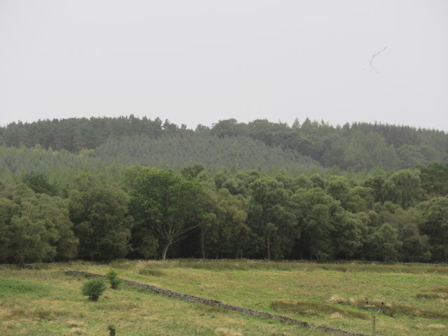
The plantation is home to a variety of tree species, including oak, beech, and pine, creating a vibrant and enchanting forest. The dense canopy of trees provides a cool and tranquil atmosphere, making it a perfect retreat for those seeking solace in nature. The forest floor is adorned with a rich carpet of ferns, mosses, and wildflowers, adding to its natural charm.
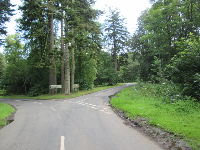
Several well-marked trails wind through the plantation, offering visitors the opportunity to explore its beauty at their own pace. These paths lead to hidden gems such as meandering streams, picturesque ponds, and ancient stone ruins. The plantation also features well-maintained picnic areas for visitors to relax and enjoy a meal amidst the serene surroundings.
The wildlife at Whiteside Plantation is abundant and diverse. Birdwatchers can spot various species, including woodpeckers, owls, and thrushes, while lucky visitors might catch a glimpse of elusive mammals like deer and foxes. The plantation's commitment to conservation has created a haven for wildlife, ensuring their protection and preservation.
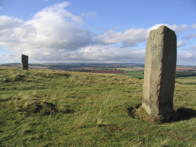
Whiteside Plantation is not only a natural haven but also a testament to Scotland's rich history. The estate has been in existence for centuries, and remnants of its past can be seen in the form of ancient stone walls and ruins. These historical features add an element of intrigue and provide a glimpse into the region's heritage.
Overall, Whiteside Plantation is a captivating destination for nature lovers and history enthusiasts alike. Its stunning woodlands, diverse wildlife, and historical significance make it a must-visit location in Berwickshire.
If you have any feedback on the listing, please let us know in the comments section below.
Whiteside Plantation Images
Images are sourced within 2km of 55.639331/-2.5640978 or Grid Reference NT6438. Thanks to Geograph Open Source API. All images are credited.
Whiteside Plantation is located at Grid Ref: NT6438 (Lat: 55.639331, Lng: -2.5640978)
Unitary Authority: The Scottish Borders
Police Authority: The Lothians and Scottish Borders
What 3 Words
///paramedic.hacking.ironclad. Near Earlston, Scottish Borders
Nearby Locations
Related Wikis

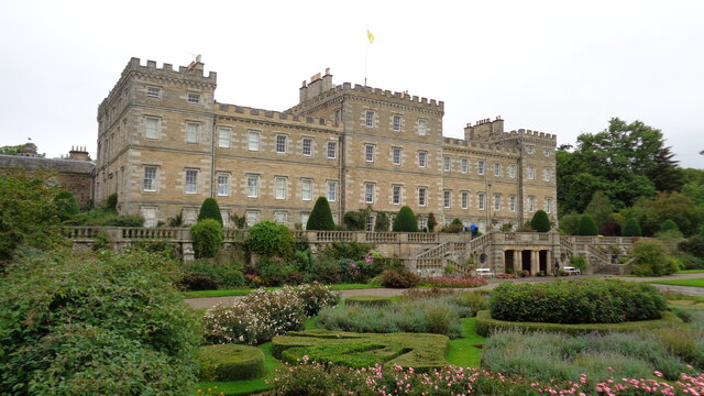
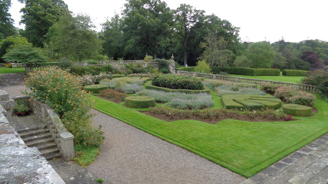
Mellerstain House
Mellerstain House is a stately home around 8 miles (13 kilometres) north of Kelso in the Borders, Scotland. It is currently the home of George Baillie...

Smailholm
Smailholm (Scots: Smailhowm) is a small village in the historic county of Roxburghshire in south-east Scotland. It is at grid reference NT648364 and straddles...

Nenthorn
Nenthorn is a parish and hamlet in the south of the historic county of Berwickshire in the Scottish Borders area of Scotland. It is included in the Floors...
Brotherstone Hill
Brotherstone Hill is a hill near St. Boswells and the Eildon Hills in the Scottish Borders area of Scotland, with two standing stones from the megalithic...
Have you been to Whiteside Plantation?
Leave your review of Whiteside Plantation below (or comments, questions and feedback).