Houndslow Wood
Wood, Forest in Berwickshire
Scotland
Houndslow Wood
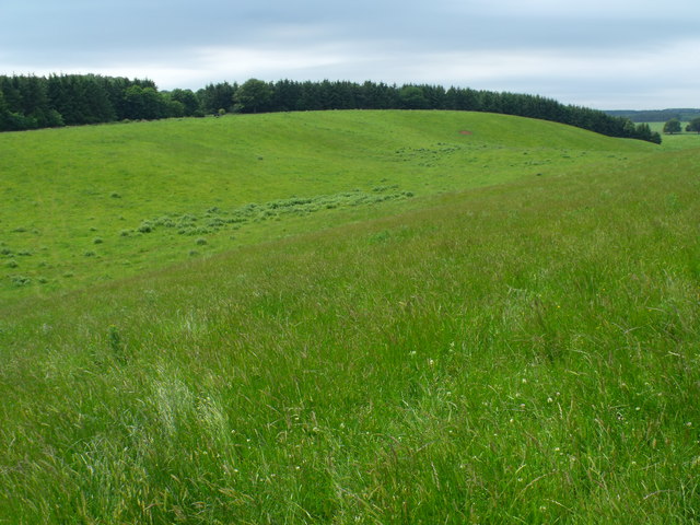
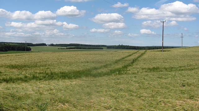
Houndslow Wood, located in Berwickshire, is a stunning forested area that offers a peaceful and picturesque escape for nature enthusiasts. Covering a vast expanse of approximately 500 acres, this wood is part of the larger Houndslow Estate and is nestled within the beautiful Scottish Borders region.
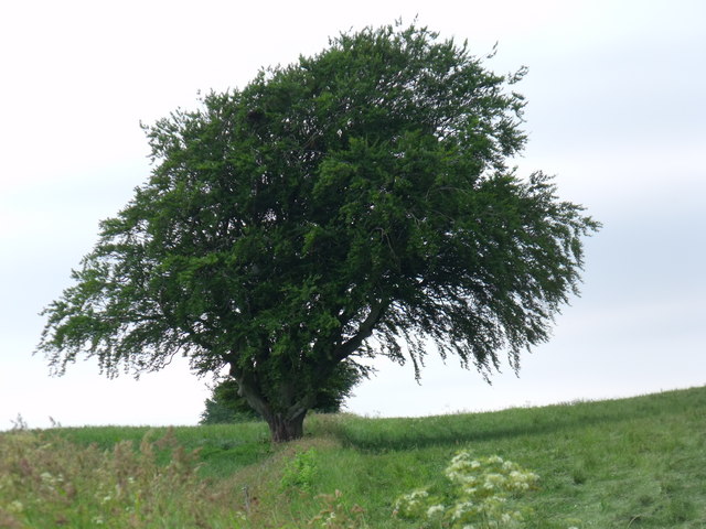
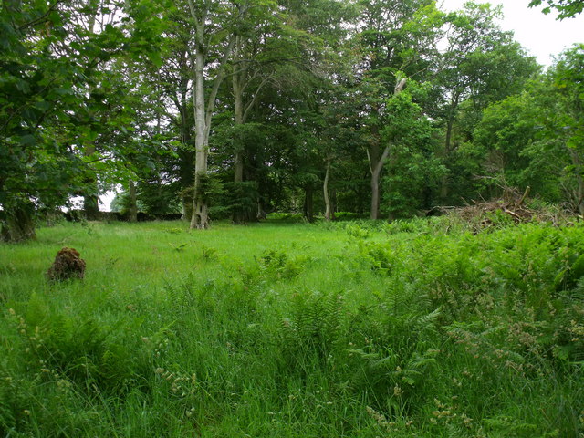
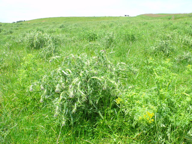
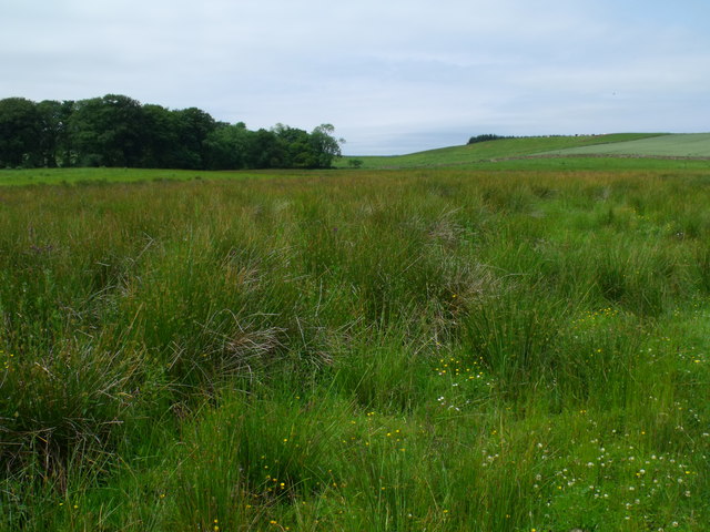
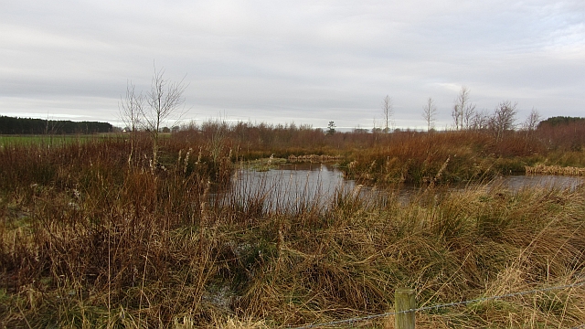
The woodland is primarily composed of native broadleaf trees, including oak, ash, beech, and birch, which provide a rich and diverse habitat for a variety of flora and fauna. The forest floor is adorned with carpets of bluebells and other wildflowers during the springtime, creating a vibrant and enchanting atmosphere.
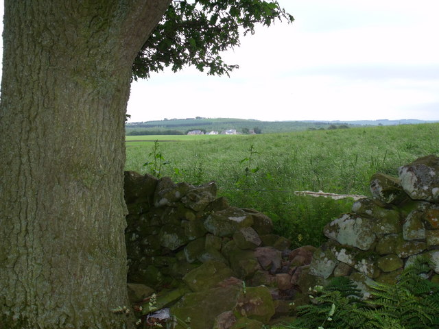
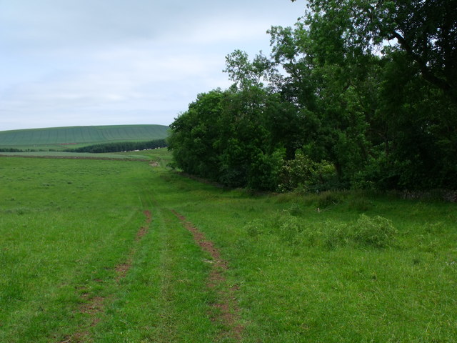
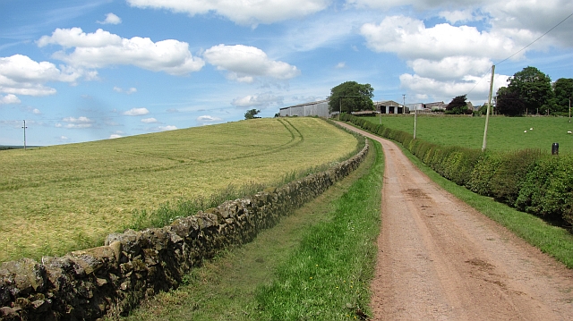
Houndslow Wood is crisscrossed by a network of well-maintained walking trails, offering visitors the opportunity to explore its beauty at their own pace. These trails cater to all levels of fitness and provide access to different parts of the forest, allowing visitors to discover hidden gems along the way. Whether you prefer a leisurely stroll or a more challenging hike, there is something for everyone.
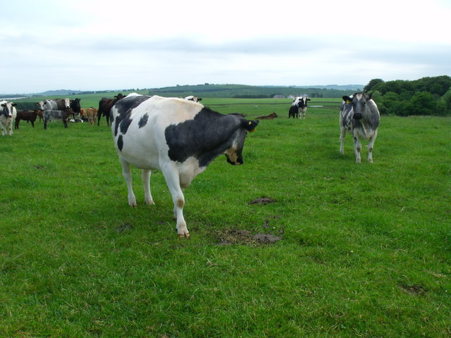
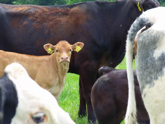
Wildlife enthusiasts will be delighted by the abundance of animals that call Houndslow Wood home. Red squirrels, roe deer, and a variety of bird species, including woodpeckers and owls, can often be spotted within the woodland. The tranquil atmosphere and the diverse ecosystem make this forest a haven for wildlife.
Overall, Houndslow Wood in Berwickshire is a true natural gem, offering a serene and immersive experience for those seeking solace in the great outdoors. Its breathtaking scenery, well-maintained trails, and thriving wildlife make it a must-visit destination for nature lovers of all ages.
If you have any feedback on the listing, please let us know in the comments section below.
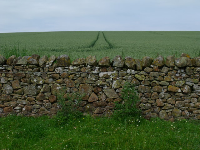
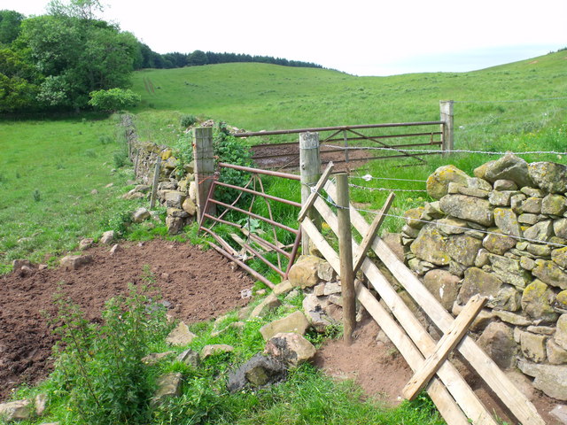
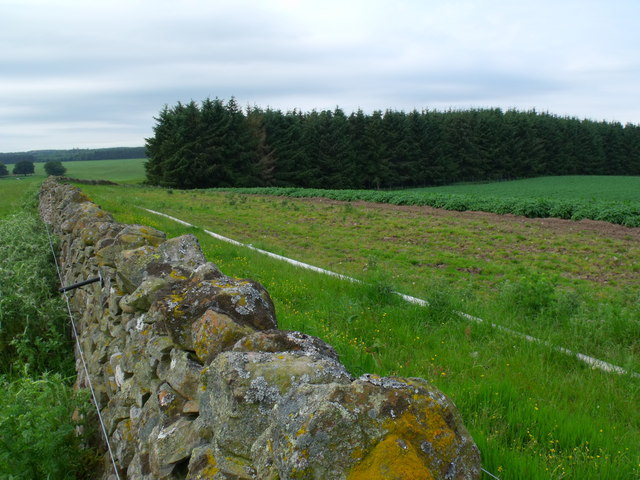
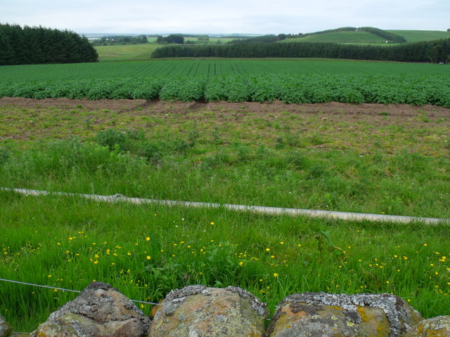
Houndslow Wood Images
Images are sourced within 2km of 55.714614/-2.5651031 or Grid Reference NT6446. Thanks to Geograph Open Source API. All images are credited.


Houndslow Wood is located at Grid Ref: NT6446 (Lat: 55.714614, Lng: -2.5651031)
Unitary Authority: The Scottish Borders
Police Authority: The Lothians and Scottish Borders
What 3 Words
///grapevine.beards.cheese. Near Earlston, Scottish Borders
Nearby Locations
Related Wikis

Houndslow
Houndslow is a hamlet in the Scottish Borders area of Scotland. It is situated on the A697, about 5 miles (8.0 km) west of Greenlaw, and 3 miles (4.8 km...

Bassendean, Scottish Borders
Bassendean is a village in the Scottish Borders area of Scotland, 4 kilometres (2.5 mi) south of Westruther and 3 kilometres (1.9 mi) north-west of Gordon...

Gordon (NBR) railway station
Gordon railway station served the village of Gordon, Scottish Borders, Scotland from 1863 to 1948 on the Berwickshire Railway. == History == The station...

Westruther
Westruther is a village on the B6465, in the Scottish Borders area of Scotland, on the lower slopes of the Lammermuir Hills, in the former Berwickshire...

Gordon, Scottish Borders
Gordon is a village in the Scottish Borders area of Scotland, within the historic county of Berwickshire. The village sits on the crossroads of the A6105...

Greenknowe Tower
Greenknowe Tower is a 16th-century tower house, located just west of the village of Gordon, in the Scottish Borders. Although a roofless ruin, the stonework...

Blackadder Water
Blackadder Water () is a river in Berwickshire in the Scottish Borders area of Scotland, forming part of the River Tweed system. It reached 2.84m at Mouthbridge...

Gordon Moss
Gordon Moss is a nature reserve near Gordon, in the Scottish Borders area of Scotland, in the former Berwickshire. The moss is situated one mile west of...
Nearby Amenities
Located within 500m of 55.714614,-2.5651031Have you been to Houndslow Wood?
Leave your review of Houndslow Wood below (or comments, questions and feedback).