Garrol Wood

Wood, Forest in Kincardineshire

Scotland

Garrol Wood

Craigmoston Bridge The bridge over the Craigmoston Burn
Craigmoston Bridge Credit: Ralph Greig

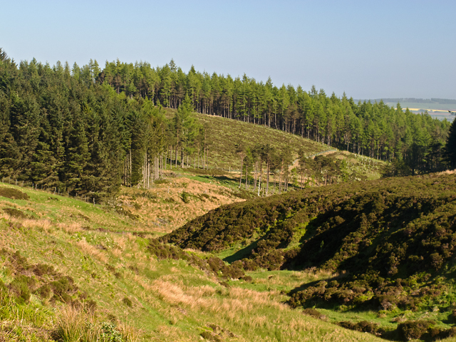
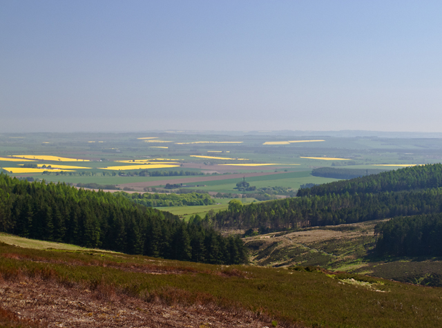
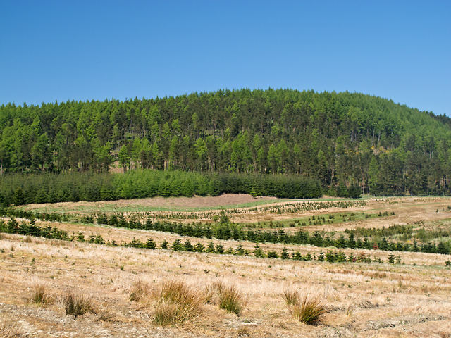
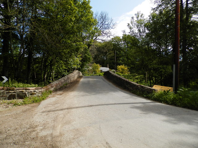
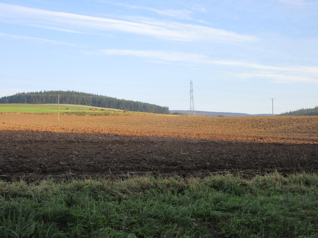
Garrol Wood is a picturesque forest located in Kincardineshire, Scotland. Covering an area of approximately 500 acres, it is known for its natural beauty and diverse wildlife. The woodland is situated near the village of Garrol, making it easily accessible for visitors.

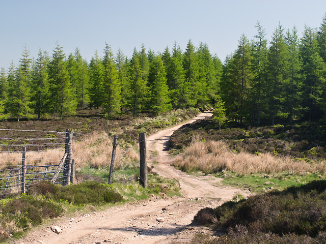
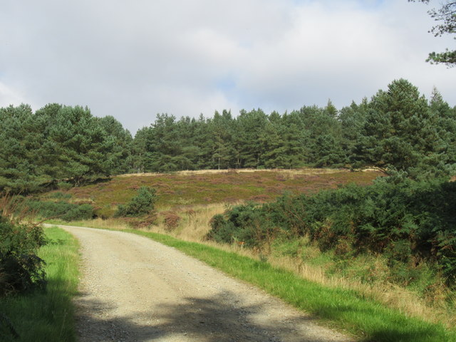
The forest is predominantly composed of native tree species such as oak, birch, and pine, creating a rich and varied ecosystem. The dense foliage provides a habitat for a wide range of flora and fauna, including various species of birds, mammals, and insects. Nature enthusiasts and birdwatchers can often spot woodland birds such as woodpeckers, owls, and songbirds in the area.

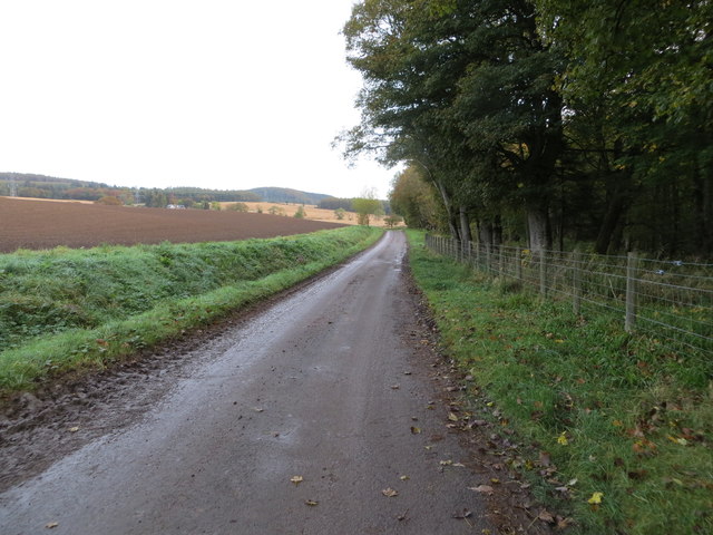
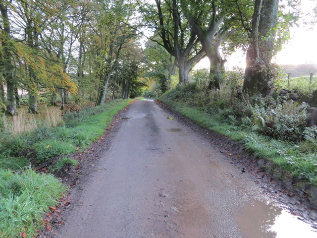
Garrol Wood offers a network of well-maintained walking trails, allowing visitors to explore the forest's enchanting surroundings. These trails cater to different fitness levels, with short and easy routes for families and longer, more challenging paths for experienced hikers. Along the way, hikers can enjoy breathtaking views of the surrounding countryside and may even stumble upon hidden streams or small waterfalls.

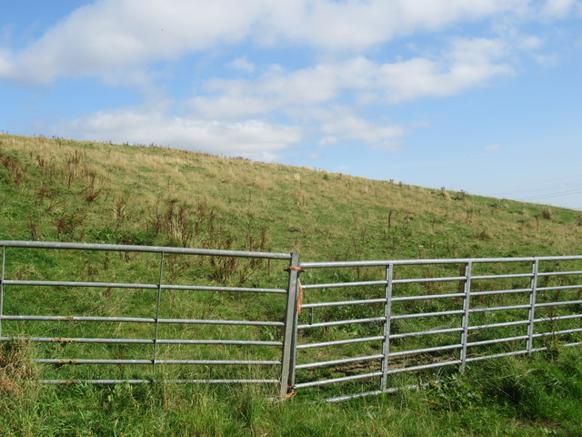
The forest is managed by local authorities to ensure its conservation and sustainability. Efforts are made to maintain the natural balance of the ecosystem while also providing a safe and enjoyable experience for visitors. There are designated picnic areas and benches scattered throughout the woodland, allowing visitors to take a break and soak in the tranquil atmosphere.

Overall, Garrol Wood is a must-visit destination for nature lovers, offering a peaceful retreat in the heart of Kincardineshire.

If you have any feedback on the listing, please let us know in the comments section below.
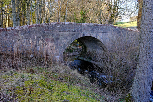
Garrol Wood Images

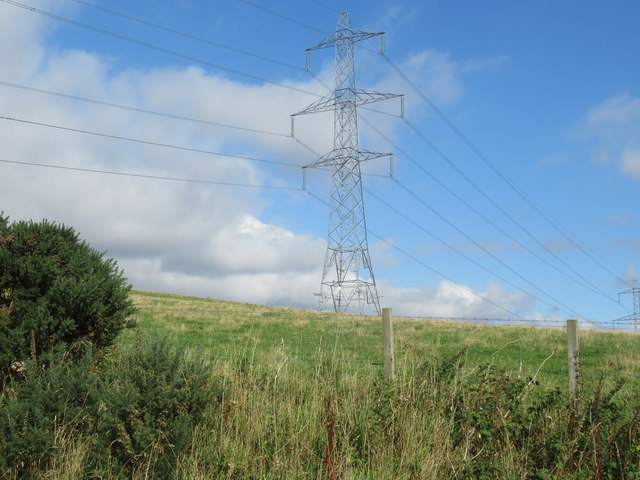
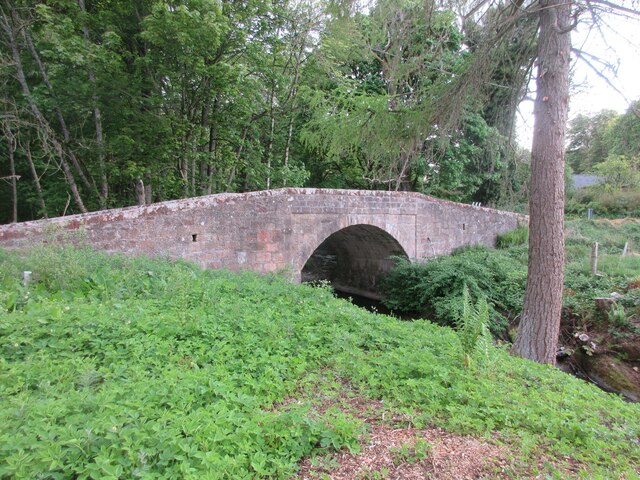
Images are sourced within 2km of 56.882071/-2.5893846 or Grid Reference NO6476. Thanks to Geograph Open Source API. All images are credited.

Craigmoston Bridge The bridge over the Craigmoston Burn
Craigmoston Bridge
The bridge over the Craigmoston Burn
Wood of Mon Duff The Wood of Mon Duff, viewed along the course of the Burn of Cauldcots, which supplied the Fettercairn Distillery 4km to the south-east.
Wood of Mon Duff
The Wood of Mon Duff, viewed along the course of the Burn of Cauldcots, which supplied the Fettercairn Distillery 4km to the south-east.
Brunt Hill A view towards forestry plantations on Brunt Hill (left of image), with the patchwork field pattern of the Howe of the Mearns visible in the distance. Oil-seed rape fields are particularly prominent. Visibility is limited by extensive haze in a period of unusually warm weather.
Brunt Hill
A view towards forestry plantations on Brunt Hill (left of image), with the patchwork field pattern of the Howe of the Mearns visible in the distance. Oil-seed rape fields are particularly prominent. Visibility is limited by extensive haze in a period of unusually warm weather.
Brunt Hill Agricultural land on the lower slopes of Brunt Hill, with Garrol Wood visible in the distance.
Brunt Hill
Agricultural land on the lower slopes of Brunt Hill, with Garrol Wood visible in the distance.
Track on Brunt Hill A track to the north of Brunt Hill - this leads onto the hillside in the vicinity of Hound Hillock 2km distant.
Track on Brunt Hill
A track to the north of Brunt Hill - this leads onto the hillside in the vicinity of Hound Hillock 2km distant.
Craigmoston Bridge
Craigmoston Bridge
Ploughed field at Thainston Ploughed field between Nether and Upper Thainston.
Ploughed field at Thainston
Ploughed field between Nether and Upper Thainston.
Start of a track at Nether Thainston that gives access to Fasque Looking north-eastward.
Start of a track at Nether Thainston that gives access to Fasque
Looking north-eastward.
Tree-lined track between Nether Thainston and Fasque Looking eastward towards North Lodge.
Tree-lined track between Nether Thainston and Fasque
Looking eastward towards North Lodge.
A field of nothing on Upper Thainstone Very pretty but!
A field of nothing on Upper Thainstone
Very pretty but!
Quarry above Upper Thainstone by Fettercairn
Scenic spot south of Upper Thainstone quarry
Another striding naked maiden on Gladstone's estate
Craigmoston Bridge The hump-backed Craigmoston Bridge viewed from the south.
Craigmoston Bridge
The hump-backed Craigmoston Bridge viewed from the south.
Power Lines in the Howe of the Mearns
Craigmoston Bridge by Fasque House Fasque House - home of the Gladstones since Victorian times
Craigmoston Bridge by Fasque House
Fasque House - home of the Gladstones since Victorian times
Fasque House This property dates from 1809 and was the family home of Victorian Prime Minister William Gladstone (although Gladstone was not born here). See <span class="nowrap"><a title="http://en.wikipedia.org/wiki/Fasque_House" rel="nofollow ugc noopener" href="http://en.wikipedia.org/wiki/Fasque_House">Link</a><img style="margin-left:2px;" alt="External link" title="External link - shift click to open in new window" src="https://s1.geograph.org.uk/img/external.png" width="10" height="10"/></span>
Fasque House
This property dates from 1809 and was the family home of Victorian Prime Minister William Gladstone (although Gladstone was not born here). See LinkExternal link
Show me another place!

Garrol Wood is located at Grid Ref: NO6476 (Lat: 56.882071, Lng: -2.5893846)

Unitary Authority: Aberdeenshire

Police Authority: North East

What 3 Words

///snowstorm.tropic.dark. Near Laurencekirk, Aberdeenshire

Related Wikis

Fasque House

Fasque, also known as Fasque House or Fasque Castle, is a mansion in Aberdeenshire, Scotland, situated near the village of Fettercairn, in the former county...

Fettercairn distillery

Fettercairn distillery is a whisky distillery in Fettercairn. Situated under the Grampian foothills in the Howe of Mearns, Fettercairn town’s name is...

Kincardine, Aberdeenshire

Kincardine was a burgh in Scotland, near the present-day village of Fettercairn. It served as the first county town of Kincardineshire. The settlement...

Fettercairn

Fettercairn (, Scottish Gaelic: Fothair Chàrdain) is a small village in Aberdeenshire, Scotland, northwest of Laurencekirk in Aberdeenshire on the B966...

Nearby Amenities

Located within 500m of 56.882071,-2.5893846
Power: tower
Lat/Long: 56.8779577/-2.5872204
The data included in this document is from www.openstreetmap.org. The data is made available under ODbL.

Have you been to Garrol Wood?

Leave your review of Garrol Wood below (or comments, questions and feedback).