Inverury Wood

Wood, Forest in Kincardineshire

Scotland

Inverury Wood

Minor road enclosed by Inverury Wood Looking north-westward.
Minor road enclosed by Inverury Wood Credit: Peter Wood

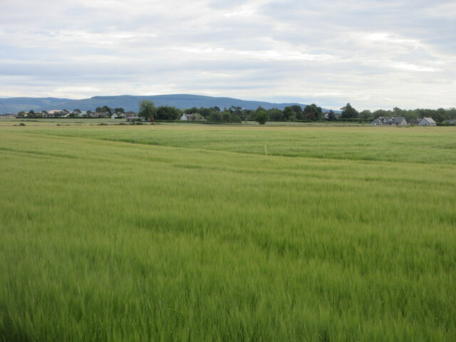
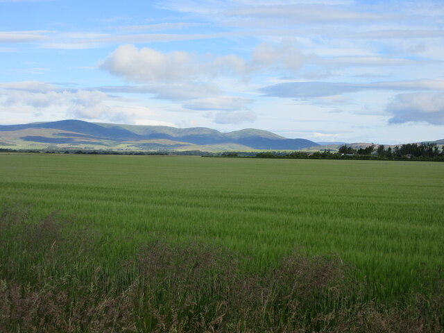
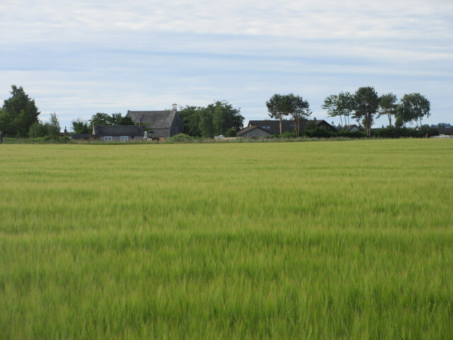
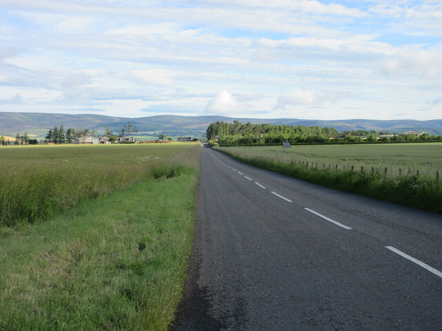
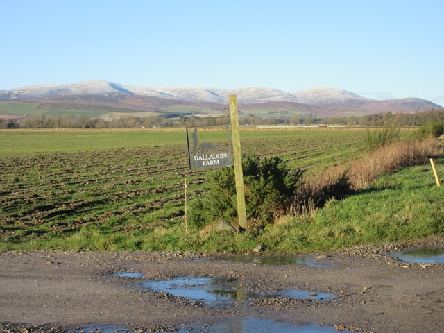
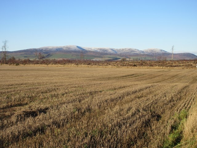
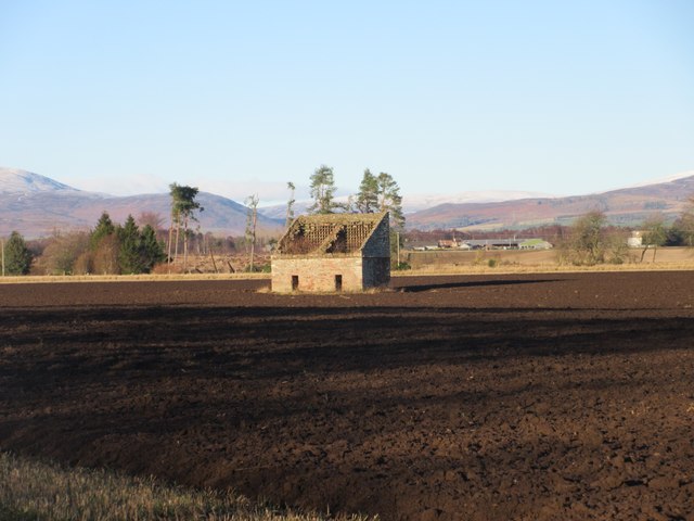
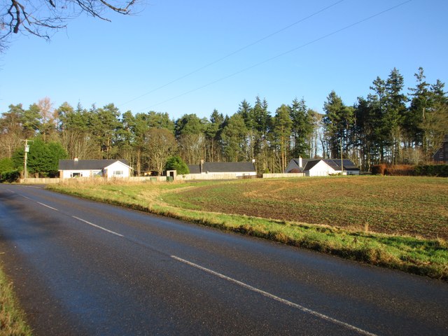
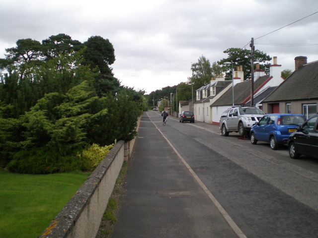
Inverury Wood, located in Kincardineshire, Scotland, is a stunning forest renowned for its natural beauty and diverse wildlife. Covering an area of approximately 500 acres, this ancient woodland offers a peaceful and tranquil escape for nature lovers and outdoor enthusiasts alike.

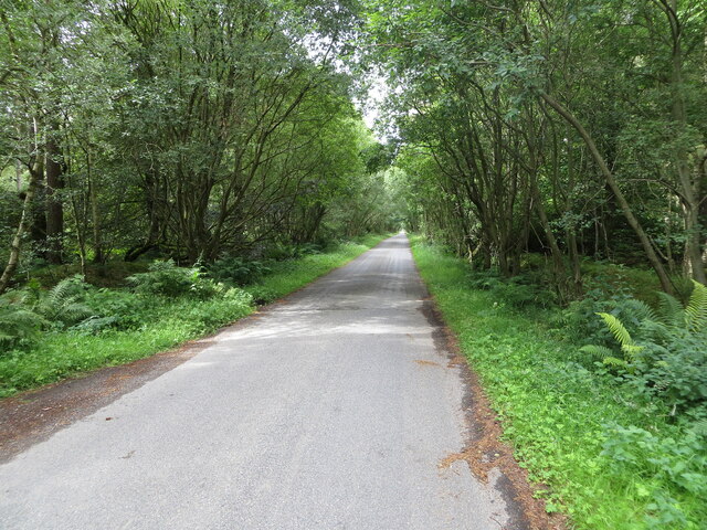
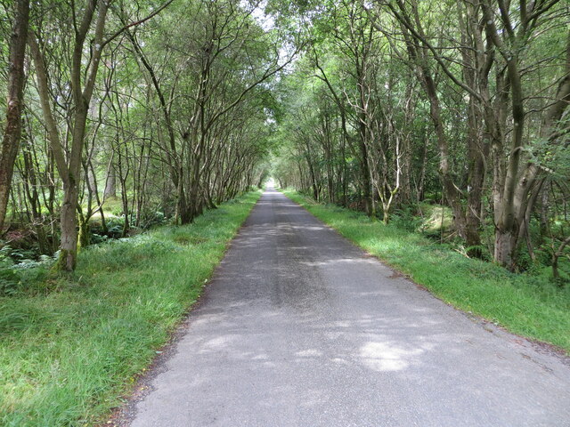
The wood is primarily composed of mixed broadleaf trees, including oak, beech, ash, and birch, creating a rich and varied habitat for numerous species of plants and animals. The dense canopy provides a cool and shady environment, making it an ideal spot for a leisurely stroll on a warm summer's day.

Inverury Wood is home to a plethora of wildlife. Birdwatchers will be delighted to spot various species, such as woodpeckers, owls, and red kites, while the keen-eyed observer may catch glimpses of deer, badgers, and foxes. The forest floor is carpeted with an array of wildflowers, including bluebells, primroses, and foxgloves, adding vibrant colors to the landscape.

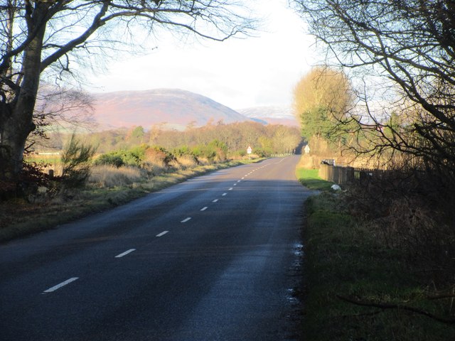
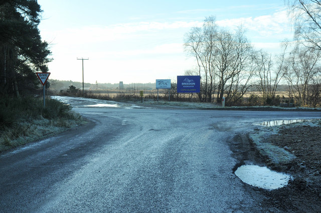
For those seeking outdoor activities, Inverury Wood offers several well-marked trails, suitable for walkers of all abilities. The paths wind through the woodland, crossing babbling streams and passing by picturesque ponds. Along the way, visitors can enjoy breathtaking views and the soothing sounds of nature.

Inverury Wood is a popular destination for both locals and tourists, offering a peaceful retreat from the bustling city life. Whether one seeks solitude or wishes to explore the wonders of nature, this enchanting forest provides a truly unforgettable experience for all who visit.

If you have any feedback on the listing, please let us know in the comments section below.

Inverury Wood Images

Images are sourced within 2km of 56.805082/-2.5816906 or Grid Reference NO6468. Thanks to Geograph Open Source API. All images are credited.

Minor road enclosed by Inverury Wood Looking north-westward.
Minor road enclosed by Inverury Wood
Looking north-westward.
Minor road passing through Inverury Wood Looking north-westward.
Minor road passing through Inverury Wood
Looking north-westward.
Drumhendry Trig Pillar The triangulation pillar at the eastern end of Drumhendry Plantation, lurking out of the undergrowth.
Drumhendry Trig Pillar
The triangulation pillar at the eastern end of Drumhendry Plantation, lurking out of the undergrowth.
Barley field near Inverury Wood Looking west over a field of barley from the edge of Inverury Wood, with Gawloch in the distance to the left.
Barley field near Inverury Wood
Looking west over a field of barley from the edge of Inverury Wood, with Gawloch in the distance to the left.
Barley field south of Luthermuir Looking north-eastwards over a field of barley, with Luthermuir in the distance.
Barley field south of Luthermuir
Looking north-eastwards over a field of barley, with Luthermuir in the distance.
Luthermuir Primary School Luthermuir Primary School from the roadside at the eastern end of the village.
Luthermuir Primary School
Luthermuir Primary School from the roadside at the eastern end of the village.
Barley field north of Luthermuir Vast field of barley to the north of Luthermuir, with the Hill of Wirren in the distance to the north-west.
Barley field north of Luthermuir
Vast field of barley to the north of Luthermuir, with the Hill of Wirren in the distance to the north-west.
Barley field at Luthermuir Looking south towards Luthermuir over a field of barley.
Barley field at Luthermuir
Looking south towards Luthermuir over a field of barley.
C6K (Aberdeenshire) Road heading north The C6K road heading northwards at Primrosehill towards Fettercairn.
C6K (Aberdeenshire) Road heading north
The C6K road heading northwards at Primrosehill towards Fettercairn.
Sign for Dalladies Dalladies Farm sign at the track entrance on the Lang Stracht, with the Hill of Wirren in the distance.
Sign for Dalladies
Dalladies Farm sign at the track entrance on the Lang Stracht, with the Hill of Wirren in the distance.
Lang Stracht at Cleary Wood The C2K (Aberdeenshire) road on the Lang Stracht, leaving Cleary Wood northwards.
Lang Stracht at Cleary Wood
The C2K (Aberdeenshire) road on the Lang Stracht, leaving Cleary Wood northwards.
Felled forest at Capo Felled forest at Capo Woods next to the Lang Stracht.
Felled forest at Capo
Felled forest at Capo Woods next to the Lang Stracht.
Stubble field by the Lang Stracht Stubble field towards the southern end of the Lang Stracht, with the cleared Capo Plantation beyond.
Stubble field by the Lang Stracht
Stubble field towards the southern end of the Lang Stracht, with the cleared Capo Plantation beyond.
Inglismaldie Dovecot The ruined 18th century dovecot in the middle of a field on the Inglismaldie Estate.
Inglismaldie Dovecot
The ruined 18th century dovecot in the middle of a field on the Inglismaldie Estate.
Cottages at Rosehill Three white-harled cottages viewed from the C6K road at Rosehill.
Cottages at Rosehill
Three white-harled cottages viewed from the C6K road at Rosehill.
Church Road, Luthermuir (towards SW) The church can be seen in the far background, to the left of the road.
Church Road, Luthermuir (towards SW)
The church can be seen in the far background, to the left of the road.
Church Road, Luthermuir, towards NE
Road junction near Edzell
Show me another place!

Inverury Wood is located at Grid Ref: NO6468 (Lat: 56.805082, Lng: -2.5816906)

Unitary Authority: Aberdeenshire

Police Authority: North East

What 3 Words

///soldiers.releasing.toads. Near Laurencekirk, Aberdeenshire

Related Wikis

Luthermuir

Luthermuir is a village in Aberdeenshire, Scotland, UK. Historically the village was home to weavers and labourers. == Facilities == Luthermuir is home...
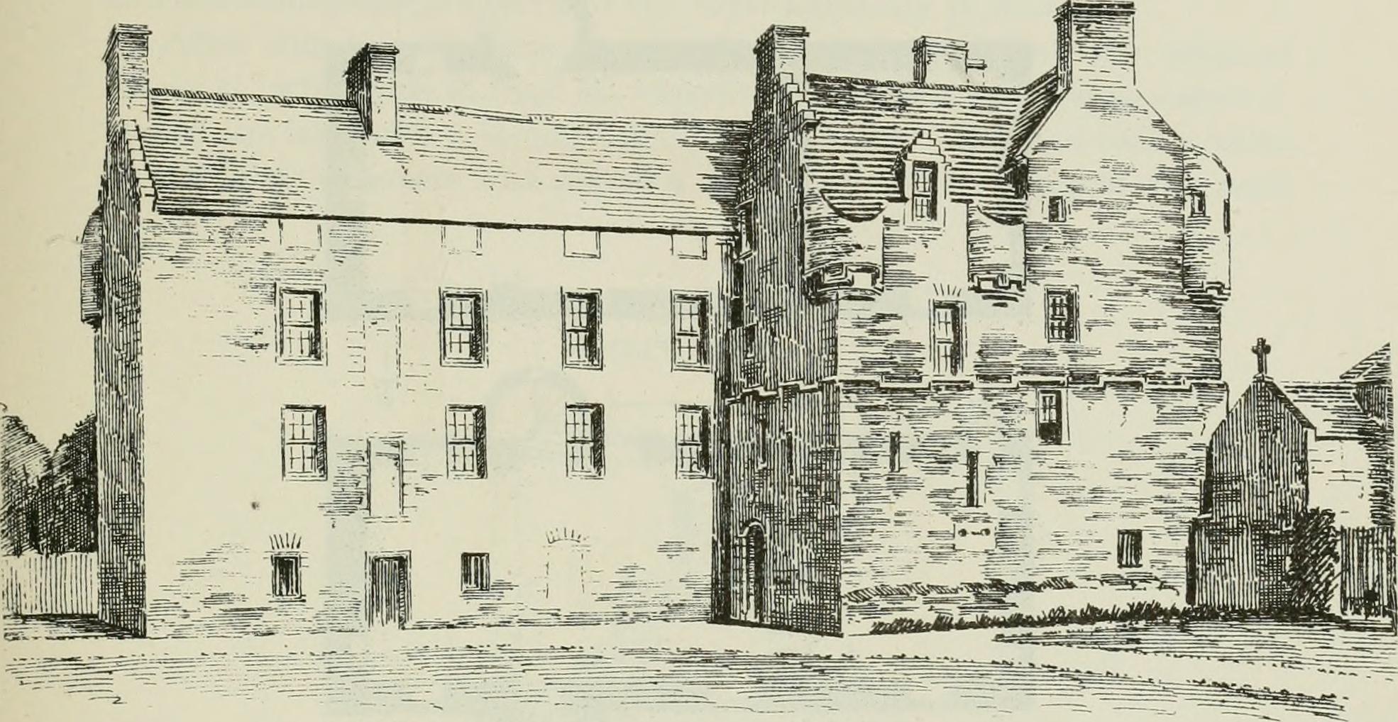
Inglismaldie Castle

Inglismaldie Castle is a castle in the parish of Marykirk and the county of Kincardineshire, Scotland. == History == The Tower House was built in 1636...

RAF Edzell

Royal Air Force Edzell or more simply RAF Edzell is a former Royal Air Force satellite station located in Aberdeenshire, one mile east of Edzell in Angus...

Luther Water

Luther Water is a generally southerly flowing river in Aberdeenshire, Scotland that discharges into the River North Esk. == Course == The watercourse rises...

Nearby Amenities

Located within 500m of 56.805082,-2.5816906
Power: pole
Lat/Long: 56.8050085/-2.589546
Power: pole
Lat/Long: 56.8053336/-2.5890695
The data included in this document is from www.openstreetmap.org. The data is made available under ODbL.

Have you been to Inverury Wood?

Leave your review of Inverury Wood below (or comments, questions and feedback).