Bonaparte's Covert

Wood, Forest in Berwickshire

Scotland

Bonaparte's Covert

A woodland edge at Fans
A woodland edge at Fans Credit: Walter Baxter

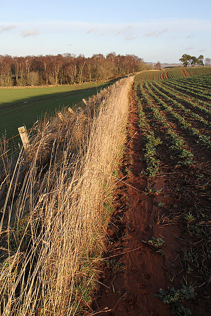
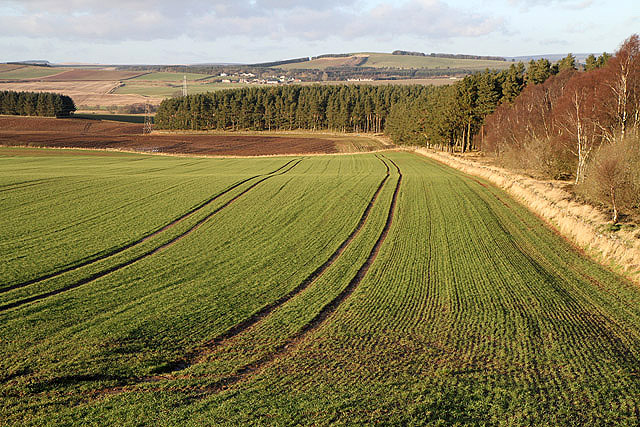
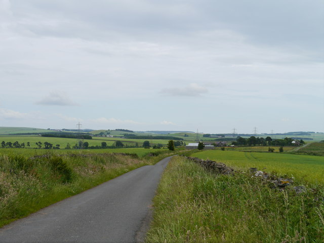
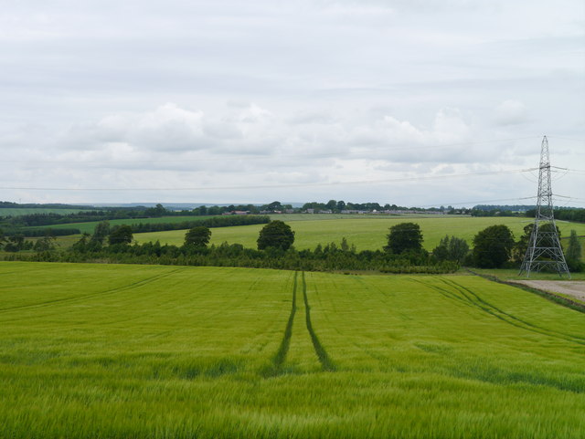
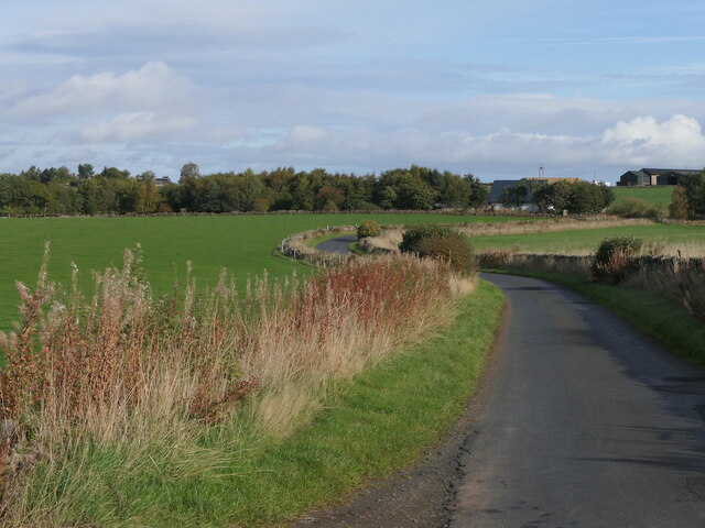
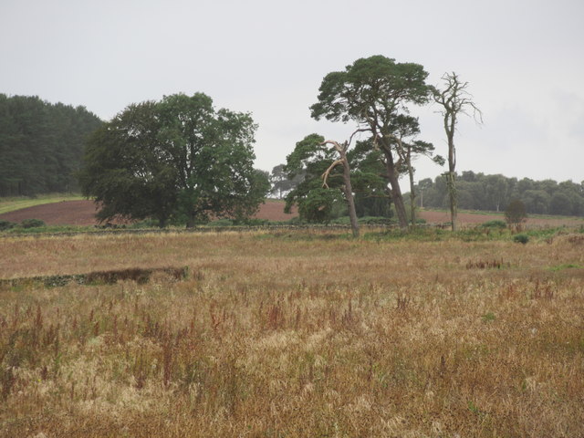
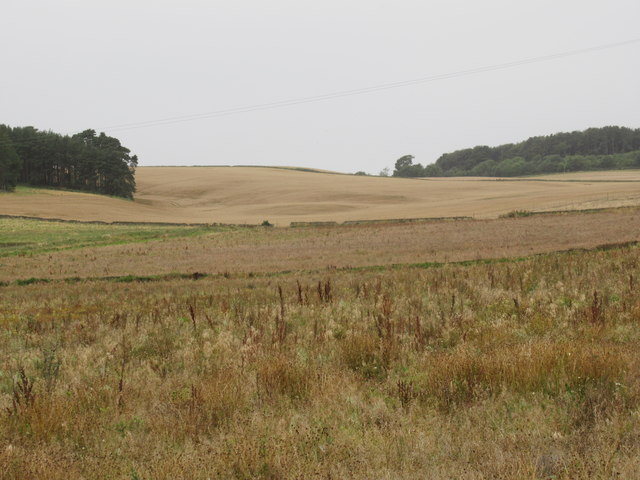
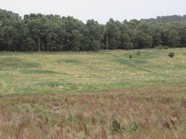
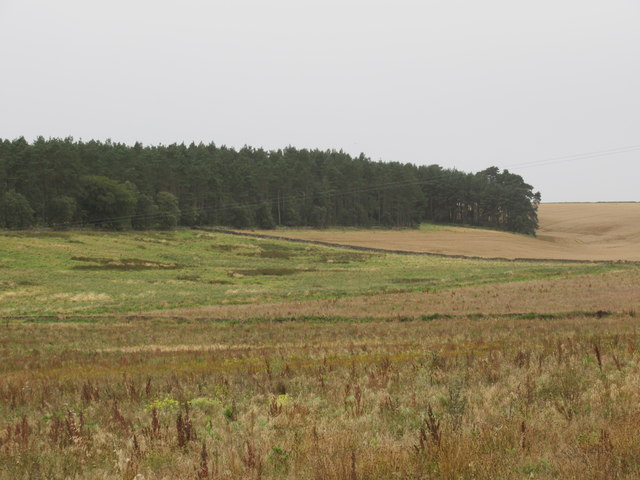
Bonaparte's Covert is a sprawling woodland located in Berwickshire, Scotland. Covering a vast area, it is known for its dense forest and enchanting natural beauty. The covert is situated in a remote location, providing a serene and tranquil atmosphere for visitors to immerse themselves in nature.

The woodland is abundant with a diverse range of tree species, including oak, beech, and birch, creating a rich and verdant landscape. The tall and majestic trees provide a canopy that filters the sunlight, casting a beautiful dappled effect on the forest floor. This creates a unique and captivating ambiance, perfect for those seeking a peaceful retreat from the hustle and bustle of everyday life.

Throughout Bonaparte's Covert, there are numerous walking trails and paths that wind their way through the woodland. These paths offer visitors the opportunity to explore the forest at their own pace, discovering hidden gems along the way. Wildlife is abundant in the covert, with squirrels, deer, and various bird species frequently spotted amongst the trees.

The woodland is not only breathtakingly beautiful but also holds historical significance. Legend has it that the covert was named after Napoleon Bonaparte, who allegedly sought refuge in the forest during his exile. Although the historical accuracy of this claim is debated, it adds an air of intrigue and mystique to the woodland.

Overall, Bonaparte's Covert in Berwickshire is a captivating and enchanting woodland, offering visitors a tranquil escape into nature. With its diverse flora and fauna, scenic walking trails, and intriguing history, it is a must-visit destination for nature enthusiasts and history buffs alike.

If you have any feedback on the listing, please let us know in the comments section below.

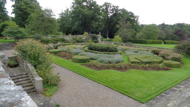
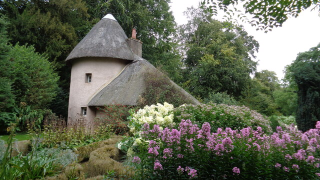
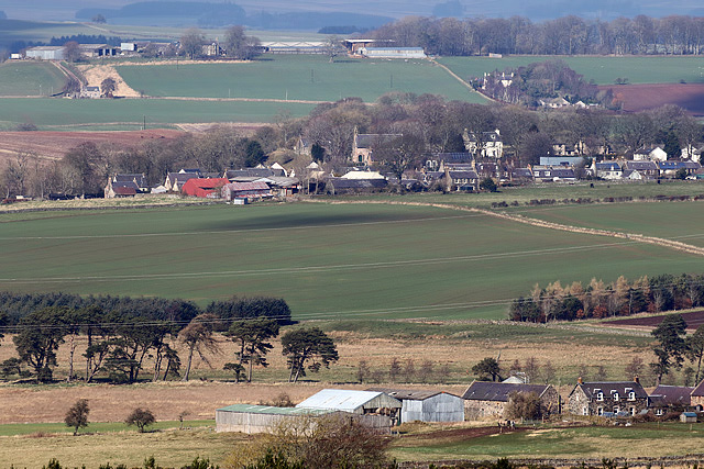
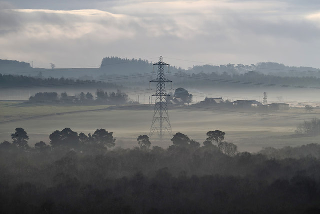
Bonaparte's Covert Images

Images are sourced within 2km of 55.656131/-2.5645937 or Grid Reference NT6440. Thanks to Geograph Open Source API. All images are credited.

A woodland edge at Fans
A field edge at Fans Hill Badger tracks were imprinted in the soil along the edge of this field of winter crops at Fans Hill. The rich red soil in this area comes from a layer of old red sandstone. For a close up view of the badger tracks, see <a href="https://www.geograph.org.uk/photo/2758923">NT6340 : Badger tracks at Fans Hill</a>.
A field edge at Fans Hill
Badger tracks were imprinted in the soil along the edge of this field of winter crops at Fans Hill. The rich red soil in this area comes from a layer of old red sandstone. For a close up view of the badger tracks, see NT6340 : Badger tracks at Fans Hill.
Badger tracks at Fans Hill A line of badger footprints ran along a field edge on the northeast side of the hill. For a view of the field edge, see <a href="https://www.geograph.org.uk/photo/2758915">NT6340 : A field edge at Fans Hill</a>. The rich red soil in this area comes from a layer of old red sandstone.
Badger tracks at Fans Hill
A line of badger footprints ran along a field edge on the northeast side of the hill. For a view of the field edge, see NT6340 : A field edge at Fans Hill. The rich red soil in this area comes from a layer of old red sandstone.
The triangulation pillar on Fans Hill Trig point S7890 is at 246m in a grazing area.
The triangulation pillar on Fans Hill
Trig point S7890 is at 246m in a grazing area.
An arable field at Fans Hill
Towards Lightfield Heading east along the Fans to Lightfield road under threatening skies.
Towards Lightfield
Heading east along the Fans to Lightfield road under threatening skies.
Barley Near Lightfield A view across ripening Barley to Gordon village.
Barley Near Lightfield
A view across ripening Barley to Gordon village.
Mellerstain House The south facade
Mellerstain House
The south facade
Road near Mellerstain
Formal garden On the south front of Mellerstain House
Formal garden
On the south front of Mellerstain House
The old cottage On the Mellerstain estate
The old cottage
On the Mellerstain estate
Lightfield Farm from Mellerstain Hill The farm is in the foreground with Gordon village in the background in this early April telephoto view.
Lightfield Farm from Mellerstain Hill
The farm is in the foreground with Gordon village in the background in this early April telephoto view.
A pylon at Lightfield Strip This telephoto shot was taken from the A6105 near Nether Huntlywood on a frosty December morning. Lightfield Farm is in the background.
A pylon at Lightfield Strip
This telephoto shot was taken from the A6105 near Nether Huntlywood on a frosty December morning. Lightfield Farm is in the background.
Old Milepost by the A6089, south of Gordon, Earlston parish Blaydon casting by the A6089, in parish of Earlston (Berwick District), South of Gordon, and near Shusie's Covert wood.

Inscription reads:-
: KELSO / 7 / MILES : : EDINBURGH / 35 / LAUDER / 10 :
Maker:-
: SMITH PATTERSON / BLAYDON : 

Surveyed

Milestone Society National ID: BD_KSED07
Old Milepost by the A6089, south of Gordon, Earlston parish
Blaydon casting by the A6089, in parish of Earlston (Berwick District), South of Gordon, and near Shusie's Covert wood. Inscription reads:- : KELSO / 7 / MILES : : EDINBURGH / 35 / LAUDER / 10 : Maker:- : SMITH PATTERSON / BLAYDON : Surveyed Milestone Society National ID: BD_KSED07
Big old trees near Lightfield by Gordon in the Scottish Borders
Arable ground beyond forestry-to-be near Lightfield in the Scottish Borders
Old pasture fields tree-planted near Lightfield in the Scottish Borders
Old pasture fields above free-draining ground ear-marked for pines near Lightfield by Gordon in the Scottish Borders
Show me another place!

Bonaparte's Covert is located at Grid Ref: NT6440 (Lat: 55.656131, Lng: -2.5645937)

Unitary Authority: The Scottish Borders

Police Authority: The Lothians and Scottish Borders

What 3 Words

///ideal.comply.tidy. Near Earlston, Scottish Borders

Related Wikis

Mellerstain House

Mellerstain House is a stately home around 8 miles (13 kilometres) north of Kelso in the Borders, Scotland. It is currently the home of George Baillie...

Gordon Moss

Gordon Moss is a nature reserve near Gordon, in the Scottish Borders area of Scotland, in the former Berwickshire. The moss is situated one mile west of...

Greenknowe Tower

Greenknowe Tower is a 16th-century tower house, located just west of the village of Gordon, in the Scottish Borders. Although a roofless ruin, the stonework...

Gordon, Scottish Borders

Gordon is a village in the Scottish Borders area of Scotland, within the historic county of Berwickshire. The village sits on the crossroads of the A6105...

Nearby Amenities

Located within 500m of 55.656131,-2.5645937
Power: pole
Lat/Long: 55.652529/-2.560313
Power: pole
Lat/Long: 55.653217/-2.5606904
Power: pole
Lat/Long: 55.6539073/-2.5610826
Power: pole
Lat/Long: 55.6544654/-2.5613768
Power: pole
Lat/Long: 55.6550126/-2.561688
Power: pole
Lat/Long: 55.6555695/-2.5620014
Power: pole
Lat/Long: 55.656142/-2.5623084
Power: pole
Lat/Long: 55.6567325/-2.5626239
Power: pole
Lat/Long: 55.6573302/-2.5629479
Power: pole
Lat/Long: 55.6579159/-2.5632784
Power: pole
Lat/Long: 55.6584354/-2.563579
Power: pole
Lat/Long: 55.6589621/-2.5638625
Power: pole
Lat/Long: 55.6596548/-2.5642355
Power: pole
Lat/Long: 55.6603223/-2.5646044
The data included in this document is from www.openstreetmap.org. The data is made available under ODbL.

Have you been to Bonaparte's Covert?

Leave your review of Bonaparte's Covert below (or comments, questions and feedback).