Littlehill Plantation
Wood, Forest in Berwickshire
Scotland
Littlehill Plantation

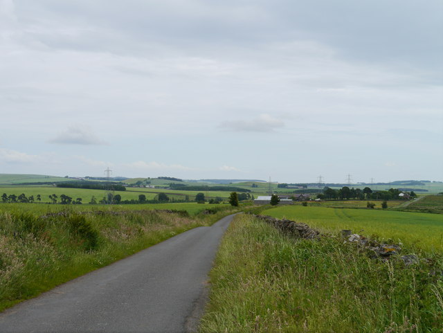
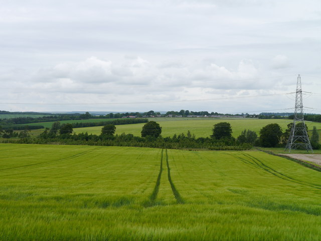
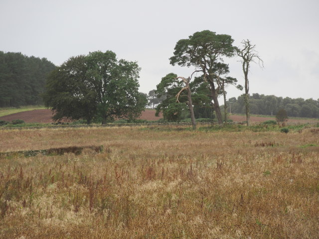
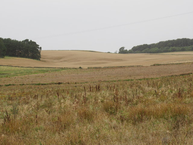
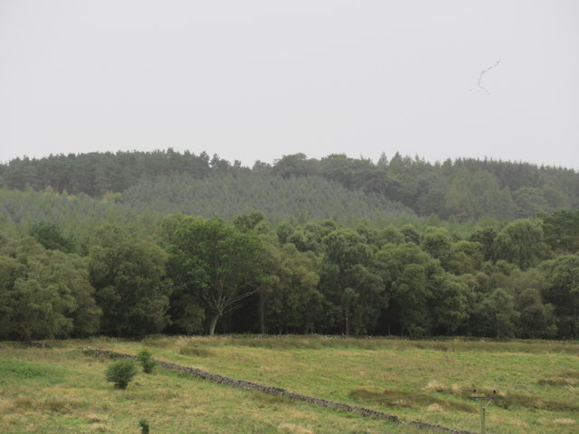
Littlehill Plantation is a picturesque woodland area located in the county of Berwickshire, Scotland. Covering an expanse of approximately 100 hectares, it is a captivating forest that offers visitors a serene and tranquil environment to explore.
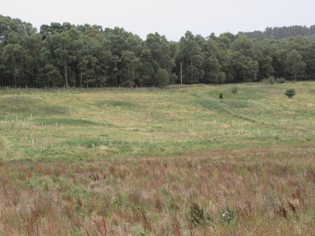
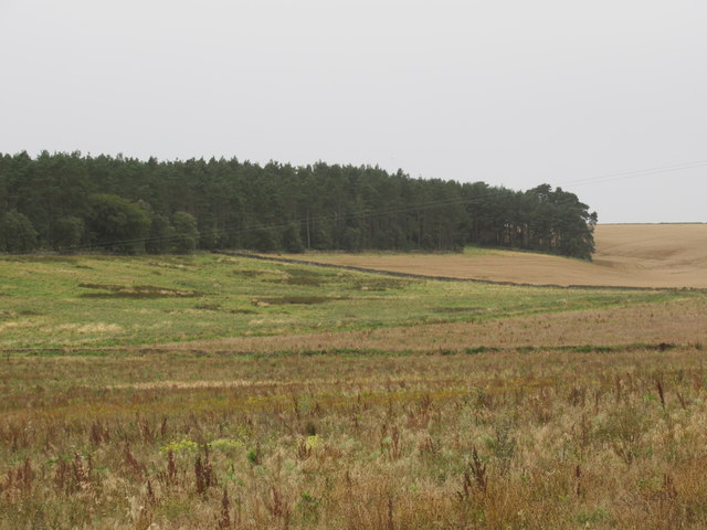
The plantation is predominantly composed of a diverse range of native tree species, including oak, beech, birch, and pine. These trees create a rich and varied habitat for numerous wildlife species, making it an ideal destination for nature enthusiasts and birdwatchers. The forest floor is adorned with a carpet of wildflowers during the spring and summer months, adding to the area's natural beauty.
Traversing through Littlehill Plantation, visitors can find a network of well-maintained footpaths and trails, allowing for leisurely walks or more adventurous hikes. The paths wind their way through the forest, offering glimpses of breathtaking vistas and panoramic views of the surrounding countryside.
The plantation is managed by local authorities, who ensure its upkeep and preservation. Regular maintenance work, such as tree thinning and replanting, is carried out to maintain the health and longevity of the woodland ecosystem.
Littlehill Plantation is not only a haven for nature lovers, but it also provides recreational opportunities for the local community and tourists alike. The plantation offers picnic areas and designated spots for camping, allowing visitors to fully immerse themselves in the natural surroundings.
Overall, Littlehill Plantation in Berwickshire is a cherished woodland area that showcases the natural beauty of the region. With its diverse flora and fauna, well-maintained trails, and recreational facilities, it is a popular destination for those seeking solace in nature's embrace.
If you have any feedback on the listing, please let us know in the comments section below.
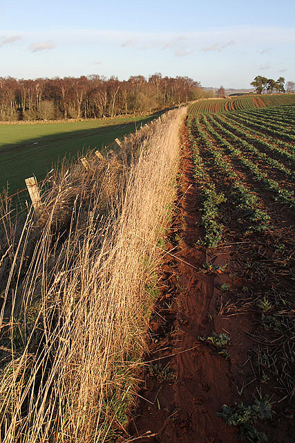
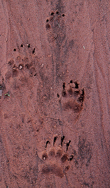
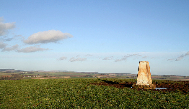
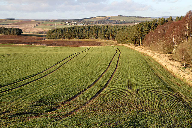
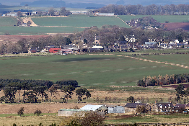
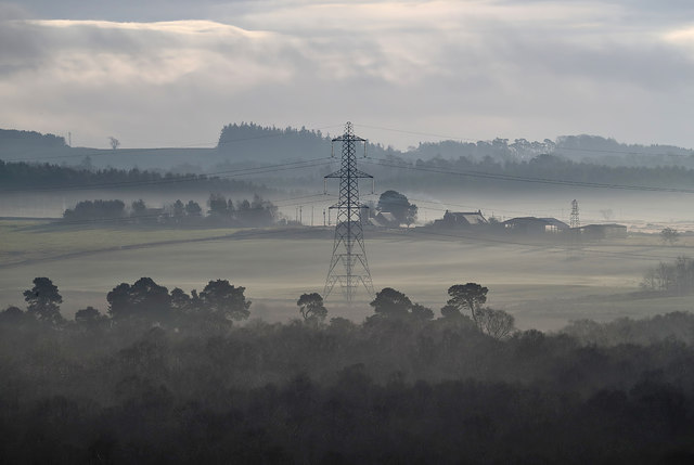
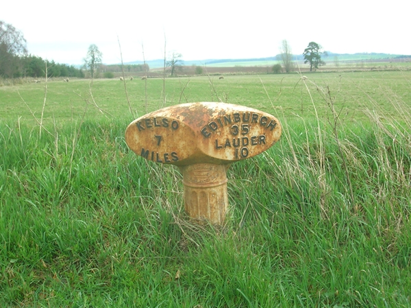
Littlehill Plantation Images
Images are sourced within 2km of 55.654246/-2.5700017 or Grid Reference NT6440. Thanks to Geograph Open Source API. All images are credited.
Littlehill Plantation is located at Grid Ref: NT6440 (Lat: 55.654246, Lng: -2.5700017)
Unitary Authority: The Scottish Borders
Police Authority: The Lothians and Scottish Borders
What 3 Words
///seeing.hack.prompts. Near Earlston, Scottish Borders
Nearby Locations
Related Wikis

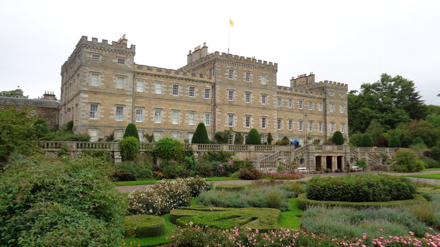
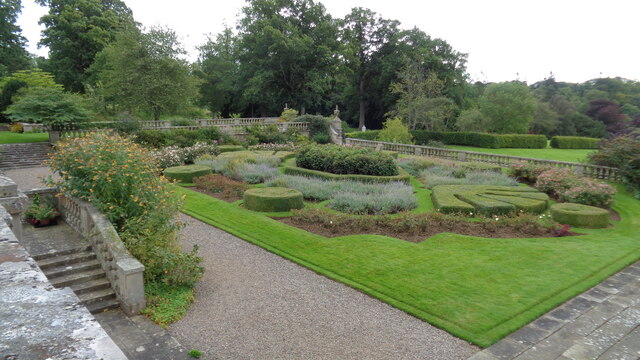
Mellerstain House
Mellerstain House is a stately home around 8 miles (13 kilometres) north of Kelso in the Borders, Scotland. It is currently the home of George Baillie...

Gordon Moss
Gordon Moss is a nature reserve near Gordon, in the Scottish Borders area of Scotland, in the former Berwickshire. The moss is situated one mile west of...

Greenknowe Tower
Greenknowe Tower is a 16th-century tower house, located just west of the village of Gordon, in the Scottish Borders. Although a roofless ruin, the stonework...

Gordon, Scottish Borders
Gordon is a village in the Scottish Borders area of Scotland, within the historic county of Berwickshire. The village sits on the crossroads of the A6105...
Have you been to Littlehill Plantation?
Leave your review of Littlehill Plantation below (or comments, questions and feedback).