Calderwood Wood
Wood, Forest in Roxburghshire
Scotland
Calderwood Wood
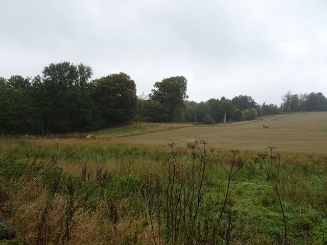
Calderwood Wood, located in Roxburghshire, Scotland, is a picturesque woodland area renowned for its natural beauty and rich biodiversity. Covering an expansive area of approximately 500 hectares, this enchanting forest offers a tranquil retreat for nature enthusiasts and outdoor adventurers alike.
The wood is predominantly composed of native broadleaf trees such as oak, birch, and beech, which create a dense canopy providing shade and shelter to a diverse range of flora and fauna. The forest floor is carpeted with vibrant wildflowers, ferns, and mosses, adding to the area's visual appeal.
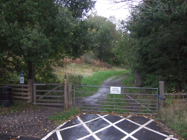
Calderwood Wood boasts an extensive network of well-maintained trails, making it a popular destination for walkers, hikers, and mountain bikers. These trails wind through the forest, offering visitors the chance to explore its hidden gems, including sparkling streams, cascading waterfalls, and ancient ruins.
The wood is also home to a variety of wildlife, making it a haven for nature lovers. Lucky visitors may spot red squirrels, roe deer, and a wide array of bird species, including the elusive capercaillie. The forest's peaceful ambiance and diverse ecosystem attract birdwatchers and wildlife photographers from far and wide.
For those seeking a more immersive experience, Calderwood Wood offers camping facilities and picnic areas, allowing visitors to spend extended periods surrounded by nature's tranquility. Whether one wishes to relax under the shade of a towering oak tree or embark on an adventurous hike, Calderwood Wood proves to be an idyllic destination for both nature enthusiasts and those simply seeking solace amidst Scotland's breathtaking landscapes.
If you have any feedback on the listing, please let us know in the comments section below.
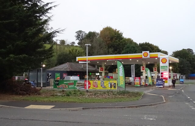
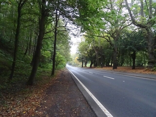
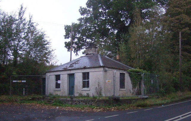
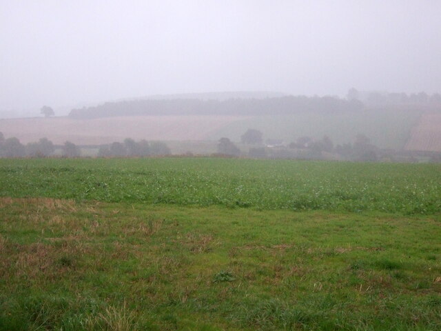
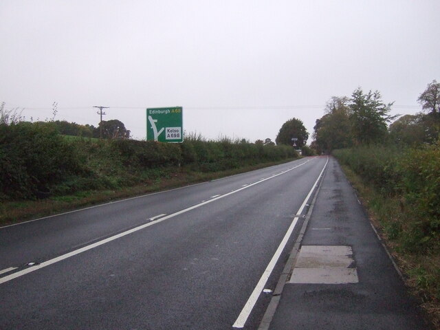
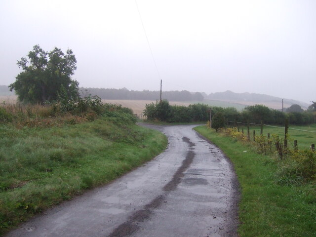
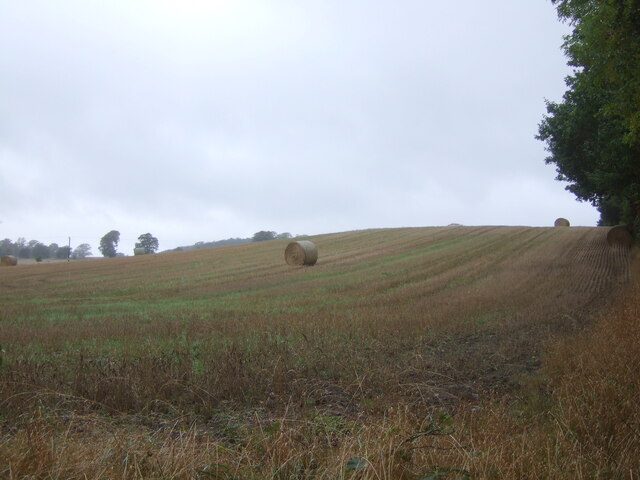
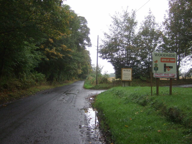
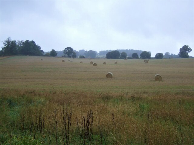
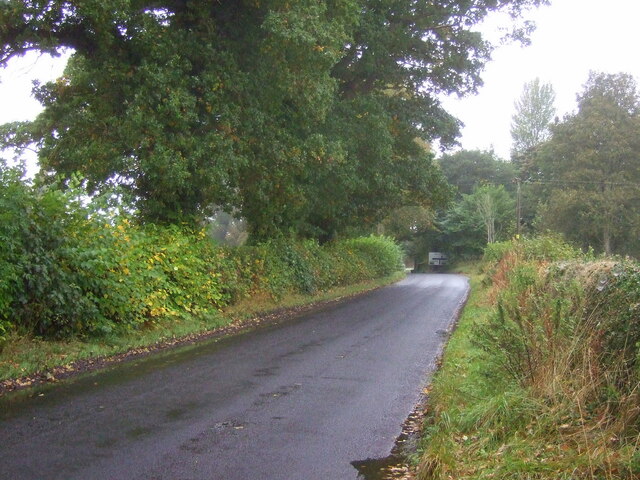
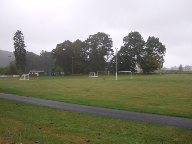
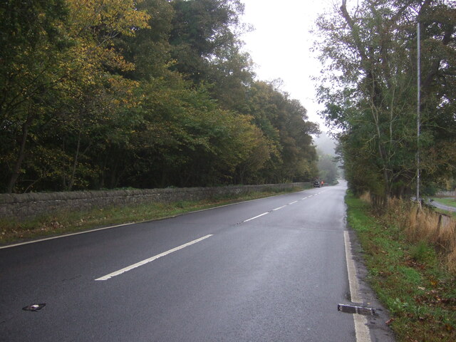
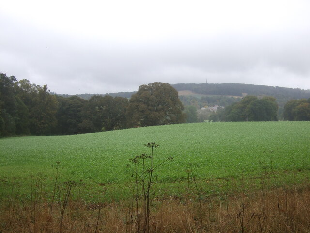
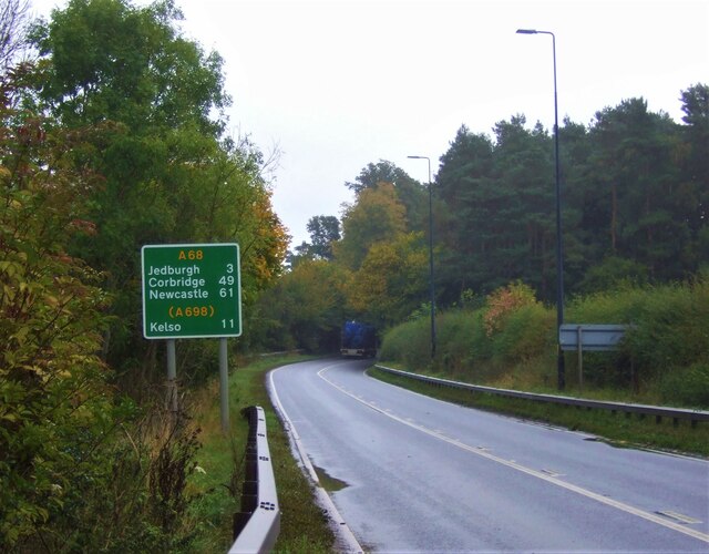
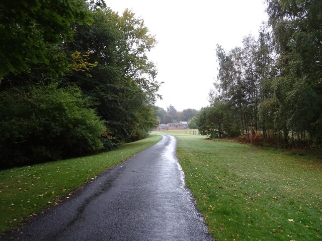
Calderwood Wood Images
Images are sourced within 2km of 55.499568/-2.5627305 or Grid Reference NT6423. Thanks to Geograph Open Source API. All images are credited.
Calderwood Wood is located at Grid Ref: NT6423 (Lat: 55.499568, Lng: -2.5627305)
Unitary Authority: The Scottish Borders
Police Authority: The Lothians and Scottish Borders
What 3 Words
///harnessed.should.shuttle. Near Jedburgh, Scottish Borders
Nearby Locations
Related Wikis

Timpendean Tower
Timpendean Tower (tim-pen-deen) or Typenden Castle as it was once known, is a ruined 15th-century tower house near Lanton, around 1.5 miles (2.4 km) north...

Bonjedward
Bonjedward (Scottish Gaelic: Bun Jedward) is a hamlet in the Scottish Borders area of Scotland, two miles north of Jedburgh where the Jed Water joins the...

Ale Water
The Ale Water is a tributary of the River Teviot, in the Scottish Borders area of Scotland. It rises at Henwoodie Hill and flows through Alemoor Loch....

Monteviot House
Monteviot House is the early 18th century home of the Marquess of Lothian, the politician better known as Michael Ancram. It is located on the River Teviot...

Jedburgh railway station
Jedburgh railway station served the town of Jedburgh, Scottish Borders, Scotland from 1856 to 1964 on the Jedburgh Railway. == History == The station opened...

Jedfoot railway station
Jedfoot railway station served the town of Jedburgh, Scottish Borders, Scotland from 1856 to 1948 on the Jedburgh Railway. == History == The station opened...

Jed Water
The Jed Water is a river and a tributary of the River Teviot in the Borders region of Scotland. In total the Jed Water is over 21.75 miles (35.00 km) long...

St John's Church, Jedburgh
St John's Church is a Scottish Episcopal church (part of the Anglican communion) in Jedburgh. It was founded by Cecil Chetwynd Kerr, Marchioness of Lothian...
Nearby Amenities
Located within 500m of 55.499568,-2.5627305Have you been to Calderwood Wood?
Leave your review of Calderwood Wood below (or comments, questions and feedback).