Riplaw
Lake, Pool, Pond, Freshwater Marsh in Roxburghshire
Scotland
Riplaw
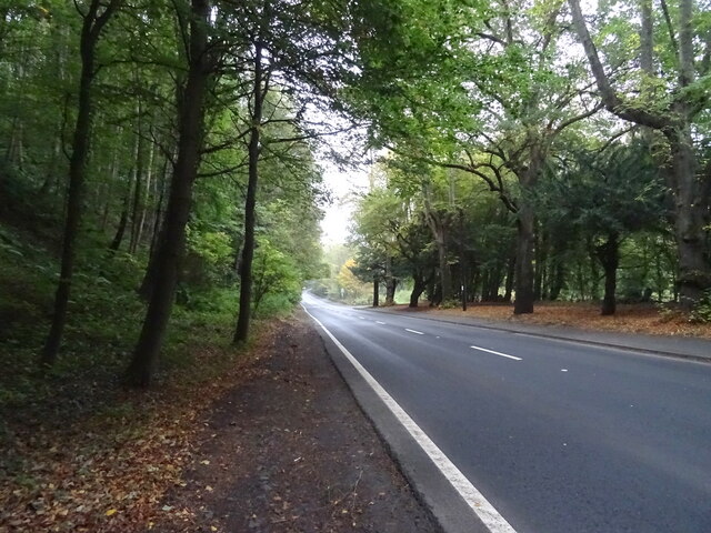
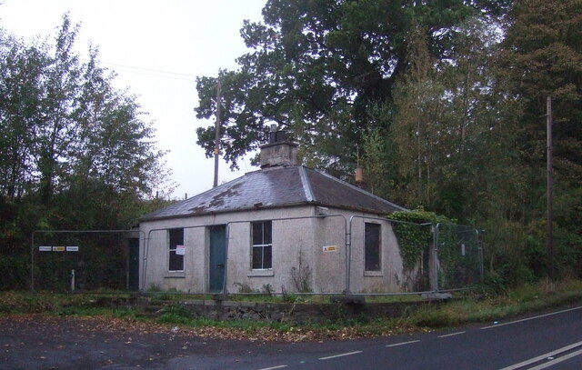
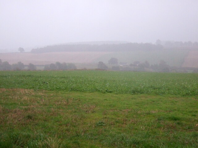
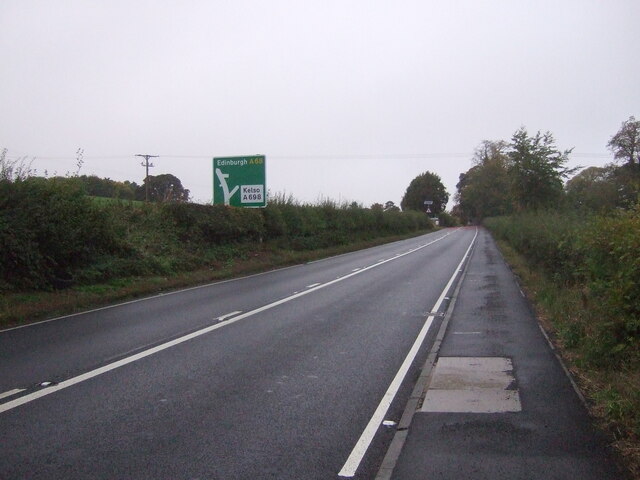
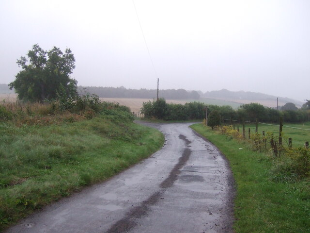
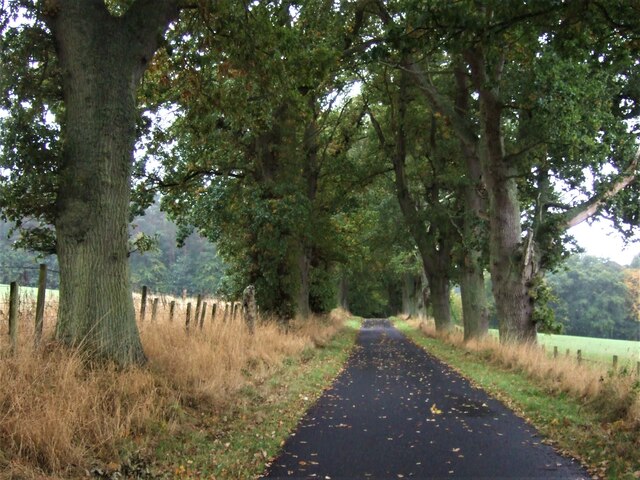
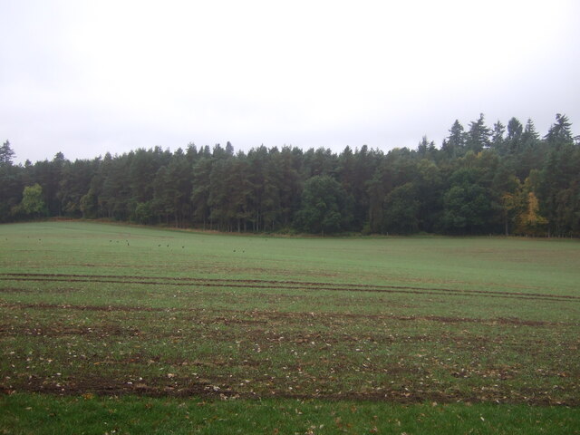
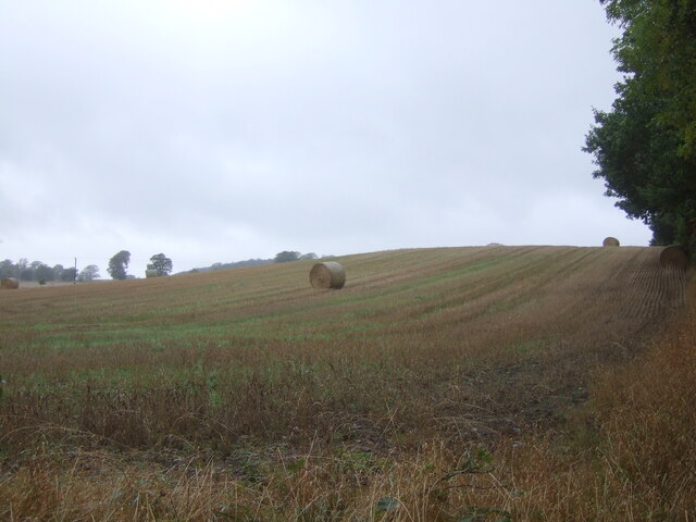
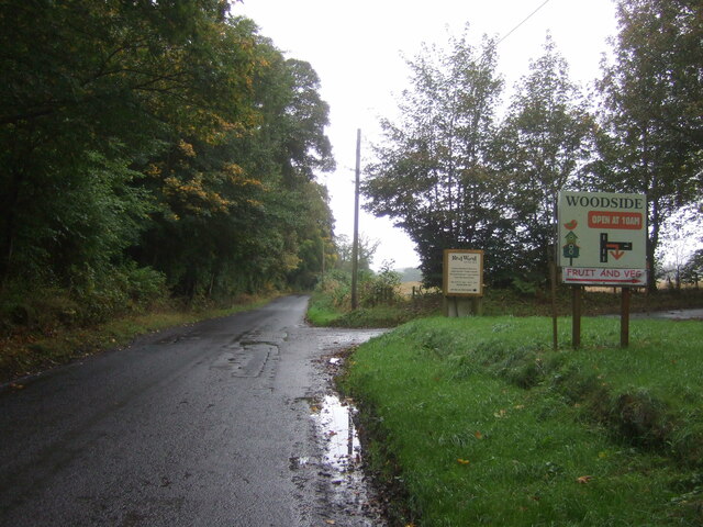
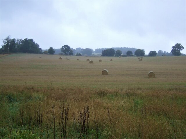
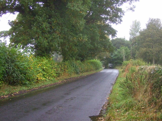
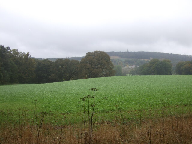
Riplaw is a small village located in Roxburghshire, a historic county in the Scottish Borders region of Scotland. Situated amidst picturesque landscapes and rolling hills, Riplaw is known for its charming freshwater marsh, which adds to the natural beauty of the area.
The freshwater marsh in Riplaw is a tranquil and serene body of water, encompassing a large area and hosting a variety of flora and fauna. It is a haven for numerous species of birds, including ducks, geese, herons, and swans, making it a popular spot for birdwatchers and nature enthusiasts. The marsh is also home to various aquatic plants, such as water lilies and reeds, which provide shelter and food for the wildlife.
The marsh in Riplaw acts as a natural filtration system, purifying and enriching the water, creating a healthy ecosystem for the diverse range of creatures that inhabit it. It is a peaceful retreat for those seeking solace in nature, offering a tranquil setting for walks, picnics, and photography.
The village of Riplaw itself is a close-knit community, with a small population that values its natural surroundings. The locals take pride in preserving the marsh and its surroundings, ensuring its protection for future generations to enjoy. Additionally, the marsh plays a crucial role in maintaining the ecological balance of the region, acting as a water reservoir and preventing flooding during heavy rainfall.
Overall, Riplaw in Roxburghshire is a delightful destination for nature lovers, offering a stunning freshwater marsh that is teeming with wildlife. Whether it's birdwatching, photography, or simply enjoying the peaceful ambiance, Riplaw's marsh provides a serene escape from the hustle and bustle of everyday life.
If you have any feedback on the listing, please let us know in the comments section below.
Riplaw Images
Images are sourced within 2km of 55.507902/-2.5638628 or Grid Reference NT6423. Thanks to Geograph Open Source API. All images are credited.
Riplaw is located at Grid Ref: NT6423 (Lat: 55.507902, Lng: -2.5638628)
Unitary Authority: The Scottish Borders
Police Authority: The Lothians and Scottish Borders
What 3 Words
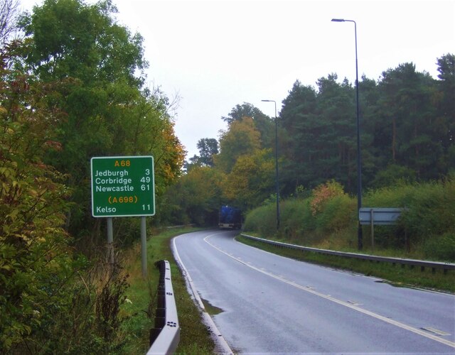
///bachelor.leaps.firewall. Near Jedburgh, Scottish Borders
Nearby Locations
Related Wikis

Monteviot House
Monteviot House is the early 18th century home of the Marquess of Lothian, the politician better known as Michael Ancram. It is located on the River Teviot...

Bonjedward
Bonjedward (Scottish Gaelic: Bun Jedward) is a hamlet in the Scottish Borders area of Scotland, two miles north of Jedburgh where the Jed Water joins the...

Jed Water
The Jed Water is a river and a tributary of the River Teviot in the Borders region of Scotland. In total the Jed Water is over 21.75 miles (35.00 km) long...

Ale Water
The Ale Water is a tributary of the River Teviot, in the Scottish Borders area of Scotland. It rises at Henwoodie Hill and flows through Alemoor Loch....
Nearby Amenities
Located within 500m of 55.507902,-2.5638628Have you been to Riplaw?
Leave your review of Riplaw below (or comments, questions and feedback).