Wirebank Plantation
Wood, Forest in Roxburghshire
Scotland
Wirebank Plantation
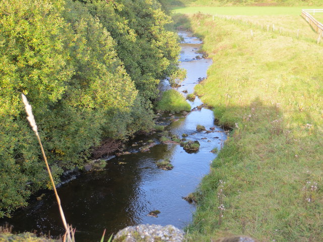
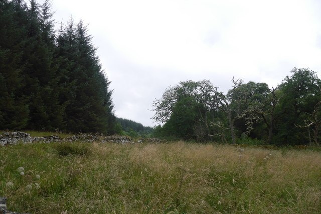
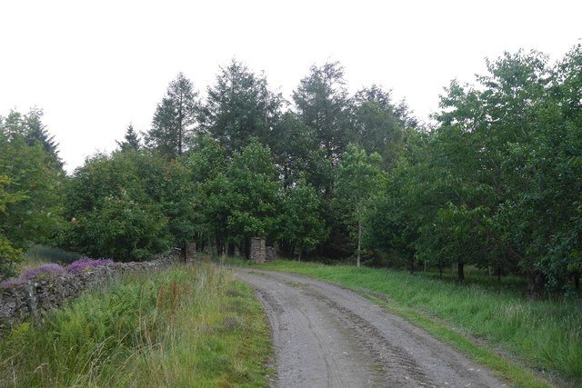
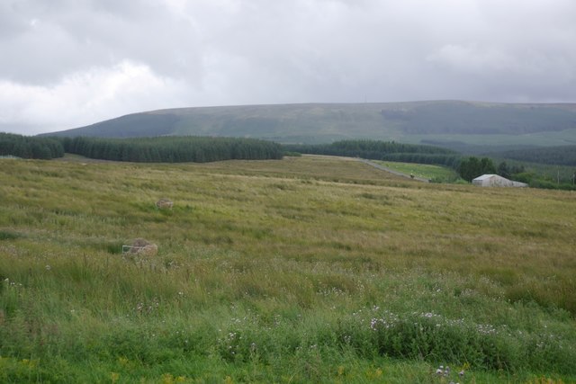
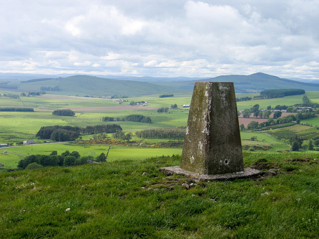
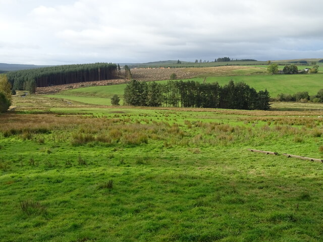
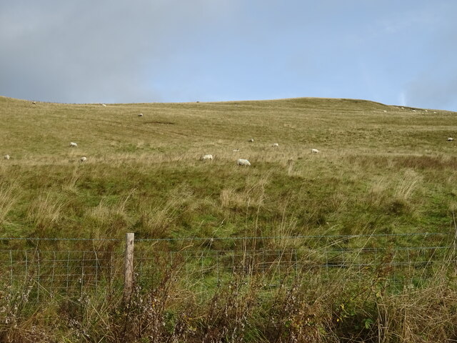
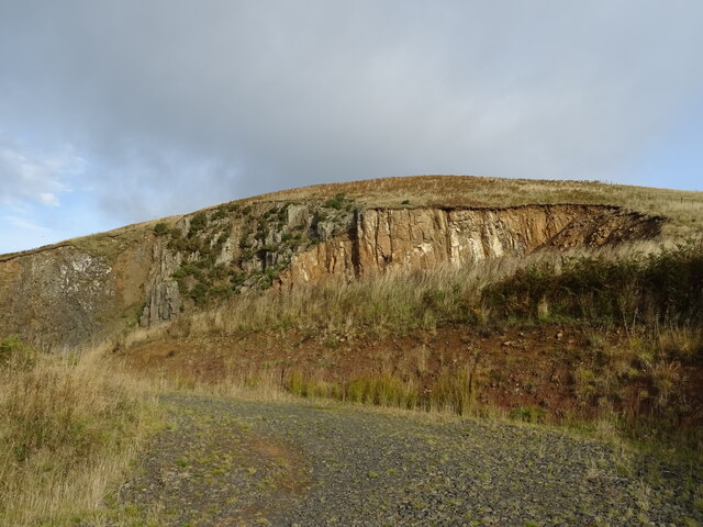
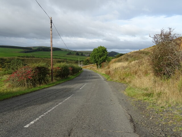
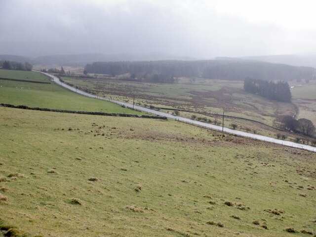
Wirebank Plantation is a sprawling wooded area located in Roxburghshire, Scotland. Covering an area of approximately 200 acres, the plantation is renowned for its diverse range of trees and lush vegetation. It is situated near the picturesque village of Wood, providing visitors with a tranquil and scenic environment.
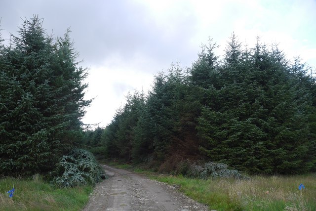
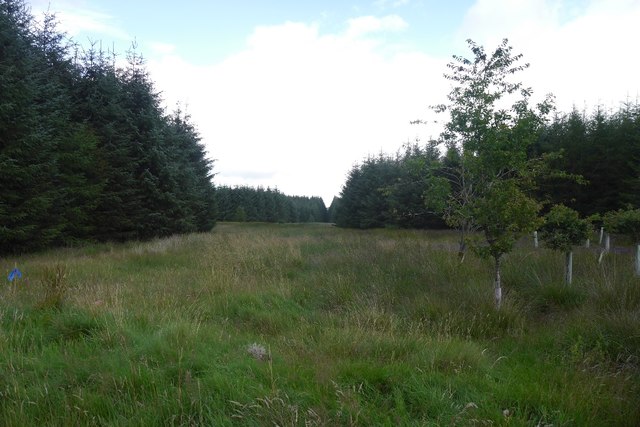
The plantation is primarily composed of native tree species such as oak, birch, and beech, which have thrived in the fertile soil and favorable climate of the region. These majestic trees create a dense canopy, filtering sunlight and creating a cool, shaded atmosphere. Additionally, the undergrowth is abundant with ferns, wildflowers, and mosses, adding to the overall natural beauty of the area.
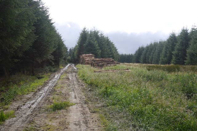
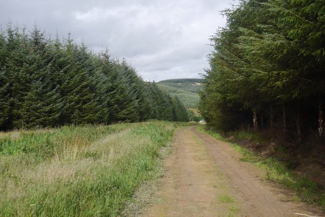
Wirebank Plantation offers a range of recreational activities for nature enthusiasts. There are numerous walking trails that wind through the forest, allowing visitors to explore its diverse ecosystems and observe the local wildlife. The plantation is home to a variety of bird species, including woodpeckers, owls, and thrushes, making it a popular spot for birdwatching.
In addition to its natural attractions, Wirebank Plantation also has historical significance. The estate dates back to the 18th century and has been carefully managed over the years to preserve its natural integrity. The plantation's rich history can be seen in the remnants of old stone walls and the occasional ruins of cottages that were once inhabited by estate workers.
Overall, Wirebank Plantation is a hidden gem in Roxburghshire, offering visitors a chance to immerse themselves in the beauty of nature while also experiencing a slice of local history. Whether it's a leisurely walk through the woods or a birdwatching adventure, the plantation provides a peaceful and rejuvenating escape for all who visit.
If you have any feedback on the listing, please let us know in the comments section below.
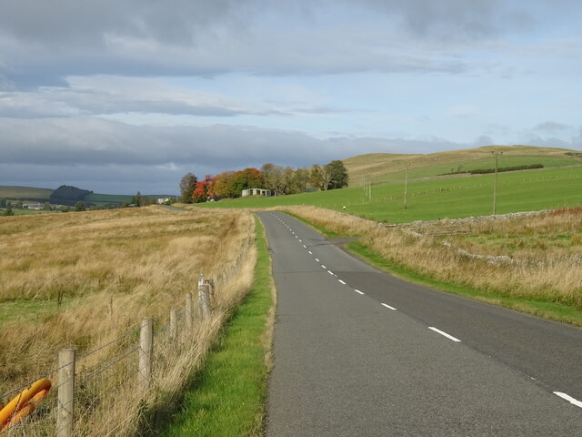
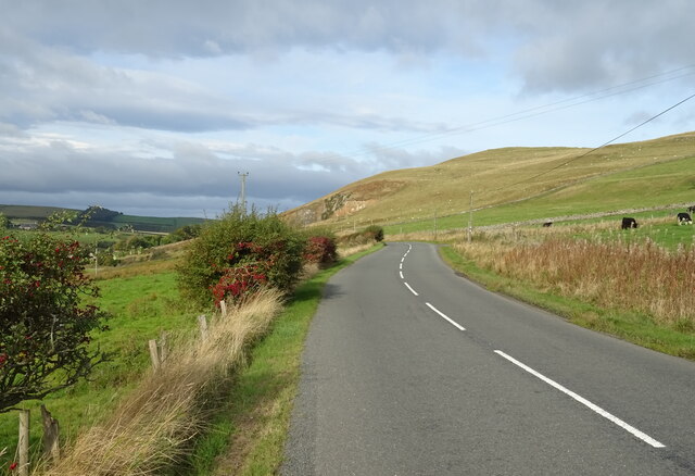
Wirebank Plantation Images
Images are sourced within 2km of 55.387514/-2.561469 or Grid Reference NT6410. Thanks to Geograph Open Source API. All images are credited.

Wirebank Plantation is located at Grid Ref: NT6410 (Lat: 55.387514, Lng: -2.561469)
Unitary Authority: The Scottish Borders
Police Authority: The Lothians and Scottish Borders
What 3 Words
///menswear.depth.singing. Near Jedburgh, Scottish Borders
Nearby Locations
Related Wikis

Southdean
Southdean is a hamlet in the Scottish Borders area of Scotland, on the A6088, by the Jed Water and in the Wauchope Forest area. Other settlements nearby...

Abbotrule
Abbotrule is a hamlet south of the B6357 road, in the Scottish Borders area of Scotland, on Rule Burn, east of the Rule Water. Places nearby include Bedrule...

Camptown, Scottish Borders
Camptown is a small settlement on the A68, in the Scottish Borders area of Scotland, 5m (8 km) south of Jedburgh, and the same distance south to Carter...

Edgerston
Edgerston is a village and an estate about 4 miles (6.4 km) north of the Anglo-Scottish border, and 8 miles (13 km) south of Jedburgh in the Scottish Borders...

Bairnkine
Bairnkine is a hamlet on the Jed Water in the Scottish Borders area of Scotland, on the A68, south of Jedburgh. Other places nearby include Abbotrule,...

Scottish Borders
The Scottish Borders (Scots: the Mairches, lit. 'the Marches'; Scottish Gaelic: Crìochan na h-Alba) is one of 32 council areas of Scotland. It is bordered...

Hobkirk
Hobkirk (Scottish Gaelic: Eaglais Ruail) is a village and civil parish in the Scottish Borders area of Scotland, by the Rule Water, south-west of Jedburgh...

Bonchester Bridge
Bonchester Bridge (Scots Binster Brig) is a village in Roxburghshire, within the Scottish Borders area of Scotland, lying on the Rule Water, six miles...
Have you been to Wirebank Plantation?
Leave your review of Wirebank Plantation below (or comments, questions and feedback).