Square Wood
Wood, Forest in Angus
Scotland
Square Wood
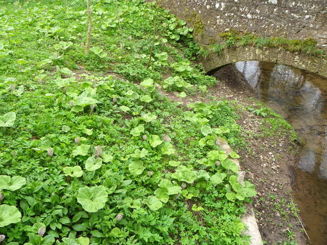
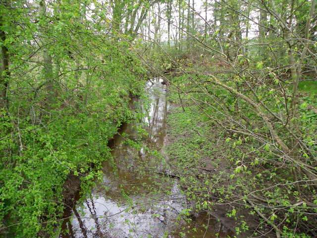
Square Wood, Angus (also known as Wood, Forest) is a picturesque wooded area located in the county of Angus, Scotland. Covering an approximate area of 100 acres, the woodland is characterized by its dense, mature trees and diverse ecosystem.
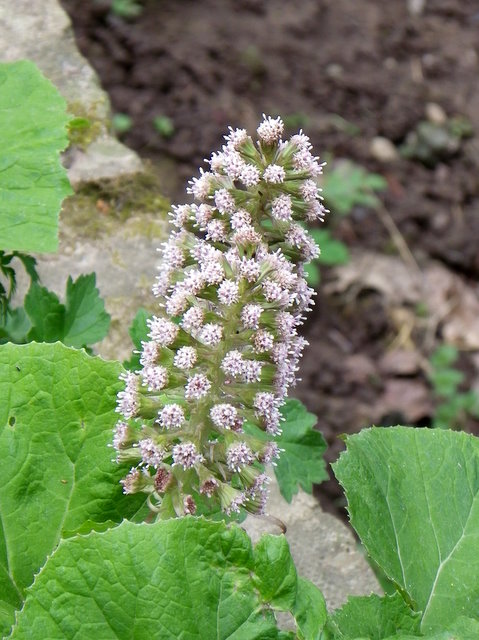
The wood is primarily composed of native tree species such as oak, birch, beech, and Scots pine, creating a stunning and vibrant canopy throughout the year. These trees provide a habitat for a variety of wildlife, including birds, mammals, and insects. Visitors to Square Wood may have the opportunity to spot species such as red squirrels, roe deer, and a wide range of bird species, making it a popular spot for nature enthusiasts and birdwatchers.
The woodland is also home to a network of well-maintained walking trails, which allow visitors to explore the area at their own pace. These trails meander through the wood, offering breathtaking views of the surrounding landscape and providing a peaceful and tranquil environment for visitors to enjoy. Additionally, there are designated picnic areas and benches located throughout the wood, providing the perfect setting for a relaxing outdoor lunch or a moment of quiet contemplation.
Square Wood, Angus is managed by the local authorities, who strive to maintain its natural beauty and protect its biodiversity. Access to the wood is free, making it accessible to all members of the public. Whether it's a leisurely stroll, a birdwatching expedition, or simply an escape from the hustle and bustle of everyday life, Square Wood offers a serene and magical experience for visitors of all ages.
If you have any feedback on the listing, please let us know in the comments section below.
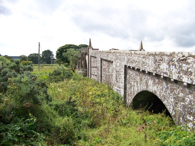
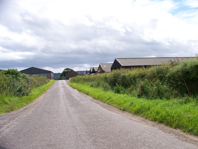
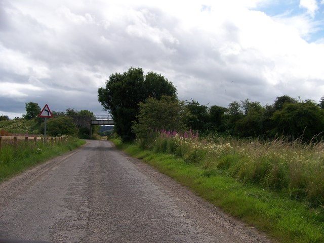
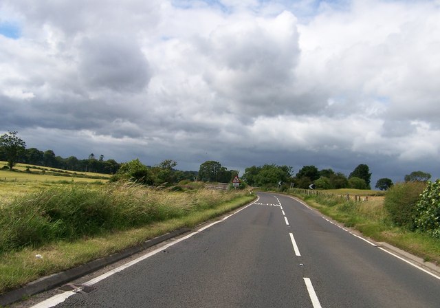
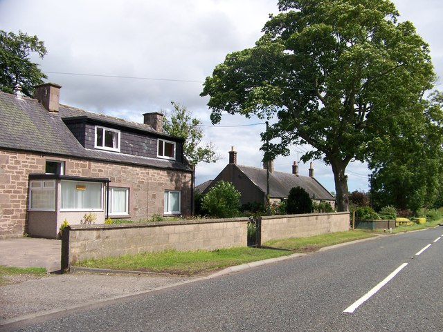
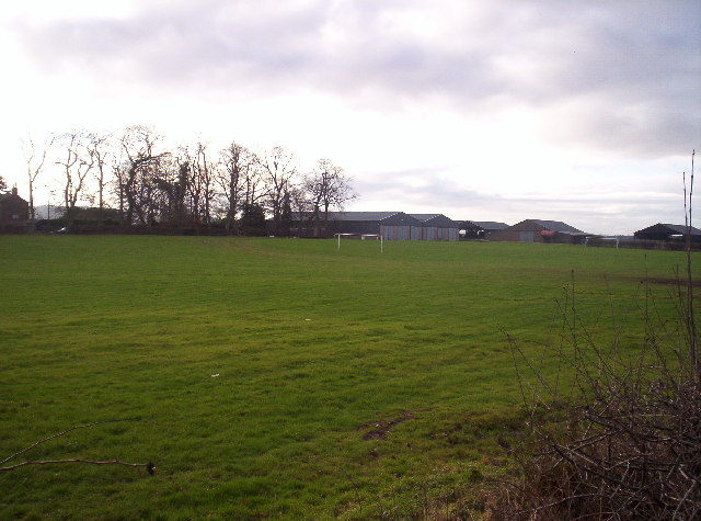
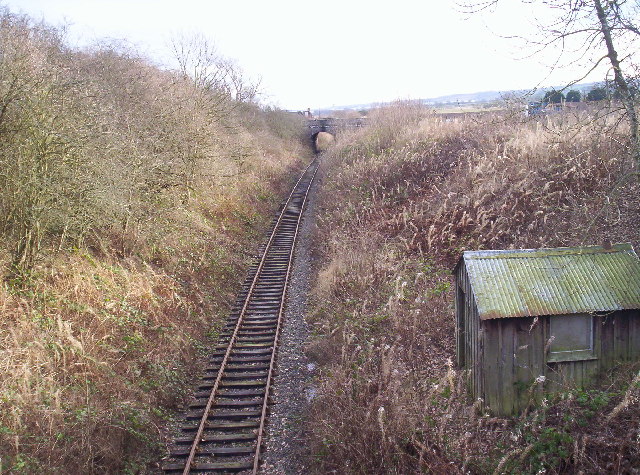
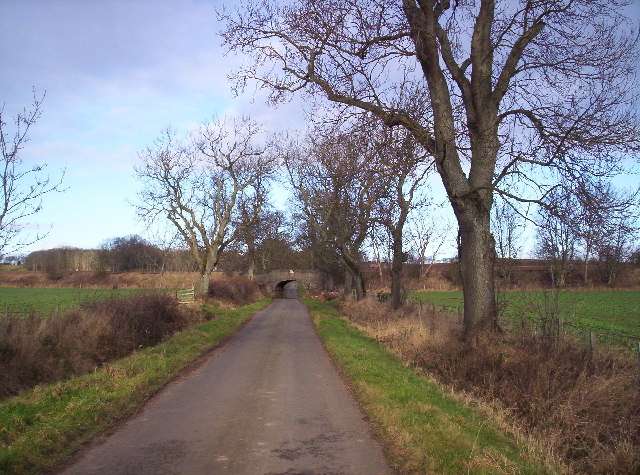
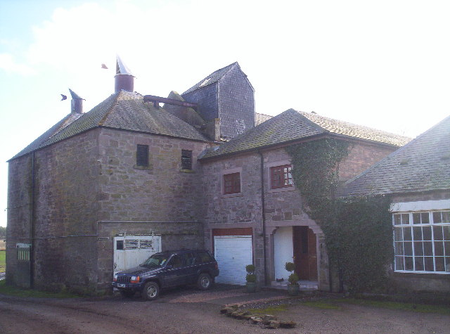
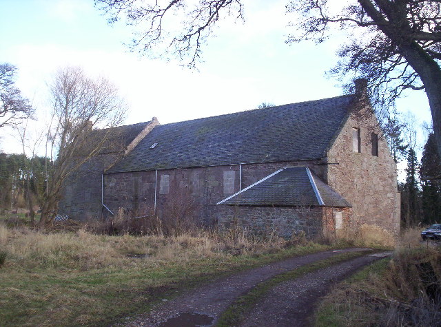
Square Wood Images
Images are sourced within 2km of 56.712875/-2.5811321 or Grid Reference NO6458. Thanks to Geograph Open Source API. All images are credited.
Square Wood is located at Grid Ref: NO6458 (Lat: 56.712875, Lng: -2.5811321)
Unitary Authority: Angus
Police Authority: Tayside
What 3 Words
///rewrites.lecturing.springing. Near Brechin, Angus
Nearby Locations
Related Wikis

Kinnaird Castle, Brechin
Kinnaird Castle is a 15th-century castle near Brechin in Angus, Scotland. The castle has been home to the Carnegie family, the Earls of Southesk, for more...

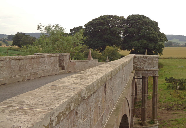
Bridge of Dun
Bridge of Dun is a village in Angus, Scotland, located north of the River South Esk and south of the A935 road from Brechin to Montrose. == History... ==

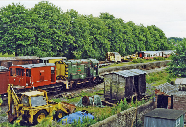
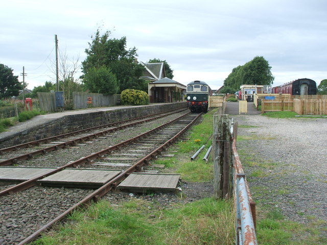
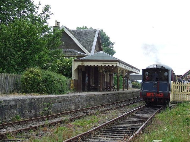
Bridge of Dun railway station
Bridge of Dun is a privately owned station in Angus. The adjacent platforms and line are independently operated as a preserved railway by the Caledonian...

Dun, Angus
Dun is a rural parish in Angus, Scotland. It contains the House of Dun, home of the Erskine family and is a stop on the Caledonian Railway. It is located...
Old Montrose
Old Montrose is an estate in Montrose, Angus, Scotland. The lands and house of Old Montrose were given to David de Graham of Kincardine, in exchange for...
House of Dun
The House of Dun is a National Trust for Scotland property in the parish of Dun, lying close to the edge of Montrose Basin and situated approximately halfway...

Farnell, Angus
Farnell is a village in Angus, Scotland. It lies 2 miles south of the River South Esk, between Brechin and Montrose, near Kinnaird Castle. == References ==
Farnell Road railway station
Farnell Road railway station served the village of Farnell, Angus, Scotland from 1848 to 1956 on the Aberdeen Railway. == History == The station opened...
Nearby Amenities
Located within 500m of 56.712875,-2.5811321Have you been to Square Wood?
Leave your review of Square Wood below (or comments, questions and feedback).