Horse Pool
Lake, Pool, Pond, Freshwater Marsh in Angus
Scotland
Horse Pool
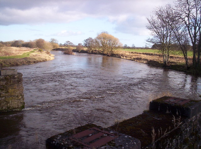
Horse Pool, located in the Angus region, is a picturesque body of water that can be classified as a lake, pool, pond, or freshwater marsh, depending on the season and water levels. Spanning over a significant area, it is a natural feature that has become an integral part of the local ecosystem.
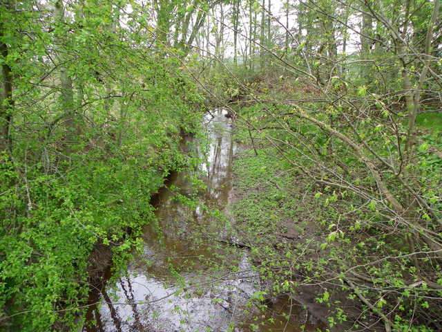
During the wetter months, Horse Pool transforms into a sizable lake, fed by various streams and runoff from surrounding hills. Its expansive surface reflects the vibrant hues of the sky, creating a mesmerizing sight for visitors. The lake is known for its calm and serene atmosphere, making it a popular spot for fishing enthusiasts seeking tranquility or families looking for a peaceful picnic spot.
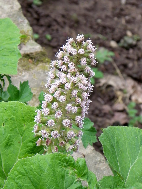
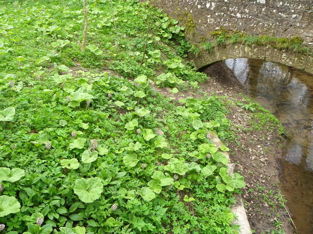
As the dry season approaches, the water levels in Horse Pool recede, revealing a complex network of interconnected ponds and channels. These smaller bodies of water provide a haven for a diverse range of flora and fauna, including aquatic plants, waterfowl, amphibians, and insects. The marshy areas surrounding the ponds are teeming with life, offering a sanctuary for various bird species and other wetland creatures.
Horse Pool is not only a natural beauty but also a crucial habitat for different organisms. It serves as a breeding ground for many aquatic species and plays a vital role in maintaining the ecological balance of the region. The surrounding vegetation provides food and shelter for the resident and migratory wildlife, making it an essential stopover for bird species during their annual migrations.
With its scenic views and ecological significance, Horse Pool continues to be a cherished natural asset in the Angus region, attracting nature lovers, photographers, and wildlife enthusiasts alike.
If you have any feedback on the listing, please let us know in the comments section below.
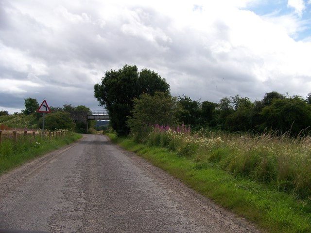
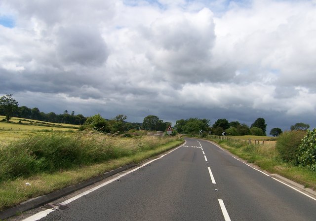
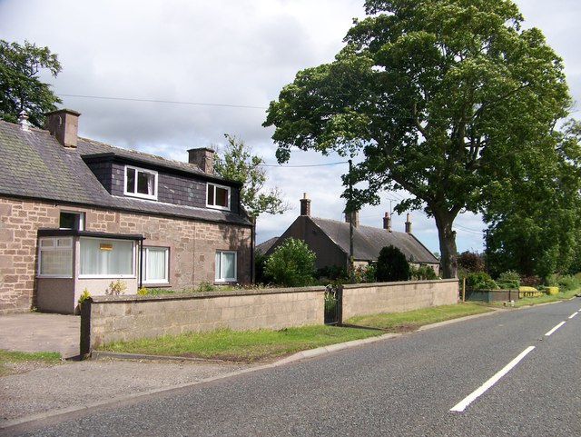
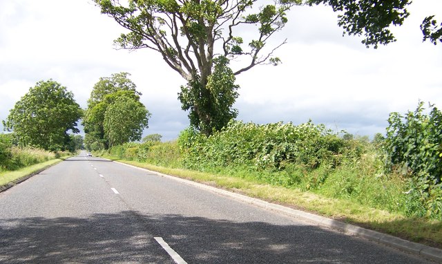
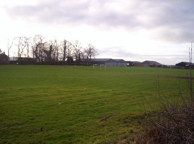
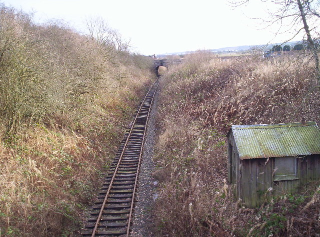
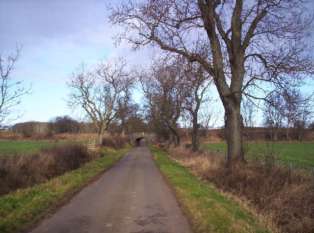
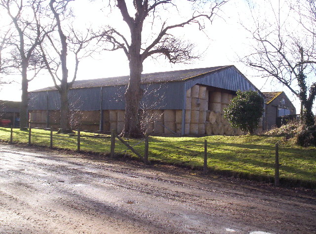
Horse Pool Images
Images are sourced within 2km of 56.713505/-2.588493 or Grid Reference NO6458. Thanks to Geograph Open Source API. All images are credited.
Horse Pool is located at Grid Ref: NO6458 (Lat: 56.713505, Lng: -2.588493)
Unitary Authority: Angus
Police Authority: Tayside
What 3 Words
///falters.megawatt.score. Near Brechin, Angus
Nearby Locations
Related Wikis

Kinnaird Castle, Brechin
Kinnaird Castle is a 15th-century castle near Brechin in Angus, Scotland. The castle has been home to the Carnegie family, the Earls of Southesk, for more...

Bridge of Dun
Bridge of Dun is a village in Angus, Scotland, located north of the River South Esk and south of the A935 road from Brechin to Montrose. == History... ==

Bridge of Dun railway station
Bridge of Dun is a privately owned station in Angus. The adjacent platforms and line are independently operated as a preserved railway by the Caledonian...

Farnell, Angus
Farnell is a village in Angus, Scotland. It lies 2 miles south of the River South Esk, between Brechin and Montrose, near Kinnaird Castle. == References ==

Dun, Angus
Dun is a rural parish in Angus, Scotland. It contains the House of Dun, home of the Erskine family and is a stop on the Caledonian Railway. It is located...
Farnell Road railway station
Farnell Road railway station served the village of Farnell, Angus, Scotland from 1848 to 1956 on the Aberdeen Railway. == History == The station opened...
Old Montrose
Old Montrose is an estate in Montrose, Angus, Scotland. The lands and house of Old Montrose were given to David de Graham of Kincardine, in exchange for...
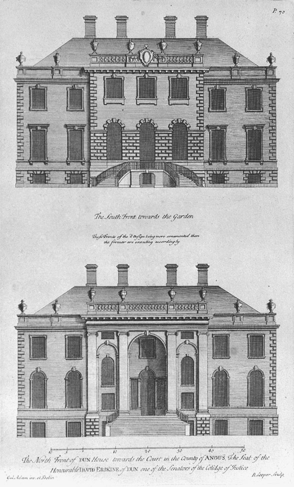
House of Dun
The House of Dun is a National Trust for Scotland property in the parish of Dun, lying close to the edge of Montrose Basin and situated approximately halfway...
Nearby Amenities
Located within 500m of 56.713505,-2.588493Have you been to Horse Pool?
Leave your review of Horse Pool below (or comments, questions and feedback).