Blencarn Lake

Lake, Pool, Pond, Freshwater Marsh in Cumberland Eden

England

Blencarn Lake

Grazing land near Kirkland Grazing land near Kirkland, the track leads to Cross Fell.
Grazing land near Kirkland Credit: Colin Kinnear

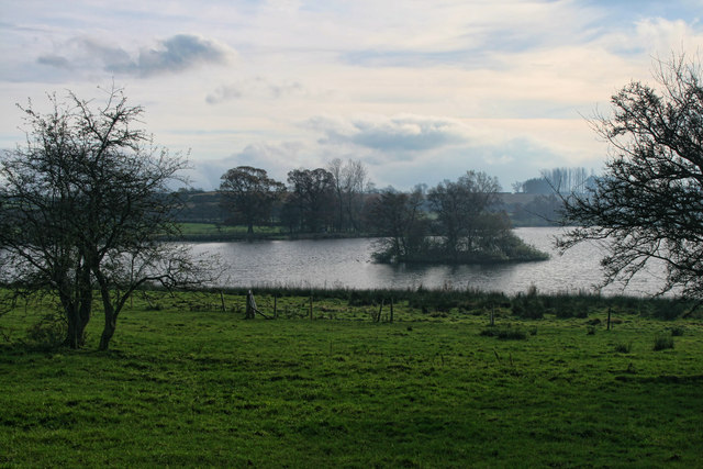
Blencarn Lake, located in the county of Cumberland in northwest England, is a stunning freshwater body that encompasses the characteristics of a lake, pool, pond, and freshwater marsh. It is nestled in a picturesque landscape, surrounded by rolling hills and lush greenery, making it a popular attraction for both locals and tourists alike.

The lake spans an area of approximately 10 acres and is fed by various streams and natural springs, ensuring a constant flow of fresh water. Its depth varies, ranging from shallow areas where the water is no more than a few feet deep to deeper sections that reach up to 20 feet. This diversity in depth creates a diverse habitat for aquatic flora and fauna.

Blencarn Lake boasts an abundance of aquatic plants, including water lilies, reeds, and rushes, which flourish in the nutrient-rich waters. These plants provide a habitat for a variety of wildlife, such as dragonflies, water beetles, and various species of birds.

The lake is also home to a myriad of fish species, including perch, roach, bream, and pike, making it a popular spot for anglers. Fishing permits are available for those who wish to cast their lines and try their luck in catching some of the lake's prized inhabitants.

Surrounded by a network of footpaths, Blencarn Lake offers a tranquil escape for nature enthusiasts and walkers. Visitors can enjoy leisurely walks around the lake, taking in the breathtaking scenery and observing the diverse wildlife that calls this haven their home.

Blencarn Lake truly encapsulates the beauty of Cumberland's natural landscape, providing a serene and idyllic setting for both recreational activities and wildlife observation.

If you have any feedback on the listing, please let us know in the comments section below.

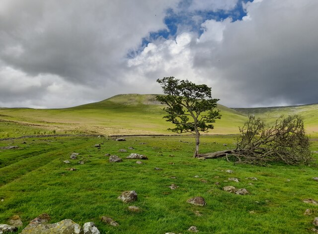
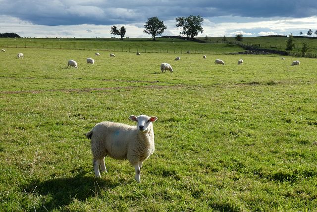
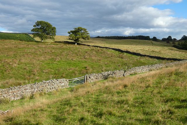
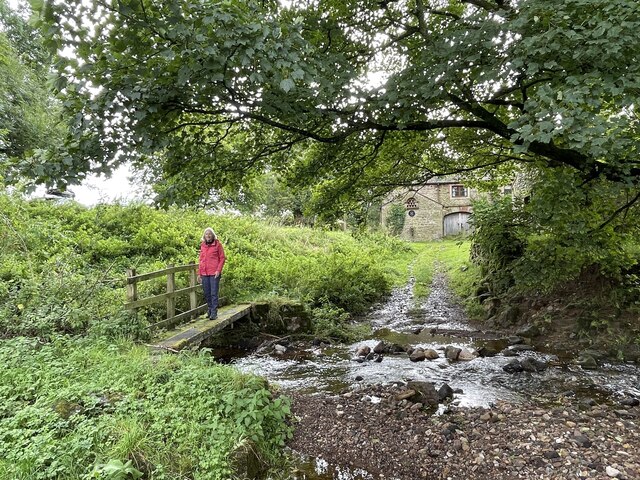
Blencarn Lake Images

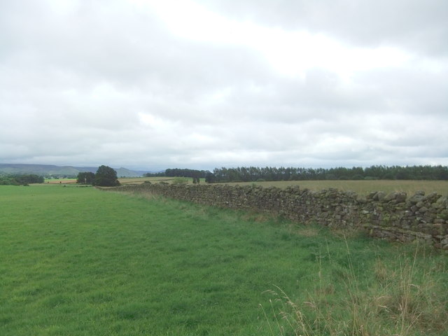
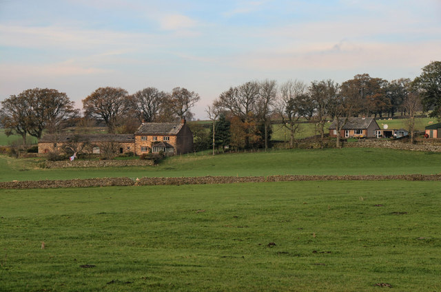
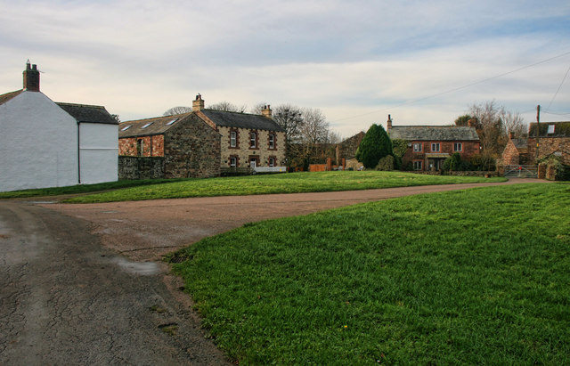
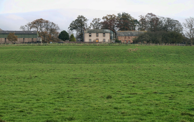
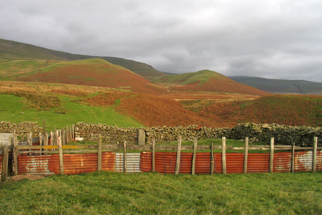
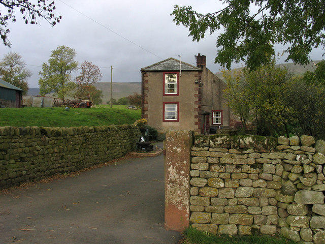
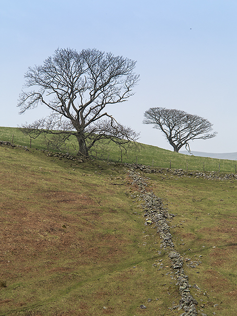
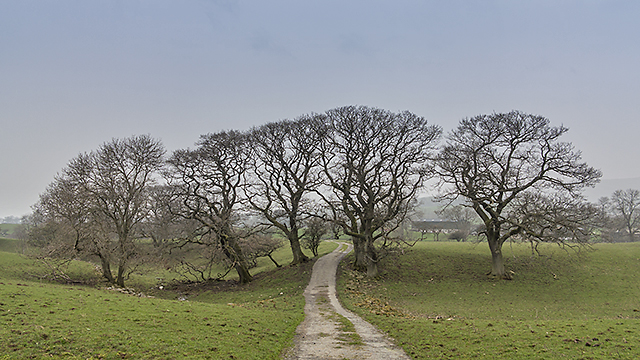
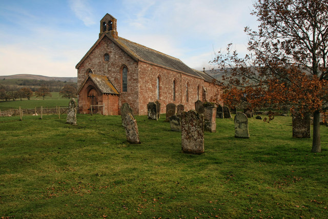
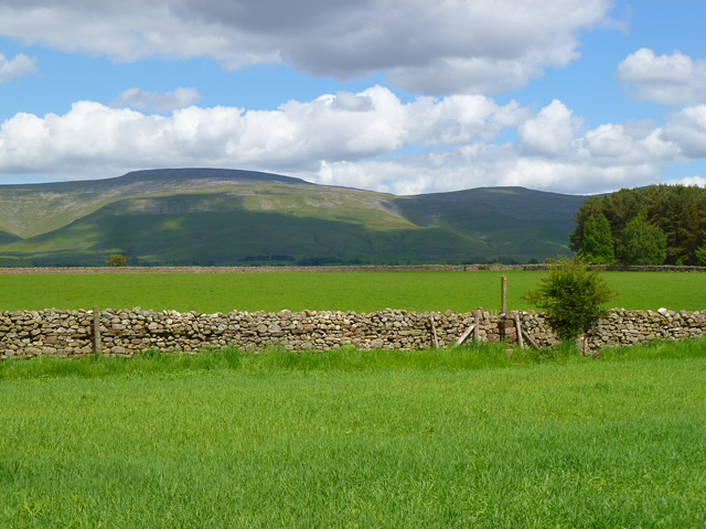
Images are sourced within 2km of 54.677892/-2.5586859 or Grid Reference NY6431. Thanks to Geograph Open Source API. All images are credited.

Grazing land near Kirkland Grazing land near Kirkland, the track leads to Cross Fell.
Grazing land near Kirkland
Grazing land near Kirkland, the track leads to Cross Fell.
Pasture, Culgaith Sheep beside the bridleway between Blencarn and Wythwaite.
Pasture, Culgaith
Sheep beside the bridleway between Blencarn and Wythwaite.
Pasture, Milburn Viewed from just outside of the access land crossed by the footpath south of Wythwaite.
Pasture, Milburn
Viewed from just outside of the access land crossed by the footpath south of Wythwaite.
Kirkland Hall Ford This ford is found beside Beck Cottage at Kirkland.
Kirkland Hall Ford
This ford is found beside Beck Cottage at Kirkland.
Fields near Howrigg Farm
The Flosh House at Kirkland.
The Flosh
House at Kirkland.
Bank Wood Barn beneath Bank Wood near Kirkland.
Bank Wood
Barn beneath Bank Wood near Kirkland.
Blencarn Lake Blencarn fishing lake.
Blencarn Lake
Blencarn fishing lake.
Blencarn Houses in Blencarn village.
Blencarn
Houses in Blencarn village.
Lounthwaite Lounthwaite Farm.
Lounthwaite
Lounthwaite Farm.
Sheep pens at foot of Littledale Littledale is the valley descending through the centre of the image where Grumply Hill lies to the right. The main slope above is the south-western flank of Cross Fell.
Sheep pens at foot of Littledale
Littledale is the valley descending through the centre of the image where Grumply Hill lies to the right. The main slope above is the south-western flank of Cross Fell.
Baron's Hill Baron's Hill lies close to the small settlement of Kirkland at the western foot of Cross Fell.
Baron's Hill
Baron's Hill lies close to the small settlement of Kirkland at the western foot of Cross Fell.
Skirwith High Moor Farmland at Skirwith High Moor, viewed on a day when low cloud and smog cover much of the UK, limiting visibility into the surrounding hills.
Skirwith High Moor
Farmland at Skirwith High Moor, viewed on a day when low cloud and smog cover much of the UK, limiting visibility into the surrounding hills.
Farmland near Kirkland A drystone wall on rough pasture near Kirkland.
Farmland near Kirkland
A drystone wall on rough pasture near Kirkland.
Path near Wythwaite A path leading from Wythwaite to Kirkland, viewed here south of the farm at Ranbeck.
Path near Wythwaite
A path leading from Wythwaite to Kirkland, viewed here south of the farm at Ranbeck.
St Lawrence's St Lawrence's church in Kirkland
St Lawrence's
St Lawrence's church in Kirkland
Farmland, Culgaith Cross Fell and Little Dun Fell are in the background.
Farmland, Culgaith
Cross Fell and Little Dun Fell are in the background.
Pasture, Skirwith, Culgaith Looking towards the Pennines from the footpath east of the village.
Pasture, Skirwith, Culgaith
Looking towards the Pennines from the footpath east of the village.
Show me another place!

Blencarn Lake is located at Grid Ref: NY6431 (Lat: 54.677892, Lng: -2.5586859)

Administrative County: Cumbria

District: Eden

Police Authority: Cumbria

What 3 Words

///gobbles.prevents.contemplate. Near Appleby-in-Westmorland, Cumbria

Related Wikis

Nearby Amenities

Located within 500m of 54.677892,-2.5586859
Blencarn
Place: village
Source: NPE
Wikidata: Q3233542
Wikipedia: en:Blencarn
Lat/Long: 54.6748188/-2.5643439
Village Green
Naptan AtcoCode: 090074201059
Naptan Bearing: E
Naptan BusStopType: CUS
Naptan CommonName: Village Green
Naptan Indicator: opp
Naptan Landmark: Marys Croft
Naptan NaptanCode: cumdagmg
Naptan Street: No name
Naptan Verified: no
Source: naptan_import
Lat/Long: 54.674912/-2.5622753
Post Box
Ref: CA10 192
Source: survey
Lat/Long: 54.6750135/-2.5623429
Telephone
Source: survey
Lat/Long: 54.6754675/-2.5641288
Grit Bin
Lat/Long: 54.675525/-2.5639421
Bench
Lat/Long: 54.6755274/-2.5637111
Recycling
Lat/Long: 54.6749235/-2.5622088
Generator Method: photovoltaic
Generator Output Electricity: yes
Generator Source: solar
Generator Type: solar_photovoltaic_panel
Location: roof
Power: generator
Lat/Long: 54.6750718/-2.5638484
Generator Method: photovoltaic
Generator Output Electricity: yes
Generator Source: solar
Generator Type: solar_photovoltaic_panel
Location: roof
Power: generator
Lat/Long: 54.6744459/-2.5617643
Generator Method: photovoltaic
Generator Output Electricity: yes
Generator Source: solar
Generator Type: solar_photovoltaic_panel
Location: roof
Power: generator
Lat/Long: 54.6746142/-2.5605814
Power: pole
Lat/Long: 54.6780246/-2.5660198
Power: pole
Lat/Long: 54.6776918/-2.5650981
Power: pole
Lat/Long: 54.6773357/-2.5641297
Power: pole
Lat/Long: 54.6779423/-2.5626813
Power: pole
Lat/Long: 54.6786999/-2.5616428
Power: pole
Lat/Long: 54.6793666/-2.5607594
Power: pole
Lat/Long: 54.6799031/-2.5596062
Power: pole
Lat/Long: 54.6805048/-2.5583298
Power: pole
Lat/Long: 54.6811678/-2.5573466
Power: pole
Lat/Long: 54.6818258/-2.5564015
The data included in this document is from www.openstreetmap.org. The data is made available under ODbL.

Have you been to Blencarn Lake?

Leave your review of Blencarn Lake below (or comments, questions and feedback).