Long Pool
Lake, Pool, Pond, Freshwater Marsh in Angus
Scotland
Long Pool
Long Pool, Angus is a picturesque freshwater marsh located in the county of Angus, Scotland. Spread over an area of approximately 10 acres, it is often referred to as a lake, pool, pond, or marsh due to its unique characteristics.
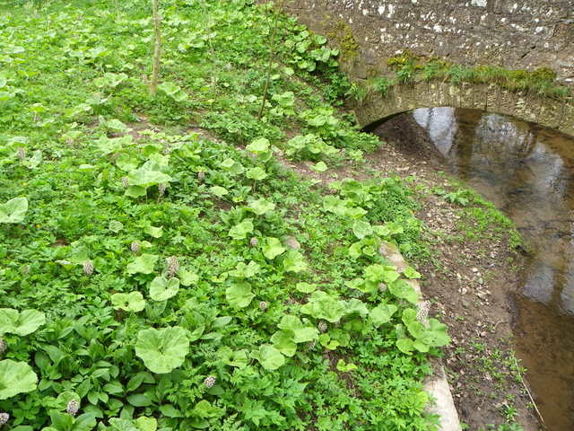
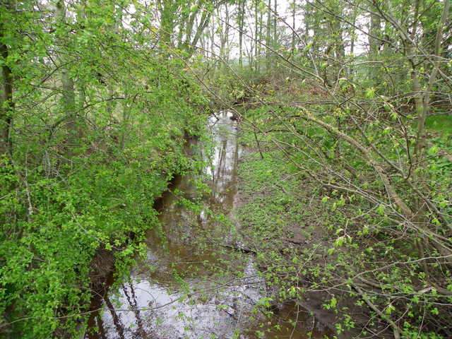
Long Pool is surrounded by lush greenery and is known for its stunning natural beauty. The water in the pool is crystal clear and reflects the surrounding landscape, creating a mirror-like effect that adds to its charm. The pool is fed by several small streams that flow from the nearby hills, ensuring a constant supply of fresh water.
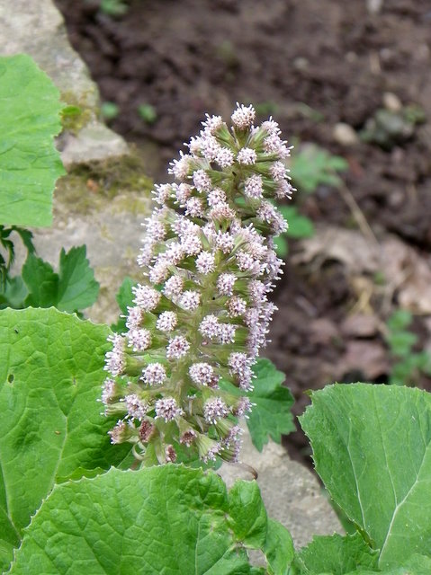
The pool is home to a diverse range of plant and animal species. The marshy areas around the pool provide a haven for various aquatic plants, including water lilies, reeds, and rushes. These plants create a vibrant ecosystem that supports a wide array of wildlife. Visitors to Long Pool can spot a range of bird species such as ducks, swans, and herons, which find sanctuary in the calm waters.
The tranquil atmosphere of Long Pool makes it a popular spot for nature enthusiasts and photographers alike. Many visitors enjoy leisurely walks around the pool, taking in the serene surroundings and capturing beautiful shots of the landscape. The pool also offers opportunities for fishing, with anglers often trying their luck in the hopes of catching trout or perch.
Long Pool, Angus is a hidden gem that showcases the natural wonders of the Scottish countryside. Its unique blend of water, plant life, and wildlife make it a must-visit destination for anyone seeking a peaceful and immersive experience in nature.
If you have any feedback on the listing, please let us know in the comments section below.
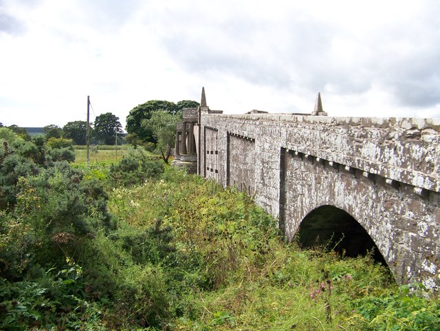
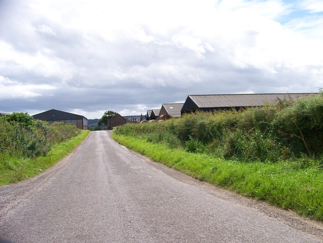
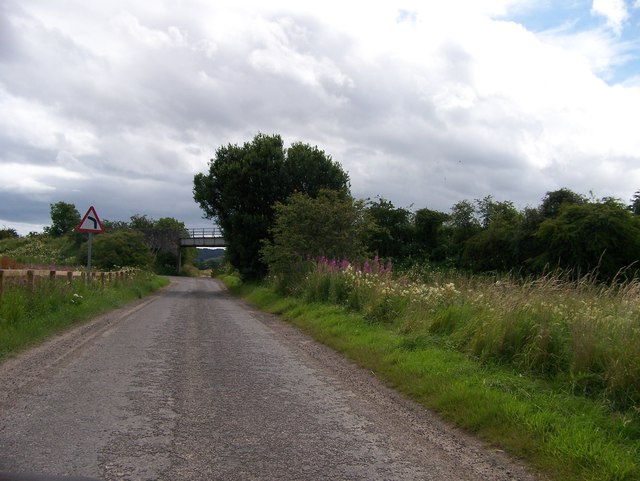
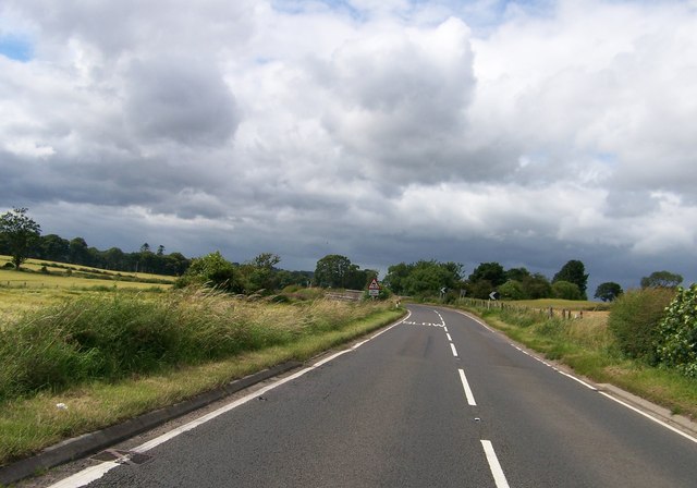
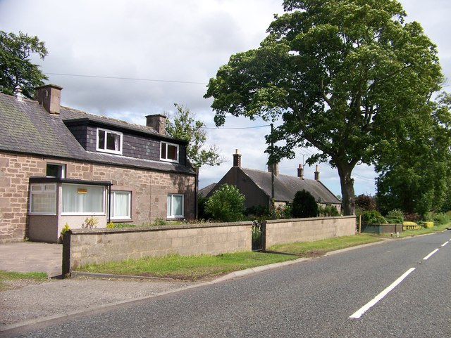
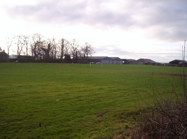
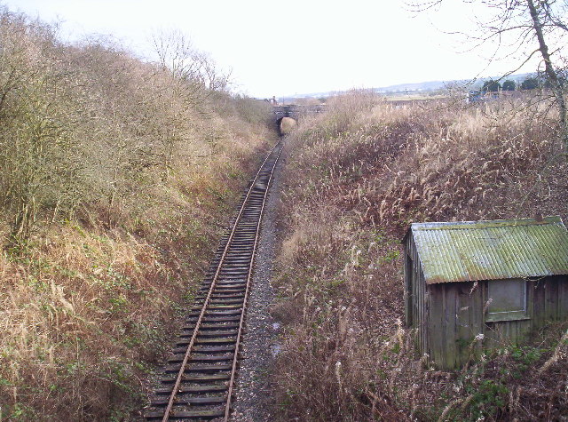
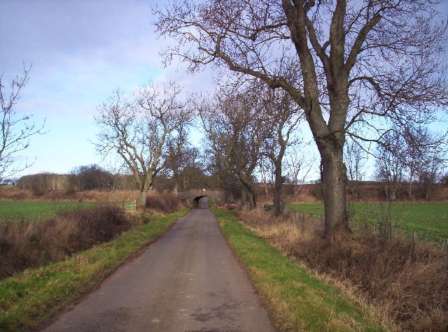
Long Pool Images
Images are sourced within 2km of 56.713284/-2.5800439 or Grid Reference NO6458. Thanks to Geograph Open Source API. All images are credited.


Long Pool is located at Grid Ref: NO6458 (Lat: 56.713284, Lng: -2.5800439)
Unitary Authority: Angus
Police Authority: Tayside
What 3 Words
///newlywed.removals.trace. Near Brechin, Angus
Nearby Locations
Related Wikis

Kinnaird Castle, Brechin
Kinnaird Castle is a 15th-century castle near Brechin in Angus, Scotland. The castle has been home to the Carnegie family, the Earls of Southesk, for more...

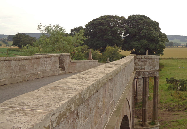
Bridge of Dun
Bridge of Dun is a village in Angus, Scotland, located north of the River South Esk and south of the A935 road from Brechin to Montrose. == History... ==

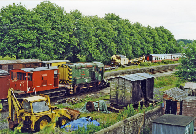
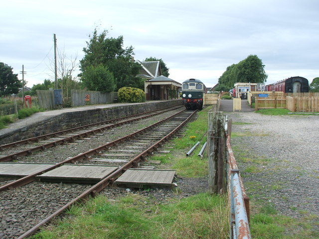
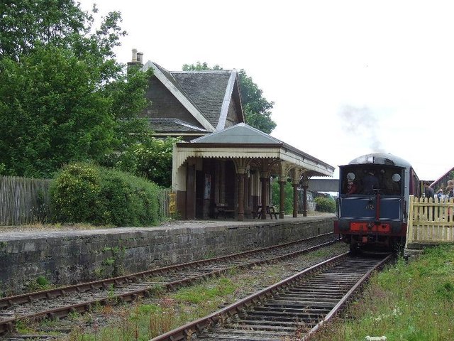
Bridge of Dun railway station
Bridge of Dun is a privately owned station in Angus. The adjacent platforms and line are independently operated as a preserved railway by the Caledonian...

Dun, Angus
Dun is a rural parish in Angus, Scotland. It contains the House of Dun, home of the Erskine family and is a stop on the Caledonian Railway. It is located...
Nearby Amenities
Located within 500m of 56.713284,-2.5800439Have you been to Long Pool?
Leave your review of Long Pool below (or comments, questions and feedback).