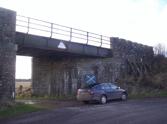
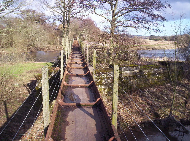
Arrat's Mill Pool
Lake, Pool, Pond, Freshwater Marsh in Angus
Scotland
Arrat's Mill Pool
Arrat's Mill Pool, located in Angus, Scotland, is a picturesque freshwater pond surrounded by stunning natural beauty. With its calm and tranquil ambiance, it serves as a popular destination for both locals and tourists seeking relaxation and recreational activities.
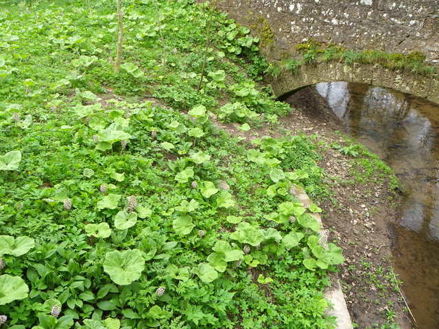
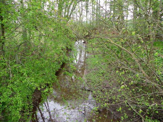
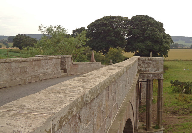
Covering an area of approximately 2 acres, Arrat's Mill Pool is nestled amidst rolling hills and lush greenery, creating a serene and idyllic atmosphere. The pool is fed by a small stream that cascades down from the nearby hills, ensuring a constant supply of fresh water.
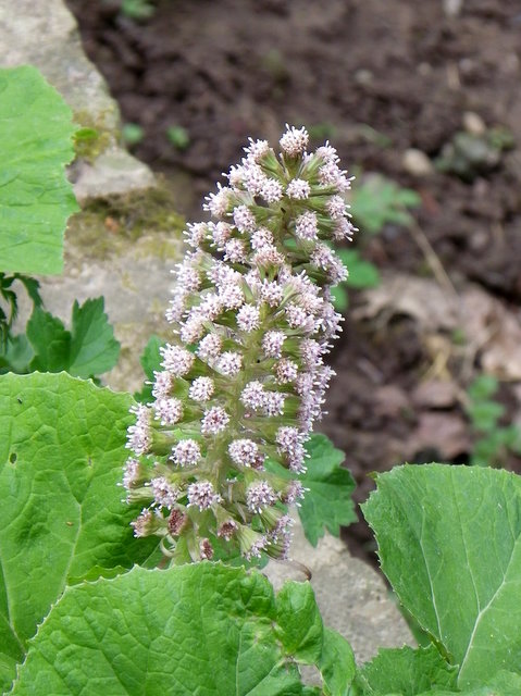
The pool itself is home to a diverse ecosystem, with an abundance of aquatic plants and a variety of fish species. Anglers frequent the pool, drawn by the opportunity to catch brown trout, salmon, and pike. The calm waters also make it an ideal spot for boating and canoeing enthusiasts.
Surrounding the pool, visitors will find well-maintained walking trails, allowing them to explore the surrounding natural beauty at their leisure. The area is teeming with wildlife, providing ample opportunities for birdwatching and nature photography.
For those seeking a peaceful retreat, Arrat's Mill Pool offers several picnic spots with benches and tables, allowing visitors to enjoy a leisurely lunch while taking in the scenic views. There are also facilities for barbecuing, making it a popular spot for family gatherings and outdoor events.
Overall, Arrat's Mill Pool is a hidden gem in Angus, offering a serene and picturesque environment for nature lovers, anglers, and those seeking a peaceful escape from the bustle of daily life.
If you have any feedback on the listing, please let us know in the comments section below.
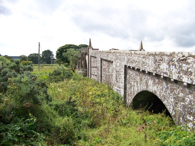
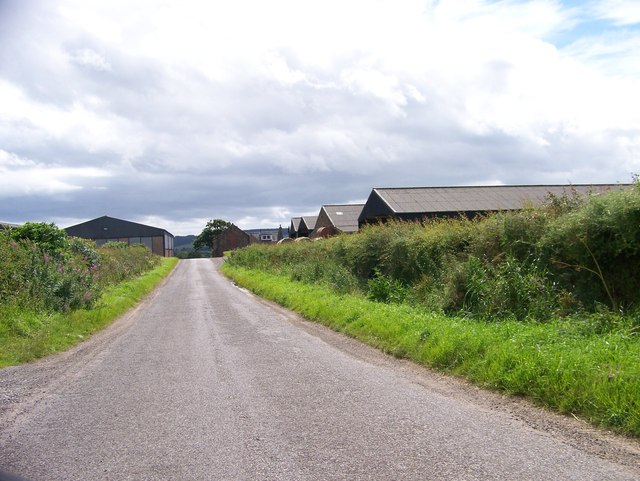
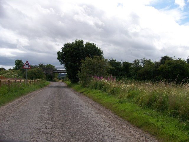
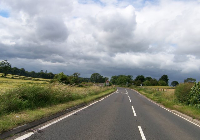
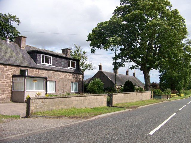
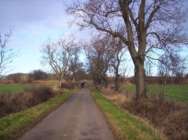
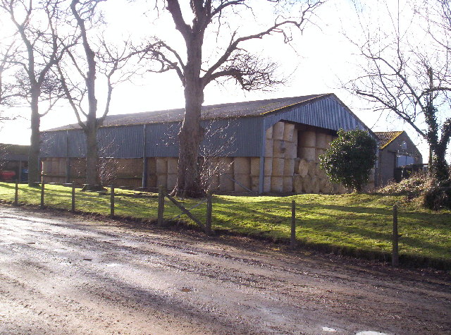
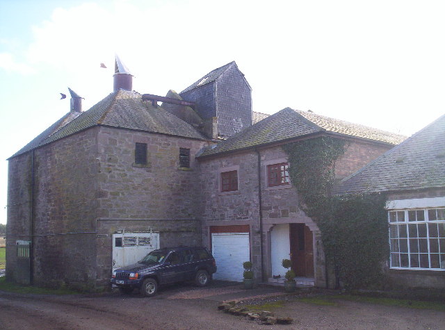
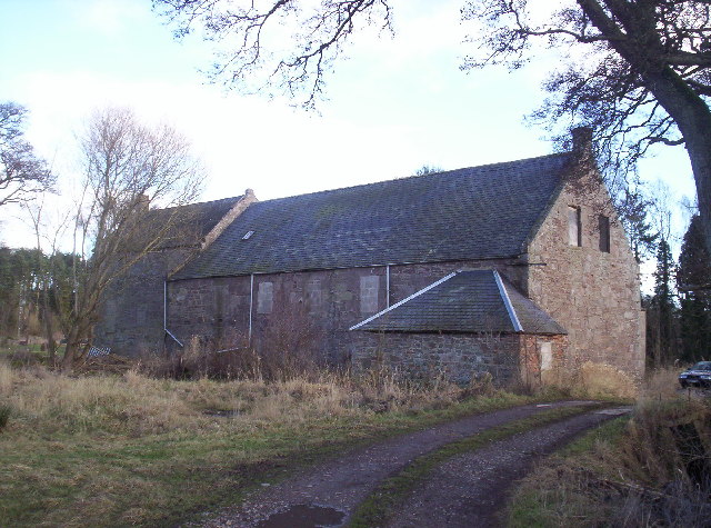
Arrat's Mill Pool Images
Images are sourced within 2km of 56.715436/-2.5828869 or Grid Reference NO6458. Thanks to Geograph Open Source API. All images are credited.
Arrat's Mill Pool is located at Grid Ref: NO6458 (Lat: 56.715436, Lng: -2.5828869)
Unitary Authority: Angus
Police Authority: Tayside
What 3 Words
///enough.pity.doped. Near Brechin, Angus
Nearby Locations
Related Wikis

Kinnaird Castle, Brechin
Kinnaird Castle is a 15th-century castle near Brechin in Angus, Scotland. The castle has been home to the Carnegie family, the Earls of Southesk, for more...

Bridge of Dun
Bridge of Dun is a village in Angus, Scotland, located north of the River South Esk and south of the A935 road from Brechin to Montrose. == History... ==

Bridge of Dun railway station
Bridge of Dun is a privately owned station in Angus. The adjacent platforms and line are independently operated as a preserved railway by the Caledonian...

Dun, Angus
Dun is a rural parish in Angus, Scotland. It contains the House of Dun, home of the Erskine family and is a stop on the Caledonian Railway. It is located...
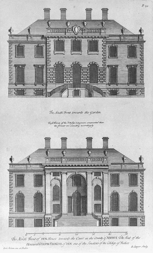
House of Dun
The House of Dun is a National Trust for Scotland property in the parish of Dun, lying close to the edge of Montrose Basin and situated approximately halfway...
Old Montrose
Old Montrose is an estate in Montrose, Angus, Scotland. The lands and house of Old Montrose were given to David de Graham of Kincardine, in exchange for...

Farnell, Angus
Farnell is a village in Angus, Scotland. It lies 2 miles south of the River South Esk, between Brechin and Montrose, near Kinnaird Castle. == References ==
Farnell Road railway station
Farnell Road railway station served the village of Farnell, Angus, Scotland from 1848 to 1956 on the Aberdeen Railway. == History == The station opened...
Nearby Amenities
Located within 500m of 56.715436,-2.5828869Have you been to Arrat's Mill Pool?
Leave your review of Arrat's Mill Pool below (or comments, questions and feedback).