Phemie Pool

Lake, Pool, Pond, Freshwater Marsh in Aberdeenshire

Scotland

Phemie Pool

Minor road near Tilliefoure
Minor road near Tilliefoure Credit: Steven Brown

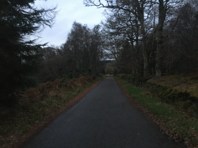
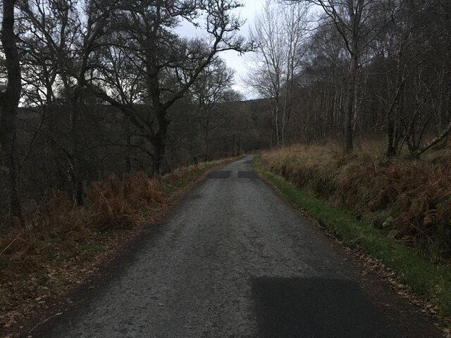
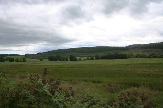
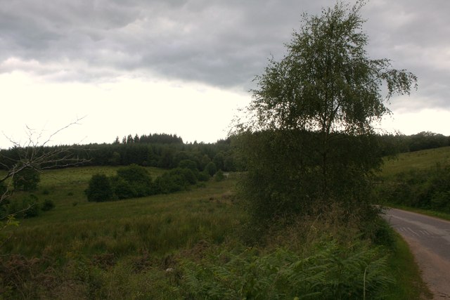
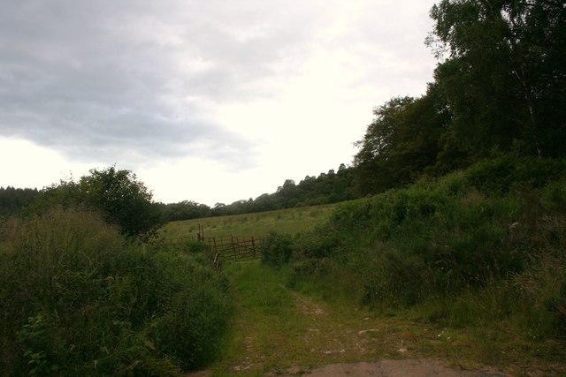
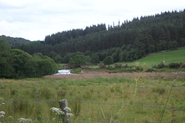
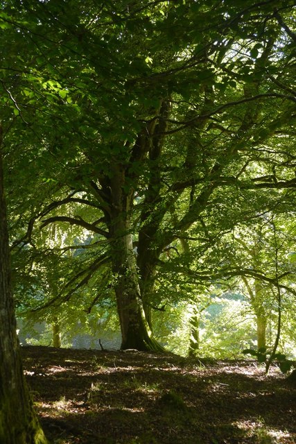
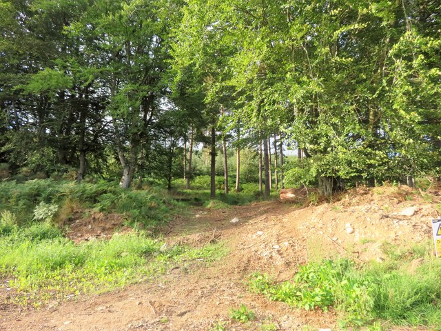
Phemie Pool is a small freshwater marsh located in Aberdeenshire, Scotland. It is situated in a picturesque setting, surrounded by lush greenery and rolling hills. The pool is known for its tranquil ambiance and is a popular destination for nature enthusiasts and bird watchers.

Covering an area of approximately 2 hectares, Phemie Pool is characterized by its calm and clear waters. It is fed by both surface water and underground springs, ensuring a constant flow of fresh water. The pool is relatively shallow, with an average depth of around 1 meter, making it ideal for wading birds and waterfowl.

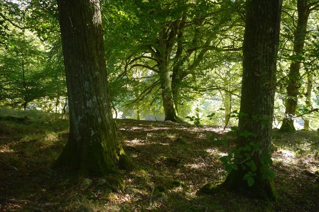
The pool is home to a diverse range of flora and fauna. Its marshy surroundings are adorned with water lilies, reeds, and other aquatic plants. These provide crucial habitats for numerous species of insects, amphibians, and small mammals.

Phemie Pool is particularly renowned for its avian inhabitants. The pool attracts a variety of waterfowl, including ducks, swans, and geese. Moorhens, coots, and herons can also be spotted along its shores. During the summer months, the pool becomes a breeding ground for numerous bird species, adding to its ecological significance.

The pool is a designated nature reserve, managed by local conservation organizations. It offers a peaceful retreat for visitors, with walking trails and observation points providing excellent vantage points to admire the diverse wildlife. Whether it's birdwatching, photography, or simply enjoying the tranquility of nature, Phemie Pool is a haven for those seeking a connection with the natural world.

If you have any feedback on the listing, please let us know in the comments section below.

Phemie Pool Images

Images are sourced within 2km of 57.269115/-2.5917258 or Grid Reference NJ6419. Thanks to Geograph Open Source API. All images are credited.

Minor road near Tilliefoure
Meadow by the Throat Meadowland by the Don from My Lord's Throat.
Meadow by the Throat
Meadowland by the Don from My Lord's Throat.
Road to Keig The road leading ,through My Lord's Throat , to Keig.
Road to Keig
The road leading ,through My Lord's Throat , to Keig.
Through the Gates A field amongst woodland.
Through the Gates
A field amongst woodland.
Hairpin Forest Bends Bennachie is a range of hills in Aberdeenshire, Scotland.It has several tops, the highest of which, Oxen Craig, has a height of 528 metres (1,732 ft). Though not particularly high, compared to other peaks within Scotland, the mountain is very prominent, owing to its isolation and the relative flatness of the surrounding terrain, and dominates the skyline from several viewpoints.
Hairpin Forest Bends
Bennachie is a range of hills in Aberdeenshire, Scotland.It has several tops, the highest of which, Oxen Craig, has a height of 528 metres (1,732 ft). Though not particularly high, compared to other peaks within Scotland, the mountain is very prominent, owing to its isolation and the relative flatness of the surrounding terrain, and dominates the skyline from several viewpoints.
Even more hairpin bends Bennachie is a range of hills in Aberdeenshire, Scotland.It has several tops, the highest of which, Oxen Craig, has a height of 528 metres (1,732 ft). Though not particularly high, compared to other peaks within Scotland, the mountain is very prominent, owing to its isolation and the relative flatness of the surrounding terrain, and dominates the skyline from several viewpoints.
Even more hairpin bends
Bennachie is a range of hills in Aberdeenshire, Scotland.It has several tops, the highest of which, Oxen Craig, has a height of 528 metres (1,732 ft). Though not particularly high, compared to other peaks within Scotland, the mountain is very prominent, owing to its isolation and the relative flatness of the surrounding terrain, and dominates the skyline from several viewpoints.
Trees on the Summit
Trees on the Summit
Minor road near Tilliefoure
Bridge over Don A bridge over the Don by the Braes O' Bennachie.
Bridge over Don
A bridge over the Don by the Braes O' Bennachie.
Rorandle Northward view of Cairn William
Rorandle
Northward view of Cairn William
Slack Wood A bend in the road into Rorandle with a big felled area in the woods.  View from Cairn William.
Slack Wood
A bend in the road into Rorandle with a big felled area in the woods. View from Cairn William.
Riverside woodland, Tilliefoure Between the Don and the road.
Riverside woodland, Tilliefoure
Between the Don and the road.
Beech beside the Don Riverside woodland, Tilliefoure
Beech beside the Don
Riverside woodland, Tilliefoure
Adam's Rock A large erratic at Black Knap near My Lord's Throat.  I've included myself in the picture to give an idea of scale.
Adam's Rock
A large erratic at Black Knap near My Lord's Throat. I've included myself in the picture to give an idea of scale.
Road Blocked A woodland roadway blocked off by a trunk.
Road Blocked
A woodland roadway blocked off by a trunk.
Throat Road The road ahead to My Lord's Throat.
Throat Road
The road ahead to My Lord's Throat.
Woodland Track A small forestry track by My Lord's Throat.
Woodland Track
A small forestry track by My Lord's Throat.
Show me another place!

Phemie Pool is located at Grid Ref: NJ6419 (Lat: 57.269115, Lng: -2.5917258)

Unitary Authority: Aberdeenshire

Police Authority: North East

What 3 Words

///remains.lamenting.influencing. Near Alford, Aberdeenshire

Nearby Locations

Rake Pot Phemie Pool

Related Wikis

Castle Forbes

Castle Forbes is a 19th-century country house in the Scottish baronial architecture style near Alford in Aberdeenshire, Scotland. The 6,000-acre (2,400...

Bennachie

Bennachie ( ben-ə-HEE; Scottish Gaelic: Beinn na Cìche) is a range of hills in Aberdeenshire, Scotland. It has several tops, the highest of which, Oxen...

Keig

Keig ( KEEG) is a village within the local government area of Aberdeenshire Council in the North East of Scotland and is located within the Marr area of...

Gordon Way

The Gordon Way is a waymarked hiking trail in Aberdeenshire, Scotland. It runs for 11+1⁄2 miles (18.5 km) through the Bennachie Forest. The route was one...

Lickleyhead Castle

Lickleyhead Castle is a well-restored L-plan castle, dating from around 1600, a little south of Auchleven, by the banks of the Gadie Burn, in Aberdeenshire...

Auchleven

Auchleven (Scottish Gaelic: Achadh Leamhan) is a village in Aberdeenshire, Scotland. Located approximately 4 miles (6 kilometres) south of Insch, 17 mi...

Whitehouse railway station (Scotland)

Whitehouse railway station was a station in Whitehouse, Aberdeenshire. It opened with the along with the rest of the Alford Valley Railway line from Kintore...

Blairdaff

Blairdaff is a parish in Garioch, Aberdeenshire, Scotland, next to the villages of Kemnay and Monymusk. Blairdaff had a grocery store, a post office, and...

Nearby Amenities

Located within 500m of 57.269115,-2.5917258
Power: pole
Lat/Long: 57.2714637/-2.5860408
Power: pole
Lat/Long: 57.2712874/-2.5870123
Power: pole
Lat/Long: 57.2711096/-2.5880636
Power: pole
Lat/Long: 57.2708566/-2.5894327
Power: pole
Lat/Long: 57.2707205/-2.5902129
Power: pole
Lat/Long: 57.2701707/-2.5913302
Power: pole
Lat/Long: 57.2702332/-2.5923526
Power: pole
Lat/Long: 57.2702957/-2.5932553
Power: pole
Lat/Long: 57.2657052/-2.5863359
Power: pole
Lat/Long: 57.265498/-2.5874279
The data included in this document is from www.openstreetmap.org. The data is made available under ODbL.

Have you been to Phemie Pool?

Leave your review of Phemie Pool below (or comments, questions and feedback).