Rake Pot
Lake, Pool, Pond, Freshwater Marsh in Aberdeenshire
Scotland
Rake Pot
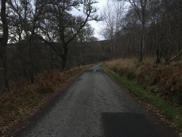
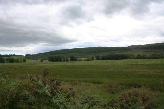
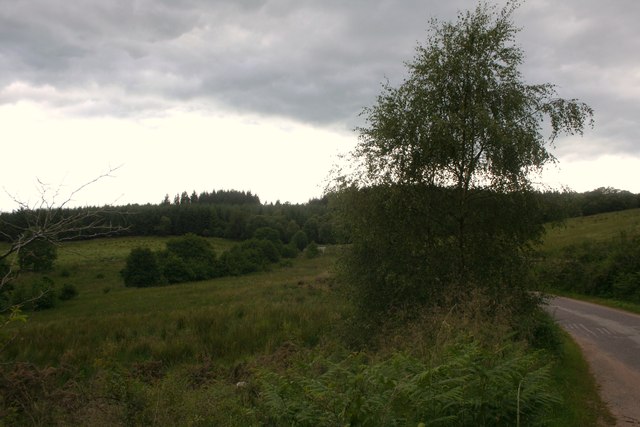
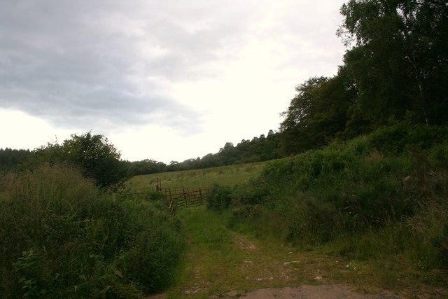
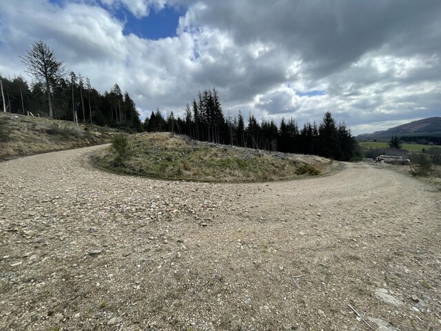
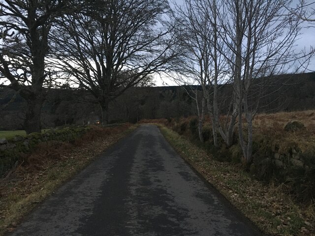
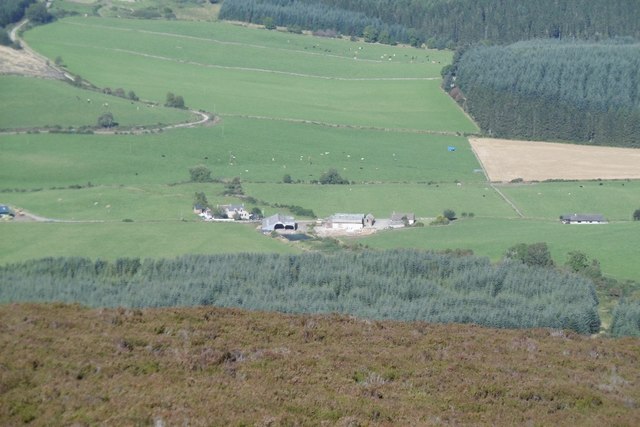
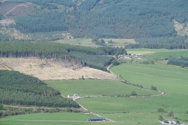
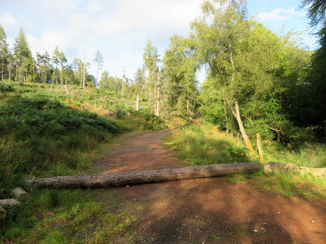
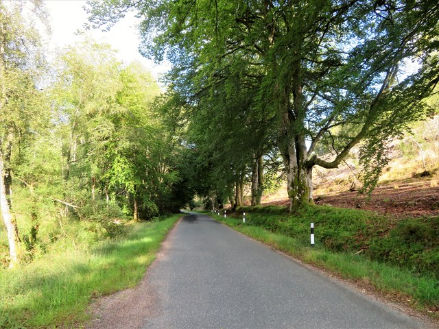
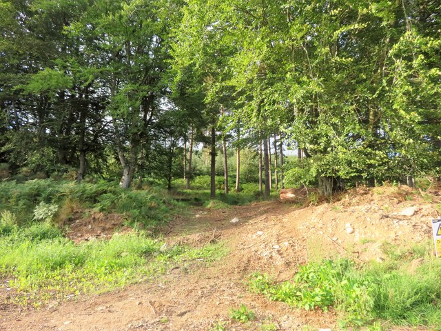
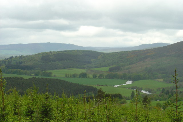
Rake Pot, located in Aberdeenshire, Scotland, is a picturesque freshwater marsh encompassing a lake, pool, pond, and surrounding wetland vegetation. This natural water feature is a result of glacial activity during the last Ice Age, creating a unique and diverse ecosystem.
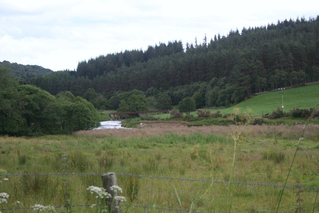
The main attraction of Rake Pot is its serene lake, which covers a considerable area and serves as a habitat for various aquatic species. The water in the lake is mainly sourced from rainwater runoff and springs, ensuring its freshness and clarity throughout the year. The lake is known for its calm and tranquil atmosphere, providing a peaceful retreat for visitors.
Adjacent to the lake, there is a smaller pool that is fed by underground springs. This pool is shallower and often attracts different types of waterfowl and wading birds. It serves as an important breeding ground for various species, contributing to the biodiversity of the area.
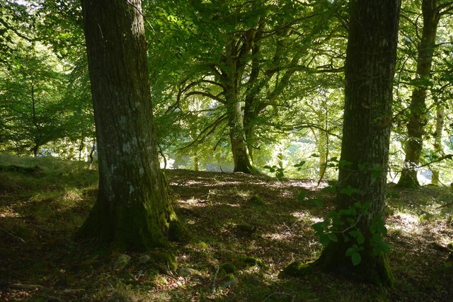
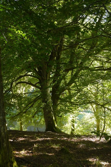
Surrounding the water bodies, the marshland is characterized by lush vegetation, including reeds, grasses, and various aquatic plants. This vegetation provides shelter, nesting sites, and food sources for a wide range of animal and bird species. Visitors can often spot herons, ducks, geese, and other water-loving birds in the marsh.
Rake Pot is a popular destination for nature enthusiasts, birdwatchers, and photographers who appreciate the beauty and tranquility of this natural wetland. Its accessibility and peaceful ambiance make it an ideal place for leisurely walks or simply enjoying the sights and sounds of nature.
Overall, Rake Pot in Aberdeenshire is a captivating freshwater ecosystem that offers a harmonious blend of water bodies, marshland, and diverse wildlife, making it a haven for nature lovers.
If you have any feedback on the listing, please let us know in the comments section below.
Rake Pot Images
Images are sourced within 2km of 57.264842/-2.5949234 or Grid Reference NJ6419. Thanks to Geograph Open Source API. All images are credited.


Rake Pot is located at Grid Ref: NJ6419 (Lat: 57.264842, Lng: -2.5949234)
Unitary Authority: Aberdeenshire
Police Authority: North East
What 3 Words
///required.huts.ballparks. Near Alford, Aberdeenshire
Nearby Locations
Related Wikis

Castle Forbes
Castle Forbes is a 19th-century country house in the Scottish baronial architecture style near Alford in Aberdeenshire, Scotland. The 6,000-acre (2,400...

Keig
Keig ( KEEG) is a village within the local government area of Aberdeenshire Council in the North East of Scotland and is located within the Marr area of...

Bennachie
Bennachie ( ben-ə-HEE; Scottish Gaelic: Beinn na Cìche) is a range of hills in Aberdeenshire, Scotland. It has several tops, the highest of which, Oxen...

Gordon Way
The Gordon Way is a waymarked hiking trail in Aberdeenshire, Scotland. It runs for 11+1⁄2 miles (18.5 km) through the Bennachie Forest. The route was one...
Lickleyhead Castle
Lickleyhead Castle is a well-restored L-plan castle, dating from around 1600, a little south of Auchleven, by the banks of the Gadie Burn, in Aberdeenshire...

Auchleven
Auchleven (Scottish Gaelic: Achadh Leamhan) is a village in Aberdeenshire, Scotland. Located approximately 4 miles (6 kilometres) south of Insch, 17 mi...

Whitehouse railway station (Scotland)
Whitehouse railway station was a station in Whitehouse, Aberdeenshire. It opened with the along with the rest of the Alford Valley Railway line from Kintore...

Blairdaff
Blairdaff is a parish in Garioch, Aberdeenshire, Scotland, next to the villages of Kemnay and Monymusk. Blairdaff had a grocery store, a post office, and...
Nearby Amenities
Located within 500m of 57.264842,-2.5949234Have you been to Rake Pot?
Leave your review of Rake Pot below (or comments, questions and feedback).