Drumhendry Plantation

Wood, Forest in Kincardineshire

Scotland

Drumhendry Plantation

Minor road enclosed by Inverury Wood Looking north-westward.
Minor road enclosed by Inverury Wood Credit: Peter Wood

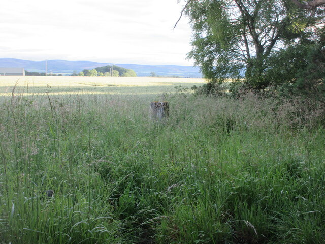
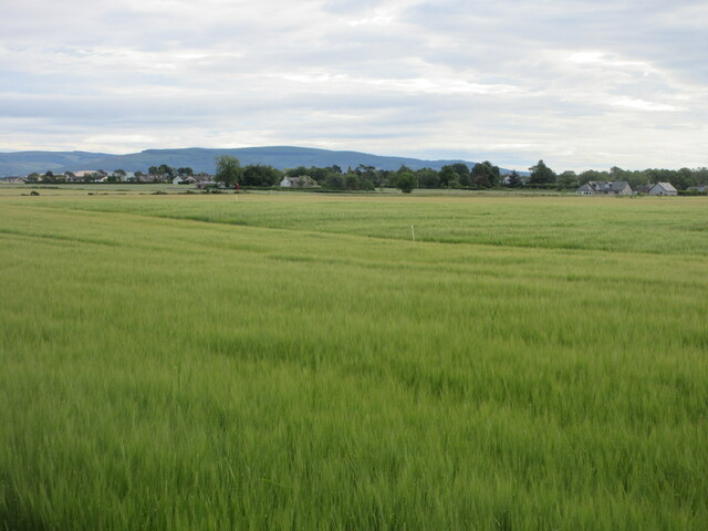
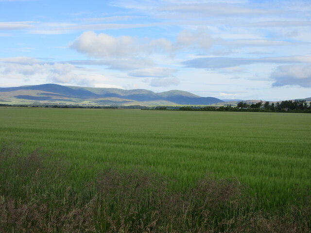
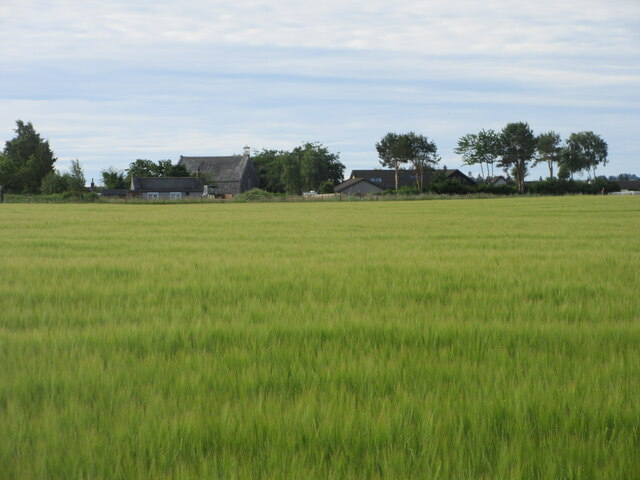
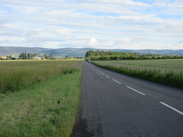
Drumhendry Plantation is an expansive woodland area located in Kincardineshire, Scotland. Covering a vast expanse of approximately 500 acres, it is known for its picturesque landscapes and rich biodiversity. The plantation is primarily composed of a mix of deciduous and coniferous trees, creating a diverse and vibrant forest ecosystem.

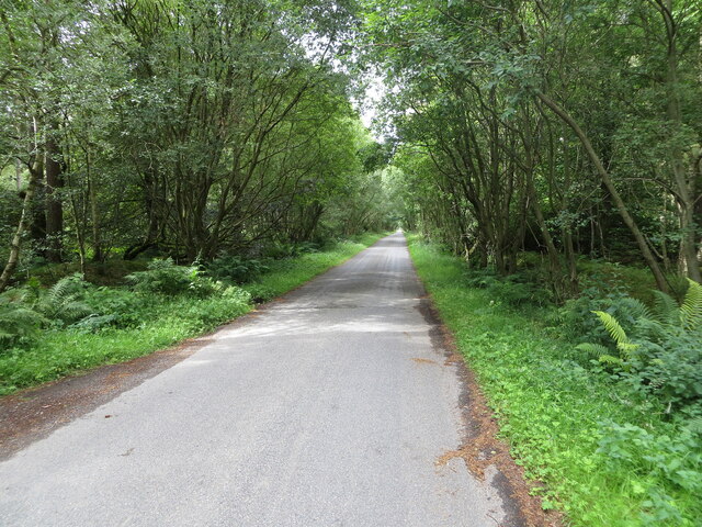
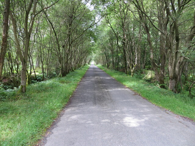
The woodland features a variety of tree species, including oak, birch, beech, and pine, which provide a habitat for numerous wildlife species. The dense canopy of the plantation offers a shaded and tranquil environment, with sunlight streaming through the leaves to create a stunning play of light and shadow.

Drumhendry Plantation is popular among nature enthusiasts, hikers, and photographers, as it offers a range of recreational activities. The well-maintained trails winding through the woodland provide the perfect opportunity for leisurely walks or more challenging hikes. These paths allow visitors to explore the plantation's natural beauty and discover its hidden gems, such as small streams and charming glens.

Birdwatchers also flock to Drumhendry Plantation, as it is home to a variety of avian species. The woodland provides an ideal habitat for birds like the great spotted woodpecker, crossbill, and various species of owls. Additionally, the plantation supports a diverse range of mammals, including red squirrels, deer, and foxes.

Drumhendry Plantation is a haven of tranquility and natural beauty, offering visitors a chance to immerse themselves in the wonders of Scotland's woodlands. Whether it's a leisurely stroll, a challenging hike, or simply enjoying the peaceful ambiance, this woodland is a must-visit destination for nature lovers and outdoor enthusiasts alike.

If you have any feedback on the listing, please let us know in the comments section below.

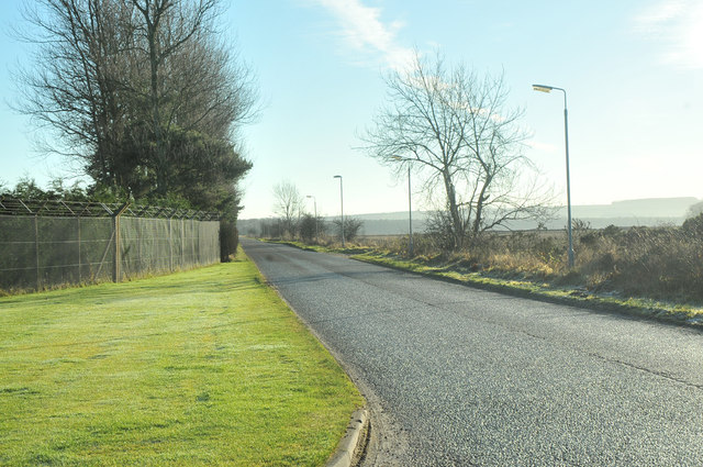
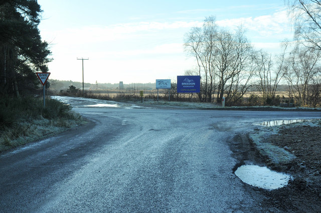
Drumhendry Plantation Images

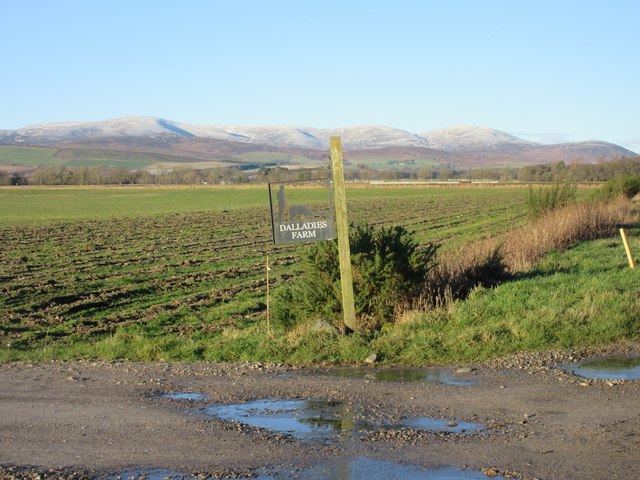
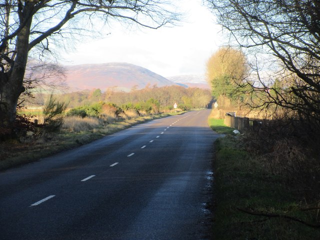
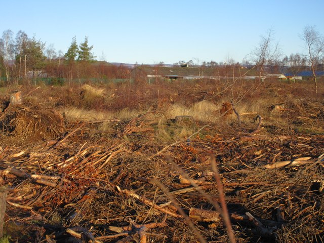
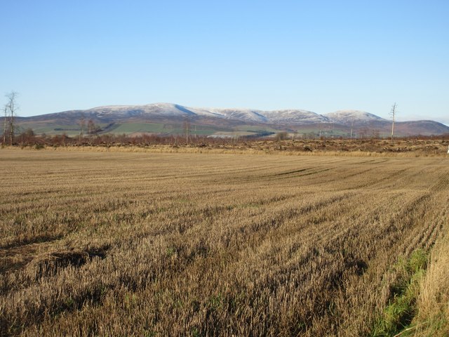
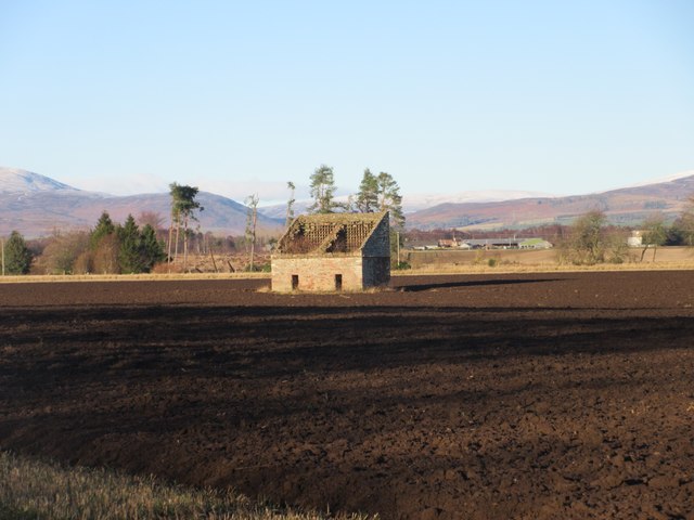
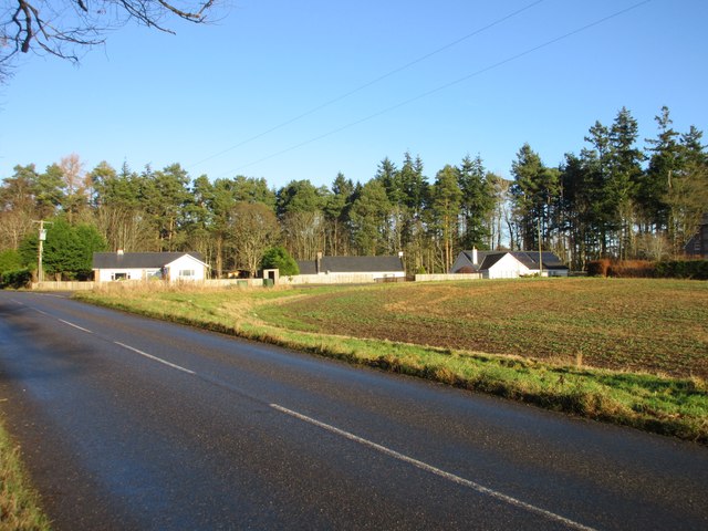
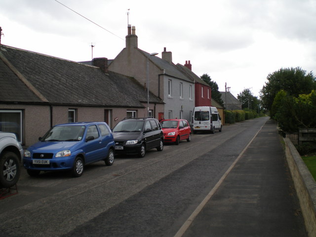
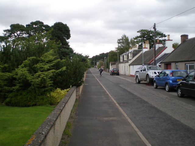
Images are sourced within 2km of 56.805741/-2.5865646 or Grid Reference NO6468. Thanks to Geograph Open Source API. All images are credited.

Minor road enclosed by Inverury Wood Looking north-westward.
Minor road enclosed by Inverury Wood
Looking north-westward.
Minor road passing through Inverury Wood Looking north-westward.
Minor road passing through Inverury Wood
Looking north-westward.
Drumhendry Trig Pillar The triangulation pillar at the eastern end of Drumhendry Plantation, lurking out of the undergrowth.
Drumhendry Trig Pillar
The triangulation pillar at the eastern end of Drumhendry Plantation, lurking out of the undergrowth.
Barley field near Inverury Wood Looking west over a field of barley from the edge of Inverury Wood, with Gawloch in the distance to the left.
Barley field near Inverury Wood
Looking west over a field of barley from the edge of Inverury Wood, with Gawloch in the distance to the left.
Barley field south of Luthermuir Looking north-eastwards over a field of barley, with Luthermuir in the distance.
Barley field south of Luthermuir
Looking north-eastwards over a field of barley, with Luthermuir in the distance.
Barley field north of Luthermuir Vast field of barley to the north of Luthermuir, with the Hill of Wirren in the distance to the north-west.
Barley field north of Luthermuir
Vast field of barley to the north of Luthermuir, with the Hill of Wirren in the distance to the north-west.
Barley field at Luthermuir Looking south towards Luthermuir over a field of barley.
Barley field at Luthermuir
Looking south towards Luthermuir over a field of barley.
C6K (Aberdeenshire) Road heading north The C6K road heading northwards at Primrosehill towards Fettercairn.
C6K (Aberdeenshire) Road heading north
The C6K road heading northwards at Primrosehill towards Fettercairn.
Sign for Dalladies Dalladies Farm sign at the track entrance on the Lang Stracht, with the Hill of Wirren in the distance.
Sign for Dalladies
Dalladies Farm sign at the track entrance on the Lang Stracht, with the Hill of Wirren in the distance.
Lang Stracht at Cleary Wood The C2K (Aberdeenshire) road on the Lang Stracht, leaving Cleary Wood northwards.
Lang Stracht at Cleary Wood
The C2K (Aberdeenshire) road on the Lang Stracht, leaving Cleary Wood northwards.
Felled forest at Capo Felled forest at Capo Woods next to the Lang Stracht.
Felled forest at Capo
Felled forest at Capo Woods next to the Lang Stracht.
Stubble field by the Lang Stracht Stubble field towards the southern end of the Lang Stracht, with the cleared Capo Plantation beyond.
Stubble field by the Lang Stracht
Stubble field towards the southern end of the Lang Stracht, with the cleared Capo Plantation beyond.
Inglismaldie Dovecot The ruined 18th century dovecot in the middle of a field on the Inglismaldie Estate.
Inglismaldie Dovecot
The ruined 18th century dovecot in the middle of a field on the Inglismaldie Estate.
Cottages at Rosehill Three white-harled cottages viewed from the C6K road at Rosehill.
Cottages at Rosehill
Three white-harled cottages viewed from the C6K road at Rosehill.
Church Road, Luthermuir (towards SW) The church can be seen in the far background, to the left of the road.
Church Road, Luthermuir (towards SW)
The church can be seen in the far background, to the left of the road.
Church Road, Luthermuir, towards NE
Road past Edzell Airfield
Road junction near Edzell
Show me another place!

Drumhendry Plantation is located at Grid Ref: NO6468 (Lat: 56.805741, Lng: -2.5865646)

Unitary Authority: Aberdeenshire

Police Authority: North East

What 3 Words

///proclaims.carbon.rainfall. Near Laurencekirk, Aberdeenshire

Related Wikis

RAF Edzell

Royal Air Force Edzell or more simply RAF Edzell is a former Royal Air Force satellite station located in Aberdeenshire, one mile east of Edzell in Angus...
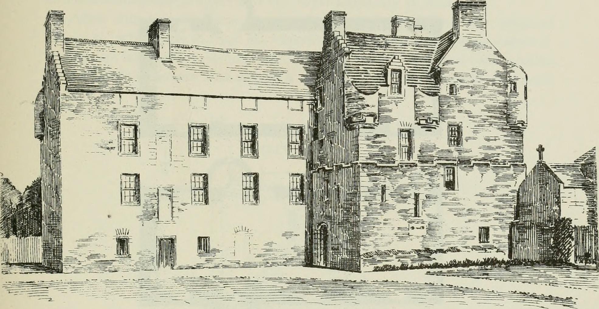
Inglismaldie Castle

Inglismaldie Castle is a castle in the parish of Marykirk and the county of Kincardineshire, Scotland. == History == The Tower House was built in 1636...

Luthermuir

Luthermuir is a village in Aberdeenshire, Scotland, UK. Historically the village was home to weavers and labourers. == Facilities == Luthermuir is home...

Edzell Woods

Edzell Woods is a village in the Kincardine and Mearns area of Aberdeenshire, Scotland. It is 4 miles (6.4 km) from Edzell by road, but only one mile...

Nearby Amenities

Located within 500m of 56.805741,-2.5865646
Power: pole
Lat/Long: 56.8022936/-2.591406
Power: pole
Lat/Long: 56.8030637/-2.5912241
Power: pole
Lat/Long: 56.8039082/-2.5910377
Power: pole
Lat/Long: 56.8044968/-2.5902458
Power: pole
Lat/Long: 56.8050085/-2.589546
Power: pole
Lat/Long: 56.8053336/-2.5890695
Power: pole
Lat/Long: 56.8100469/-2.5885124
Power: pole
Lat/Long: 56.8095176/-2.5891316
Power: pole
Lat/Long: 56.8093929/-2.5894976
Power: pole
Lat/Long: 56.8097256/-2.5900294
Power: pole
Lat/Long: 56.8092089/-2.5889774
Power: pole
Lat/Long: 56.80904/-2.588418
Power: pole
Lat/Long: 56.8088497/-2.587808
Power: pole
Lat/Long: 56.8084591/-2.587808
Power: pole
Lat/Long: 56.808105/-2.5882453
Power: pole
Lat/Long: 56.8077559/-2.588738
Power: pole
Lat/Long: 56.8073866/-2.5892191
Power: pole
Lat/Long: 56.8070338/-2.5896864
Power: pole
Lat/Long: 56.806662/-2.5901629
Power: pole
Lat/Long: 56.8066153/-2.5902297
The data included in this document is from www.openstreetmap.org. The data is made available under ODbL.

Have you been to Drumhendry Plantation?

Leave your review of Drumhendry Plantation below (or comments, questions and feedback).