Bowshot Wood

Wood, Forest in Roxburghshire

Scotland

Bowshot Wood

The ruined remains of Abbotrule Church The church had belonged to Jedburgh Abbey from the early 12th century until its abandonment in 1777. The gable walls and bellcote are all that remain together with some old headstones inside the building and in the former churchyard.
The ruined remains of Abbotrule Church Credit: Walter Baxter

Bowshot Wood is a captivating forest located in the picturesque region of Roxburghshire, Scotland. Covering an expansive area of approximately 100 hectares, this woodland is a popular destination for nature enthusiasts and outdoor adventurers alike.

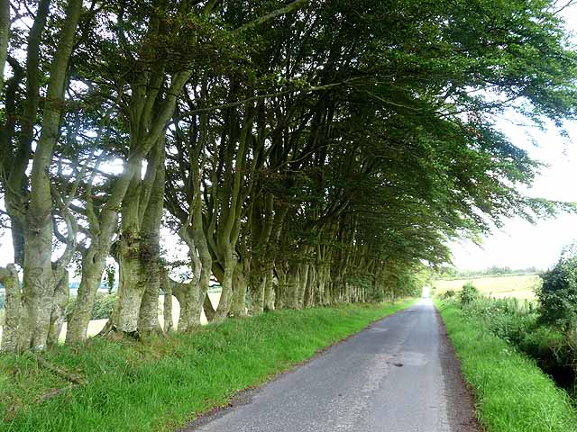
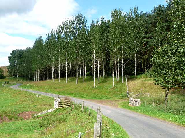
The wood boasts a diverse range of tree species, including oak, ash, birch, and Scots pine. These towering trees create a lush canopy, providing a serene and peaceful atmosphere for visitors. The forest floor is carpeted with a rich variety of flora, such as bluebells, ferns, and wild garlic, adding to the area's natural beauty.

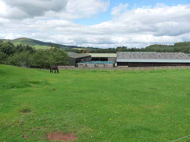
Bowshot Wood is home to an abundance of wildlife, making it a haven for animal lovers and birdwatchers. Red squirrels can be spotted darting between the trees, while deer can often be seen grazing in the open clearings. Birdlife is plentiful, with species such as woodpeckers, owls, and buzzards soaring through the skies.

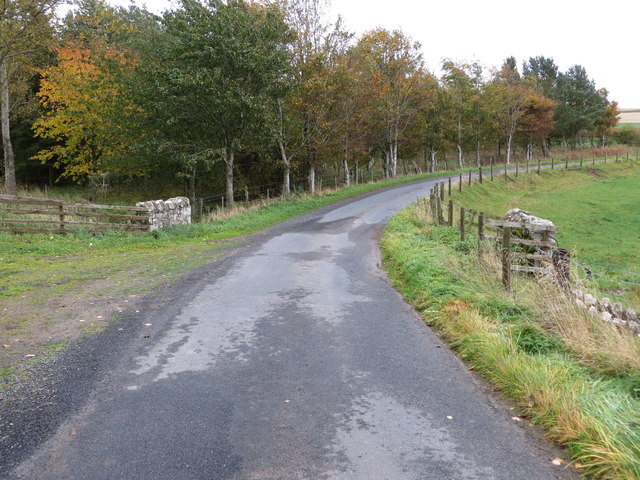
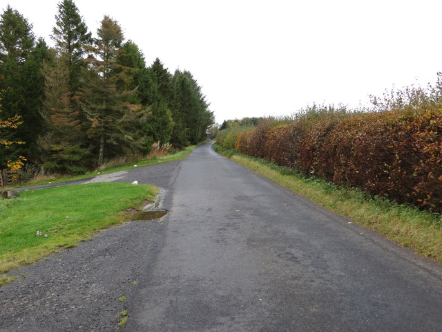
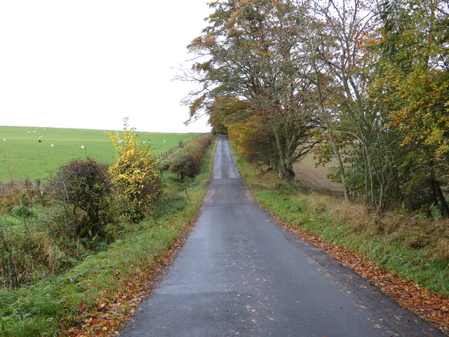
For those seeking outdoor activities, the wood offers a network of well-maintained trails, perfect for walking, hiking, and cycling. The paths wind through the enchanting woodland, allowing visitors to fully immerse themselves in the tranquility of nature. Additionally, there are designated picnic areas for those who wish to relax and enjoy a meal amidst the breathtaking scenery.

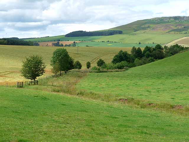
Bowshot Wood is a cherished natural treasure in Roxburghshire, providing an escape from the hustle and bustle of everyday life. Its stunning landscape, diverse flora and fauna, and recreational opportunities make it a beloved destination for both locals and tourists seeking solace and adventure in the heart of nature.

If you have any feedback on the listing, please let us know in the comments section below.
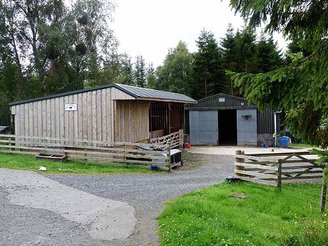
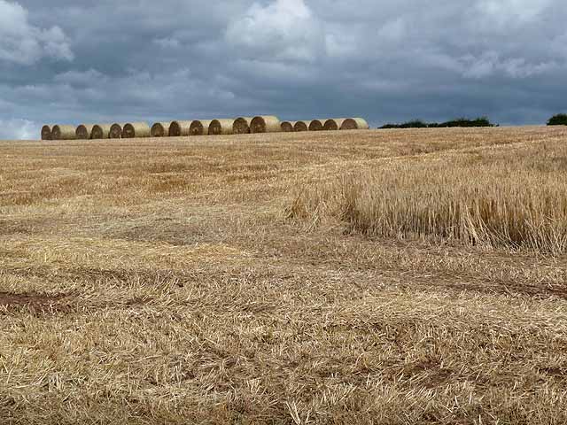
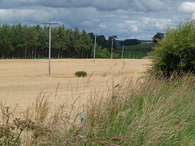
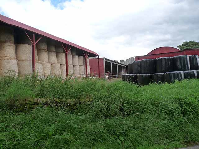
Bowshot Wood Images

Images are sourced within 2km of 55.414747/-2.6233329 or Grid Reference NT6013. Thanks to Geograph Open Source API. All images are credited.

The ruined remains of Abbotrule Church The church had belonged to Jedburgh Abbey from the early 12th century until its abandonment in 1777. The gable walls and bellcote are all that remain together with some old headstones inside the building and in the former churchyard.
The ruined remains of Abbotrule Church
The church had belonged to Jedburgh Abbey from the early 12th century until its abandonment in 1777. The gable walls and bellcote are all that remain together with some old headstones inside the building and in the former churchyard.
Old gravestones inside the ruins of Abbotrule Church These old stones are resting against the east gable wall.
Old gravestones inside the ruins of Abbotrule Church
These old stones are resting against the east gable wall.
Old grave slabs by the ruined Abbotrule Church These stones are on the south side of the ruined church. The grave marker on the left is a hogback stone.
Old grave slabs by the ruined Abbotrule Church
These stones are on the south side of the ruined church. The grave marker on the left is a hogback stone.
Sheep at Abbotrule A large grazing field with the remains of Abbotrule Church on the right.
Sheep at Abbotrule
A large grazing field with the remains of Abbotrule Church on the right.
Gravestones by the remains of Abbotrule Church The stones are on the south side of the ruined church.
Gravestones by the remains of Abbotrule Church
The stones are on the south side of the ruined church.
The ruined remains of Abbotrule Church The church had belonged to Jedburgh Abbey from the early 12th century until its abandonment in 1777. The gable walls and bellcote are all that remain together with some old headstones inside the building and in the former churchyard. This was viewed in early December 2017. For a similar view in October 2006 see <a href="https://www.geograph.org.uk/photo/255079">NT6112 : The remains of Abbotrule Church</a>.
The ruined remains of Abbotrule Church
The church had belonged to Jedburgh Abbey from the early 12th century until its abandonment in 1777. The gable walls and bellcote are all that remain together with some old headstones inside the building and in the former churchyard. This was viewed in early December 2017. For a similar view in October 2006 see NT6112 : The remains of Abbotrule Church.
Road and Bridge crossing Fodderlee Sike Looking south-eastward.
Road and Bridge crossing Fodderlee Sike
Looking south-eastward.
Minor road at High Fodderlee Looking north-westward.
Minor road at High Fodderlee
Looking north-westward.
Minor road at Bowshot Looking south-eastward.
Minor road at Bowshot
Looking south-eastward.
Farm yard near High Fodderlee Farm yard close, but not adjacent, to High Fodderlee Farm. The distinctive summit of Rubers Law <a href="https://www.geograph.org.uk/gridref/NT5815">NT5815</a> can be seen on the skyline beyond the valley of the Rule Water.
Farm yard near High Fodderlee
Farm yard close, but not adjacent, to High Fodderlee Farm. The distinctive summit of Rubers Law NT5815 can be seen on the skyline beyond the valley of the Rule Water.
Farm buildings at High Fodderlee This appears to be a new farm, possibly associated with a timber business.
Farm buildings at High Fodderlee
This appears to be a new farm, possibly associated with a timber business.
Barley field above Fodderlee Syke A partly-harvested field of barley. Bales of straw can be seen at the top of the field.
Barley field above Fodderlee Syke
A partly-harvested field of barley. Bales of straw can be seen at the top of the field.
Field of barley in the valley of the Rule Water Beside the road south of Fulton Tower.
Field of barley in the valley of the Rule Water
Beside the road south of Fulton Tower.
Barns at Ruletownhead Farm
Country road near Ruletownhead A very fine, but one-sided avenue of mature beech trees.
Country road near Ruletownhead
A very fine, but one-sided avenue of mature beech trees.
Farm buildings at East Fodderlee Rubers Law <a href="https://www.geograph.org.uk/gridref/NT5815">NT5815</a> on the skyline.
Farm buildings at East Fodderlee
Rubers Law NT5815 on the skyline.
Poplar plantation by Fodderlee Sike
Farmland along Fodderlee Sike The craggy summit of Rubers Law <a href="https://www.geograph.org.uk/gridref/NT5815">NT5815</a> on the skyline.
Farmland along Fodderlee Sike
The craggy summit of Rubers Law NT5815 on the skyline.
Show me another place!

Bowshot Wood is located at Grid Ref: NT6013 (Lat: 55.414747, Lng: -2.6233329)

Unitary Authority: The Scottish Borders

Police Authority: The Lothians and Scottish Borders

What 3 Words

///diverts.vegans.technical. Near Jedburgh, Scottish Borders

Related Wikis

Nearby Amenities

Located within 500m of 55.414747,-2.6233329
Paradise
Place: isolated_dwelling
Lat/Long: 55.412136/-2.6287758
Hi Foderlee
Place: hamlet
Lat/Long: 55.4174056/-2.6191006
Power: pole
Lat/Long: 55.419206/-2.6235739
Power: pole
Lat/Long: 55.4187408/-2.6223115
Power: pole
Lat/Long: 55.4182555/-2.621011
Power: pole
Lat/Long: 55.4177571/-2.6196646
Power: pole
Lat/Long: 55.4118196/-2.628461
The data included in this document is from www.openstreetmap.org. The data is made available under ODbL.

Have you been to Bowshot Wood?

Leave your review of Bowshot Wood below (or comments, questions and feedback).