Curling Pond Strip

Downs, Moorland in Roxburghshire

Scotland

Curling Pond Strip

The ruined remains of Abbotrule Church The church had belonged to Jedburgh Abbey from the early 12th century until its abandonment in 1777. The gable walls and bellcote are all that remain together with some old headstones inside the building and in the former churchyard.
The ruined remains of Abbotrule Church Credit: Walter Baxter

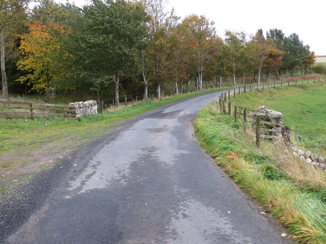
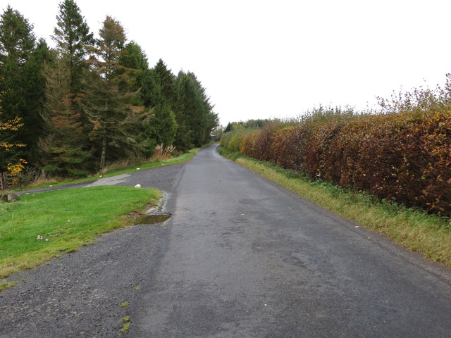
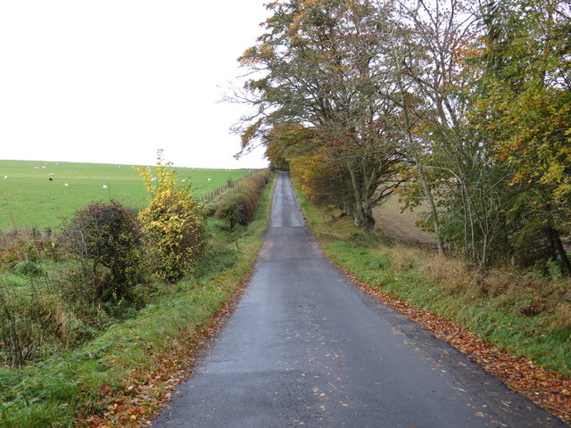
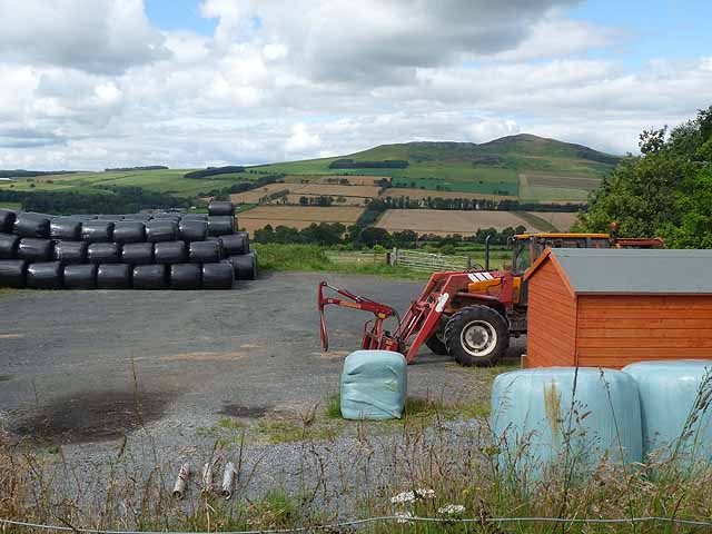
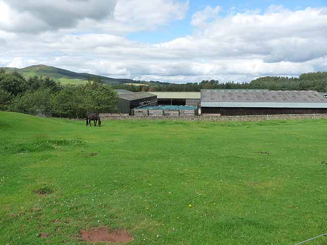
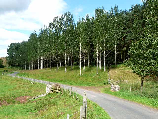
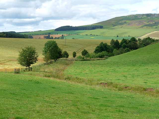
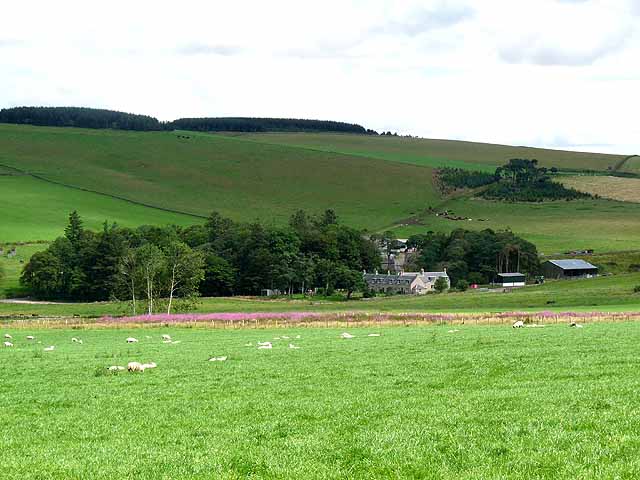
Curling Pond Strip is a picturesque stretch of land located in Roxburghshire, a historic county in the Scottish Borders region of Scotland. Situated on the outskirts of the town of Hawick, this strip of land offers a unique blend of downs and moorland landscapes.

The Curling Pond Strip derives its name from the nearby curling pond, a traditional Scottish sport that involves sliding granite stones across the ice towards a target. The pond itself is a prominent feature of the area, attracting both recreational curlers and spectators during the winter months.

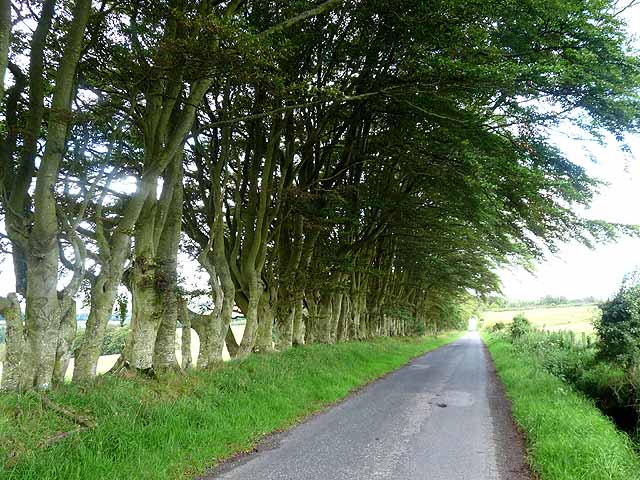
The strip is characterized by gently rolling downs, adorned with lush green grass and scattered with wildflowers during the warmer seasons. The downs offer a peaceful and serene atmosphere, providing visitors with an opportunity to relax and soak in the natural beauty of the surroundings.

Adjacent to the downs, the moorland adds another layer of diversity to the landscape. Heather-covered hills and open expanses dominate the moorland, creating a stark contrast to the downs. This rugged terrain is home to a variety of flora and fauna, including heather plants, mosses, and various species of birds.

Curling Pond Strip is a popular destination for nature enthusiasts, hikers, and those seeking a tranquil escape from the hustle and bustle of urban life. The area offers a range of walking trails, allowing visitors to explore the downs, moorland, and the picturesque curling pond. With its breathtaking scenery and natural wonders, Curling Pond Strip is a must-visit location for anyone seeking a taste of Scotland's rugged beauty.

If you have any feedback on the listing, please let us know in the comments section below.

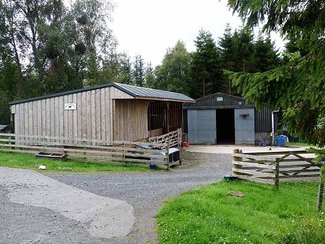
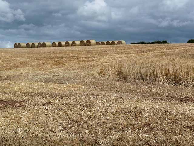
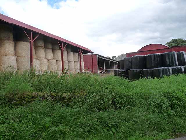
Curling Pond Strip Images

Images are sourced within 2km of 55.412549/-2.6190336 or Grid Reference NT6013. Thanks to Geograph Open Source API. All images are credited.

The ruined remains of Abbotrule Church The church had belonged to Jedburgh Abbey from the early 12th century until its abandonment in 1777. The gable walls and bellcote are all that remain together with some old headstones inside the building and in the former churchyard.
The ruined remains of Abbotrule Church
The church had belonged to Jedburgh Abbey from the early 12th century until its abandonment in 1777. The gable walls and bellcote are all that remain together with some old headstones inside the building and in the former churchyard.
Old gravestones inside the ruins of Abbotrule Church These old stones are resting against the east gable wall.
Old gravestones inside the ruins of Abbotrule Church
These old stones are resting against the east gable wall.
Old grave slabs by the ruined Abbotrule Church These stones are on the south side of the ruined church. The grave marker on the left is a hogback stone.
Old grave slabs by the ruined Abbotrule Church
These stones are on the south side of the ruined church. The grave marker on the left is a hogback stone.
Sheep at Abbotrule A large grazing field with the remains of Abbotrule Church on the right.
Sheep at Abbotrule
A large grazing field with the remains of Abbotrule Church on the right.
Gravestones by the remains of Abbotrule Church The stones are on the south side of the ruined church.
Gravestones by the remains of Abbotrule Church
The stones are on the south side of the ruined church.
The ruined remains of Abbotrule Church The church had belonged to Jedburgh Abbey from the early 12th century until its abandonment in 1777. The gable walls and bellcote are all that remain together with some old headstones inside the building and in the former churchyard. This was viewed in early December 2017. For a similar view in October 2006 see <a href="https://www.geograph.org.uk/photo/255079">NT6112 : The remains of Abbotrule Church</a>.
The ruined remains of Abbotrule Church
The church had belonged to Jedburgh Abbey from the early 12th century until its abandonment in 1777. The gable walls and bellcote are all that remain together with some old headstones inside the building and in the former churchyard. This was viewed in early December 2017. For a similar view in October 2006 see NT6112 : The remains of Abbotrule Church.
Road and Bridge crossing Fodderlee Sike Looking south-eastward.
Road and Bridge crossing Fodderlee Sike
Looking south-eastward.
Minor road at High Fodderlee Looking north-westward.
Minor road at High Fodderlee
Looking north-westward.
Minor road at Bowshot Looking south-eastward.
Minor road at Bowshot
Looking south-eastward.
Farm yard near High Fodderlee Farm yard close, but not adjacent, to High Fodderlee Farm. The distinctive summit of Rubers Law <a href="https://www.geograph.org.uk/gridref/NT5815">NT5815</a> can be seen on the skyline beyond the valley of the Rule Water.
Farm yard near High Fodderlee
Farm yard close, but not adjacent, to High Fodderlee Farm. The distinctive summit of Rubers Law NT5815 can be seen on the skyline beyond the valley of the Rule Water.
Farm buildings at High Fodderlee This appears to be a new farm, possibly associated with a timber business.
Farm buildings at High Fodderlee
This appears to be a new farm, possibly associated with a timber business.
Barley field above Fodderlee Syke A partly-harvested field of barley. Bales of straw can be seen at the top of the field.
Barley field above Fodderlee Syke
A partly-harvested field of barley. Bales of straw can be seen at the top of the field.
Barns at Ruletownhead Farm
Country road near Ruletownhead A very fine, but one-sided avenue of mature beech trees.
Country road near Ruletownhead
A very fine, but one-sided avenue of mature beech trees.
Farm buildings at East Fodderlee Rubers Law <a href="https://www.geograph.org.uk/gridref/NT5815">NT5815</a> on the skyline.
Farm buildings at East Fodderlee
Rubers Law NT5815 on the skyline.
Poplar plantation by Fodderlee Sike
Farmland along Fodderlee Sike The craggy summit of Rubers Law <a href="https://www.geograph.org.uk/gridref/NT5815">NT5815</a> on the skyline.
Farmland along Fodderlee Sike
The craggy summit of Rubers Law NT5815 on the skyline.
Westerhouses Farm In a valley at the head of the Rule Water.
Westerhouses Farm
In a valley at the head of the Rule Water.
Show me another place!

Curling Pond Strip is located at Grid Ref: NT6013 (Lat: 55.412549, Lng: -2.6190336)

Unitary Authority: The Scottish Borders

Police Authority: The Lothians and Scottish Borders

What 3 Words

///scoping.waiters.standard. Near Jedburgh, Scottish Borders

Related Wikis

Nearby Amenities

Located within 500m of 55.412549,-2.6190336
The Grange
Place: isolated_dwelling
Lat/Long: 55.4099808/-2.6201318
Abbotrule
Place: hamlet
Wikidata: Q4664263
Wikipedia: en:Abbotrule
Lat/Long: 55.4085481/-2.6178784
Power: pole
Lat/Long: 55.4096372/-2.6248664
Power: pole
Lat/Long: 55.4094749/-2.6234811
Power: pole
Lat/Long: 55.409339/-2.6223687
Power: pole
Lat/Long: 55.4092717/-2.6207233
Power: pole
Lat/Long: 55.4089896/-2.6193044
Power: pole
Lat/Long: 55.408589/-2.6175406
Power: pole
Lat/Long: 55.4092133/-2.6160986
Power: pole
Lat/Long: 55.4096854/-2.6151098
Power: pole
Lat/Long: 55.4101766/-2.6140824
Power: pole
Lat/Long: 55.410659/-2.6130833
Power: pole
Lat/Long: 55.4111414/-2.6120611
The data included in this document is from www.openstreetmap.org. The data is made available under ODbL.

Have you been to Curling Pond Strip?

Leave your review of Curling Pond Strip below (or comments, questions and feedback).