Reekie Brae

Downs, Moorland in Orkney

Scotland

Reekie Brae

Copinsay: sunset over the lighthouse Looking across to the silhouetted lighthouse on the isle of Copinsay from the Aberdeen-Kirkwall-Lerwick ferry. It is four minutes to ten.
Copinsay: sunset over the lighthouse Credit: Chris Downer

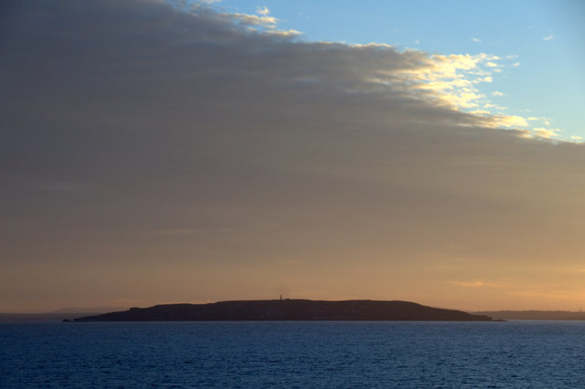
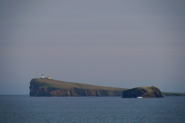
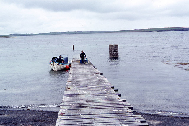
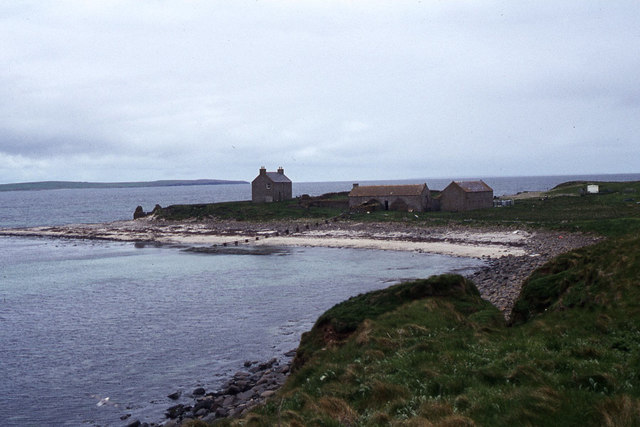
Reekie Brae is a picturesque area located in the Orkney Islands, situated off the northeastern coast of Scotland. Known for its stunning natural beauty, Reekie Brae is a popular destination for both locals and tourists alike.

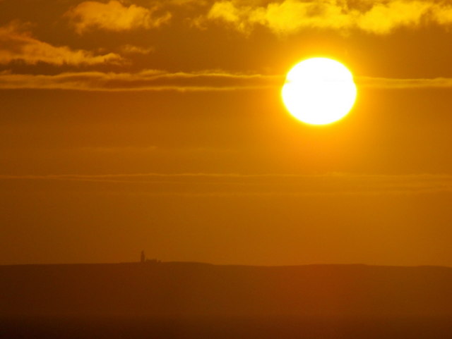
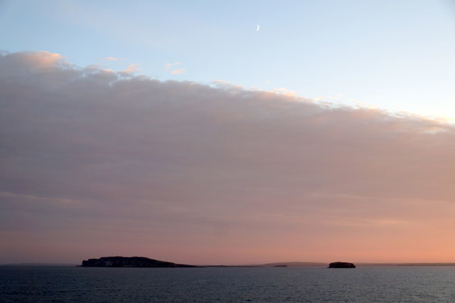
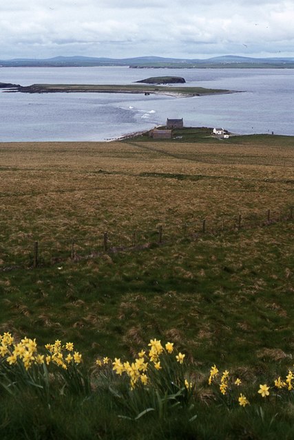
The landscape of Reekie Brae is characterized by rolling downs and moorland, creating a captivating and diverse terrain. The downs, covered in lush green grass and wildflowers, offer breathtaking views of the surrounding countryside and the vast expanse of the North Sea. This area is perfect for leisurely walks, picnics, and exploring the rich wildlife that calls Reekie Brae home.

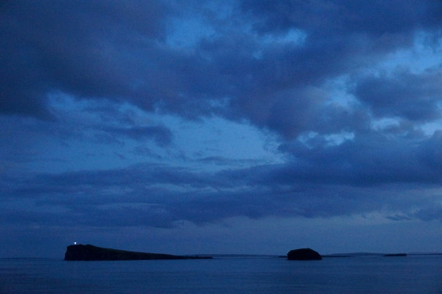
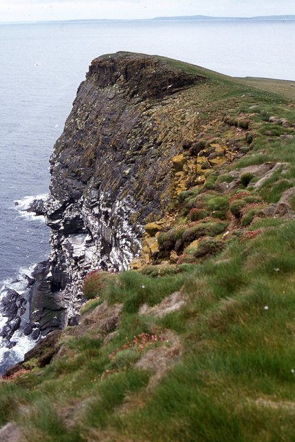
The moorland in Reekie Brae is a unique feature of the area, with its rugged and untouched beauty. This landscape is dominated by heather, scattered rocky outcrops, and small lochs, creating a sense of tranquility and isolation. Moorland birds such as curlews, lapwings, and red grouse can often be spotted here, adding to the allure of this remote and unspoiled environment.

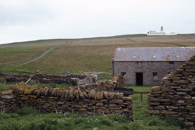
Reekie Brae is also known for its historical significance, with ancient archaeological sites scattered throughout the area. Standing stones, burial mounds, and remnants of ancient settlements provide a glimpse into the rich history of the Orkney Islands, dating back thousands of years.

Overall, Reekie Brae offers visitors a chance to immerse themselves in the natural beauty and history of the Orkney Islands. From its rolling downs to its rugged moorland, this area is a true gem waiting to be discovered.

If you have any feedback on the listing, please let us know in the comments section below.
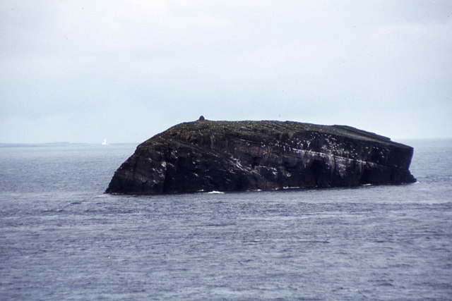
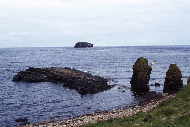
Reekie Brae Images

Images are sourced within 2km of 58.899942/-2.6801584 or Grid Reference HY6001. Thanks to Geograph Open Source API. All images are credited.

Copinsay: sunset over the lighthouse Looking across to the silhouetted lighthouse on the isle of Copinsay from the Aberdeen-Kirkwall-Lerwick ferry. It is four minutes to ten.
Copinsay: sunset over the lighthouse
Looking across to the silhouetted lighthouse on the isle of Copinsay from the Aberdeen-Kirkwall-Lerwick ferry. It is four minutes to ten.
Moon over Copinsay Horse of Copinsay on the left, with the lighthouse just visible on the island. Taken from the ferry from Shetland, somewhere around HY6014.
Moon over Copinsay
Horse of Copinsay on the left, with the lighthouse just visible on the island. Taken from the ferry from Shetland, somewhere around HY6014.
Lighthouse on Copinsay
Copinsay and the Horse of Copinsay
Copinsay from the east Taken from the Aberdeen-Orkney-Shetland ferry 2-3 km to the east.
Copinsay from the east
Taken from the Aberdeen-Orkney-Shetland ferry 2-3 km to the east.
Copinsay and the Horse of Copinsay from the east Taken from the Aberdeen-Orkney-Shetland ferry 2-3 km to the east.
Copinsay and the Horse of Copinsay from the east
Taken from the Aberdeen-Orkney-Shetland ferry 2-3 km to the east.
Horse of Copinsay and Copinsay from the north-east Taken from the Aberdeen-Orkney-Shetland ferry several km to the NE.
Horse of Copinsay and Copinsay from the north-east
Taken from the Aberdeen-Orkney-Shetland ferry several km to the NE.
Copinsay and the Horse of Copinsay at dusk Taken from the Aberdeen-Orkney-Shetland ferry a few kilometres to the NE.
Copinsay and the Horse of Copinsay at dusk
Taken from the Aberdeen-Orkney-Shetland ferry a few kilometres to the NE.
Landing jetty on Copinsay
Copinsay - Island farm and road up to lighthouse
Copinsay - Island farm and associated buildings
Copinsay - southeast facing cliffs near lighthouse
Copinsay - rough grazing on slope west of lighthouse
Copinsay - The lighthouse
Copinsay - cliffs northeast of lighthouse
Copinsay - view southwest along cliffs to lighthouse
The Horse of Copinsay from North View, Copinsay
Copinsay - rock stacks at Sandgeo Taing
Show me another place!

Reekie Brae is located at Grid Ref: HY6001 (Lat: 58.899942, Lng: -2.6801584)

Unitary Authority: Orkney Islands

Police Authority: Highlands and Islands

What 3 Words

///heartache.grower.burden. Near Deerness, Orkney Islands

Related Wikis

Nearby Amenities

Located within 500m of 58.899942,-2.6801584
Created By: almien_coastlines mod
Lat/Long: 58.896968/-2.680921
Created By: almien_coastlines mod
Lat/Long: 58.89569/-2.681428
Created By: almien_coastlines mod
Lat/Long: 58.900818/-2.685089
Created By: almien_coastlines mod
Lat/Long: 58.901064/-2.68113
Created By: almien_coastlines mod
Lat/Long: 58.901445/-2.680137
Created By: almien_coastlines mod
Lat/Long: 58.900173/-2.683117
Created By: almien_coastlines mod
Lat/Long: 58.900954/-2.688551
Created By: almien_coastlines mod
Lat/Long: 58.900552/-2.680888
Created By: almien_coastlines mod
Lat/Long: 58.900693/-2.686575
Created By: almien_coastlines mod
Lat/Long: 58.899145/-2.681642
Created By: almien_coastlines mod
Lat/Long: 58.902197/-2.6737
Created By: almien_coastlines mod
Lat/Long: 58.900179/-2.68559
Created By: almien_coastlines mod
Lat/Long: 58.901952/-2.678154
Created By: almien_coastlines mod
Lat/Long: 58.902207/-2.677657
Created By: almien_coastlines mod
Lat/Long: 58.900169/-2.681633
Created By: almien_coastlines mod
Lat/Long: 58.899402/-2.682135
Created By: almien_coastlines mod
Lat/Long: 58.9017/-2.67964
Created By: almien_coastlines mod
Lat/Long: 58.8962/-2.680928
Created By: almien_coastlines mod
Lat/Long: 58.897736/-2.680914
Created By: almien_coastlines mod
Lat/Long: 58.898759/-2.68041
Created By: almien_coastlines mod
Lat/Long: 58.897991/-2.680417
Created By: almien_coastlines mod
Lat/Long: 58.899662/-2.683616
Created By: almien_coastlines mod
Lat/Long: 58.900694/-2.687069
Created By: almien_coastlines mod
Lat/Long: 58.902194/-2.67271
Created By: almien_coastlines mod
Lat/Long: 58.90119/-2.680634
Created By: almien_coastlines mod
Lat/Long: 58.899921/-2.685097
Created By: almien_coastlines mod
Lat/Long: 58.898887/-2.680655
Created By: almien_coastlines mod
Lat/Long: 58.902202/-2.675678
Created By: almien_coastlines mod
Lat/Long: 58.900051/-2.685345
Created By: almien_coastlines mod
Lat/Long: 58.900295/-2.680642
The data included in this document is from www.openstreetmap.org. The data is made available under ODbL.

Have you been to Reekie Brae?

Leave your review of Reekie Brae below (or comments, questions and feedback).