Pinkey Common

Downs, Moorland in Herefordshire

England

Pinkey Common

Farmland to the north of Easerfield Coppice
Farmland to the north of Easerfield Coppice Credit: Philip Halling

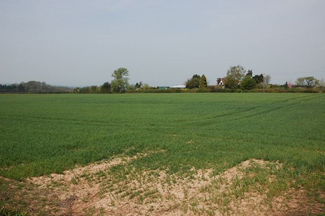
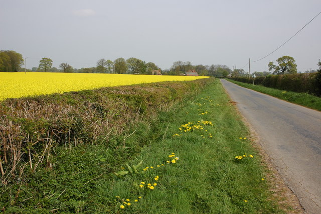
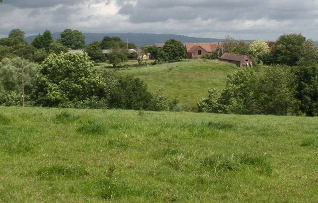
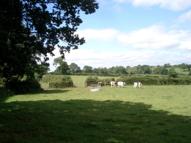
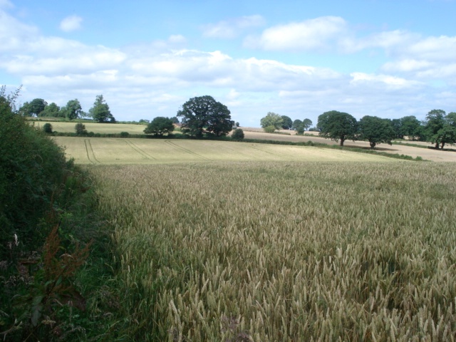
Pinkey Common is a picturesque area located in Herefordshire, England, renowned for its stunning downs and moorland landscapes. Covering approximately 500 acres, this natural gem offers visitors a unique and tranquil experience, away from the hustle and bustle of city life.

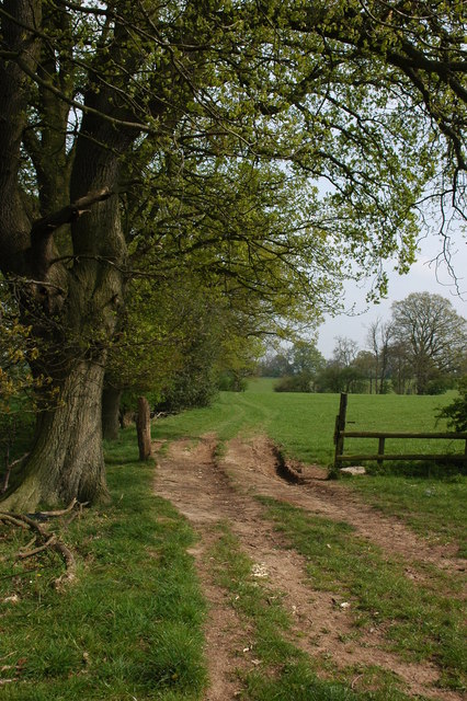
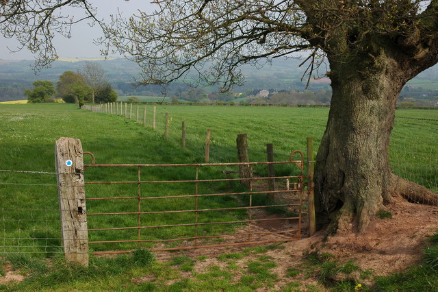
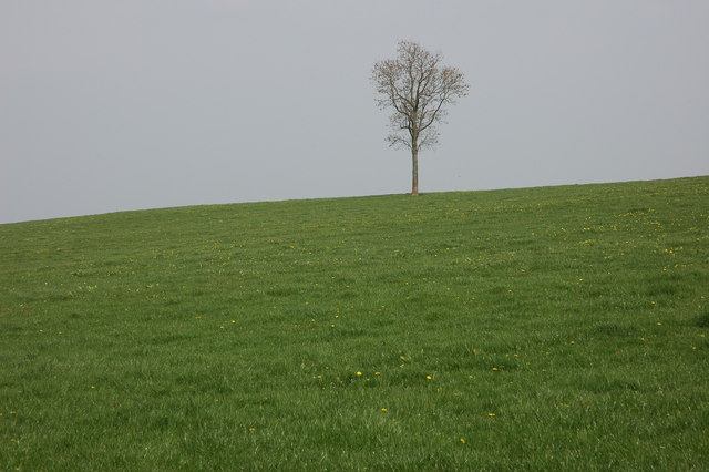
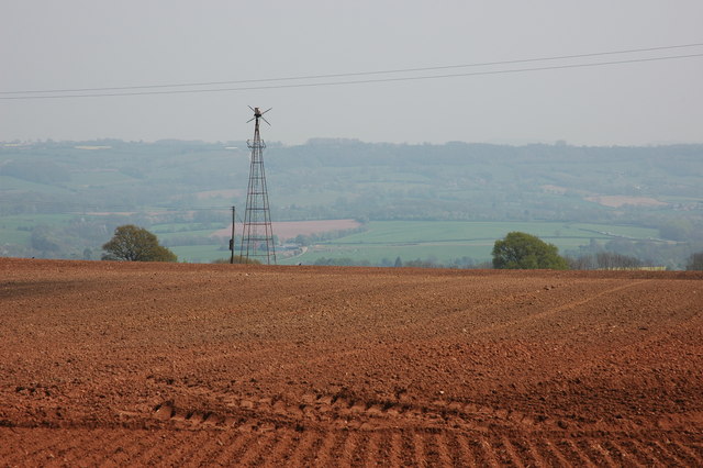
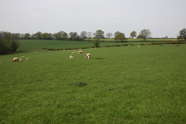
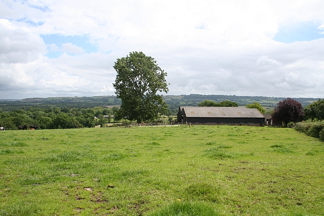
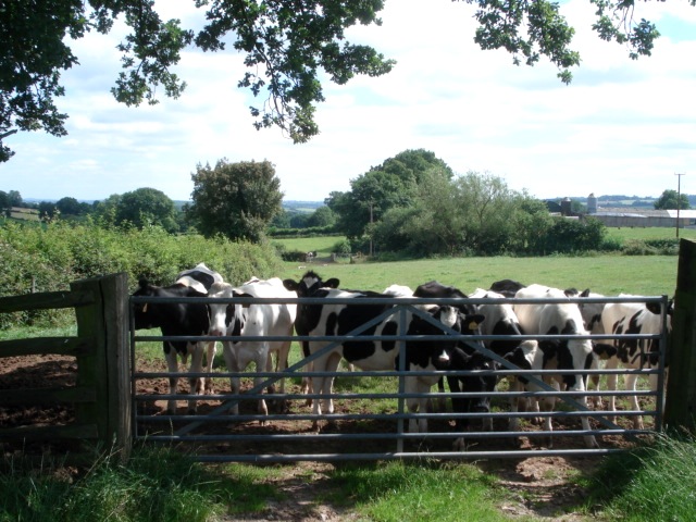
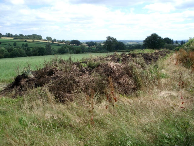
The common is characterized by its undulating terrain, comprising rolling hills, vast meadows, and heathlands covered in a patchwork of vibrant wildflowers. The area is home to a diverse range of flora and fauna, making it a haven for nature enthusiasts and wildlife lovers. Visitors can expect to spot an array of bird species, such as skylarks, lapwings, and buzzards, as well as rare plants like heather and gorse.

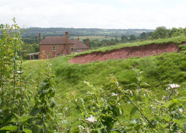
Pinkey Common is also known for its historical significance, with evidence of ancient settlements and burial mounds scattered throughout the area. These archaeological remnants provide a glimpse into the rich cultural heritage of the region, attracting history enthusiasts keen to explore the past.

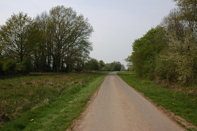
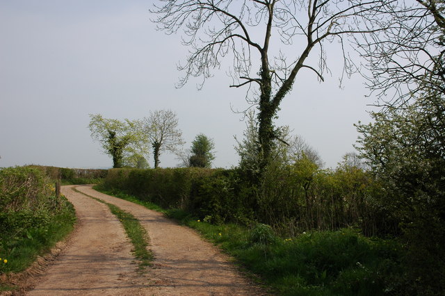
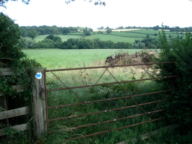
Outdoor activities are abundant at Pinkey Common, with numerous walking trails and bridleways crisscrossing the landscape. Hikers can enjoy breathtaking views of the surrounding countryside from elevated points, while horse riders can traverse the wide-open spaces at their leisure. The common also offers opportunities for picnicking, photography, and simply immersing oneself in the serenity of nature.

Overall, Pinkey Common is a must-visit destination for those seeking a peaceful retreat amidst the beauty of Herefordshire's downs and moorland. Whether it's for a leisurely stroll, birdwatching, or a deeper connection with the area's rich history, Pinkey Common promises an unforgettable experience for all who venture there.

If you have any feedback on the listing, please let us know in the comments section below.

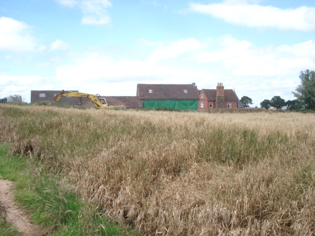
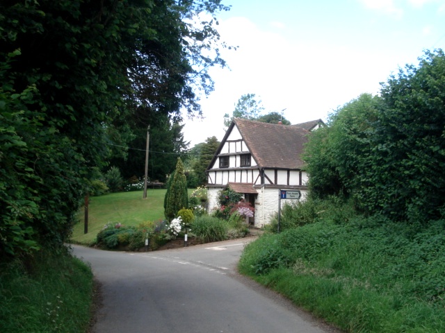
Pinkey Common Images

Images are sourced within 2km of 52.252232/-2.5735515 or Grid Reference SO6061. Thanks to Geograph Open Source API. All images are credited.

Farmland to the north of Easerfield Coppice
Gate on bridleway, near Kyre This bridleway is to the north of Pigeon House Farm. The large house just visible in the distance to the left of the tree is Kyre Park.
Gate on bridleway, near Kyre
This bridleway is to the north of Pigeon House Farm. The large house just visible in the distance to the left of the tree is Kyre Park.
Tree on the skyline This tree stands proud on the skyline in a field to the north of Pigeon House Farm, Kyre.
Tree on the skyline
This tree stands proud on the skyline in a field to the north of Pigeon House Farm, Kyre.
Old windpump at Kyre Green This old windpump is situated to the south of Kyre Green Farm.
Old windpump at Kyre Green
This old windpump is situated to the south of Kyre Green Farm.
Field at Kyre Green
Field at Kyre Green
Road across Salling's Common
Track and bridleway to Garmsley
Sheep in a field at Hampton Charles
Road to Kyre Viewed from near the crossroads in Hampton Charles.
Road to Kyre
Viewed from near the crossroads in Hampton Charles.
Pigeon House Farm Viewed from the end of the drive. With the grey whale of Titterstone Clee in the distance.
Pigeon House Farm
Viewed from the end of the drive. With the grey whale of Titterstone Clee in the distance.
Buildings of Bank Farm Looking from the end of the drive to Pigeon House Farm.
Buildings of Bank Farm
Looking from the end of the drive to Pigeon House Farm.
Gatehouse Farm Taken (eventually) from the very overgrown public footpath stile.
Gatehouse Farm
Taken (eventually) from the very overgrown public footpath stile.
Dairy pasture at Pool House Farm From the bridleway heading northwards.
Dairy pasture at Pool House Farm
From the bridleway heading northwards.
Young bullocks at Pool House Farm Part of a Friesian herd. Looking southwards on the bridleway towards the farm buildings.
Young bullocks at Pool House Farm
Part of a Friesian herd. Looking southwards on the bridleway towards the farm buildings.
Dung pile at Pool House Farm Waiting to be spread at some time, this long pile sits on the bridleway. Fortunately it was easy to walk around.
Dung pile at Pool House Farm
Waiting to be spread at some time, this long pile sits on the bridleway. Fortunately it was easy to walk around.
Gateway on Pool House Farm Looking eastwards towards Wall Hills.
Gateway on Pool House Farm
Looking eastwards towards Wall Hills.
Wheat field at Kyrebatch Farm The crop is in good condition despite the recent wettest June on record. Only one problem - just ahead the bridleway is supposed to cut across the middle of this field to the right hedge but there is no crop gap, so I walk all the way around the perimeter in two-foot long grass to avoid damage. A common walker's hazard.
Wheat field at Kyrebatch Farm
The crop is in good condition despite the recent wettest June on record. Only one problem - just ahead the bridleway is supposed to cut across the middle of this field to the right hedge but there is no crop gap, so I walk all the way around the perimeter in two-foot long grass to avoid damage. A common walker's hazard.
Kyrebatch Farm Looking northwards along the bridleway with a barley crop to the right.
Kyrebatch Farm
Looking northwards along the bridleway with a barley crop to the right.
Show me another place!

Pinkey Common is located at Grid Ref: SO6061 (Lat: 52.252232, Lng: -2.5735515)

Unitary Authority: County of Herefordshire

Police Authority: West Mercia

What 3 Words

///dimension.pinch.radiates. Near Thornbury, Herefordshire

Related Wikis

Hampton Charles, Herefordshire

Hampton Charles is a dispersed hamlet and civil parish in Herefordshire, England, and approximately 5 miles (8 km) north-west from Bromyard. The Herefordshire...

Bockleton

Bockleton is a small village and civil parish (with a shared parish council with neighbouring Stoke Bliss and Kyre) in the Malvern Hills district of Worcestershire...

Thornbury, Herefordshire

Thornbury is a village in Herefordshire, England, 5.5 km (3.4 mi) north of the town of Bromyard. The population of the village as taken at the 2011 census...

Kyre

Kyre is a small village and civil parish in the Malvern Hills district of the county of Worcestershire, England, and shares its parish council with neighbouring...

Nearby Amenities

Located within 500m of 52.252232,-2.5735515
Post Box
Collection Times: Mo-Fr 15:30; Sa 09:15
Post Box Type: lamp
Ref: WR15 98
Royal Cypher: EIIR
Royal Cypher Wikidata: Q33102113
Lat/Long: 52.2483741/-2.5735493
The data included in this document is from www.openstreetmap.org. The data is made available under ODbL.

Have you been to Pinkey Common?

Leave your review of Pinkey Common below (or comments, questions and feedback).