Abbotrule

Settlement in Roxburghshire

Scotland

Abbotrule

The ruined remains of Abbotrule Church The church had belonged to Jedburgh Abbey from the early 12th century until its abandonment in 1777. The gable walls and bellcote are all that remain together with some old headstones inside the building and in the former churchyard.
The ruined remains of Abbotrule Church Credit: Walter Baxter

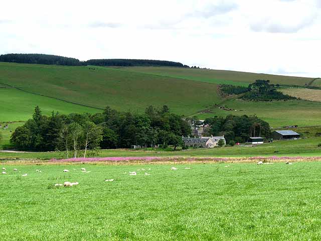
Abbotrule is a small village located in the county of Roxburghshire, Scotland. Situated in the southeastern part of the country, it lies between the larger towns of Hawick and Newcastleton. Nestled in the picturesque Scottish Borders region, Abbotrule is known for its stunning natural beauty and tranquil atmosphere.

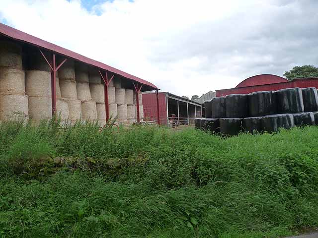
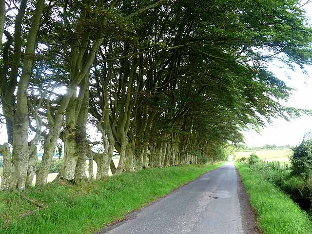
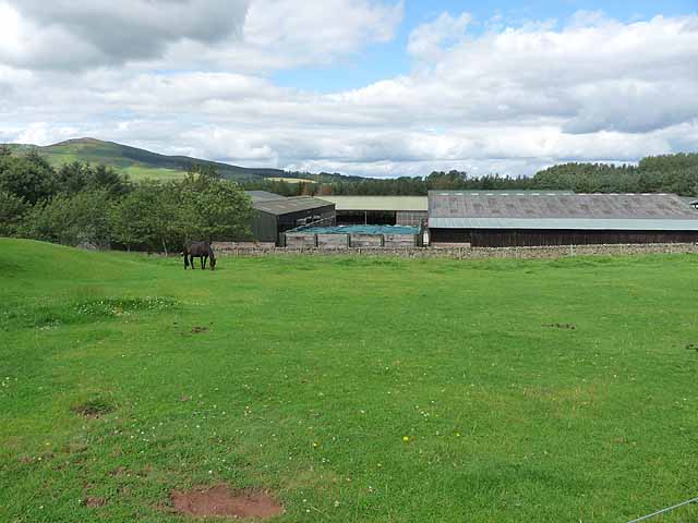
The village is home to a small population, with only a handful of houses and a community center. The surrounding landscape is characterized by rolling green hills, dense forests, and winding rivers, offering residents and visitors alike ample opportunities for outdoor activities such as hiking, fishing, and birdwatching.

Abbotrule has a rich history, with its origins dating back to the medieval period. The village takes its name from the former Augustinian abbey that once stood nearby. Although the abbey no longer exists, remnants of its existence can still be found in the form of ruins and archaeological sites, attracting history enthusiasts to the area.

Modern amenities in Abbotrule are limited, with the nearest shops and services located in the neighboring towns. However, this lack of urban development adds to the village's charm and tranquility, making it an ideal destination for those seeking a peaceful retreat away from the hustle and bustle of city life.

Overall, Abbotrule offers a serene and idyllic setting for residents and visitors to enjoy the beauty of the Scottish countryside and immerse themselves in the area's rich historical heritage.

If you have any feedback on the listing, please let us know in the comments section below.
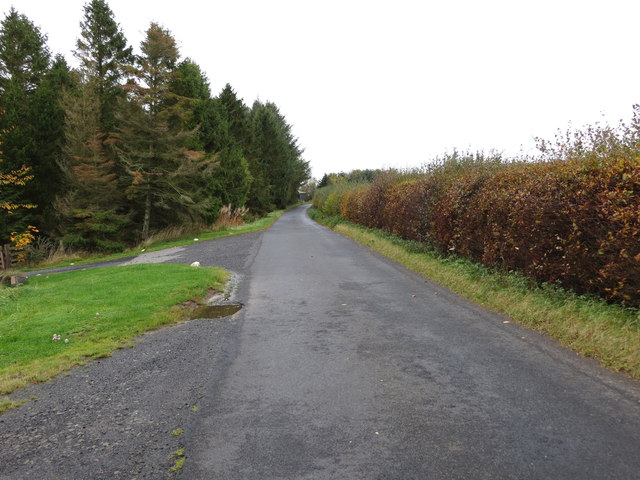
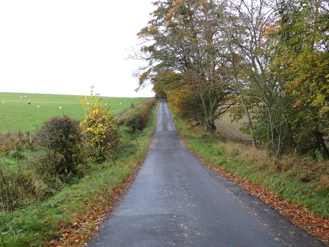
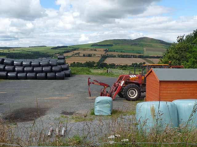
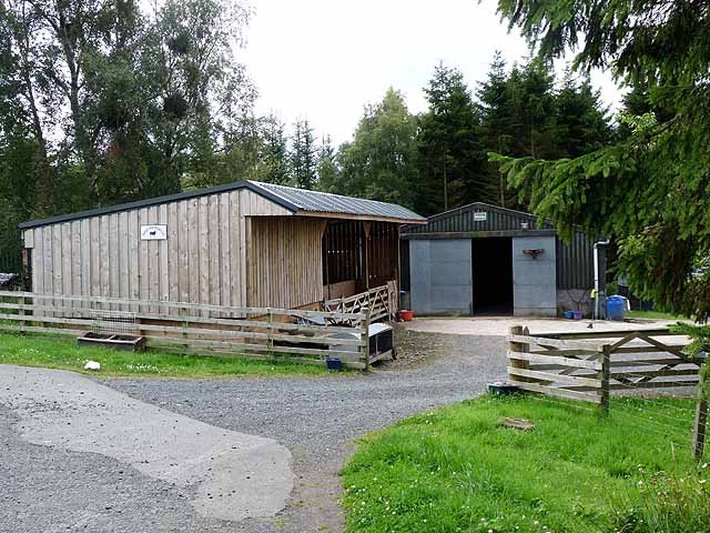
Abbotrule Images

Images are sourced within 2km of 55.40936/-2.6189206 or Grid Reference NT6013. Thanks to Geograph Open Source API. All images are credited.

The ruined remains of Abbotrule Church The church had belonged to Jedburgh Abbey from the early 12th century until its abandonment in 1777. The gable walls and bellcote are all that remain together with some old headstones inside the building and in the former churchyard.
The ruined remains of Abbotrule Church
The church had belonged to Jedburgh Abbey from the early 12th century until its abandonment in 1777. The gable walls and bellcote are all that remain together with some old headstones inside the building and in the former churchyard.
Old gravestones inside the ruins of Abbotrule Church These old stones are resting against the east gable wall.
Old gravestones inside the ruins of Abbotrule Church
These old stones are resting against the east gable wall.
Old grave slabs by the ruined Abbotrule Church These stones are on the south side of the ruined church. The grave marker on the left is a hogback stone.
Old grave slabs by the ruined Abbotrule Church
These stones are on the south side of the ruined church. The grave marker on the left is a hogback stone.
Sheep at Abbotrule A large grazing field with the remains of Abbotrule Church on the right.
Sheep at Abbotrule
A large grazing field with the remains of Abbotrule Church on the right.
Gravestones by the remains of Abbotrule Church The stones are on the south side of the ruined church.
Gravestones by the remains of Abbotrule Church
The stones are on the south side of the ruined church.
The ruined remains of Abbotrule Church The church had belonged to Jedburgh Abbey from the early 12th century until its abandonment in 1777. The gable walls and bellcote are all that remain together with some old headstones inside the building and in the former churchyard. This was viewed in early December 2017. For a similar view in October 2006 see <a href="https://www.geograph.org.uk/photo/255079">NT6112 : The remains of Abbotrule Church</a>.
The ruined remains of Abbotrule Church
The church had belonged to Jedburgh Abbey from the early 12th century until its abandonment in 1777. The gable walls and bellcote are all that remain together with some old headstones inside the building and in the former churchyard. This was viewed in early December 2017. For a similar view in October 2006 see NT6112 : The remains of Abbotrule Church.
Minor road at High Fodderlee Looking north-westward.
Minor road at High Fodderlee
Looking north-westward.
Minor road at Bowshot Looking south-eastward.
Minor road at Bowshot
Looking south-eastward.
Farm yard near High Fodderlee Farm yard close, but not adjacent, to High Fodderlee Farm. The distinctive summit of Rubers Law <a href="https://www.geograph.org.uk/gridref/NT5815">NT5815</a> can be seen on the skyline beyond the valley of the Rule Water.
Farm yard near High Fodderlee
Farm yard close, but not adjacent, to High Fodderlee Farm. The distinctive summit of Rubers Law NT5815 can be seen on the skyline beyond the valley of the Rule Water.
Farm buildings at High Fodderlee This appears to be a new farm, possibly associated with a timber business.
Farm buildings at High Fodderlee
This appears to be a new farm, possibly associated with a timber business.
Barns at Ruletownhead Farm
Country road near Ruletownhead A very fine, but one-sided avenue of mature beech trees.
Country road near Ruletownhead
A very fine, but one-sided avenue of mature beech trees.
Farm buildings at East Fodderlee Rubers Law <a href="https://www.geograph.org.uk/gridref/NT5815">NT5815</a> on the skyline.
Farm buildings at East Fodderlee
Rubers Law NT5815 on the skyline.
Westerhouses Farm In a valley at the head of the Rule Water.
Westerhouses Farm
In a valley at the head of the Rule Water.
B6357 near Sclaterford
B6357 by Easter Fodderlee
Bowshot Wood Nearly five years on from <a href="https://www.geograph.org.uk/photo/1024145">NT6013 : Bowshot Wood</a>.
Bowshot Wood
Nearly five years on from NT6013 : Bowshot Wood.
Bowshot Ruined house set in damp pasture.
Bowshot
Ruined house set in damp pasture.
Show me another place!

Abbotrule is located at Grid Ref: NT6013 (Lat: 55.40936, Lng: -2.6189206)

Unitary Authority: The Scottish Borders

Police Authority: The Lothians and Scottish Borders

What 3 Words

///announced.engraving.twirls. Near Jedburgh, Scottish Borders

Related Wikis

Nearby Amenities

Located within 500m of 55.40936,-2.6189206
The Grange
Place: isolated_dwelling
Lat/Long: 55.4099808/-2.6201318
Abbotrule
Place: hamlet
Wikidata: Q4664263
Wikipedia: en:Abbotrule
Lat/Long: 55.4085481/-2.6178784
Abbotrule House (site of)
Historic: archaeological_site
Lat/Long: 55.4068303/-2.6172755
Power: pole
Lat/Long: 55.4097994/-2.6262903
Power: pole
Lat/Long: 55.4096372/-2.6248664
Power: pole
Lat/Long: 55.4094749/-2.6234811
Power: pole
Lat/Long: 55.409339/-2.6223687
Power: pole
Lat/Long: 55.4092717/-2.6207233
Power: pole
Lat/Long: 55.4089896/-2.6193044
Power: pole
Lat/Long: 55.408589/-2.6175406
Power: pole
Lat/Long: 55.4092133/-2.6160986
Power: pole
Lat/Long: 55.4096854/-2.6151098
Power: pole
Lat/Long: 55.4101766/-2.6140824
Power: pole
Lat/Long: 55.410659/-2.6130833
Power: pole
Lat/Long: 55.4111414/-2.6120611
The data included in this document is from www.openstreetmap.org. The data is made available under ODbL.

Have you been to Abbotrule?

Leave your review of Abbotrule below (or comments, questions and feedback).