Moss Plantation

Wood, Forest in Roxburghshire

Scotland

Moss Plantation

Ordnance Survey Flush Bracket 11417 This can be found on the wall of a cottage - a private dwelling - at Doorpool.
For more detail see : <span class="nowrap"><a title="http://www.bench-marks.org.uk/bm1550" rel="nofollow ugc noopener" href="http://www.bench-marks.org.uk/bm1550">Link</a><img style="margin-left:2px;" alt="External link" title="External link - shift click to open in new window" src="https://s1.geograph.org.uk/img/external.png" width="10" height="10"/></span>
Ordnance Survey Flush Bracket 11417 Credit: Peter Wood

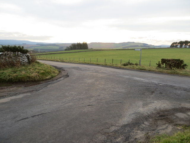
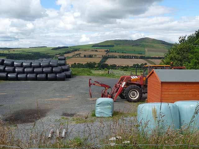
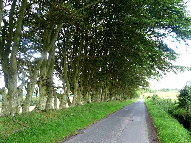
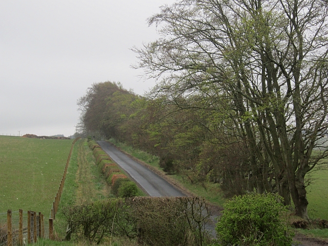
Moss Plantation is a picturesque wood located in Roxburghshire, Scotland. Spanning over a vast area, this forest is known for its rich biodiversity and stunning natural beauty. The plantation is situated in a rural setting, surrounded by rolling hills and meandering streams, offering visitors a tranquil and peaceful experience.

The woodland is primarily composed of moss-covered trees, which lend the plantation its name. These mosses create a unique and enchanting atmosphere, giving the forest a fairytale-like appearance. The vibrant green hues of the mosses, combined with the dappled sunlight filtering through the trees, create a magical ambiance that delights all who visit.

Moss Plantation is home to a diverse range of flora and fauna. Among the tree species found here are oak, birch, and pine, providing a habitat for various bird species and small mammals. The forest floor is adorned with a carpet of wildflowers, including bluebells and primroses, which bloom in the spring, adding bursts of color to the surroundings.

Walking trails wind through the plantation, allowing visitors to explore this natural wonder at their own pace. The trails offer breathtaking views of the surrounding countryside, and there are several lookout points where visitors can pause and appreciate the beauty of the landscape.

Whether hiking, bird-watching, or simply enjoying a leisurely stroll, Moss Plantation offers a serene and idyllic escape from the hustle and bustle of everyday life. Its natural charm and tranquility make it a popular destination for nature enthusiasts and those seeking a peaceful retreat in the heart of Roxburghshire.

If you have any feedback on the listing, please let us know in the comments section below.

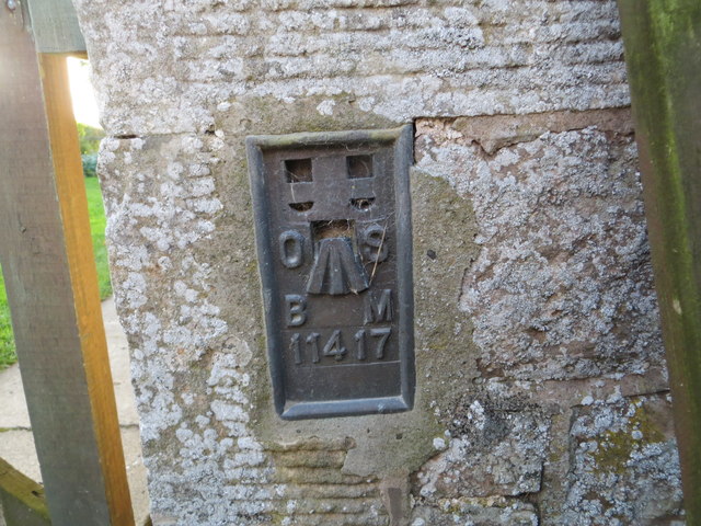
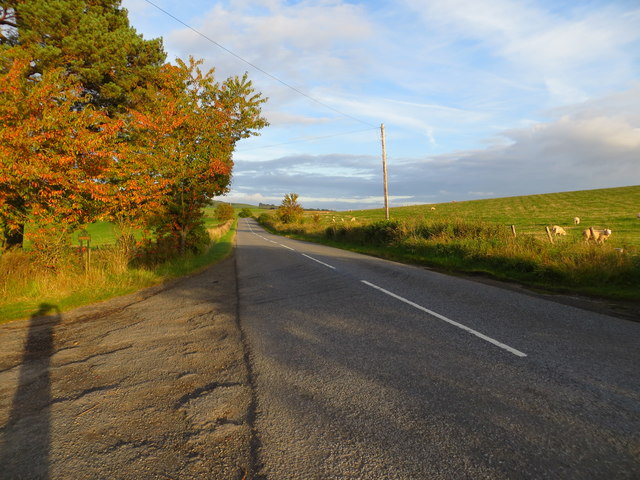
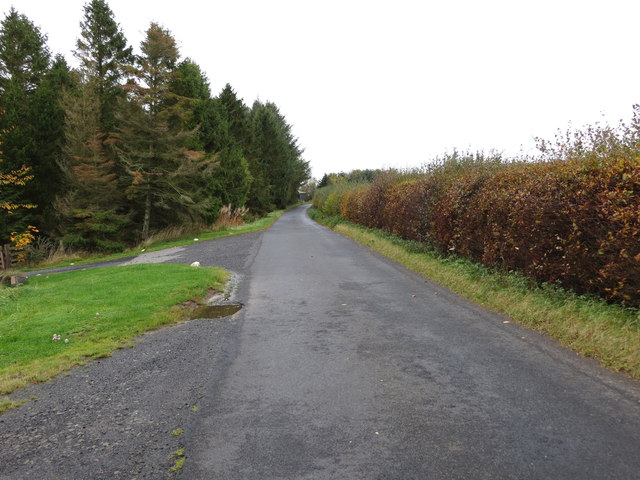
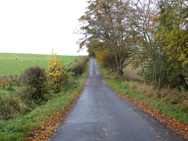
Moss Plantation Images

Images are sourced within 2km of 55.4026/-2.6229048 or Grid Reference NT6012. Thanks to Geograph Open Source API. All images are credited.

Ordnance Survey Flush Bracket 11417 This can be found on the wall of a cottage - a private dwelling - at Doorpool.
For more detail see : <span class="nowrap"><a title="http://www.bench-marks.org.uk/bm1550" rel="nofollow ugc noopener" href="http://www.bench-marks.org.uk/bm1550">Link</a><img style="margin-left:2px;" alt="External link" title="External link - shift click to open in new window" src="https://s1.geograph.org.uk/img/external.png" width="10" height="10"/></span>
Ordnance Survey Flush Bracket 11417
This can be found on the wall of a cottage - a private dwelling - at Doorpool. For more detail see : LinkExternal link
Road (A6088) at Doorpool Cottages Looking eastward.
Road (A6088) at Doorpool Cottages
Looking eastward.
The ruined remains of Abbotrule Church The church had belonged to Jedburgh Abbey from the early 12th century until its abandonment in 1777. The gable walls and bellcote are all that remain together with some old headstones inside the building and in the former churchyard.
The ruined remains of Abbotrule Church
The church had belonged to Jedburgh Abbey from the early 12th century until its abandonment in 1777. The gable walls and bellcote are all that remain together with some old headstones inside the building and in the former churchyard.
Old gravestones inside the ruins of Abbotrule Church These old stones are resting against the east gable wall.
Old gravestones inside the ruins of Abbotrule Church
These old stones are resting against the east gable wall.
Old grave slabs by the ruined Abbotrule Church These stones are on the south side of the ruined church. The grave marker on the left is a hogback stone.
Old grave slabs by the ruined Abbotrule Church
These stones are on the south side of the ruined church. The grave marker on the left is a hogback stone.
Sheep at Abbotrule A large grazing field with the remains of Abbotrule Church on the right.
Sheep at Abbotrule
A large grazing field with the remains of Abbotrule Church on the right.
Gravestones by the remains of Abbotrule Church The stones are on the south side of the ruined church.
Gravestones by the remains of Abbotrule Church
The stones are on the south side of the ruined church.
The ruined remains of Abbotrule Church The church had belonged to Jedburgh Abbey from the early 12th century until its abandonment in 1777. The gable walls and bellcote are all that remain together with some old headstones inside the building and in the former churchyard. This was viewed in early December 2017. For a similar view in October 2006 see <a href="https://www.geograph.org.uk/photo/255079">NT6112 : The remains of Abbotrule Church</a>.
The ruined remains of Abbotrule Church
The church had belonged to Jedburgh Abbey from the early 12th century until its abandonment in 1777. The gable walls and bellcote are all that remain together with some old headstones inside the building and in the former churchyard. This was viewed in early December 2017. For a similar view in October 2006 see NT6112 : The remains of Abbotrule Church.
Minor road at High Fodderlee Looking north-westward.
Minor road at High Fodderlee
Looking north-westward.
Minor road at Bowshot Looking south-eastward.
Minor road at Bowshot
Looking south-eastward.
Junction of roads at Coatlaw Plantation Looking south-westward.
Junction of roads at Coatlaw Plantation
Looking south-westward.
Farm yard near High Fodderlee Farm yard close, but not adjacent, to High Fodderlee Farm. The distinctive summit of Rubers Law <a href="https://www.geograph.org.uk/gridref/NT5815">NT5815</a> can be seen on the skyline beyond the valley of the Rule Water.
Farm yard near High Fodderlee
Farm yard close, but not adjacent, to High Fodderlee Farm. The distinctive summit of Rubers Law NT5815 can be seen on the skyline beyond the valley of the Rule Water.
Farm buildings at High Fodderlee This appears to be a new farm, possibly associated with a timber business.
Farm buildings at High Fodderlee
This appears to be a new farm, possibly associated with a timber business.
Barns at Ruletownhead Farm
Country road near Ruletownhead A very fine, but one-sided avenue of mature beech trees.
Country road near Ruletownhead
A very fine, but one-sided avenue of mature beech trees.
Bowshot Wood Nearly five years on from <a href="https://www.geograph.org.uk/photo/1024145">NT6013 : Bowshot Wood</a>.
Bowshot Wood
Nearly five years on from NT6013 : Bowshot Wood.
Bowshot Ruined house set in damp pasture.
Bowshot
Ruined house set in damp pasture.
Lane, Bowshot A rather damp morning.
Lane, Bowshot
A rather damp morning.
Show me another place!

Moss Plantation is located at Grid Ref: NT6012 (Lat: 55.4026, Lng: -2.6229048)

Unitary Authority: The Scottish Borders

Police Authority: The Lothians and Scottish Borders

What 3 Words

///neatly.searching.vowed. Near Jedburgh, Scottish Borders

Related Wikis

Abbotrule

Abbotrule is a hamlet south of the B6357 road, in the Scottish Borders area of Scotland, on Rule Burn, east of the Rule Water. Places nearby include Bedrule...

Bonchester Bridge

Bonchester Bridge (Scots Binster Brig) is a village in Roxburghshire, within the Scottish Borders area of Scotland, lying on the Rule Water, six miles...

Hallrule

Hallrule is a hamlet on the B6357 road, in the Scottish Borders area of Scotland, on the Rule Water, near Abbotrule, Bedrule Bonchester Bridge, Denholm...

Hobkirk

Hobkirk (Scottish Gaelic: Eaglais Ruail) is a village and civil parish in the Scottish Borders area of Scotland, by the Rule Water, south-west of Jedburgh...

Fulton Tower

Fulton Tower is a ruined 16th century tower house, about 4.5 miles (7.2 km) south west of Jedburgh, Scottish Borders, Scotland, and about 2 miles (3.2...

Southdean

Southdean is a hamlet in the Scottish Borders area of Scotland, on the A6088, by the Jed Water and in the Wauchope Forest area. Other settlements nearby...

Rubers Law

Rubers Law is a prominent, conical hill in the Scottish Borders area of south-east Scotland. It stands on the south bank of the River Teviot, between the...

Wauchope, Scottish Borders

Wauchope is a hamlet in the Scottish Borders council area of Scotland, near Southdean. Wauchope House was demolished in 1932. == See also == Wauchope Forest...

Nearby Amenities

Located within 500m of 55.4026,-2.6229048
The data included in this document is from www.openstreetmap.org. The data is made available under ODbL.

Have you been to Moss Plantation?

Leave your review of Moss Plantation below (or comments, questions and feedback).