Tillyneckle Wood
Wood, Forest in Aberdeenshire
Scotland
Tillyneckle Wood
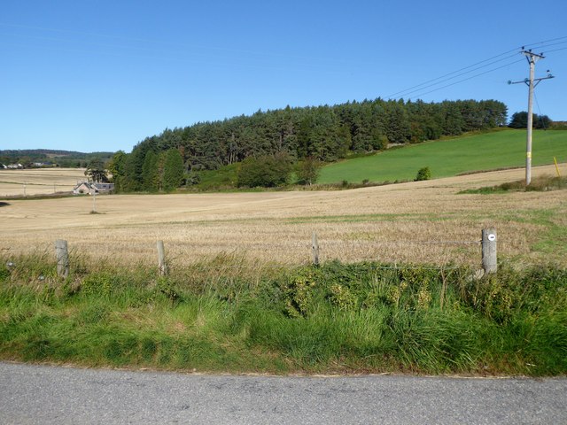
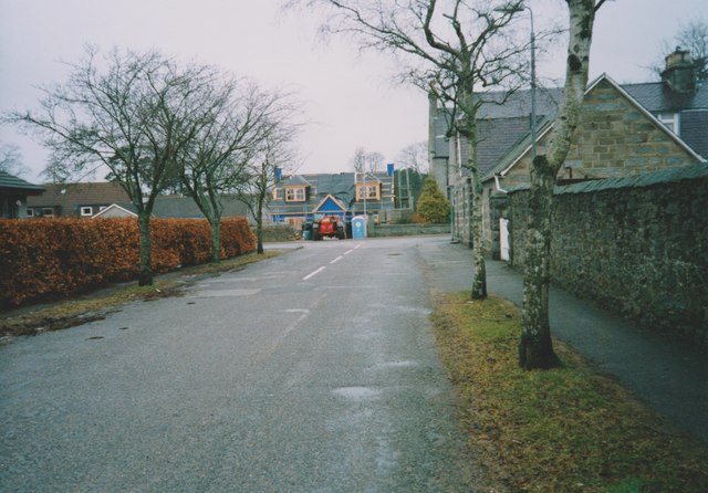
Tillyneckle Wood, located in Aberdeenshire, Scotland, is a picturesque forest known for its natural beauty and diverse wildlife. Covering an area of approximately 100 acres, this ancient woodland is a popular destination for nature enthusiasts and those seeking tranquility amidst the lush greenery.
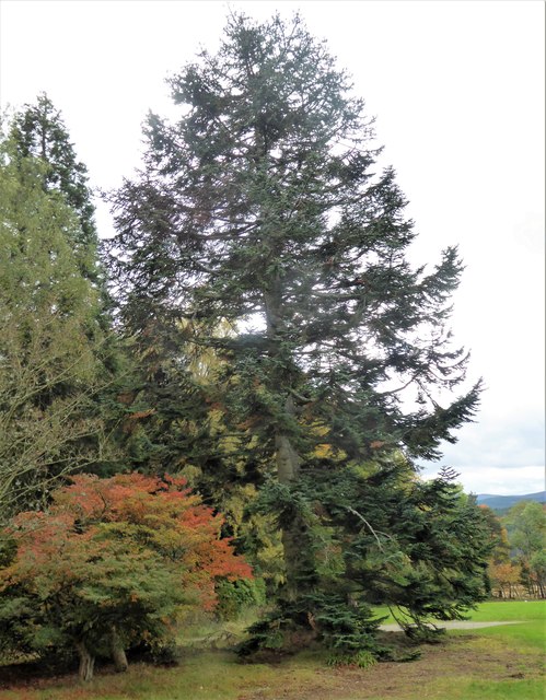
The wood consists primarily of native broadleaf species, including oak, birch, and rowan trees, creating a vibrant and varied landscape throughout the year. The forest floor is carpeted with a rich tapestry of wildflowers, ferns, and mosses, adding to the enchanting atmosphere.
Tillyneckle Wood is also home to a wide range of wildlife, making it a haven for animal lovers. Red squirrels can frequently be spotted darting among the treetops, while roe deer and hares can be seen grazing in the glades. The wood is also a habitat for a variety of bird species, including woodpeckers, owls, and warblers, making it a paradise for birdwatchers.
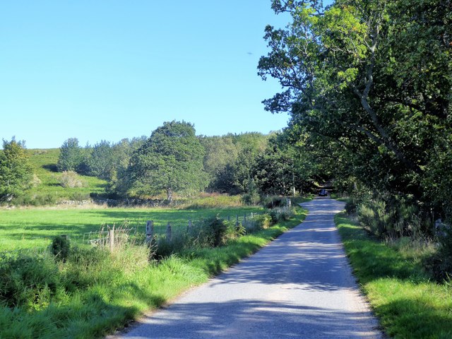
For those interested in exploring the wood, there are numerous walking trails that wind through the forest, providing visitors with an opportunity to immerse themselves in its natural wonders. The paths are well-maintained and suitable for all levels of fitness, ensuring that everyone can enjoy the beauty of Tillyneckle Wood.
Overall, Tillyneckle Wood is a captivating woodland that offers visitors a chance to escape the hustle and bustle of everyday life. With its stunning scenery, diverse wildlife, and peaceful ambiance, it is a place that truly showcases the natural splendor of Aberdeenshire.
If you have any feedback on the listing, please let us know in the comments section below.
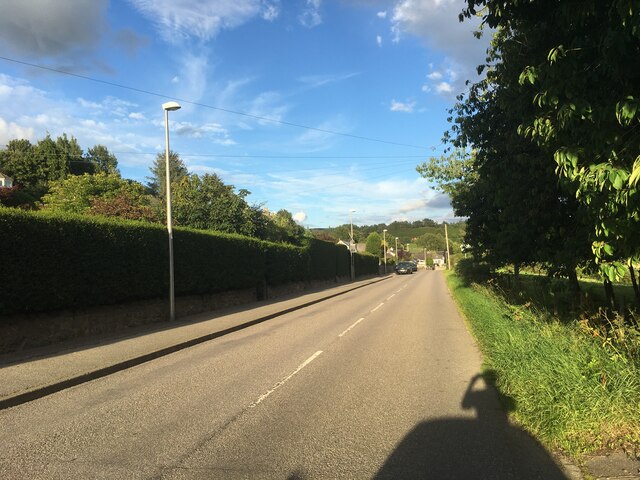
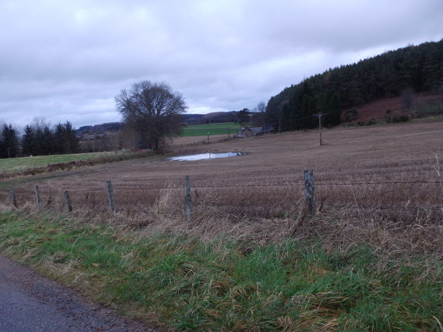
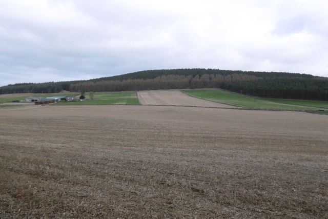
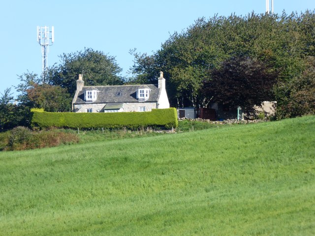
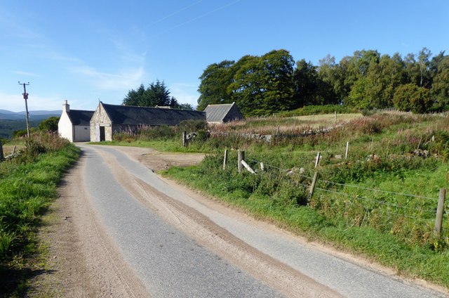
Tillyneckle Wood Images
Images are sourced within 2km of 57.100742/-2.6518447 or Grid Reference NJ6001. Thanks to Geograph Open Source API. All images are credited.


Tillyneckle Wood is located at Grid Ref: NJ6001 (Lat: 57.100742, Lng: -2.6518447)
Unitary Authority: Aberdeenshire
Police Authority: North East
What 3 Words
///anchovies.chain.memo. Near Torphins, Aberdeenshire
Nearby Locations
Related Wikis

Kincardine Castle, Royal Deeside
Kincardine Castle is a Victorian country house in Royal Deeside, Scotland. Formerly known as Kincardine House, it is the private home of the Bradford family...

Torphins
Torphins ( tor-FINZ; Scottish Gaelic: Tòrr Fionn) is a village in Royal Deeside, Aberdeenshire, Scotland which lies about 22 miles (35 km) west of Aberdeen...

Torphins railway station
Torphins railway station served the village of Torphins from 1859 to 1966 on the Deeside Railway that ran from Aberdeen (Joint) to Ballater. == History... ==

Kincardine O'Neil
Kincardine O'Neil (Scottish Gaelic: Cinn Chàrdainn, Scots: Kinker) is a village in Aberdeenshire, Scotland. It is situated between the towns of Banchory...

Kincardine O'Neil Hospital, Aberdeenshire
Kincardine O'Neil Hospital was founded in the 13th century in the village of Kincardine O'Neil in Scotland. Almost certainly it served as a traveler's...

Lumphanan railway station
Lumphanan railway station, Lumphanan, Aberdeenshire, Scotland stood from 1859 to 1966 on the Deeside Railway that ran from Aberdeen (Joint) to Ballater...

Lumphanan
Lumphanan ( lum-FAN-ən; Scottish Gaelic: Lann Fhìonain) is a village in Aberdeenshire, Scotland located 25 miles (40 km) from Aberdeen and 10 miles (16...

Battle of Lumphanan
The Battle of Lumphanan was fought on 15 August 1057, between Macbeth, King of Scots, and the future King Malcolm III. Macbeth would die from wounds sustained...
Nearby Amenities
Located within 500m of 57.100742,-2.6518447Have you been to Tillyneckle Wood?
Leave your review of Tillyneckle Wood below (or comments, questions and feedback).