Avenue Plantation
Wood, Forest in Roxburghshire
Scotland
Avenue Plantation

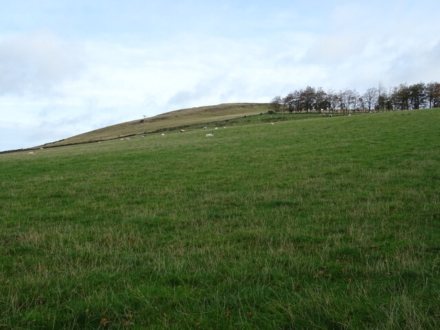
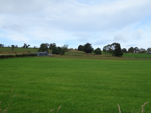
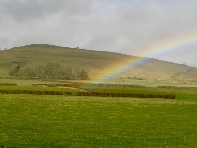
Avenue Plantation, located in Roxburghshire, is a sprawling wood and forest area renowned for its natural beauty and rich biodiversity. Spanning over a vast expanse, this plantation is a haven for nature enthusiasts and offers a tranquil retreat away from the hustle and bustle of city life.
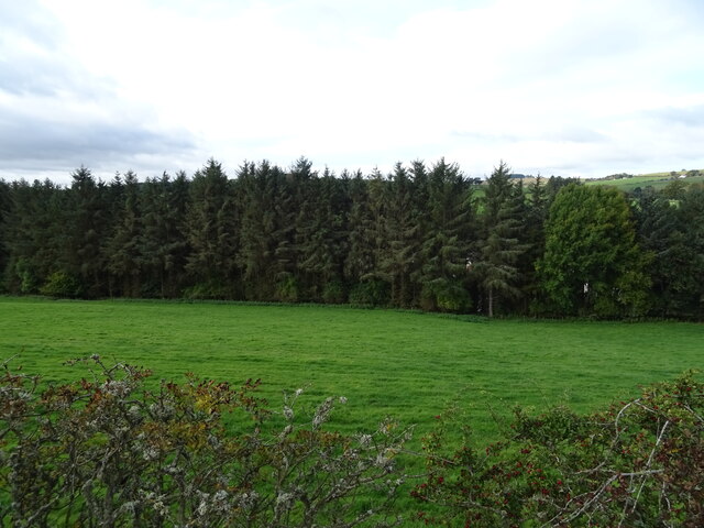
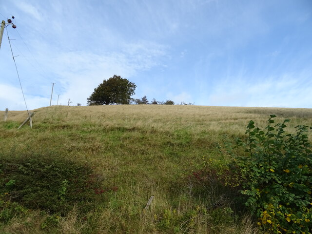
The plantation is characterized by its majestic avenue of tall trees, which form a picturesque canopy overhead, creating a serene and enchanting atmosphere. The towering trees, predominantly oak and beech, provide shelter and habitat for a diverse range of flora and fauna. The forest floor is adorned with a carpet of wildflowers, ferns, and mosses, adding to the overall allure of the area.
Avenue Plantation is home to a variety of wildlife. Birdwatchers can spot a plethora of species, including woodpeckers, owls, and various songbirds. Foxes, deer, and rabbits can also be sighted, adding to the charm of the plantation.
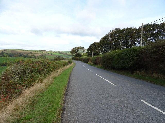
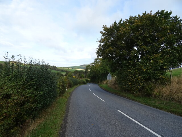
Visitors can explore the plantation through a network of well-maintained walking trails, allowing them to immerse themselves in the natural surroundings. The calm and peaceful ambiance makes it an ideal location for leisurely walks, picnics, and photography.
Furthermore, Avenue Plantation exhibits a commitment to conservation and sustainable management. Efforts are made to preserve the ecosystem and protect the delicate balance of its inhabitants. Educational programs and guided tours are available to raise awareness about the importance of biodiversity and the role forests play in maintaining a healthy environment.
In conclusion, Avenue Plantation in Roxburghshire is a captivating woodland and forest area offering visitors an escape into nature's embrace. With its stunning avenue of trees, diverse wildlife, and commitment to conservation, it is a must-visit destination for nature lovers and those seeking tranquility amidst the beauty of the Scottish countryside.
If you have any feedback on the listing, please let us know in the comments section below.
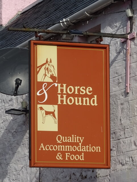
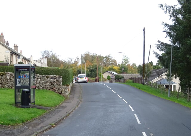
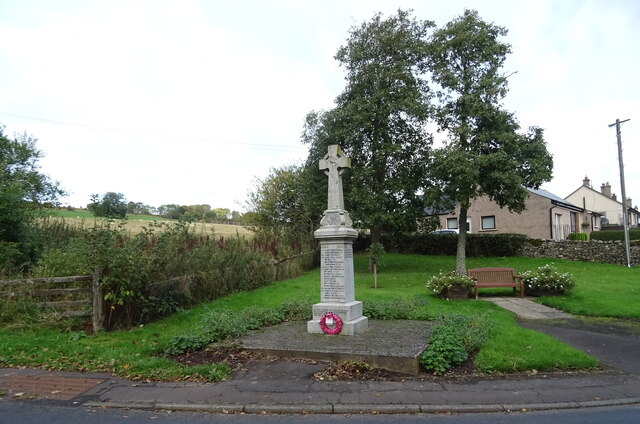
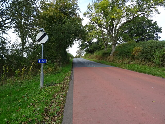
Avenue Plantation Images
Images are sourced within 2km of 55.409031/-2.6510397 or Grid Reference NT5812. Thanks to Geograph Open Source API. All images are credited.

Avenue Plantation is located at Grid Ref: NT5812 (Lat: 55.409031, Lng: -2.6510397)
Unitary Authority: The Scottish Borders
Police Authority: The Lothians and Scottish Borders
What 3 Words
///good.headsets.subplot. Near Hawick, Scottish Borders
Related Wikis

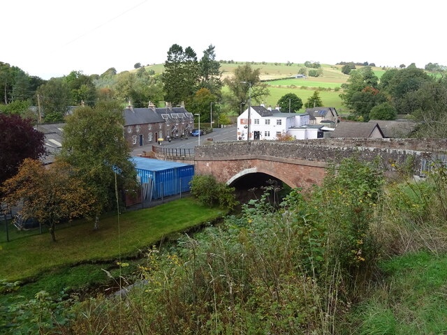
Bonchester Bridge
Bonchester Bridge (Scots Binster Brig) is a village in Roxburghshire, within the Scottish Borders area of Scotland, lying on the Rule Water, six miles...

Hallrule
Hallrule is a hamlet on the B6357 road, in the Scottish Borders area of Scotland, on the Rule Water, near Abbotrule, Bedrule Bonchester Bridge, Denholm...

Abbotrule
Abbotrule is a hamlet south of the B6357 road, in the Scottish Borders area of Scotland, on Rule Burn, east of the Rule Water. Places nearby include Bedrule...

Hobkirk
Hobkirk (Scottish Gaelic: Eaglais Ruail) is a village and civil parish in the Scottish Borders area of Scotland, by the Rule Water, south-west of Jedburgh...

Rubers Law
Rubers Law is a prominent, conical hill in the Scottish Borders area of south-east Scotland. It stands on the south bank of the River Teviot, between the...
Fulton Tower
Fulton Tower is a ruined 16th century tower house, about 4.5 miles (7.2 km) south west of Jedburgh, Scottish Borders, Scotland, and about 2 miles (3.2...

Wauchope, Scottish Borders
Wauchope is a hamlet in the Scottish Borders council area of Scotland, near Southdean. Wauchope House was demolished in 1932. == See also == Wauchope Forest...

Kirkton, Scottish Borders
Kirkton is a village in the Scottish Borders area of Scotland, off the A6088, near Hawick. Grid Ref. NT5413. It is a former parish, amalgamated into the...
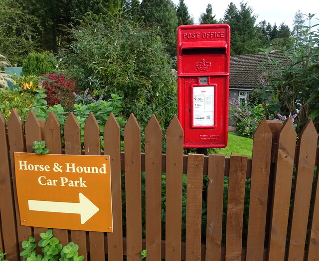
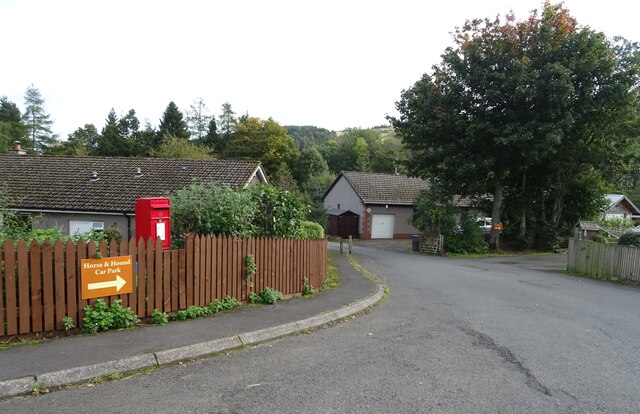
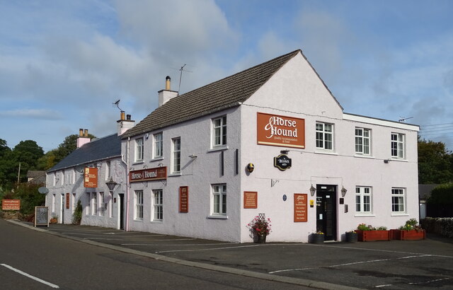
Nearby Amenities
Located within 500m of 55.409031,-2.6510397Have you been to Avenue Plantation?
Leave your review of Avenue Plantation below (or comments, questions and feedback).