Prison Strip
Wood, Forest in Berwickshire
Scotland
Prison Strip

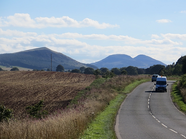
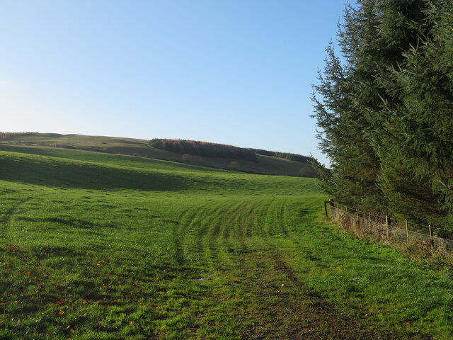
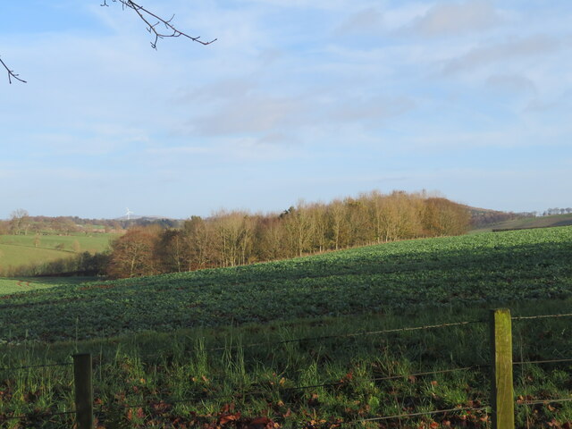
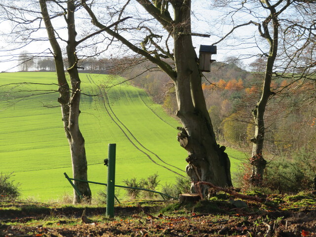
Prison Strip is a wooded area located in Berwickshire, Scotland. The forest is known for its dense vegetation and diverse wildlife, making it a popular destination for nature enthusiasts and outdoor adventurers. The area is characterized by tall trees, including oak, beech, and pine, as well as a variety of ferns, mosses, and wildflowers.
Prison Strip offers numerous hiking and walking trails for visitors to explore, providing opportunities to observe the local flora and fauna up close. The forest is also home to a variety of bird species, making it a prime spot for birdwatching.
In addition to its natural beauty, Prison Strip has a rich history dating back centuries. The area was once used as a hunting ground for the local nobility, and remnants of old stone walls and structures can still be seen throughout the forest.
Overall, Prison Strip is a tranquil and picturesque woodland area that offers a peaceful escape from the hustle and bustle of everyday life. Whether visitors are looking to hike, birdwatch, or simply relax in nature, this forest has something to offer for everyone.
If you have any feedback on the listing, please let us know in the comments section below.
Prison Strip Images
Images are sourced within 2km of 55.667177/-2.6561948 or Grid Reference NT5841. Thanks to Geograph Open Source API. All images are credited.


![Tramlines in winter cereal The crop is likely to be Winter Wheat [rather than Barley]. Looking towards Easter Morriston farm.](https://s0.geograph.org.uk/geophotos/07/35/03/7350336_d714b490.jpg)
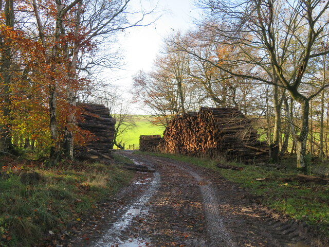
![Track across Legerwood Hill Heading 4km southeast from Birkenside to the Gordon-Earlston road [A6109]. A lot of timber cutting has been carried out, with piles of cut timber, waiting to be taken away, and huge piles of the rest of the woodland heaped up along the side of the track, the like of which I have not encountered before.](https://s1.geograph.org.uk/geophotos/07/35/87/7358745_81d332c2.jpg)
Prison Strip is located at Grid Ref: NT5841 (Lat: 55.667177, Lng: -2.6561948)
Unitary Authority: The Scottish Borders
Police Authority: The Lothians and Scottish Borders
What 3 Words
///altitude.diagram.mistaking. Near Earlston, Scottish Borders
Nearby Locations
Related Wikis

Legerwood Kirk
Legerwood Kirk is an ancient and historic Church of Scotland church in the former county of Berwickshire, Scotland. It is situated half a mile east of...

Legerwood
Legerwood is a village by the Eden Water, in the Scottish Borders area of Scotland, near Lauder, near the Southern Upland Way. Legerwood Kirk is outside...

Birkenside, Scottish Borders
Birkenside is a village in the Scottish Borders, Scotland.

Corsbie Castle
Corsbie Castle is a ruined 16th-century tower house, about 2.5 miles (4.0 km) west of Gordon, Scottish Borders, Scotland, and north of the Eden Water....
Nearby Amenities
Located within 500m of 55.667177,-2.6561948Have you been to Prison Strip?
Leave your review of Prison Strip below (or comments, questions and feedback).